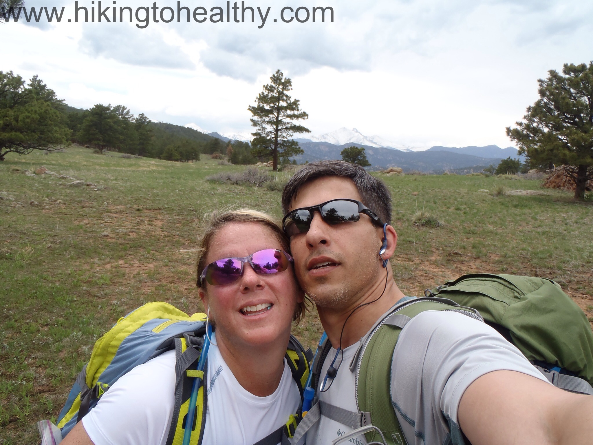
Yesterday I was sitting at work in conference call hell, which often leads to me playing games on my phone (Shhhhh). When my phone kinda started blowing up with wordpress notifications. Needless to say I didn’t get much game playing done and thank goodness no one asked me any questions on my calls because I had to know what was going on.
I was shocked and really honored to read all the nice things Mandie at GirlyCamping said about my humble little blog! It has really impacted my traffic and I am excited to meet the new followers I got as a result!
I wanted to give a big thank you to Mandie for the honor of being part of your list of top blogs for hiking/camping! I have to tell you that I have always really enjoyed your blog with how you describe your adventures and all the beautiful pictures you take! Your blog makes me want to go to California and explore all the places you visit! Plus you give great camping advice with a nice amount of humor!
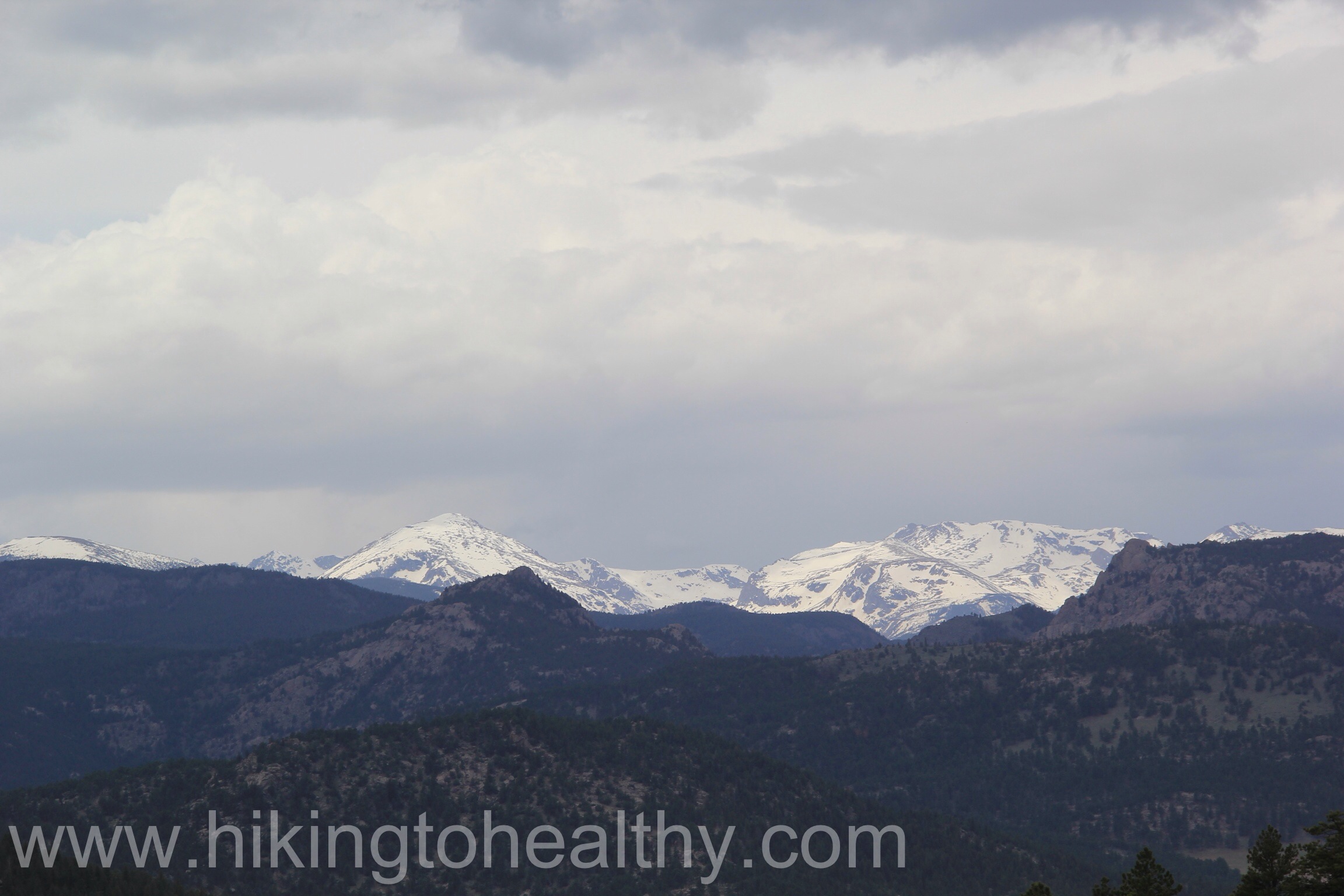
One of the best parts of moving to Colorado so far has been the amazing friends I have made! These friends have been a great source of motivation, information and comfort for me. Because of them I seen such beautiful parts of the state that I may never have adventured too if not for their advice!
Julie was patient and nice enough to take me on one of my first hikes here, one I later used to help me get in some sort of better shape to try hard harder hikes, Deer Creek Canyon ( hike details here). When I think back to that hike with her, I grimace at what she had to put up with from me and with such good grace! She has been so encouraging in my pursuit of hiking to healthy and everything I pursue for that matter, not to mention just a great friend to bounce hike ideas off of!
Karin knows so much about Colorado in general it is staggering, she gave me my second go to hike in the beginning of this journey at White Ranch Park( hike details here) with the Rawhide trail. At the time I first started doing it, I thought she considers this easy… note to self never hike with Karin! But as I have learned to discover, people who live here a long time know what is really hard and what is easy. She was right, it is now an easy hike for me but 53+ pounds ago, not so much. She is also my biggest cheerleader every day as I try to live a healthier more active life, she is always bragging on my weight loss to anyone who mentions I look great while she is around. She helps me stay on track when ever I need a little lift to keep on going. Everyone needs a Karin in their life….but you can’t have mine!
On this particular hike we were missing our third partner in crime, Carrie, who will be joining us for future hikes but she has been equally important to me and our move here. She took me out all over the place to do all sorts of different fun Colorado things, introduced me to so many wonderful people and all while laughing and having a great time! I often remind her that she is the reason I stayed in Colorado and I am thankful every day she helped me through those hard transition times, among other things!!
They have all been extra supportive of my hiking and have actually started asking for my advice on which ones to try. I was so excited that I begged them to come hike with me so this past Sunday I got to show them a trail they have never tried before.
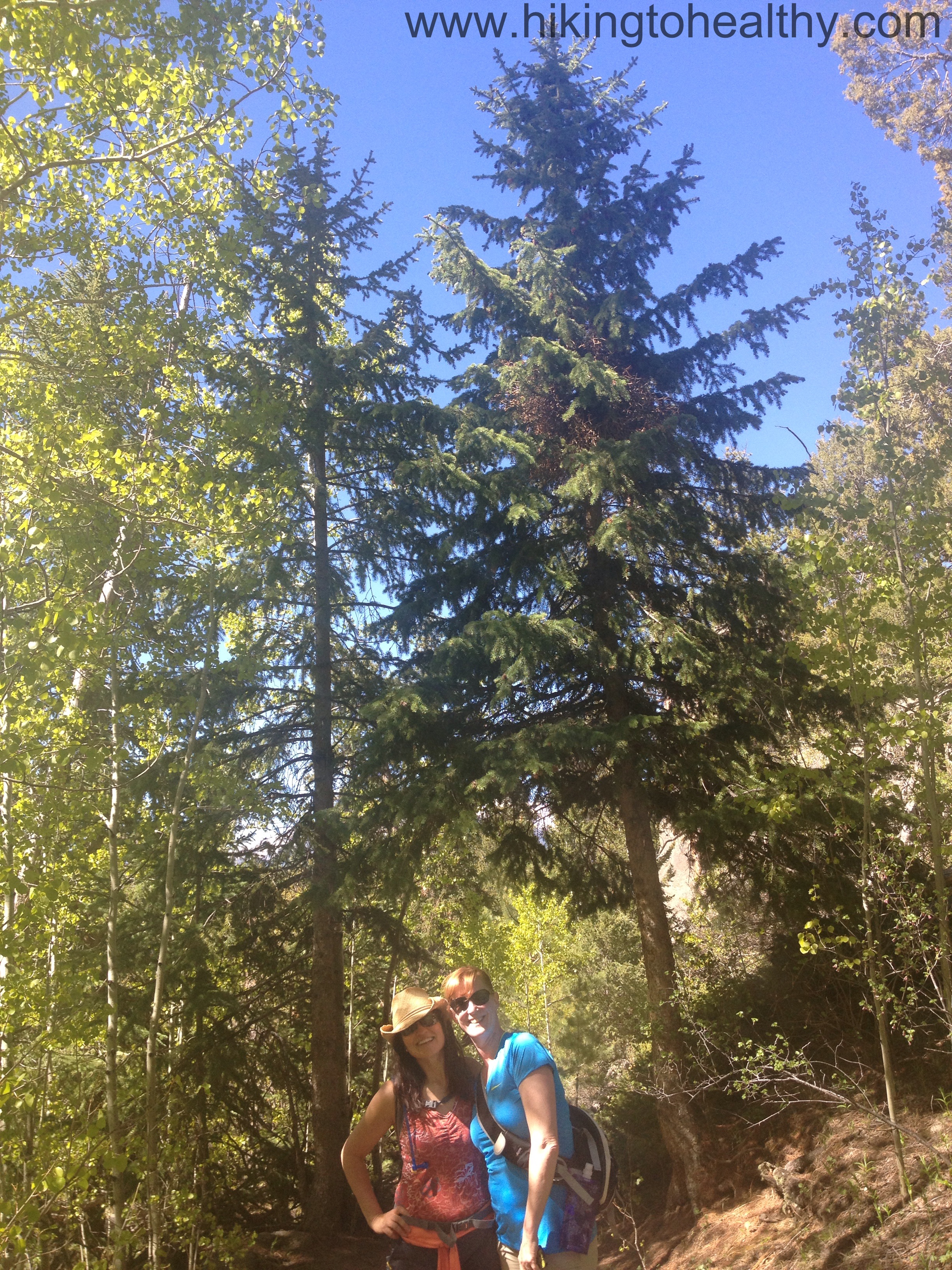
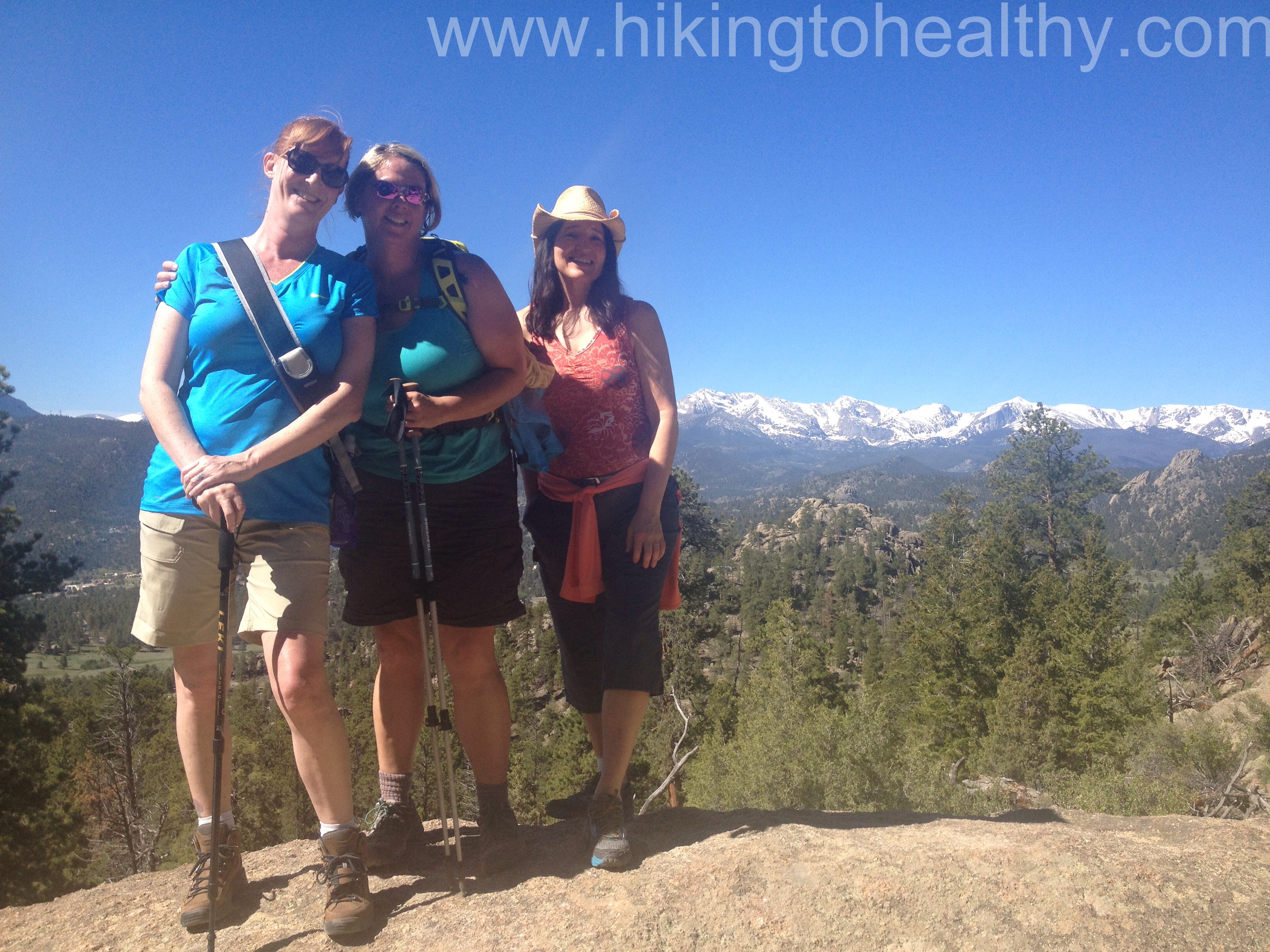
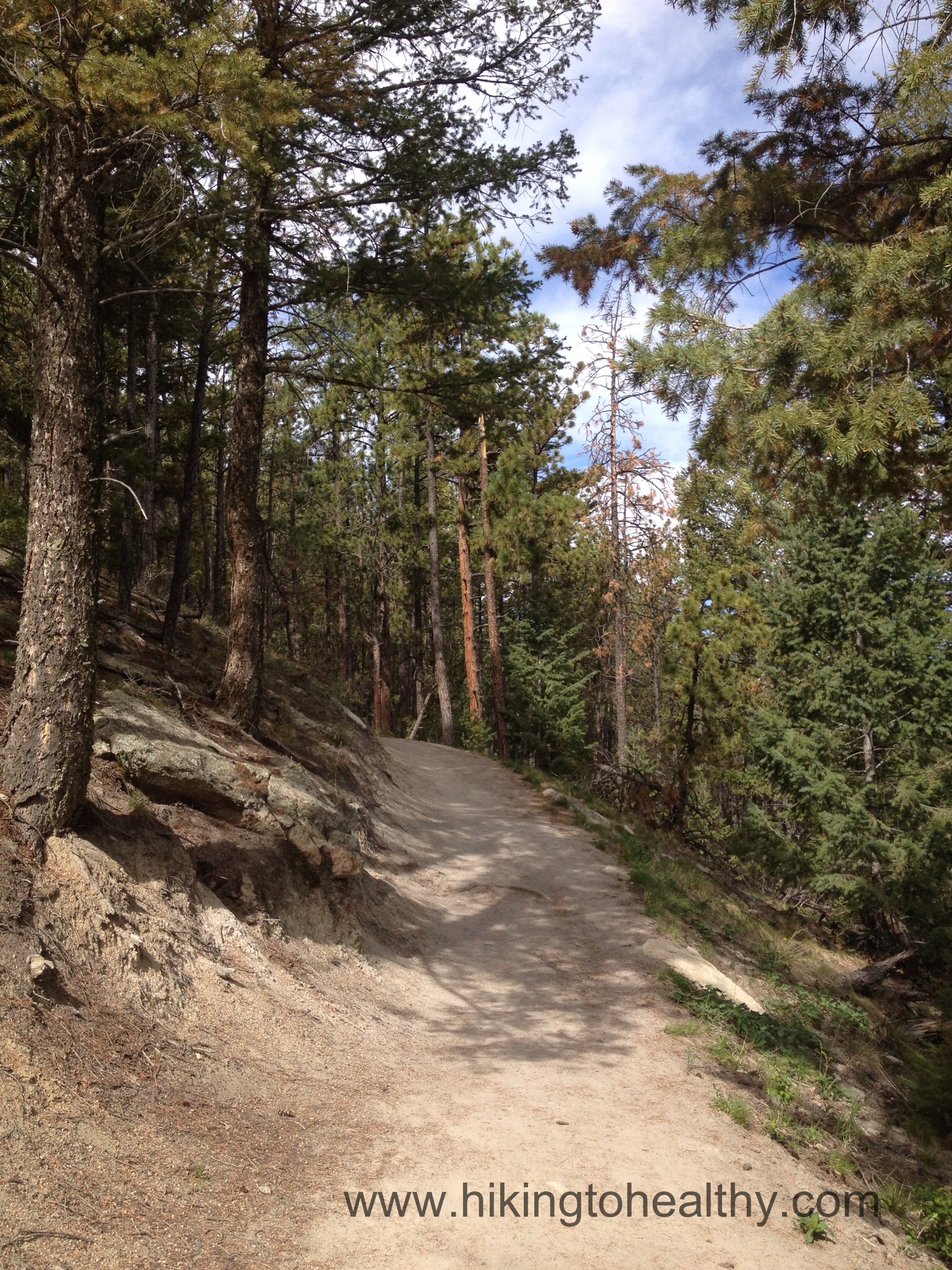
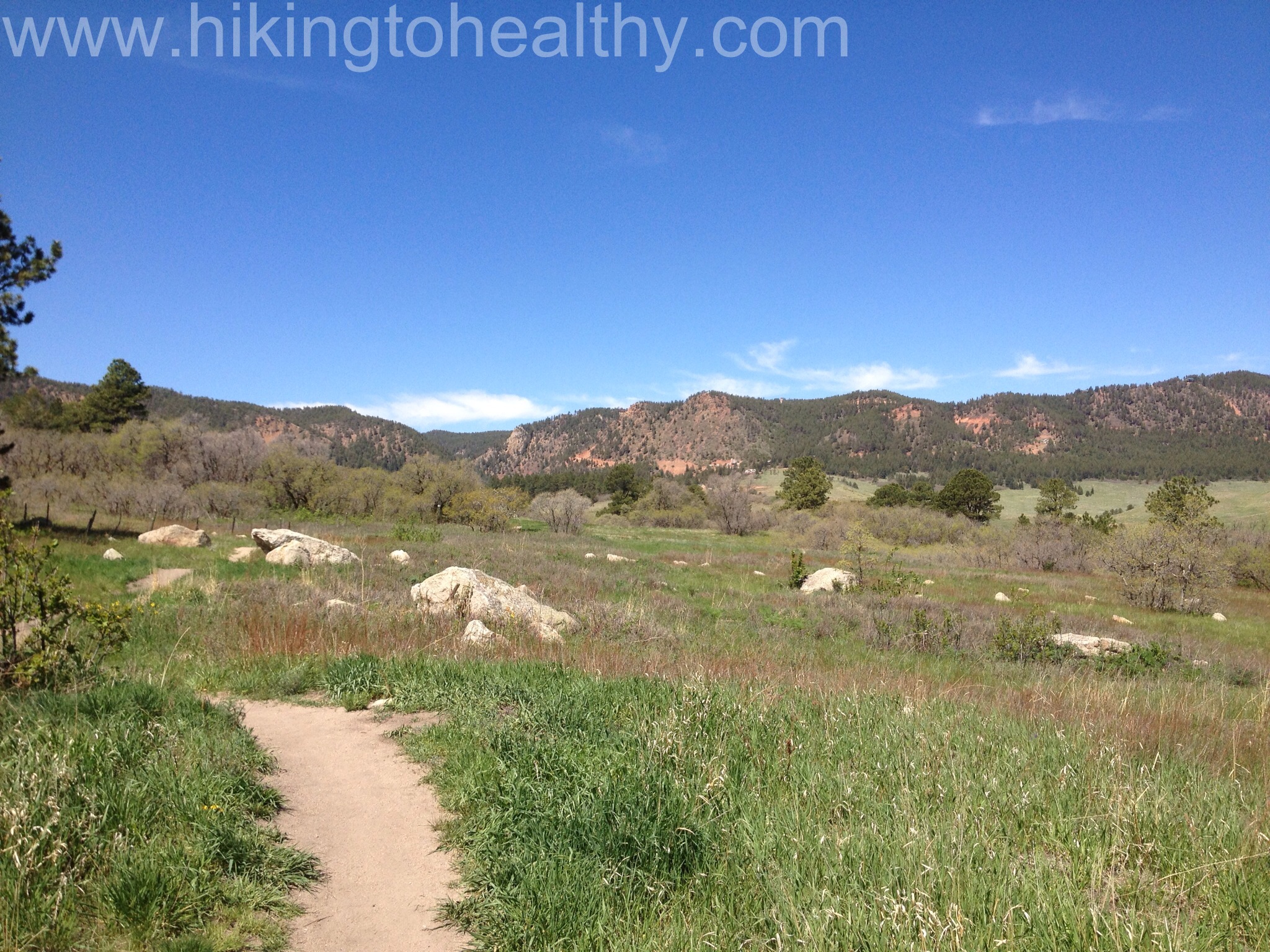
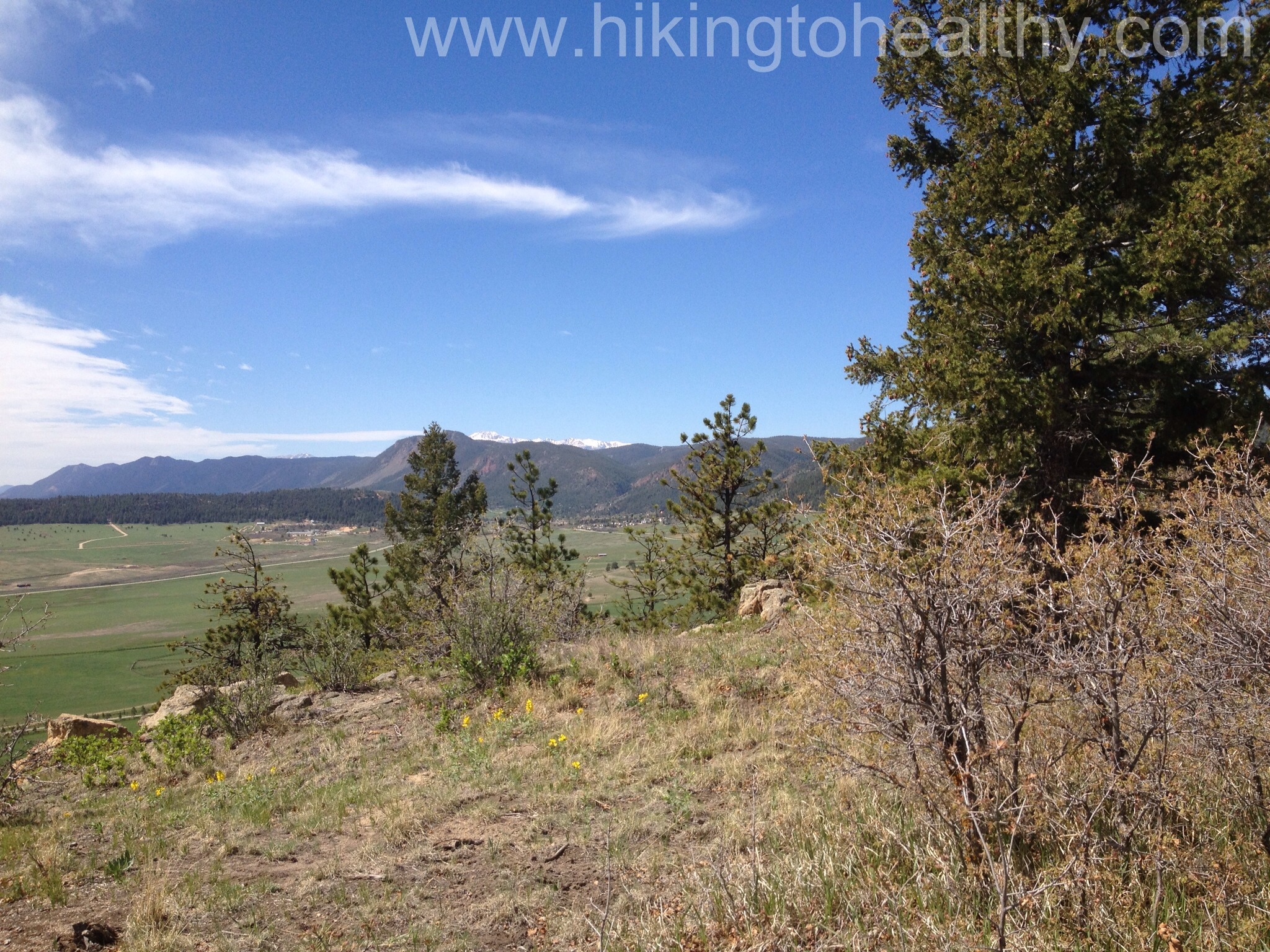
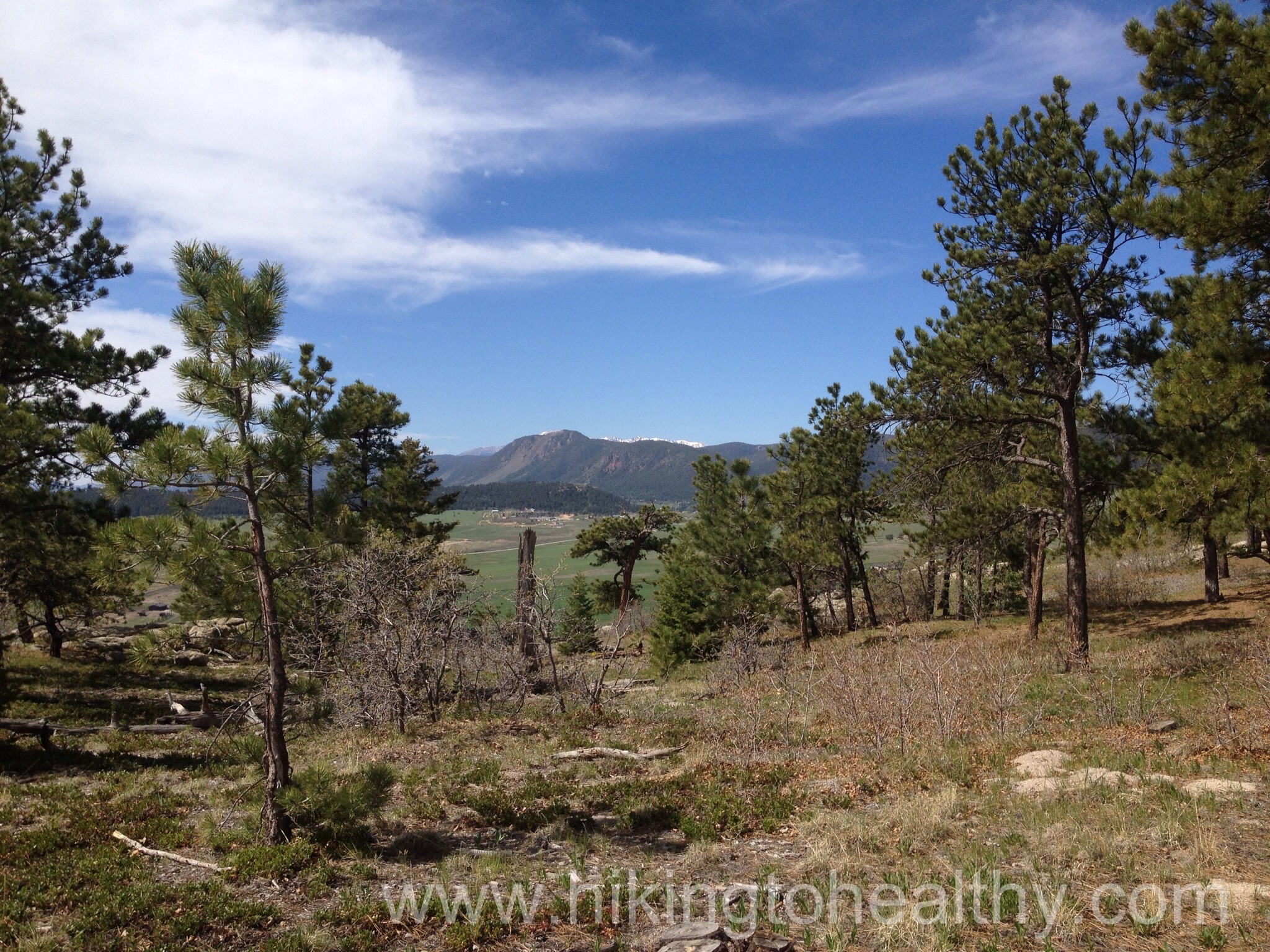
I took Julie & Karin to Gem Lake (hike details here). I love this hike because it is the perfect hike to plant the seed of “doing more hikes” with. It isn’t too long, has amazing views, and it does have a decent climb so it is hard work but the payoff is so worth it! The day was perfect in terms of weather, close to 70 degrees, sunny and dry which made the sky the best color blue while the clouds were the whitest white!
The only down side to the day is that the trail was very crowded, which made pictures a little more challenging and finding a nice spot to grab a snack at the top was harder to come by.
I need to rename this hike as the persuasion hike, because I think it helps in convincing people that Colorado and hiking are awesome! In fact during our hike on Sunday, it was easy to suggest that we try to get together and do a girl’s hike once a month! It was a great day with wonderful Ladies! Now once a month I will share with you our friends hike! I hope you like the extra hikes! Now for some favorite pictures.
Walter Orr Robert Trail> Mesa> Fern Canyon> Bear Peak Trail> Bear Canyon Trail> Mesa Trail> Walter Orr Robert Trail @NCAR
Starting Elevation: 6104
Highest Elevation: 8461 ( with some up s and downs we had a total Elevation gain of a little more than 2600 feet)
Trip Length: Officially it is anywhere from 7.5 to 9 miles depending on what trip information you can find, we were pretty close to 9 mile
Trail Uses: Hiker and Joggers- no bikes
Pets: Dogs are allowed but from Fern Canyon to Bear Canyon Leash only. For the Mesa Trail as long as they have the Boulder green tag for voice command, they can be off leash.
Fees: None
Degree of Difficulty: Difficult
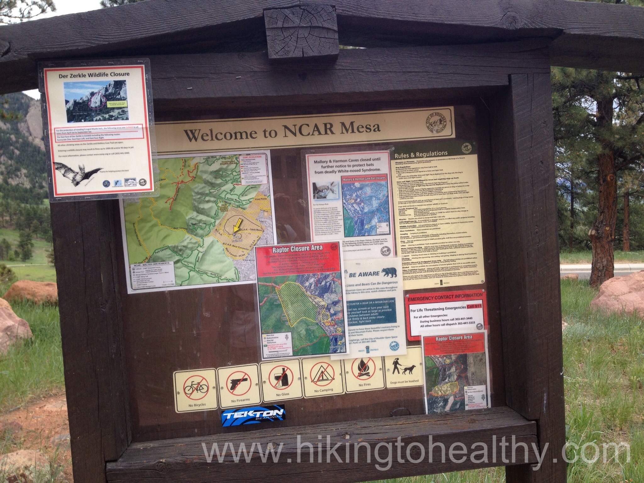
Bathrooms: None that I could find….although it looked like during regular business hours the lobby of NCAR could be used. We didn’t check to see if regular business hours included Saturday and Sunday. Sadly we discovered not many people practice leave no trace on this trail…
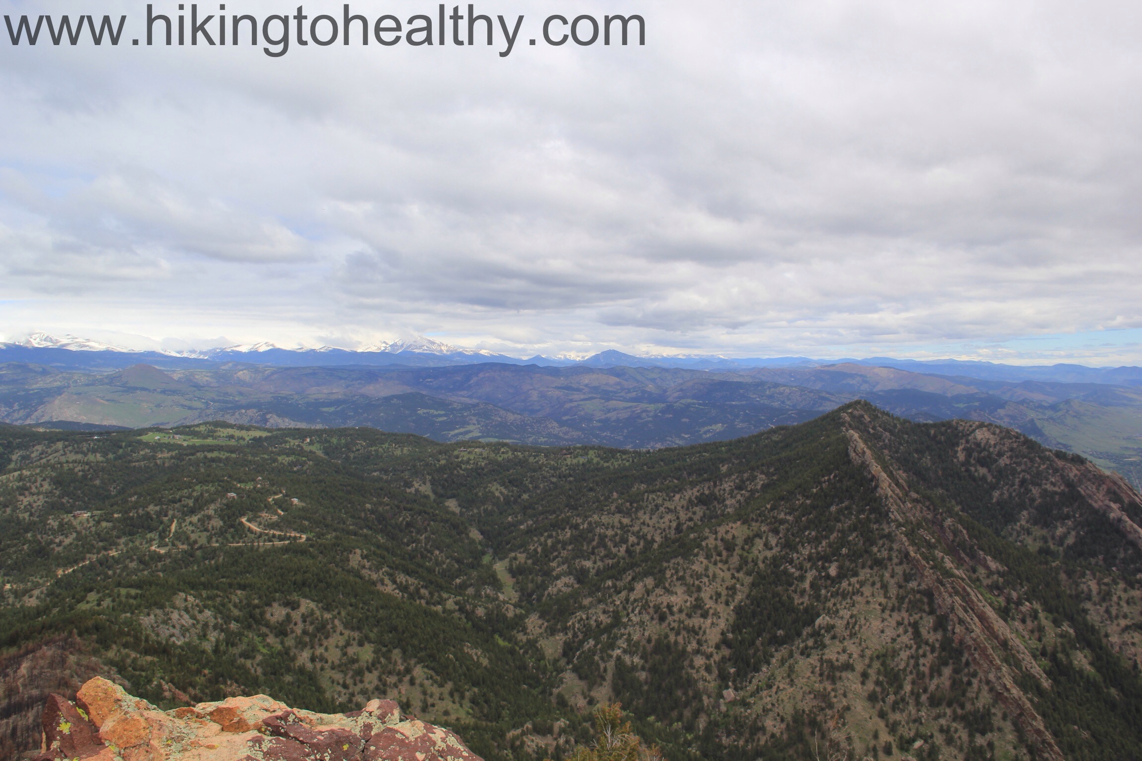
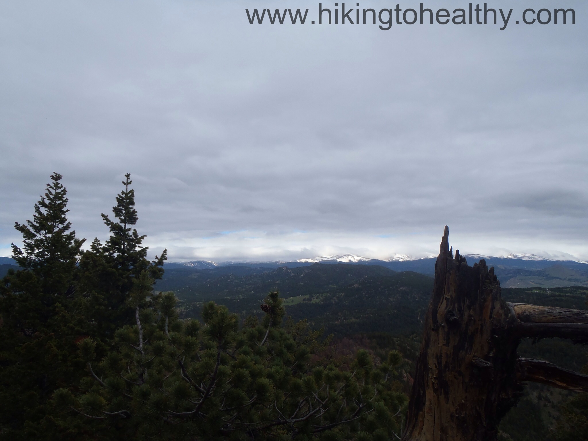
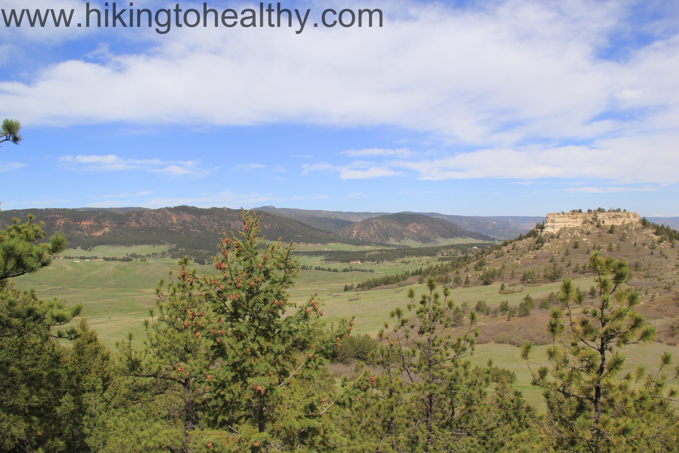
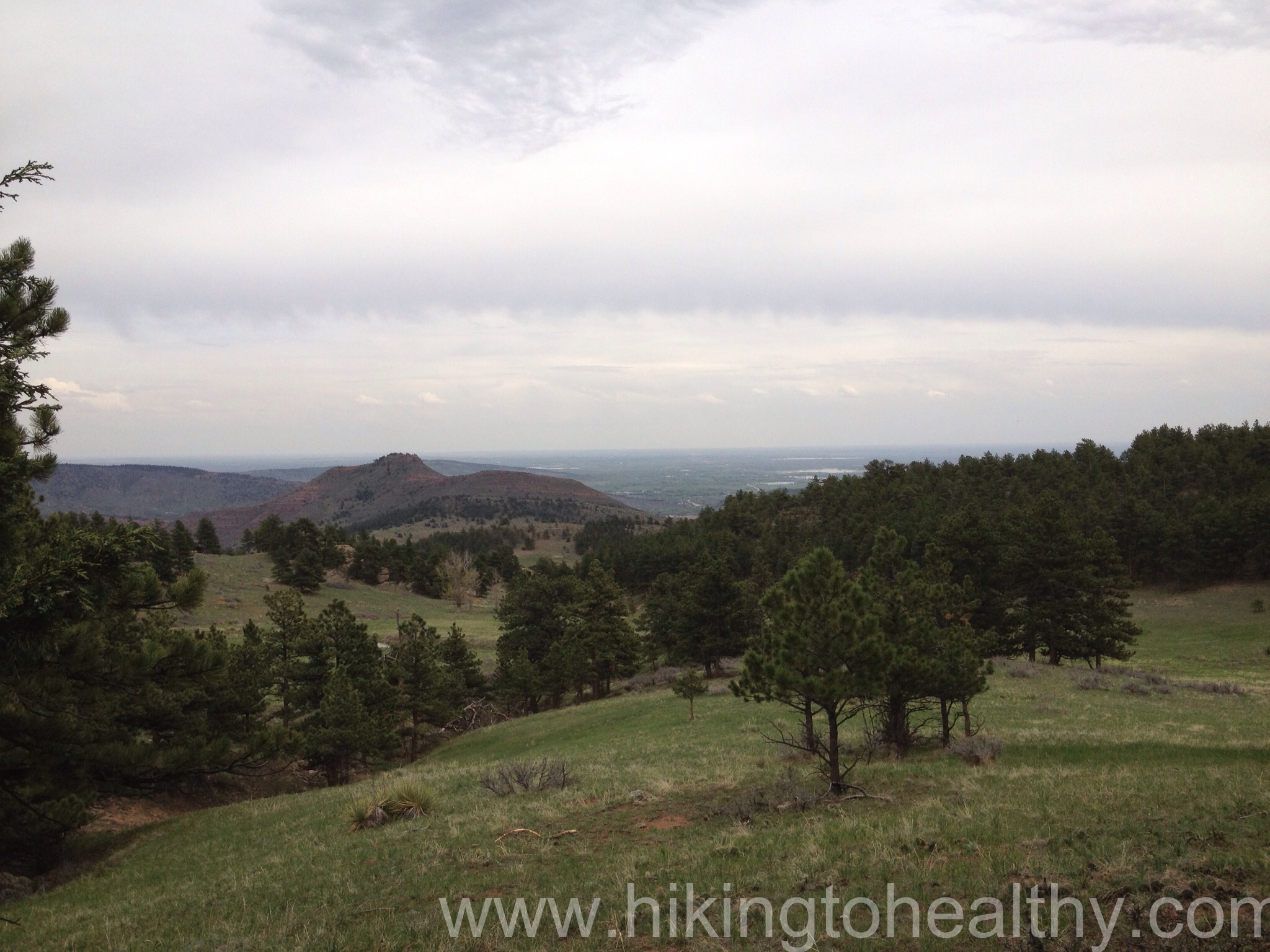
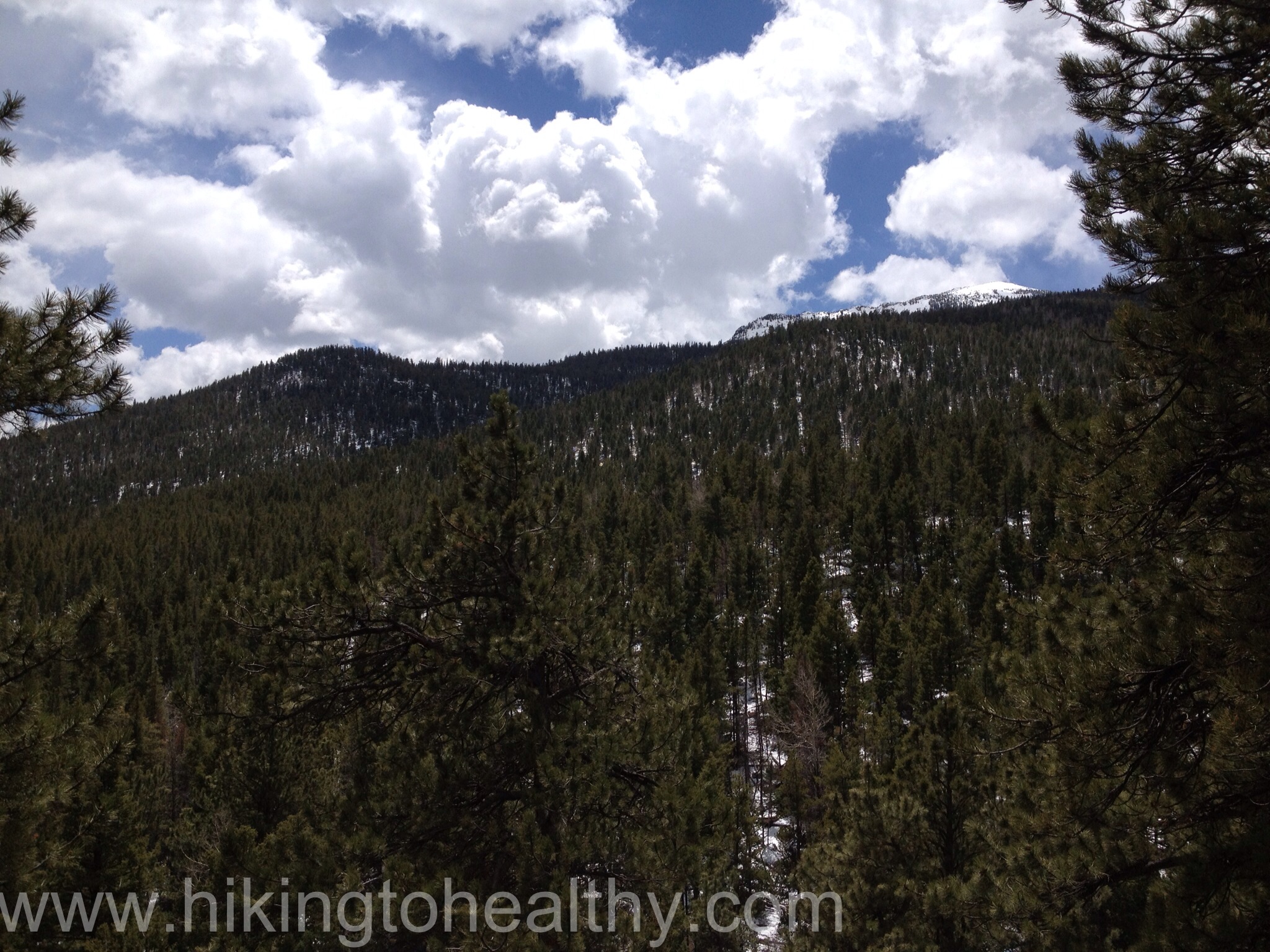
Views west from the summit of Bear Canyon
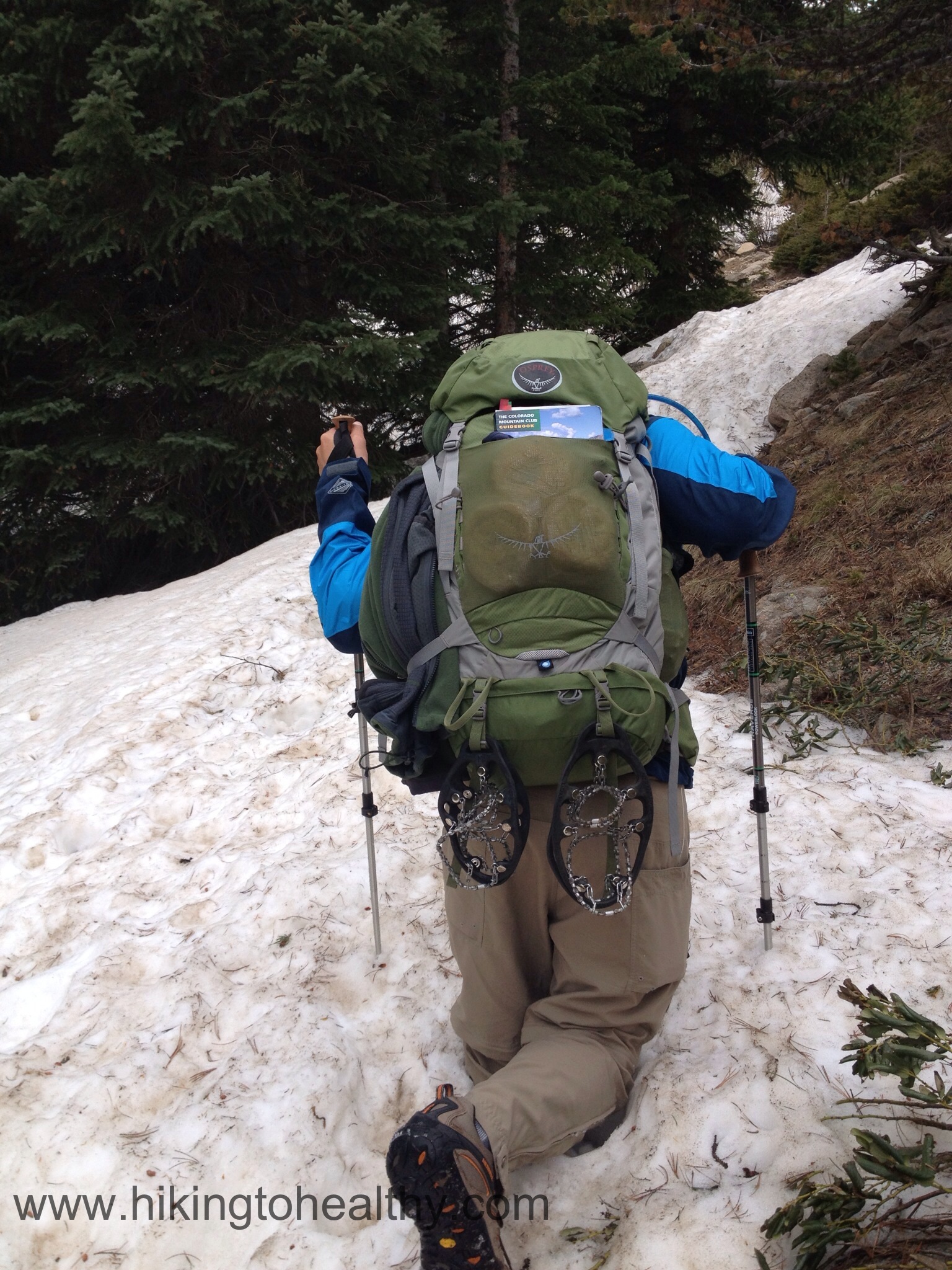
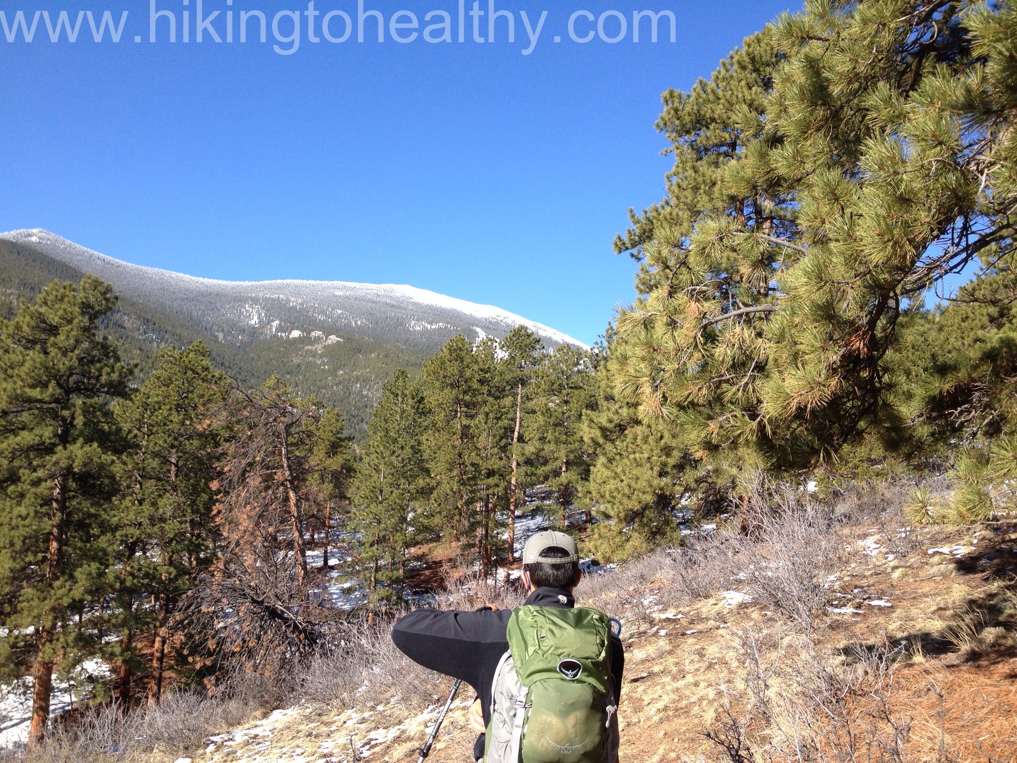
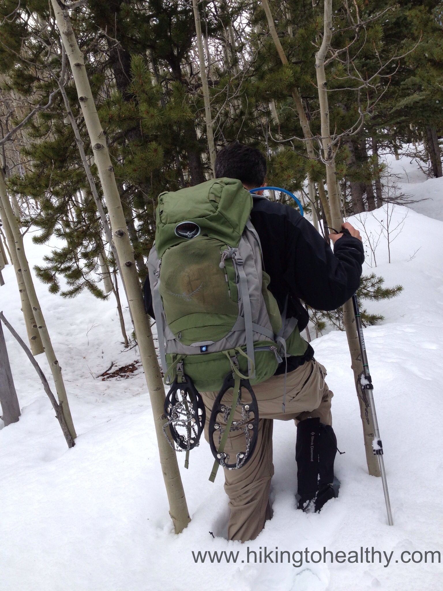
I have wanted to do this hike for a while, unfortunately much of it was effected last spring/summer when the back part of it caught fire during our horrible wild fire season. I kept checking periodically for when sections would reopen and then last weekend my hiking super hero Wendy did it and said that at least one of the ways were open again. Since the Continental Divide got hammered with enough snow on Wednesday and Thursday that they close I70 at the Eisenhower Tunnel in both directions Thursday morning, it was time to attempt this hike. A lot of hikers use it to get in 14er shape when they can’t get altitude hikes in due to weather because it is an almost 2700 foot elevation gain overall and because we opted to go up Fern Canyon, most of that( about 2200Ft) would come in just the 2 miles to get to the top. It was a great work out with great summit views!
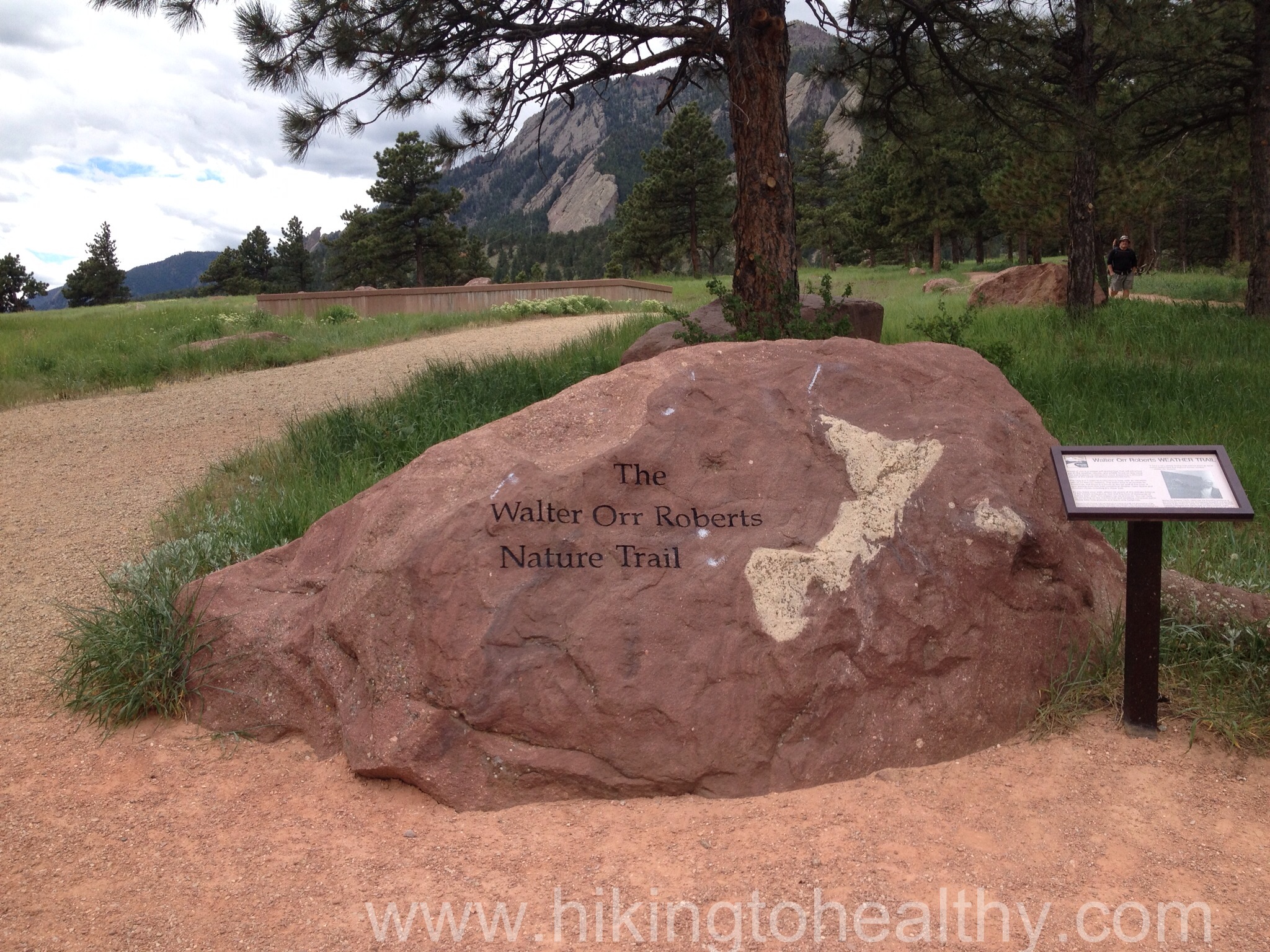
Lets talk trail, we opted to enter at NCAR( National Center of Atmospheric Research), which is easy to see from so many places in Boulder and the trail system is woven all around its ample parking lot. We got there early at 6:30AM and good thing because we got a close parking spot to the trail head, when we got back to the car a little before 1 it was packed. You drive right past the trail head as you pull into the parking lot, which we missed but as we walked west there is a huge rock with the trail name for the Walter Orr Robert Trail. If in doubt of where it is, follow the road west out of the parking lot and it will be obvious as you get closer to the building.
Take this trail around and down to the Mesa trail, you can also make it a little more interesting up here by taking in all the signs and displays that NCAR has set up, we paid more attention to them on the way back because we were too excited when we first started to take extra time reading. You will end up taking the Mesa trail to the Fern Canyon Trail head, most of the time you will turn left when given the option except when you get onto Fern Canyon that is a right turn off of the Mesa. Everything is really well marked with area maps and signs as you go, because of this I decided to not post the trail markers.
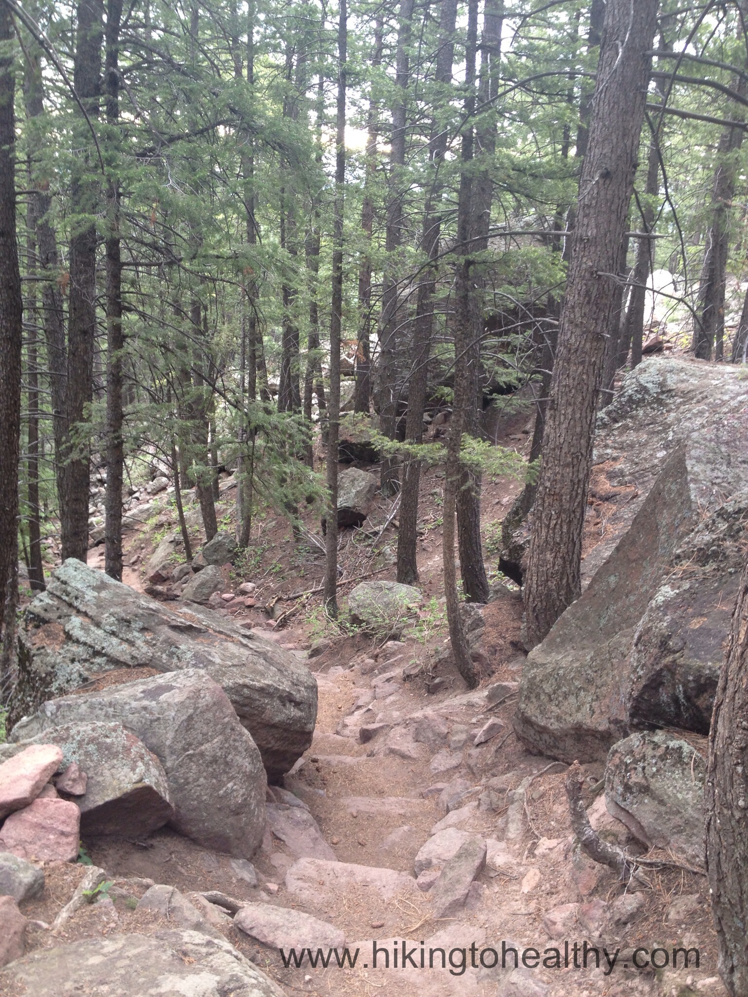
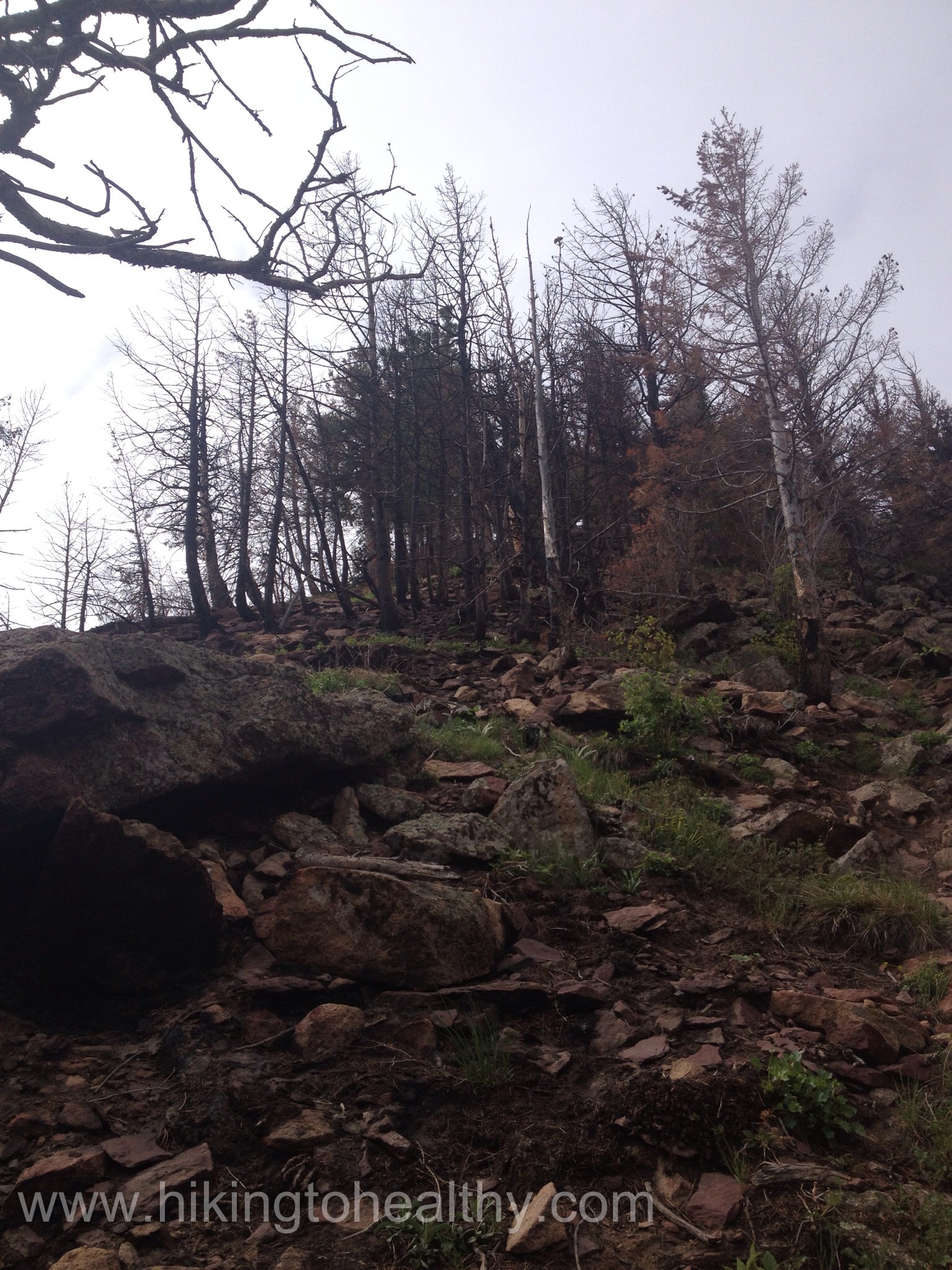
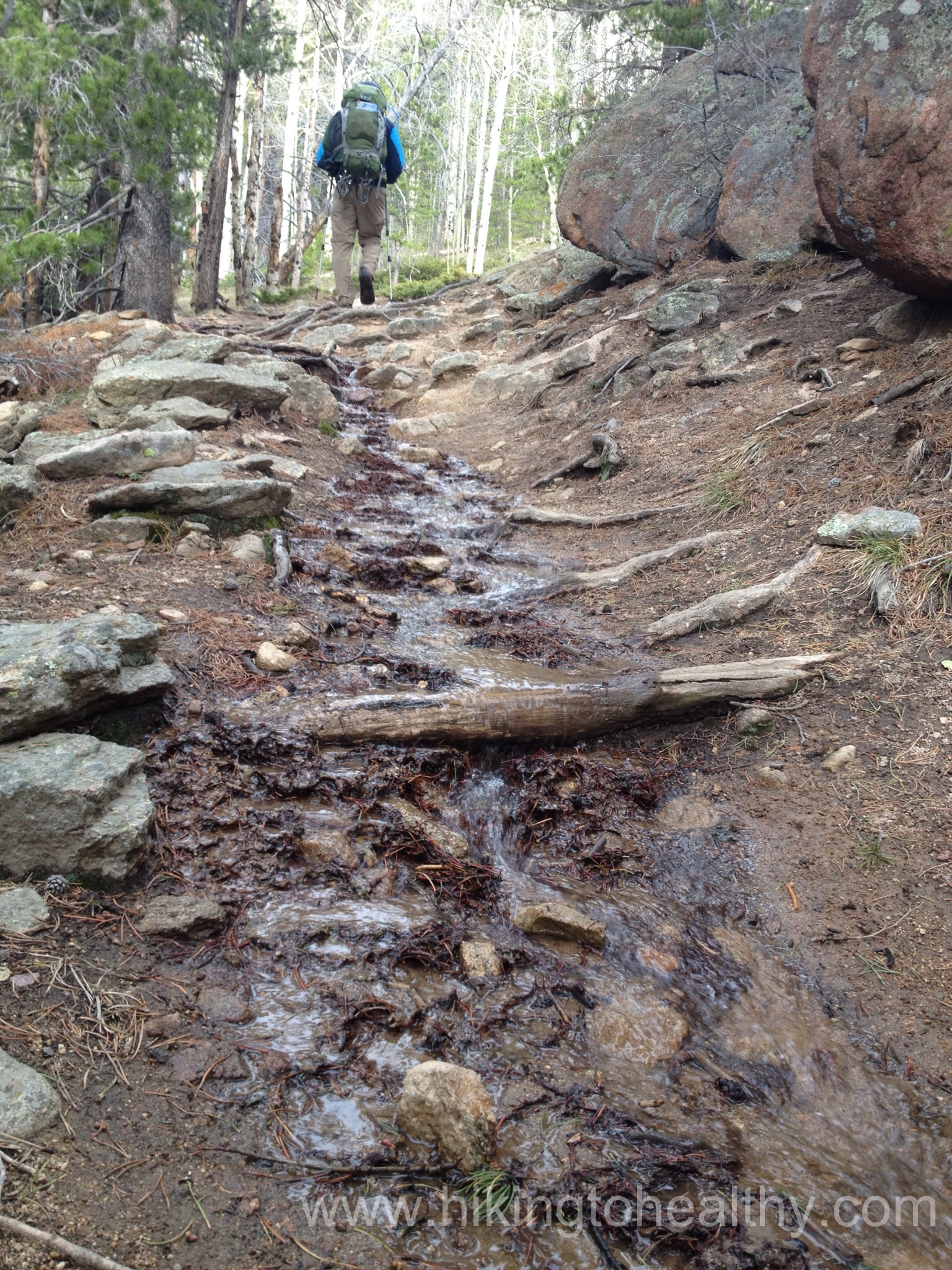
The Fern Canyon trail is steep, it starts out harmless enough then gets really steep and really rocky. In some places having poles didn’t help us and we would have to just use our hands to climb up, I am going to post a series of pictures of the different parts of the Fern Canyon trail so you can see how it changes as we made our way to the summit.
Early on Fern Canyon Trail
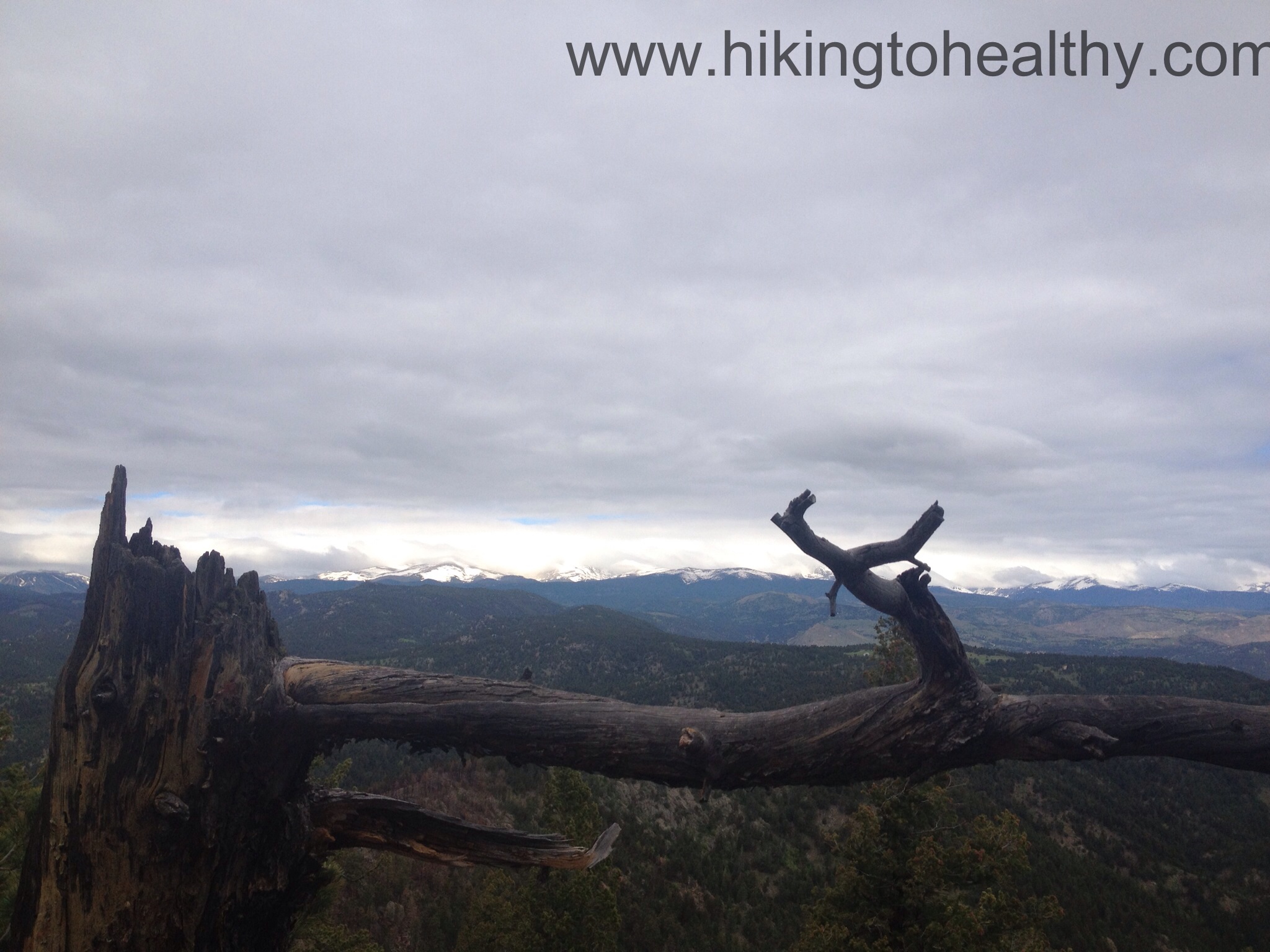
Where the fire came over the ridge and close to the summitFinal approach to the summitMe at the summit
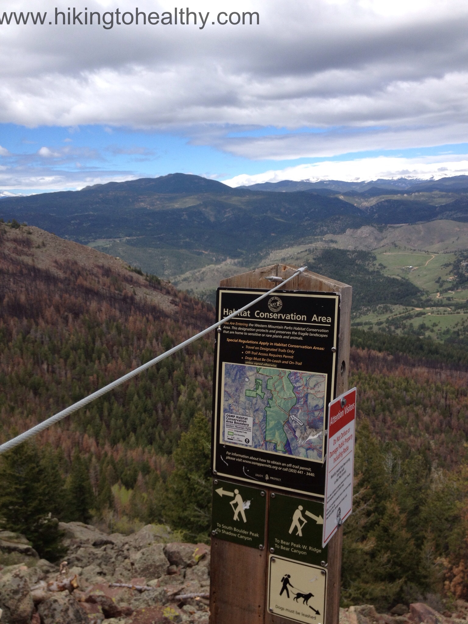
When we got to the summit we actually took turns climbing up, it is climb that requires both hands and concentration. There were a surprising number of hikers who didn’t even bother going up, they said that there is no point in going up as you can see everything good from the trail breaks. Plus the way to Boulder peak is still closed because of the fire as is Shadow Canyon. We had something to eat took a bunch of pictures and then headed down via Bear Canyon trail.
Bear Canyon Trail from the summit
You head to the right and down from the summit climb, then you come to Shadow Canyon and the Bear Canyon trail heads as you can see the Shadow Canyon trail is still closed. Go Right and down….
We once again put away our poles and used mostly our hands to get down, the first quarter-mile down is steep but not as steep as Fern Canyon. Personally I feel like down is the harder part of a hike and so I wanted to take the less steep option down, this was not the norm on Saturday I have to say I was surprised. The truth is I was the biggest person on this loop so maybe the stress of down on knees and ankles isn’t a concern to all the super healthy in shape people who passed us. Bear Canyon is much less steep and after that first quarter-mile we made good time back to the car. My knees ankles and feet were very thankful.
Looking back what we climbed down at the start of Bear Canyon Trail
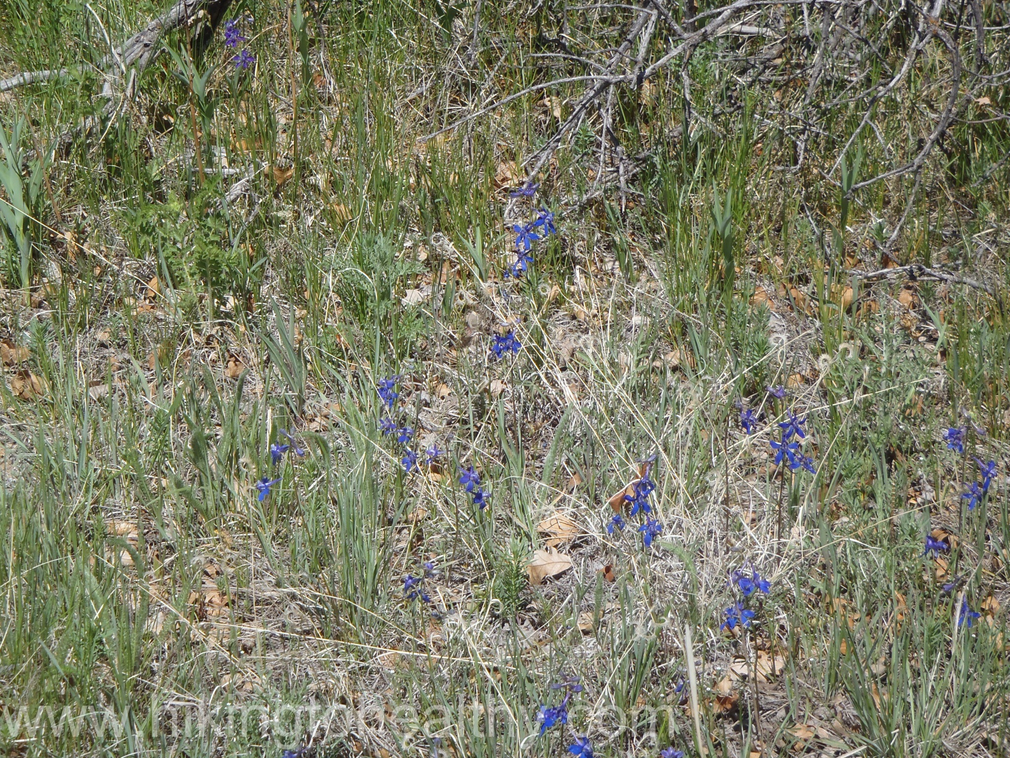
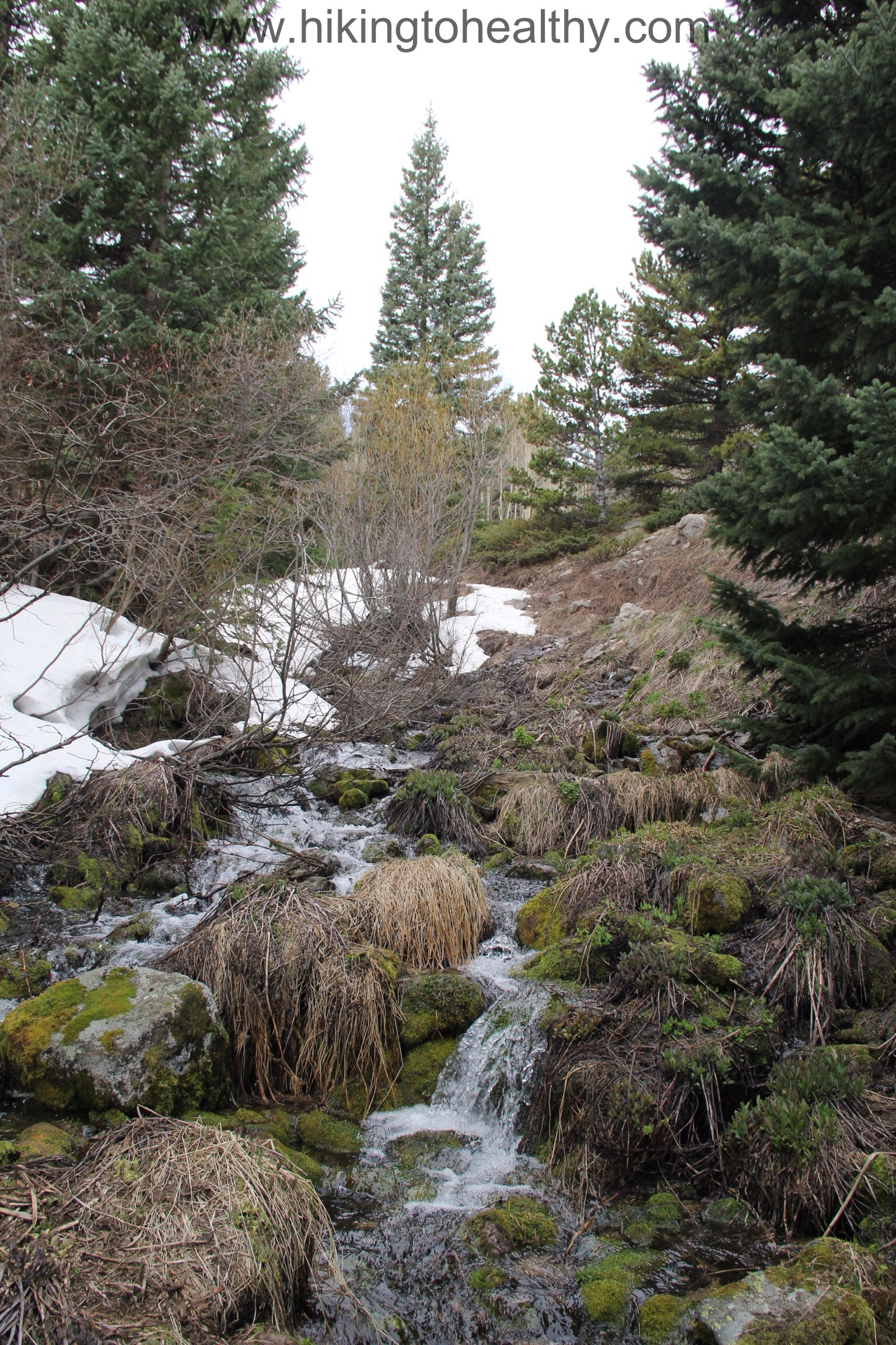
The trail started leveling out and moved through more of the burn area, which was strangely beautiful with its blacks, golds and then bursts of green where the flowers were sprouting up.
It took us a solid 3-3:30 hours to get up the mountain and just 2 hours to get down. It was a lovely path and after we got out of the burn area, we got whiplash from all the flowers everywhere! We really loved this hike and were super proud of ourselves with how well we did on it. My legs were a little shaky at the top but quickly recovered for the hike down. I hope you try this one out some time, it is definitely strenuous so work up to it but so worth all the effort! After the directions I will put my favorite pictures.
Directions:
From 36, take Table Mesa Drive west past Colorado 93 all the way until you get to a large parking lot for the National Center for Atmospheric Research (NCAR).
It stinks, but it could be worse. Sometimes I hate being a girl, actually about once a month I hate it. It’s not an excuse but a reality and typically it is like a 3 pound gain so I will take less than half a pound knowing that I likely would have had loss if not for the time of month.
The Mountains have been crazy beautiful all week again, but if you can believe it the mountains got snow Wednesday and Thursday. Enough snow along the Continental Divide that they actually shut down I-70 both ways at the Eisenhower Tunnel Thursday morning. That made me change our hiking plans for the weekend, I need a break from all the snow and I really want to finish a tough hike. We are insanely excited for tomorrows hike and a little bit nervous it is a really hard one that we have wanted to do for a while but have not attempted it because it was well below 10,000 Feet. Either way I cannot wait to tell you all about it.
Highest Elevation: 7568, for 550 feet elevation gain, but there is some up and down to if you do the loop I think you get closer to 650 ft
Trip Length: Officially 5.5 miles and that is about what my fitbit said too
Trail Uses: Multiuse; hiker, biker and horses
Pets: Dogs allowed on Leash and we did see a sheriff come by at least once to check.
Fees: None
Degree of Difficulty: Easy to slightly moderate
Bathrooms: One well used port-o-potty, keep your own Tp handy it was already out at 11:30AM on a Sunday.
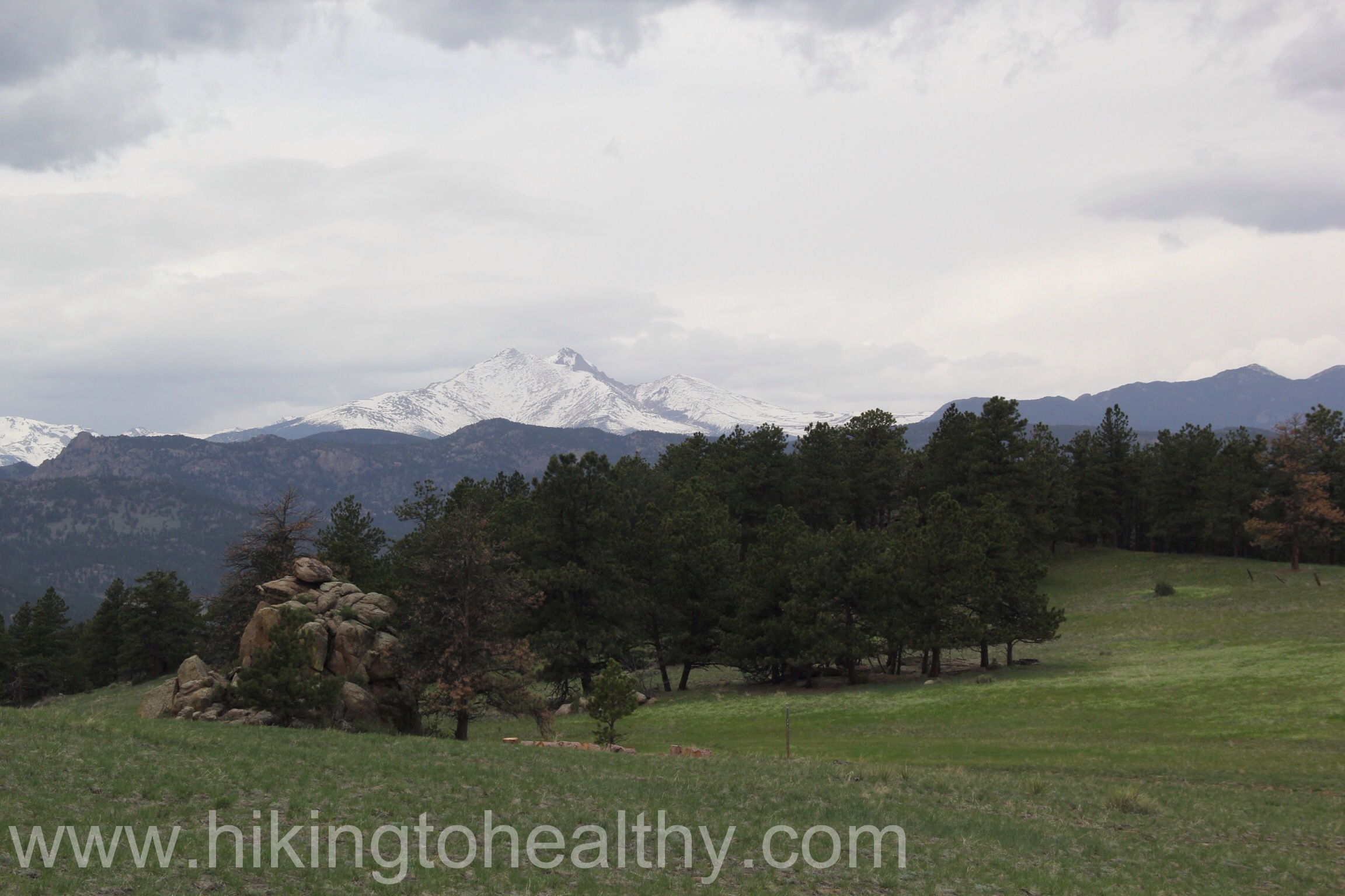
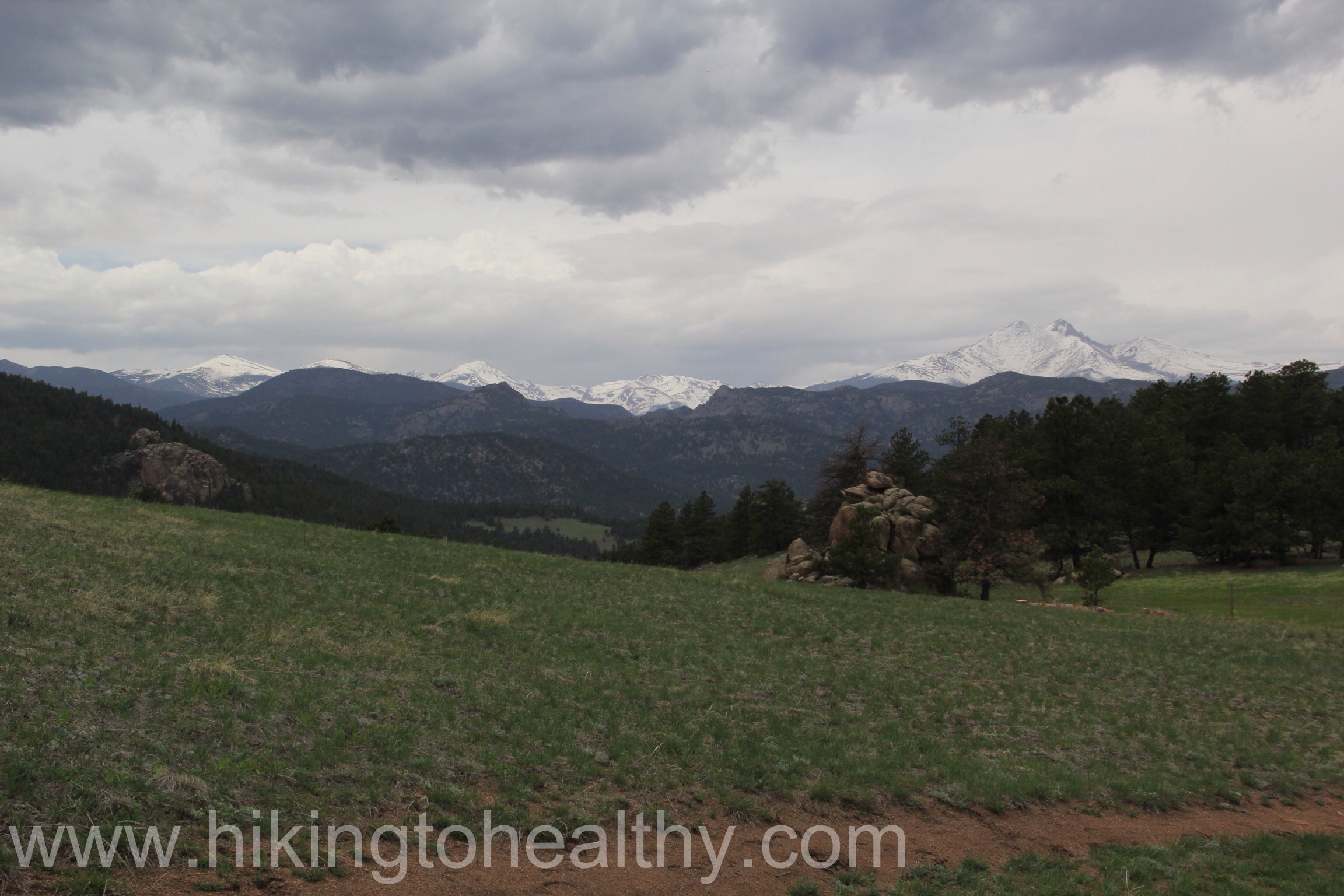
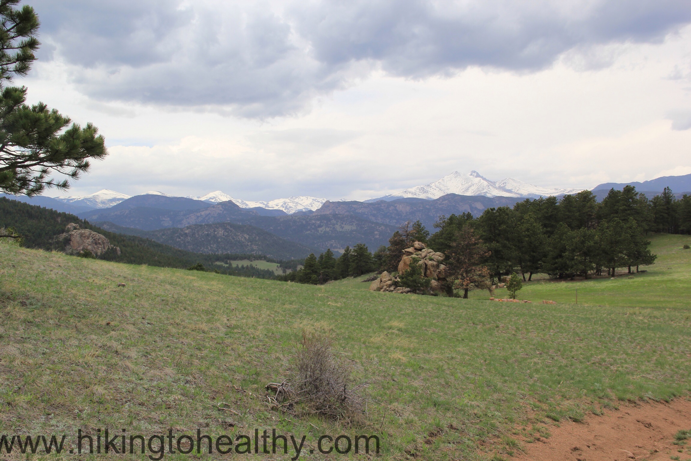
View of the North part of the Front Range from the top
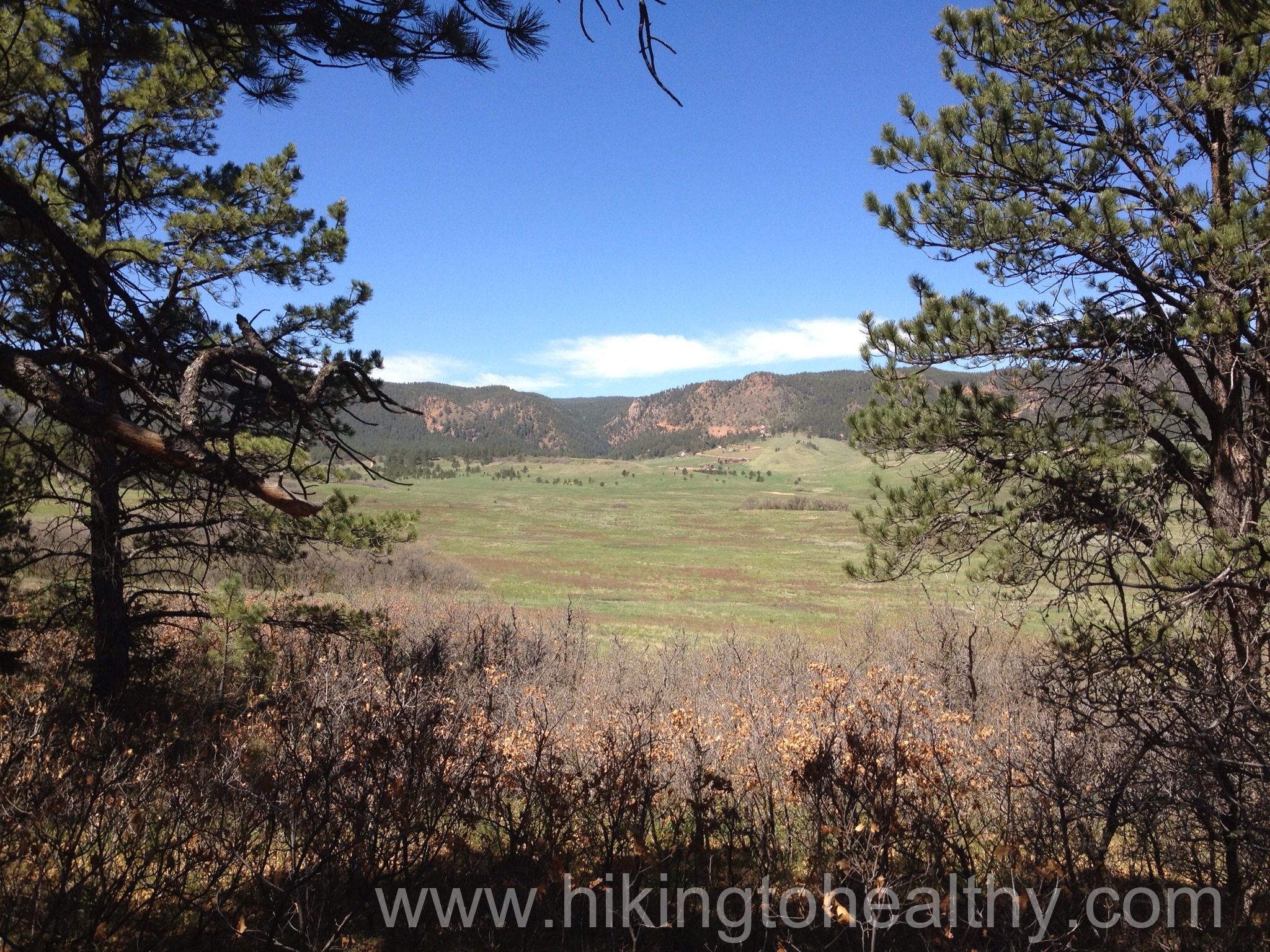
The best part of a long weekend is being able to get in 2 hikes. We were introduced to this hike by my good friend Karin and her husband Doug a few years ago, we went in early spring which was good because there was no one there but not so good in that it was insanely windy and so we avoided the top loop. What a shame that we did because it was spectacular in its almost complete view of the front range and amazing on Sunday.
Let’s talk trail, it is pretty easy to find this trail head and the parking lot has a big beautiful entry sign into the parking lot which is decent size but busy!
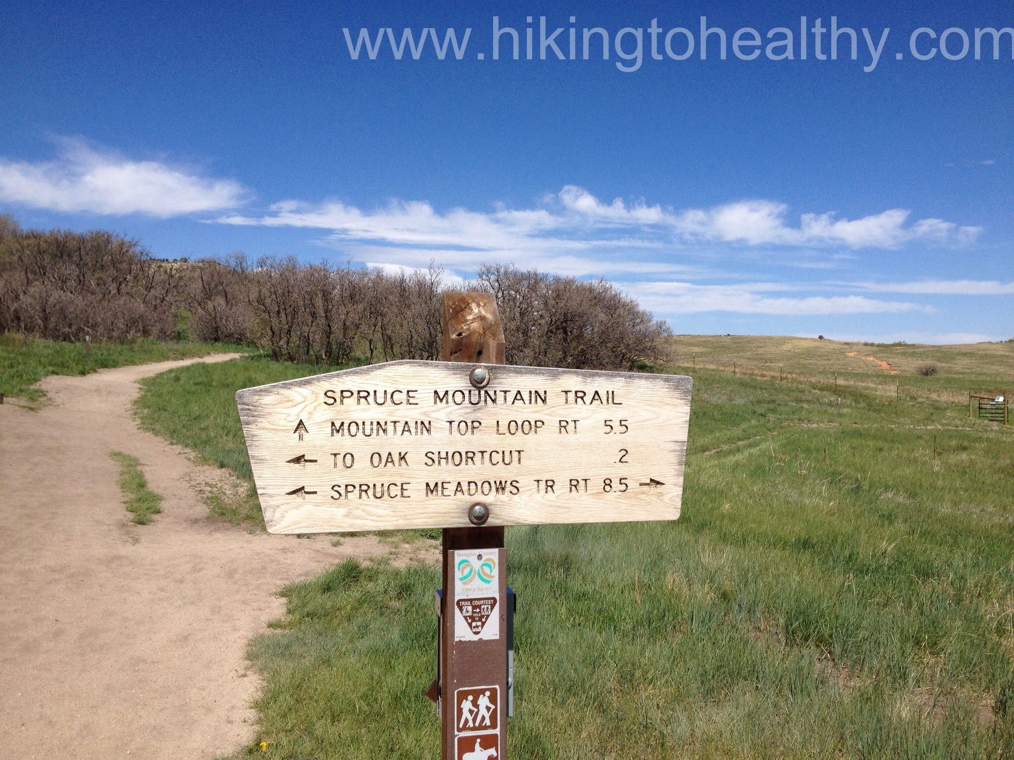
Parking LotTrail map at the start
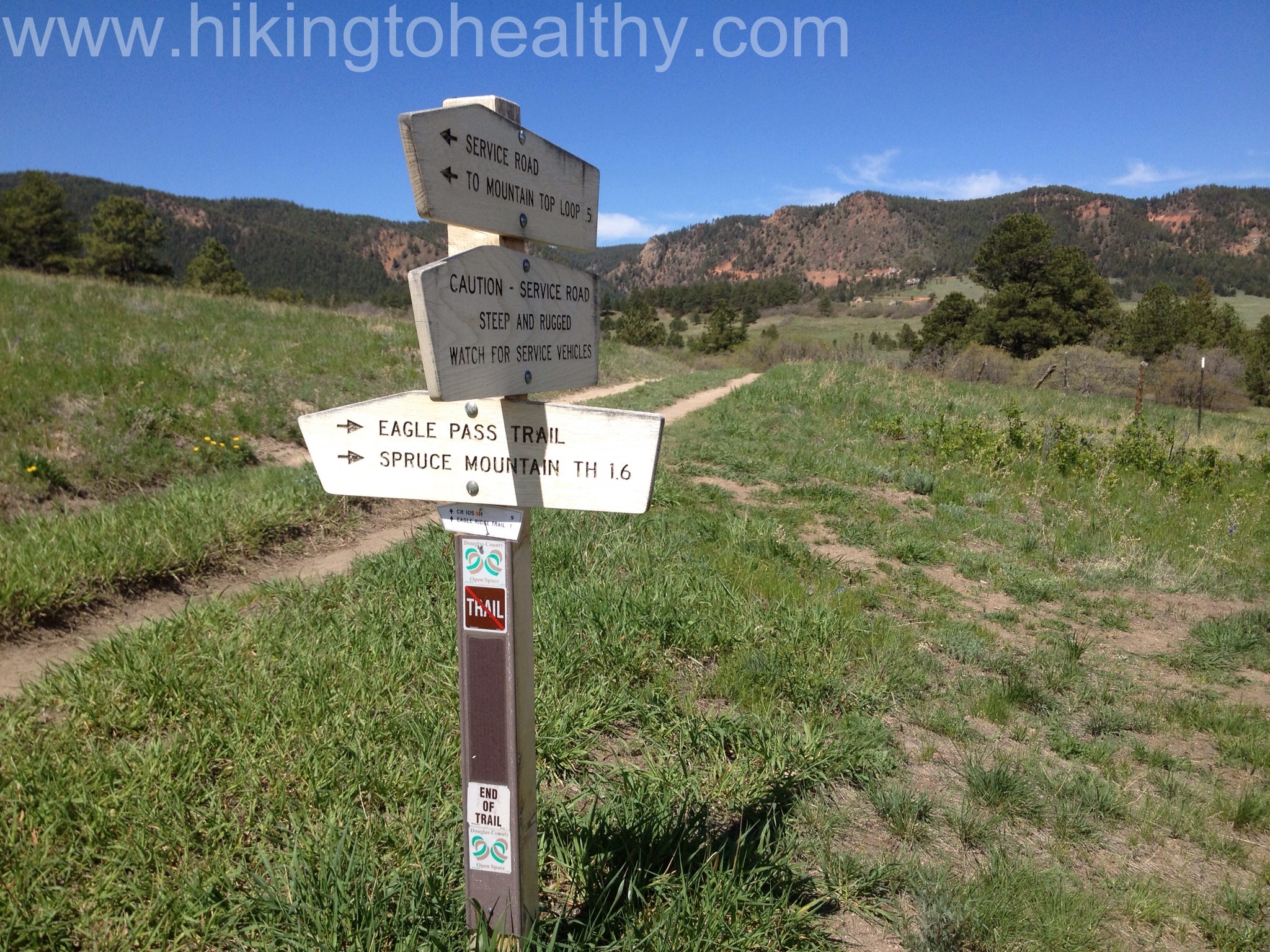
The trail signage is really good here, we did the Spruce Mountain trail which is the route to the left and up from this first marker. It is s nice short climb to the first trial break and there are a bunch scenic views with benches to enjoy them on. It is also a nice place to catch your breath.
to the mountain top
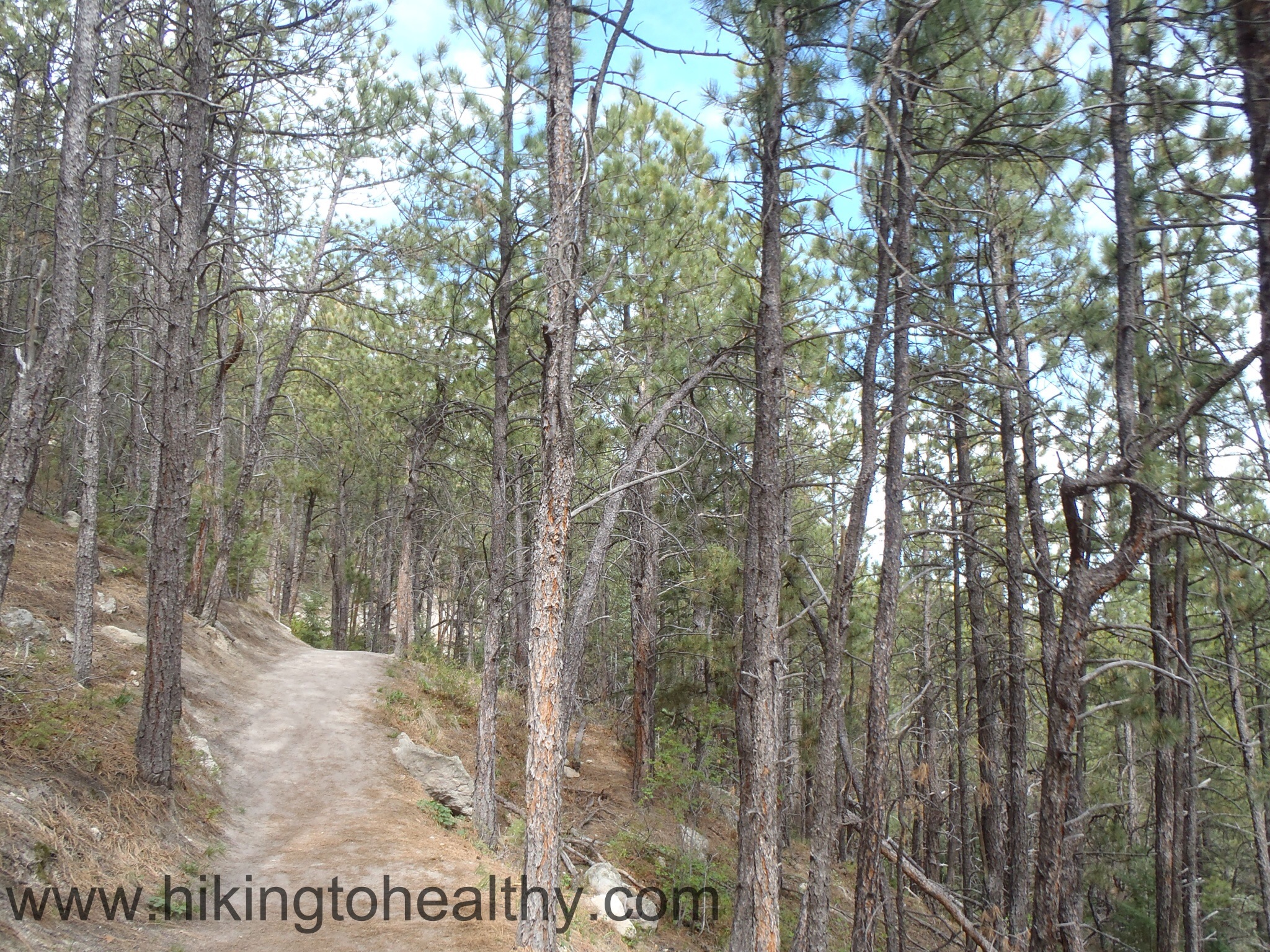
The walk up was mostly covered in pine and spruce with this nice sandy trail consistency with solidness beneath it. It smelled great and was lovely just in general.
Trail Conditions on the way up.
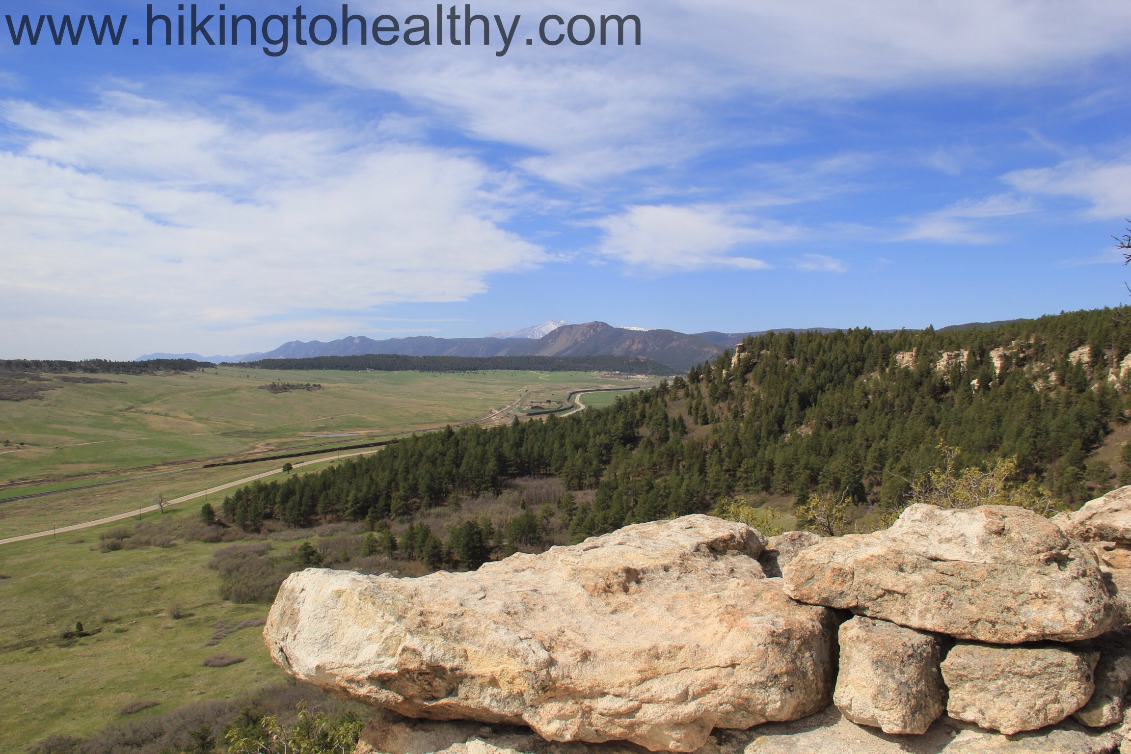
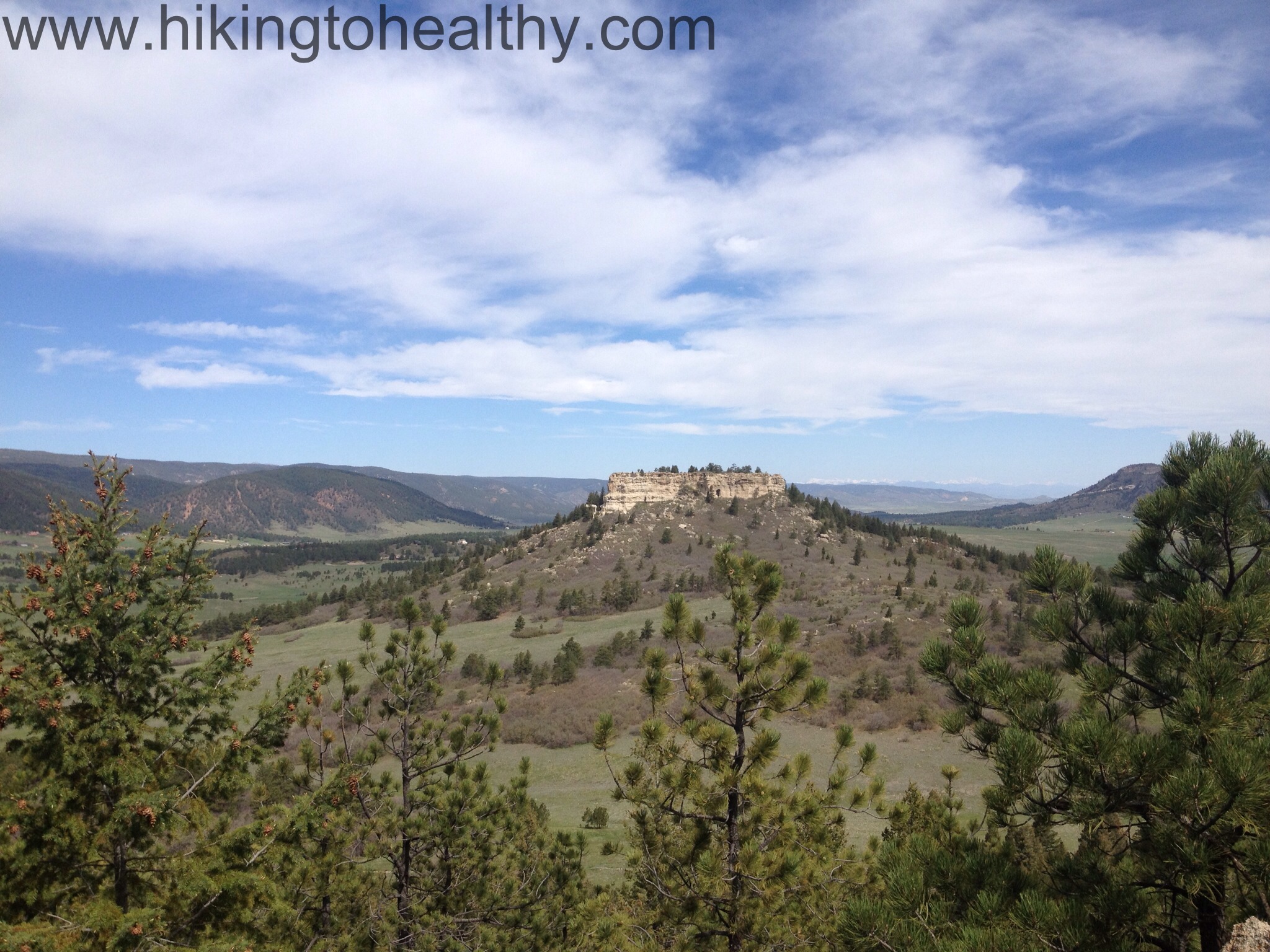
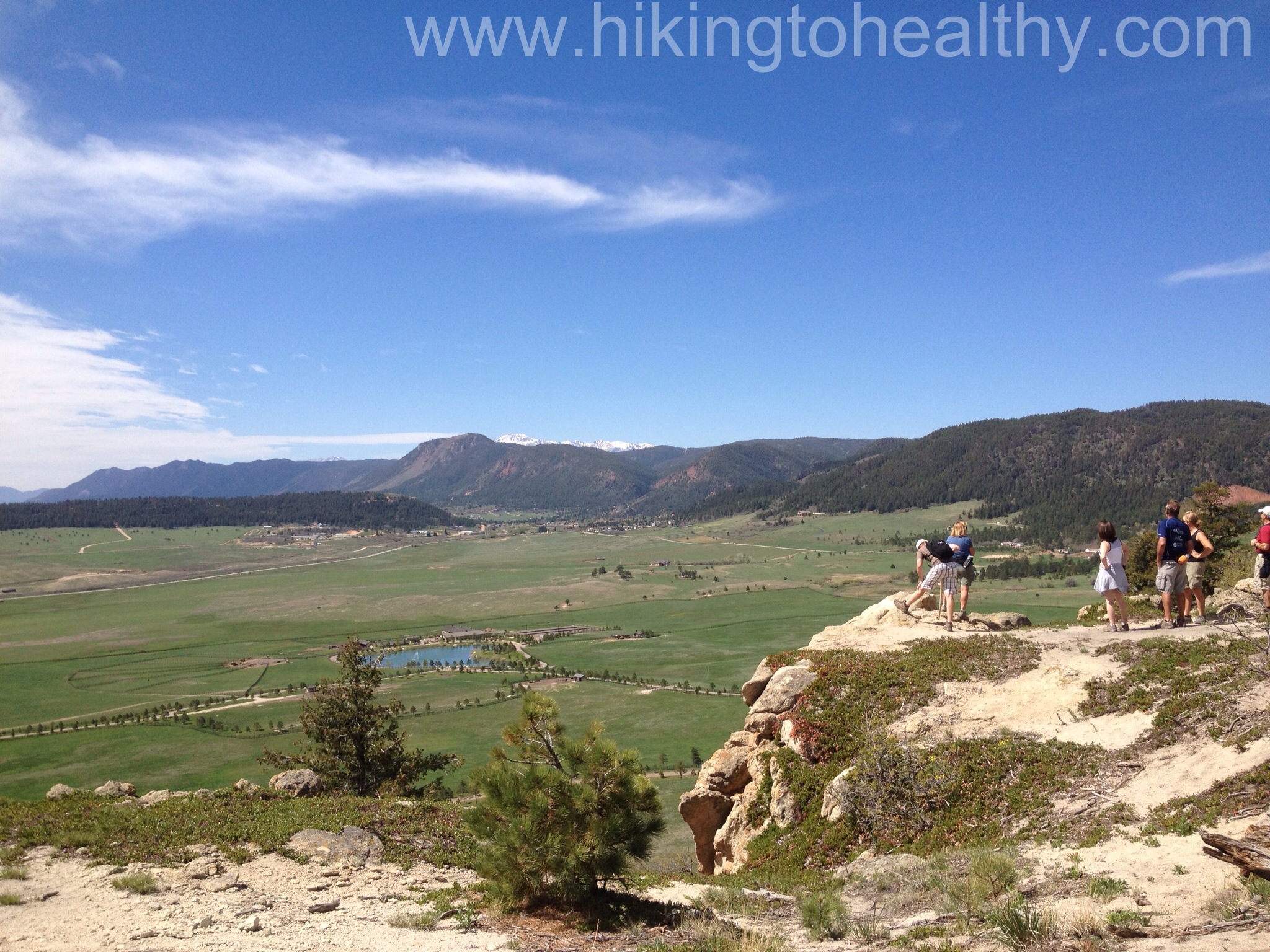
When we got to the top there is was the trail continuing to the right and this huge viewing area to the left and it looked like it made a loop in and out of rocks and trees with benches and lots of opportunities to enjoy the views of the South Front range with some sense of privacy. This place must get pretty busy and there was a nice crowd here on Sunday but not too bad.
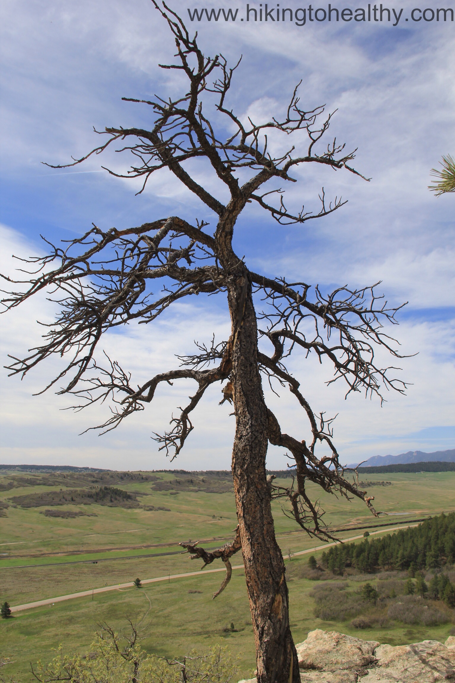
view in this outcropping. Thats Pikes Peak with snow.Cool Tree
Somehow we got back on the trail with missing how we did it so I will make the guess it is pretty easy to do. We came around to another view-point on the opposite side of the Mountain top so our views were all of the north Front Range and then we got to the next trail break which gave the option of the Mountain top loop or the service road. We opted for the Loop on such a beautiful day with enough wind to keep us comfortable. Here are a series of pictures showing the transition to the loop.
after the Northern viewpoint
After we went around this corner it was like a museum walking past view points with one spectacular view after the next. It was also being enjoyed by lots of people so we kept going.
We got this view of directly west from lower down but it was essentially the same:
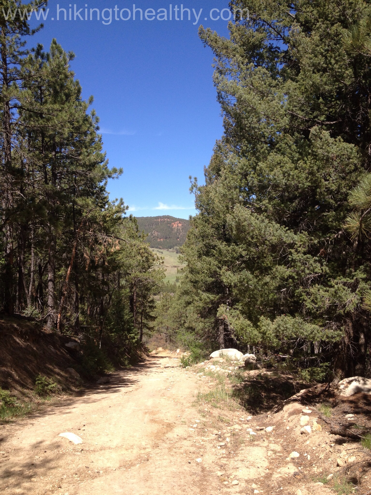
At the end of the loop we took the service road down, which is not a popular choice so we had it almost to ourselves. The service road is ROUGH and steep with huge crevices and I am not really sure how they get any vehicle up there but I know they do…
From the bottom of the service road we went right and through a gate and then it was exposed and relatively flat the rest of the way back to the parking lot. It was a warm day and we were slathered in sun block, which was almost not enough. Bring lots of water and wear sunscreen, it took us about 2 hours to complete the whole trail and we were moving at a nice clip. We did stop and take a lot of pictures in that 2 hours too so it is a great relaxing hike, lots of families and lots of all ages, tons of flowers. I haven’t stopped talking about this hike all week and I know my friends are like enough already, but if you find yourself near Larkspur CO hit this trail! After the directions will be some of our favorite pictures.
Directions:
13415 Spruce Mountain Road, Larkspur, CO From I-25, take the Greenland Exit (167) to the west and travel ¼ mile west on Greenland Road and ½ mile south. Bypass the Greenland Trailhead and continue right on the main gravel road (Noe Road) over two sets of railroad tracks. (If you have a horse trailer or very large vehicle, park at the Spruce meadows parking lot on your left and take the 2-mile trail to Spruce Mountain.) Cars can continue another mile west to Spruce Mountain Road. Take a left and head south for about one mile to the parking area on your right. Remember, cars and light trucks only may park here.
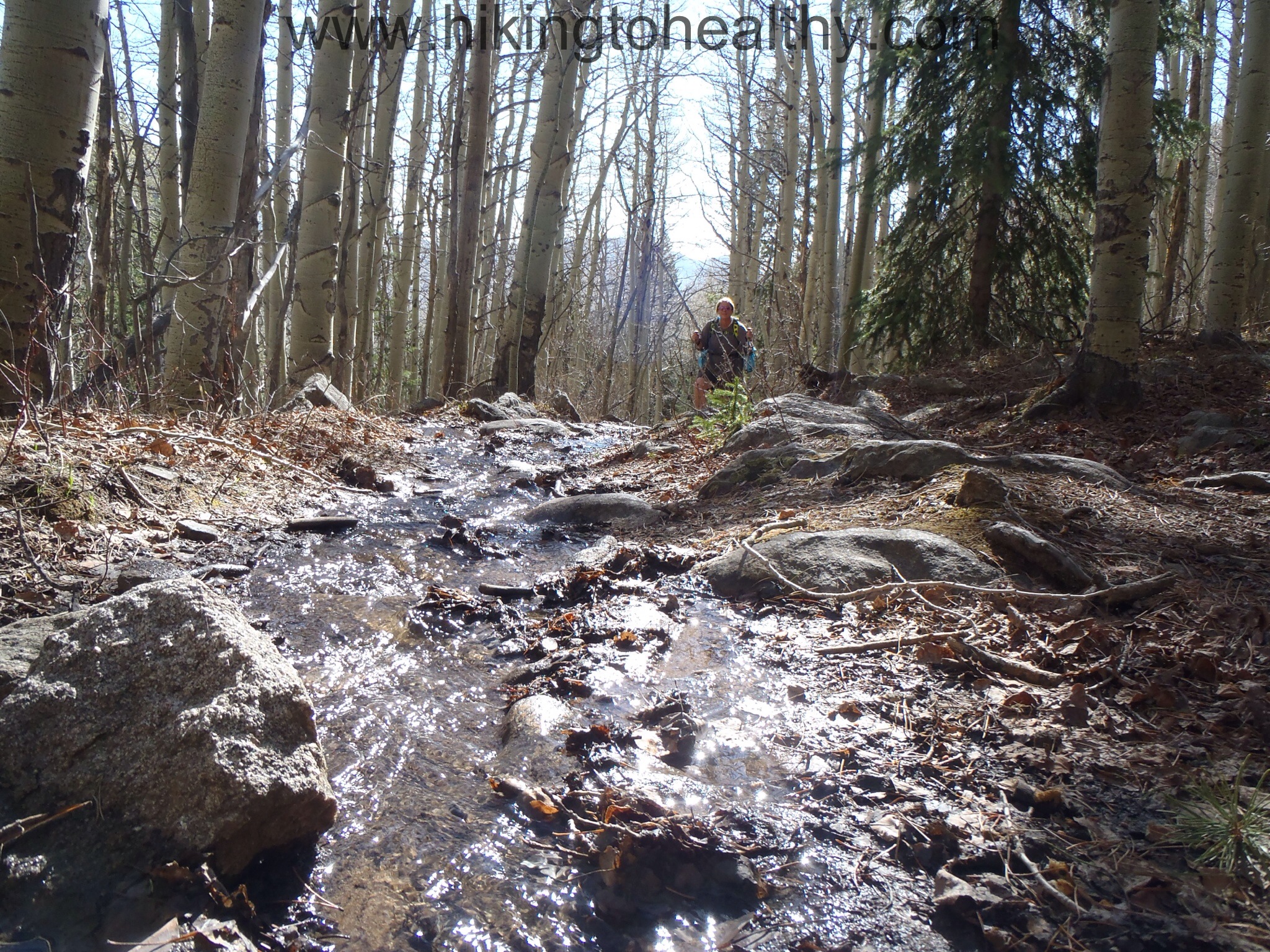
Ahh how we are gluttons for punishment! This past week was another perfect, warm week in Denver and as a result we convinced ourselves that we would try Ben Tyler ( Hike Details here) this weekend in hopes the snow was manageable enough to make it to the top. I cannot tell you how desperate I am getting to see the top of this hike and so the hike started out almost perfect plus we heard other hikers talk about the peak as if it was clear. We started up the switchbacks pretty optimistic and as we took in the view around the 2nd or 3rd traverse we started to wonder….
Optimistic start….but I spy snow
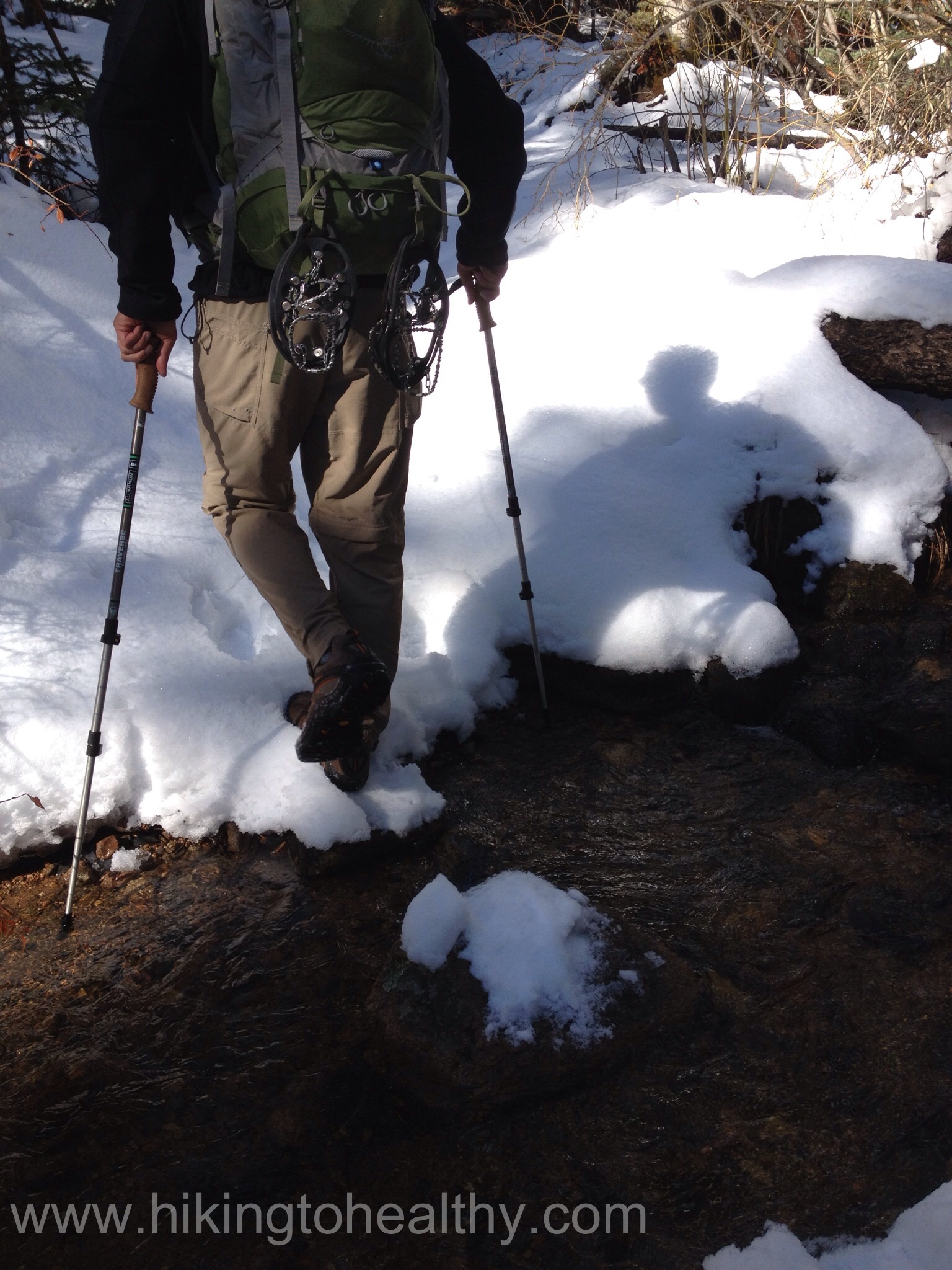
We were making great time and so far the snow was nowhere to be seen even as we crossed the creek the first time:
2 weeks ago snow was all around this crossing
When the trail turned into a creek on its own, we were pretty psyched because we were certain it meant the top was ours this time. Not to mention that at this point 2 weeks ago we were almost up to our knees in snow.
This is actually the trail with our own little creek occasionally
We didn’t even see our first patch of snow until we got to the point we turned around just 2 weeks ago, we were crazy excited we were moving at a good pace seeing beautiful sites and reaching the end of the of the Aspen grove. That meant we were getting really close to the last stretch of trail before the top.
When we first started, we were soundly passed by that group of hikers talking about conditions at the top. It was probably about a mile after our turnaround point last time that we ran back into them….coming down….dejected, ugh! Their words, huge wall of snow blocking the trail about 20 minutes up the trail. This group was lovely and gave great advice, one of the gentleman said he had never seen it this bad this late in the year and he had been hiking here for years! We got to their turnaround point and did something I am completely against….we went off trail. We didn’t get far but far enough to realize that we were chasing a dream at this point. After a valiant effort we threw in the towel again, not before I took an epic fall that made the most beautiful colors on my calf and left butt cheek, mostly my left cheek. When I slipped and fell on the rock hiding under the snow my leg actually went immediately numb for about 30 seconds, I knew it was a bad sign. It kept waking me up last night when I tried turning over but didn’t stop our hike today so I will chalk it up to just a bad fall with a deep tissue bruise as a result.
The best part of Colorado this time of the year was that it was in the 50’s the whole time and we were in shorts, shorts and gators eventually but mostly shorts. I am becoming more sure every day that we are living in Heaven on earth. Before I put up our favorite pictures from the hike, does any one know what kind of bird this is? It was pretty flirty with us and posing like crazy:
What kind of bird is this, anyone?
Fingers crossed that next time we see Kenosha pass.
It was hard to resist not trying harder… the view of where we are trying to goshorts n gatorsUgh 3+ ft of unstable snow….Pretty Cactus Flowers
I am thrilled that this week was finally one with a loss!!!!
It was a weird week in that I had to take it easy on in terms of working out, I have been battling with an ingrown toenail(super yuck!) for quite a while and last week while on St. Vrain Mt. trail I really aggravated it. It was getting so close to better too. What I could do was really scaled down then my usual week of working out, I wanted it to heal as much as possible before our hike today. Let’s be honest I will always do whatever I can to make sure I don’t miss a chance to hike!
The other thing I did was eat less processed food, so far I have been doing a lot of Lean cuisine for meals and other stuff to get by. This week was a lot more stuff I made or picked up from somewhere I could get the calories on to help me stay within my daily calorie allowance.
It paid off nicely, although I will not be skipping workouts again because I felt the difference in how well I hiked today but I did stock up on a lot more things for me to make from scratch and freeze to try a couple more weeks of changing up my diet. I am sure it will help but I am also sure I will miss the convenience of those lean cuisines and Smart ones!
It was a beautiful and warm week in Denver which made me extra look forward to hiking this weekend, since it is a long weekend we are going to do 2 hikes today is already done and we have another one planned for tomorrow. I love long weekends!
I will leave with a picture of Nugget, he isn’t much of a cuddlier and so I let him get away with a lot when I can get him to sit on my lap, in this case sacrificing the ties on my hoodie sweatshirt….. I am such a sucker for him.
Last week was a perfect week here in Denver, very warm and sunny with the mountains taunting us all week with their insane beauty. We really wanted to climb up high and see it for ourselves up close, I know it was our naiveté but we made the decision to try another high hike above 10,000 feet and one that was on the edge of Rocky Mountain National Park which got twice as much snow as the Continental Divide. I have been wanting to hike St. Vrain Mountain since last fall and by the time I had the confidence to even think about trying it, winter had settled in. This was the hike we decided to try on Saturday. We talked about it all week and so were extra anxious to get started but nervous we wouldn’t get very far.
We were right to be nervous, it took us almost 2 hours to go just 1.2 miles and the last time I post-holed it was pretty bad, up to my hips and it took me like 20 minutes to get out…. What we did see was amazingly beautiful and just got us excited for when we could actually finish it. In that 20 minutes of digging me out, we decided that the only way to salvage the day was to get down as quickly as we could and hit Hall Ranch (Hike Details here) which we had passed on the way up to this hike.
Here is the little bit we caught of what we could see of this trail:
We rushed to the Hall Ranch trailhead deciding to just do as much of the Nighthawk trial as we could and we were kind of excited because the first time we were here it was in the middle of a snow storm so all of our promised views were obscured.
We started at noon and finished at 3:30, the trail had a surprisingly low volume of other hikers. Which was nice in that it allowed us to cruise up the trail, I think this is the fastest we have ever hiked. The wild flowers were amazing and the weather was perfect in that is was cool little cloudy but warm enough for us to wear shorts and short-sleeved shirts!
When we got to the top this time the views of Longs Peak, Mt. Meeker & Rocky Mountain National Park were really amazing. Actually the views all around were amazing. South, East and North all had different stunning views to offer more than I had hoped for to be honest.
Best view at the topLongs Peak & Meeker
In the end we made it exactly to the trail break of NightHawk ( 4.7 miles) and then turned around and headed back. The whole day of hiking gave us a total hiking of 12 miles with 2300 total feet of elevation gain it was sadly 7 hours of hiking with a 30 minute gap to drive from one trail head to the other. At first it was a little disappointing to have to turnaround on the first trail, but if I think about where I was 2 years ago or even last year, I never would have made it through one of these trails let alone stopping one after 3.5 hours only to do another one for 3.5 hours. It felt pretty awesome!
Eastward view about halfway back down
We decided it was a pretty huge win and so celebrated with lunch/dinner at Oskar Blues Grill & Brew.
Here are some of our favorite pictures from the hike!
no change… which I guess means I need to change, right!?!?!?
The one thing I do have to say is that I am definitely getting smaller even if I am not losing weight, maybe I need to finally do some measurements. I hate measuring but I need to change-up something to stay motivated! Stay tuned….
That said, todays hike was all over the place, I am trying to figure out how to get it all down but it was good, then bad then good….and finally good.
When we kind of stubbornly decided we were going to do Ben Tyler Trail (hike details here) this weekend, I knew deep down there was no way in hell we would make it to the top……. AGAIN. It is really close to Kenosha Pass and one of the areas that probably got 4-5 feet of snow over the last month and then this week we had rain all week which meant snow storms up high, but still we got up insanely early and headed out to this trail.
A little closer the curve of the mountain to the middle right is where we are trying to get to.
At the beginning of the hike we were really optimistic, the trail conditions were straight up awesome and the weather was perfect. I mean check out that sky, have you ever seen a more perfect color blue!
No gators yet
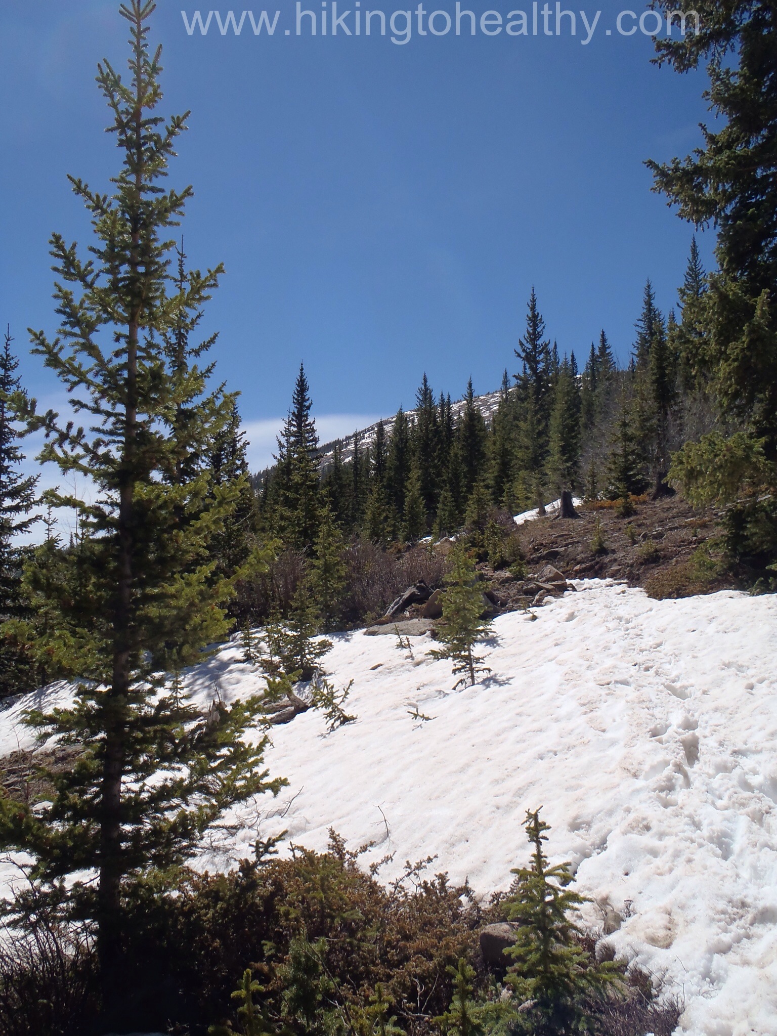
About a mile or so in, the snow really was taking over and we were trying to not comment about how deep it was starting to get. There was only one other set of foot prints in front of us and honestly we were really hoping it was someone who had made it to the top. We saw him jogging down not long before we crossed the stream for the first time and we were so excited he was actually there today (and not the day before) that we forgot to ask how far up he made it.
Crossing the creek
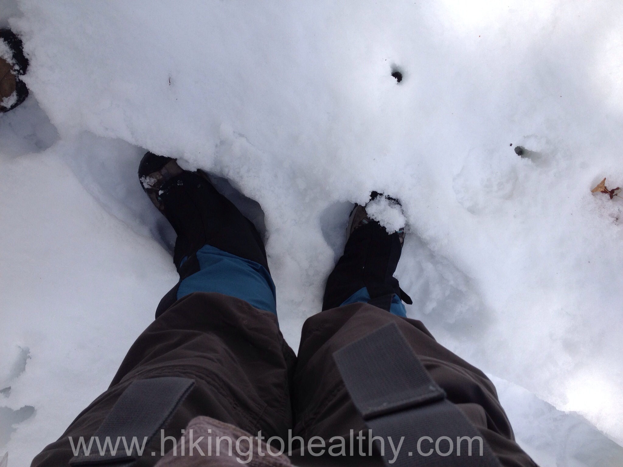
It wasn’t too far after this that we saw where the runner turned around, headed back and then we realized that it was time for gators. I picked up some new ones at a great price and I am so glad they arrived before this hike because I needed them today.
Gator timeSnow is getting higherAt least the views made the snow not such a big deal
We honestly didn’t take that many pictures and when we did, these are all with my iPhone or our Olympus tough camera not our canon, but the day was so beautiful I think it would have been hard to take a bad picture.
iPhone – Aaron’s favorite from the hike
After we saw where the runner turned around, it was just us blazing the trail through the snow. Which we love but man was it a workout, first a foot, then 2 and 3 when finally we got to the trail marker around 10,000 feet up.
We were huffing and puffing all through here still feeling good so we continued forward although we knew that it was unlikely we could get all that much further. It was actually getting warmer, the snow was getting deeper and more unstable yet we still had hope that we might make it up a little higher or that the snow would be a little less but finally we had to admit….the snow was too much.
Before we took these pictures, Aaron slid down almost to his waist, for like a second we wanted to try to go further and try too hard to make it to the top. But the clouds were really moving in and the reality that the snow was not going down at all hit us. We turned around and started heading back, as I have begun to learn going down is not as easy as I once thought it was, the temperature had started raising and the snow was melting pretty quickly. Only from the bottom up or so it seemed, the stress to our knees was intense.
the way back is not so great
The hardest part of heading down before we wanted too, was that the clouds almost disappeared and the sky turned this intense amazing blue that made us wish we hadn’t turned around ( even though it was the right decision) because the views on a day like yesterday would have been unbelievable. I cannot wait to make it to the top one day and we will!
Seriously blue with my iPhone no less
I feel like I had never seen this color blue in nature until I moved here and now I cannot get enough.
In the end we managed to get to a little over 8 miles of hiking with a total elevation gain of 1700ft but it took us 5 hours round trip. One stupid feeling of awesomeness hit us on the way back, there was another pair of foot prints in the snow that suddenly appeared but they turned around at least half a mile or more before we did. We got to the parking lot as they were finishing up their de-clothing post hike ritual, 2 guys younger and in better shape than us the look on their faces when they realized we went further than them was priceless. We could almost read their lips “like seriously they beat us”, it felt crazy great!
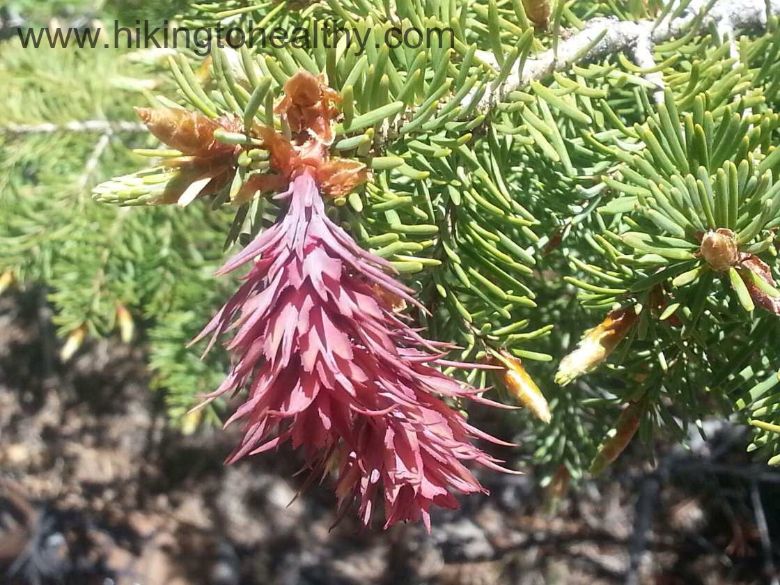
We just loved the views too much and our favorite pictures got out of control so forgive me.