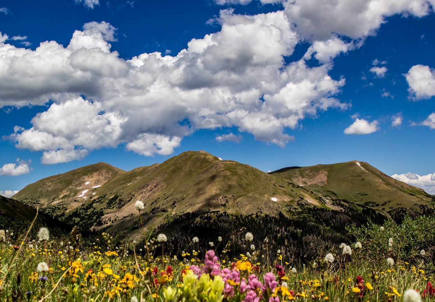
Mason Creek Trail> Border Line Trail> Staunton Ranch Trail Starting Elevation: 8197 ft Highest Elevation: 9450 Ft ( Almost 1600 ft total with a little up and down from Mason Creek to Border Line) Trail Length: 10.6 miles officially and my fitbit was pretty close with right around 11 miles Trail Uses: Hiker, Biker, HorsesContinue reading “Mason Creek at Staunton State Park, Conifer CO hiked 4/12/14”
Category Archives: Conifer
Spring Break hiking 3/1- 3/6/14 All Repeaters
When my nieces came to visit me last year, their one request was more hiking. I honestly had no idea they would like it as much as they did. I wanted to get them out as much as possible while still giving them a break from school. I had grand plans, hike 3/1, snowshoe 3/2,Continue reading “Spring Break hiking 3/1- 3/6/14 All Repeaters”
Mills Lake via Galcier Gorge RMNP Snowshoed 2/8/14
I know I usually start with all the details of a new hike but this snowshoe was not what I expected, instead it was everything I could have hoped for and more. Because of that I have no hard facts and no path to tell you to follow but I can tell you I amContinue reading “Mills Lake via Galcier Gorge RMNP Snowshoed 2/8/14”
Weigh in Day 2/7/14 -1LB, 53.8 LBS down – 36.2 left to go.
Yay! My first loss of the new year… that seems a little shameful since we are 6 weeks in but I am ok with it. I traveled in that time and gave up diet coke and now I finally feel like I am back in a groove. Working out has felt really great each dayContinue reading “Weigh in Day 2/7/14 -1LB, 53.8 LBS down – 36.2 left to go.”
Mason Creek Trail – Staunton State Park, Conifer CO Hiked 2/1/14
Mason Creek Trail Lowest Elevation: 8200 ish feet Highest Elevation: 9300 isn feet( Total Elevation gain 1100Ft) Trail Length: we were shooting for 7-9 miles, what we got was 6 miles round trip. Trail Uses: Hiker, Biker, Horses and in winter snow shoe and cross country skiing Degree of difficulty: Moderate Fees: $7 a day ORContinue reading “Mason Creek Trail – Staunton State Park, Conifer CO Hiked 2/1/14”
Pine Valley Ranch to Buck Gulch, Pine CO hiked 11/30/13
Pine Lake >Buck Gulch>Skipper Trail> Strawberry Jack Trail> Park VIew Trail Lowest Elevation: 6800Ft Highest Elevation: 7900 Ft( although total elevation gain was closer to 1300+ Ft) Trail Length: 7-8 miles, it took us under 3 hours to complete Trail Uses: Hiker, Biker & Horses Degree of difficulty: Easy to moderate Fees: None Bathrooms: AtContinue reading “Pine Valley Ranch to Buck Gulch, Pine CO hiked 11/30/13”
Staunton State Park, Conifer CO Hiked 11/23/13
Staunton Ranch > Scout Line> Marmot Passage>Bugling Elk> Stauton Ranch Lowest Elevation: 8120 Ft Highest Elevation: 9240 Ft ( I think total we got around 1800+ ft of elevation gain with the ups and downs) Trail Length: Roughly 10 miles Trail Uses: Most of the trails were hiking, biking & Horses Scout Line is hikingContinue reading “Staunton State Park, Conifer CO Hiked 11/23/13”
