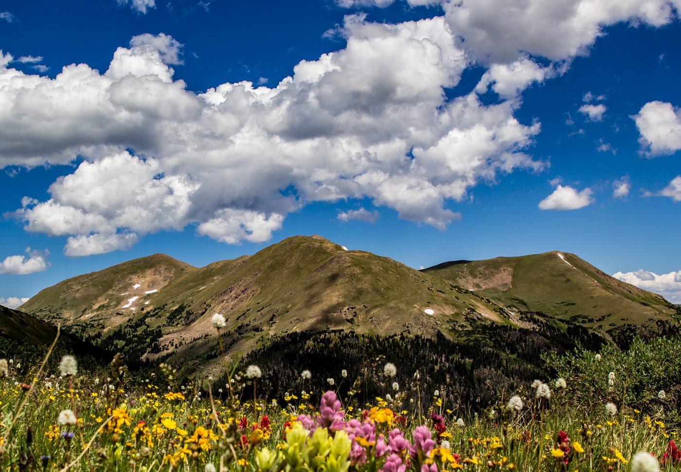
Mason Creek Trail> Border Line Trail> Staunton Ranch Trail Starting Elevation: 8197 ft Highest Elevation: 9450 Ft ( Almost 1600 ft total with a little up and down from Mason Creek to Border Line) Trail Length: 10.6 miles officially and my fitbit was pretty close with right around 11 miles Trail Uses: Hiker, Biker, HorsesContinue reading “Mason Creek at Staunton State Park, Conifer CO hiked 4/12/14”
Category Archives: Pine CO
Pine Valley Ranch to Buck Gulch, Pine CO hiked 11/30/13
Pine Lake >Buck Gulch>Skipper Trail> Strawberry Jack Trail> Park VIew Trail Lowest Elevation: 6800Ft Highest Elevation: 7900 Ft( although total elevation gain was closer to 1300+ Ft) Trail Length: 7-8 miles, it took us under 3 hours to complete Trail Uses: Hiker, Biker & Horses Degree of difficulty: Easy to moderate Fees: None Bathrooms: AtContinue reading “Pine Valley Ranch to Buck Gulch, Pine CO hiked 11/30/13”
