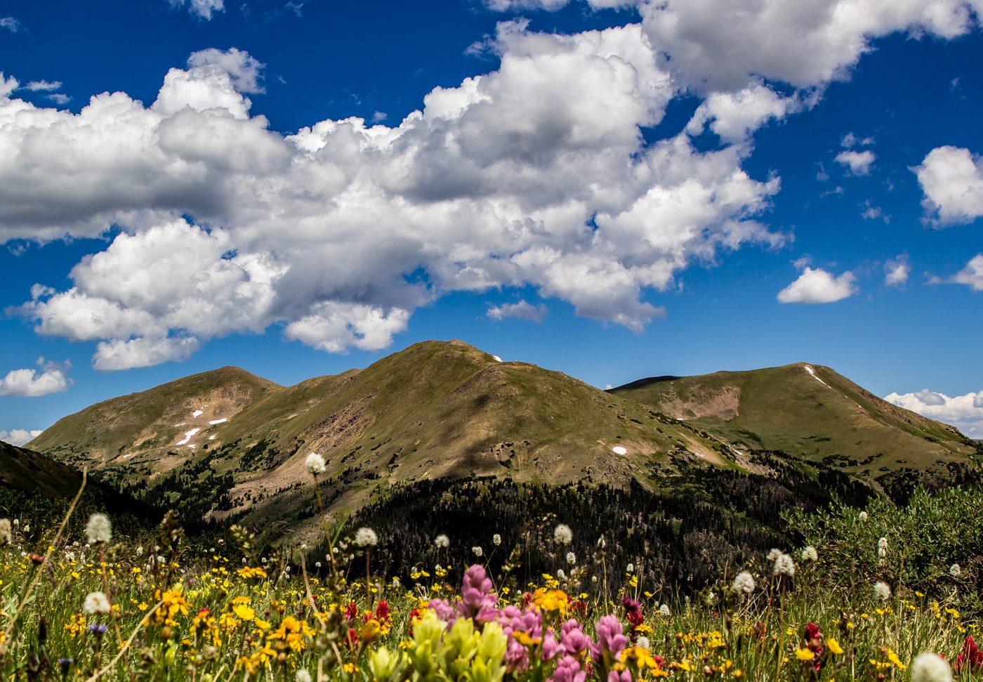
Starting Elevation: 8930 Ft Highest Elevation: 10,013 Ft ( A total Elevation gain of almost 1100 Ft) Trail Length: 6 miles – it took us 3ish hours but we did spend a lot of time on the summit. Trail Uses: Hiker & Horses ( but no horses allowed on the Summit spur) Degree of Difficulty: ModerateContinue reading “Deer Mountain, RMNP Estes Park CO, Hiked 7/19/14”
Category Archives: Estes Park
TrailRidge Road Hike/Snowshoe RMNP, Estes Park CO hiked 4/5/14
There is a Facebook Page called Enjoy Estes Park and every Thursday they run a contest for an all expenses paid trip to Estes Park, free lodging, free meals, Free beer and wine, free snacks throughout the day, free rental of sporting goods and they even gave us money to spend in some of the storesContinue reading “TrailRidge Road Hike/Snowshoe RMNP, Estes Park CO hiked 4/5/14”
Trail Ridge Road, Rocky Mountain National Park( RMNP)- Estes Park CO- Snowshoed 3/22/14
Starting Elevation: somewhere in the mid 9000’s Highest Elevation: A little over 10,000 Ft- our watch that gives us the elevation is no longer working so this is a guestimate. Trail Uses: Snowshoeing and Cross Country Skiing Winter only trail as it is an actual road in summer. Trail Length: 5.5 miles Round trip butContinue reading “Trail Ridge Road, Rocky Mountain National Park( RMNP)- Estes Park CO- Snowshoed 3/22/14”
Nymph, Dream & Emerald Lakes – RMNP – Estes CO, Snowshoed 3/15/14
Nymph Lake > Dream Lake > Emerald Lake Starting Elevation: 9400 ft Highest Elevation: 10,100 ft Trail Uses: hiking, snowshoe, cross-country skiing, hike in ski out…. anything with skis…. Trail Length: Officially 3.8 miles, we walked around Emerald and Nymph lakes a lot so we got around 4.5 miles for the day… it took usContinue reading “Nymph, Dream & Emerald Lakes – RMNP – Estes CO, Snowshoed 3/15/14”
Mills Lake via Galcier Gorge RMNP Snowshoed 2/8/14
I know I usually start with all the details of a new hike but this snowshoe was not what I expected, instead it was everything I could have hoped for and more. Because of that I have no hard facts and no path to tell you to follow but I can tell you I amContinue reading “Mills Lake via Galcier Gorge RMNP Snowshoed 2/8/14”
Cow Creek Trails Via Gem Lake, Estes Park CO Hiked 11/16/13
Gem Lake Trail> Cow Creek TrailHead Starting Elevation: 7882 Ft Highest elevation: 8830 Ft Trail Length: Officially we did 9.2 miles around trip, my Fitbit said we did close to 11 miles ( it took us approximately 5.5 hours) Trail Uses: Hiker only Degree of difficulty: I consider Gem Lake Moderate, after the floods IContinue reading “Cow Creek Trails Via Gem Lake, Estes Park CO Hiked 11/16/13”
Twin Sisters Trail, Estes Park/Rocky Mountain National Park *Repeater* 6/8/13
Last week when I was hiking with my girlfriends, we were admiring Twin Sisters (Hike details here) at all of our different amazing view spots. I think it took me 3 looks to realize that there was not all that much snow showing at the summit and by the end of that hike I knew thisContinue reading “Twin Sisters Trail, Estes Park/Rocky Mountain National Park *Repeater* 6/8/13”
Gem Lake, Estes Park CO; a repeater & the first Girlfriend hike – 6/2/13
One of the best parts of moving to Colorado so far has been the amazing friends I have made! These friends have been a great source of motivation, information and comfort for me. Because of them I seen such beautiful parts of the state that I may never have adventured too if not for theirContinue reading “Gem Lake, Estes Park CO; a repeater & the first Girlfriend hike – 6/2/13”
Gem Lake -Rocky Mountain National Park, Estes CO 3/6/13 ( Spring Break Hike #2)
Gem Lake Trail Starting Elevation: 7882 Ft Highest Elevation: 8830 Ft ( Total elevation gain 948 ft) Trail Length: According to the map it is 1.8 miles one way to the lake for a total of 3.6. We did a lot of walking around taking pictures so in the end we had a little overContinue reading “Gem Lake -Rocky Mountain National Park, Estes CO 3/6/13 ( Spring Break Hike #2)”
Lion Gulch -Homestead Meadows, Lyons, CO 2/17/13
Lion Gulch #949 > Griffith Homestead #979-2> Homestead Meadow Loop #971 > forest Road 120 Lowest Elevation: 7300 Ft Highest Elevation: 8700Ft ( according to the Nike GSP watch Aaron wears) We think we had a total gain of 2000 ft with the ups and downs. Trail Length: The route we took got us 10Continue reading “Lion Gulch -Homestead Meadows, Lyons, CO 2/17/13”
