

Starting Elevation: 11,000Ft
Highest Elevation: 11,700 Ft ( total elevation gain was around 1800 ft.)
Trail Length: Officially I thought 4.8 miles…8.7 miles later I am pretty sure the book was wrong
Trial uses: Hiker, biker & Horses some portions are a 4×4 road
Degree of difficulty: Moderate
Bathrooms: None
Pets: Yes – Although on the path to Squaw Mtn there is a gun range of sorts so keep them on leash.

I won’t lie, I originally picked this as an easy hike to do on a 2 hike weekend. My Colorado Mountain Club book says it is just 4.8 miles round trip, with a total of 1800 feet of elevation gain. But not only was the round trip distance wrong, so was where the trail was supposed to be. When I got back to the car I had to look at the book to make sure it said round trip. It didn’t help that we picked up the trail at the wrong place too. We saw a trail like entrance across from the wrong pull off and just went with it after driving back and forth a couple of times on 103. It turned out this is the fire access road to both mountains any way but it did add 2 miles to our trip, which means had we found the original entrance it still would have been almost 7 miles around trip. I am not sure what has changed in the last 4-5 years but I am pretty sure Squaw mountain didn’t move in that amount of time.

The day itself couldn’t have been more perfect and honestly we didn’t mind the extra mileage as it kinda took us away from the crowds. FYI the Chief Mountain portion is high volume and for very good reason. It is a bit of climb in just a mile and half( if you hit the correct starting point) since we started a bit higher and further away, our climb was spaced out a bit. But for a 3 mile hike( 4.5 miles if you start where we did), you cannot beat the views.

Once you get to the actual Chief Mtn trail, the trail itself is steep but not too steep and you have some coverage in the trees but that is mostly in the first half of mile. Then it starts to open up. For us, the first mile was on an old fire road so while we were lucky with shade on the way up because of how early we started, then the impending storm on our way back we didn’t have to deal with too much sun that first mile either.

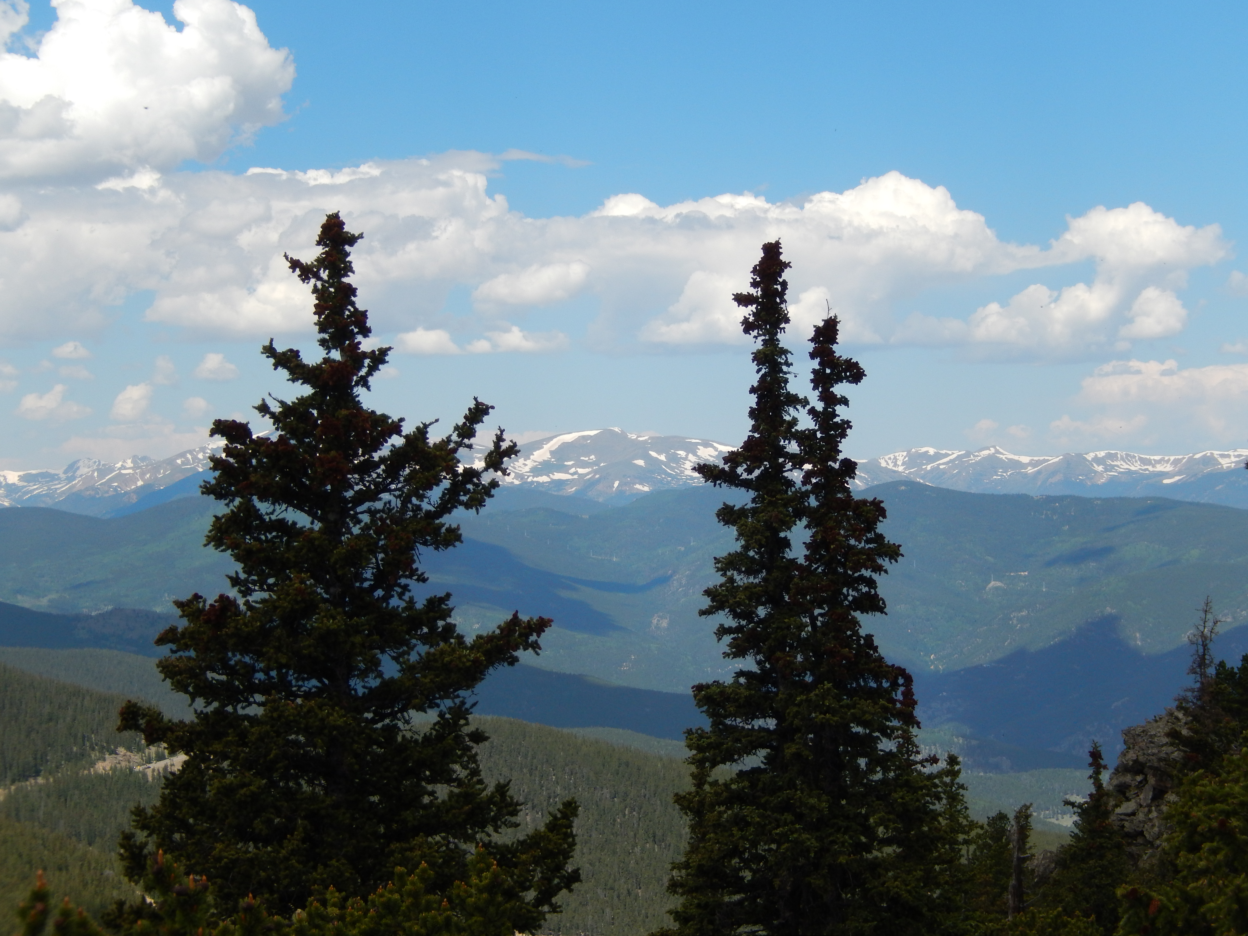
After that though it was all in the sun to the summit. And oh my the views!


Getting to the summit was a little but of a scramble but nothing terrible, it was 360 degree views and as I was looking over at Squaw I was really starting to doubt it what just 1.5 miles to that summit.

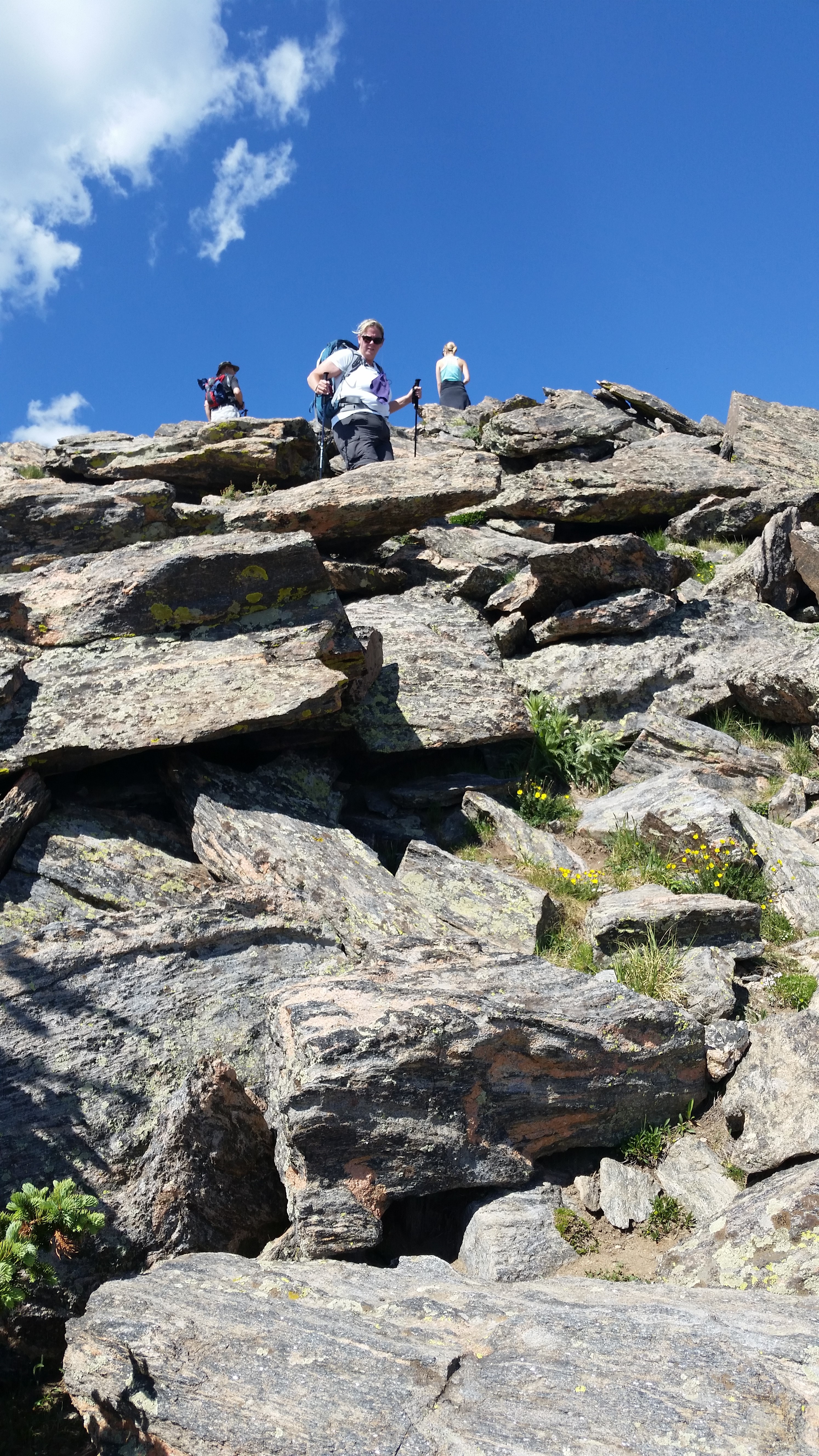

We got down Chief fast even with all the people coming up and us giving way. Once we got back to the fire road, we went to our right to get to Squaw.

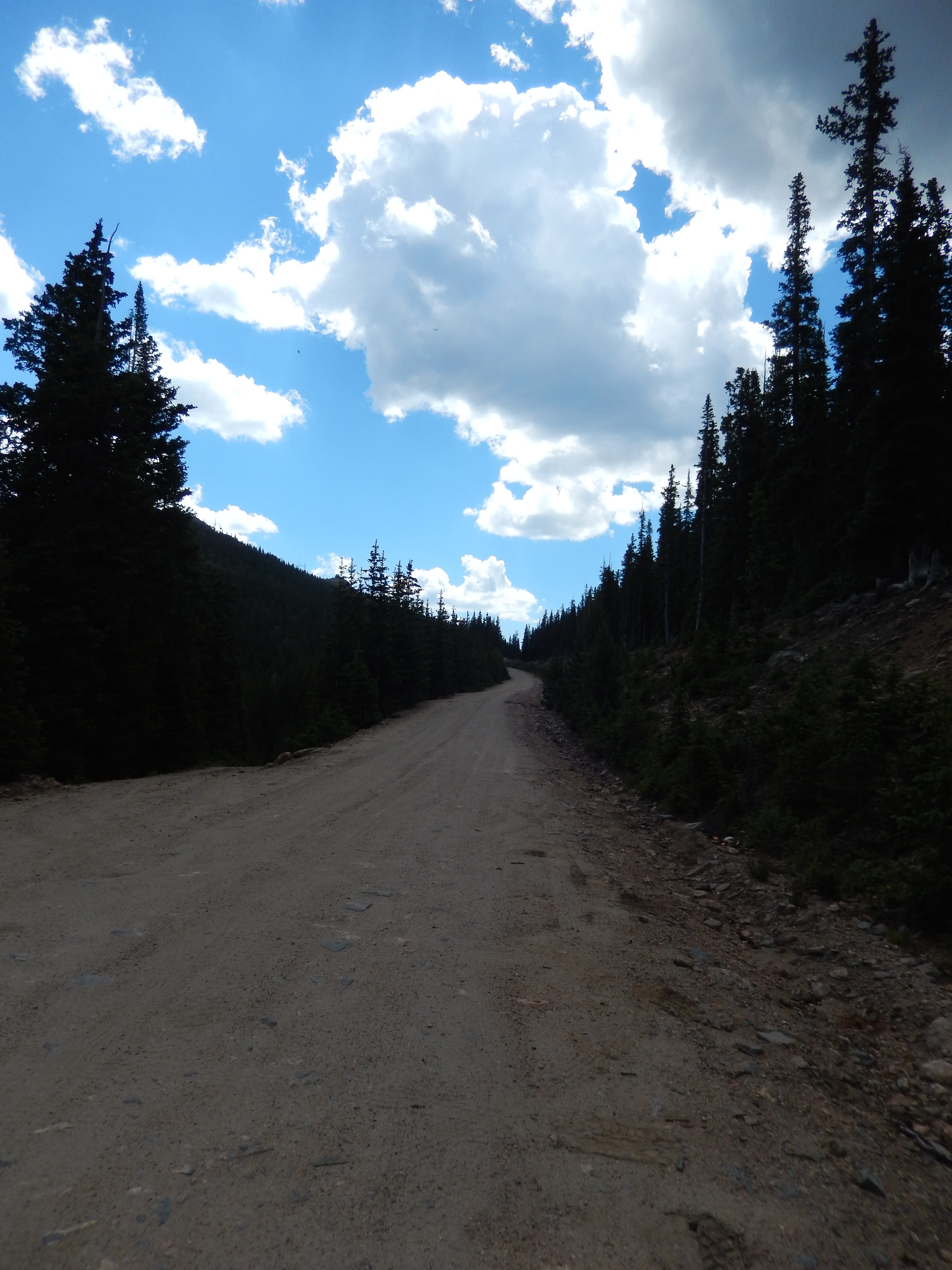
The fire road dead ends right into the Squaw mountain access road which is 4×4 in some places. It was kinda not exciting AND there was some type of gun range not too far up where 5 or 6 people were having lots of target practice. For this reason alone I probably couldn’t recommend you ever bring dogs up this path unless they are trained to be ok around gun fire.

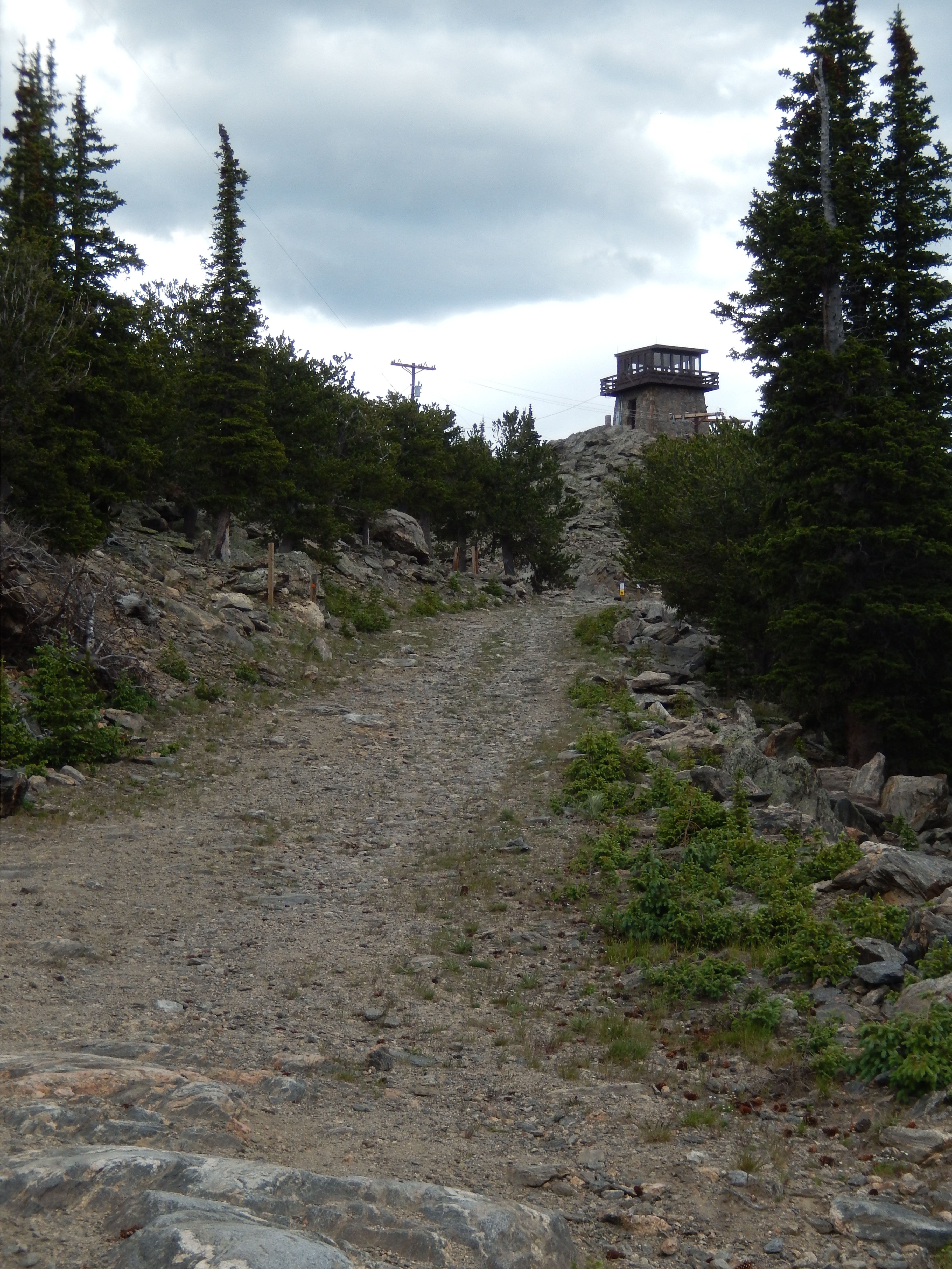
Just up and around the corner from it, there is a gate closing off the road from motor vehicles. There is also a small parking area if you have rented out the old fire watch tower for the night. I have to tell you as a storm was starting to role in, I was thinking how cool it would be to rent out that Fire tower for a night or 2 and enjoy some rocky mountain weather.


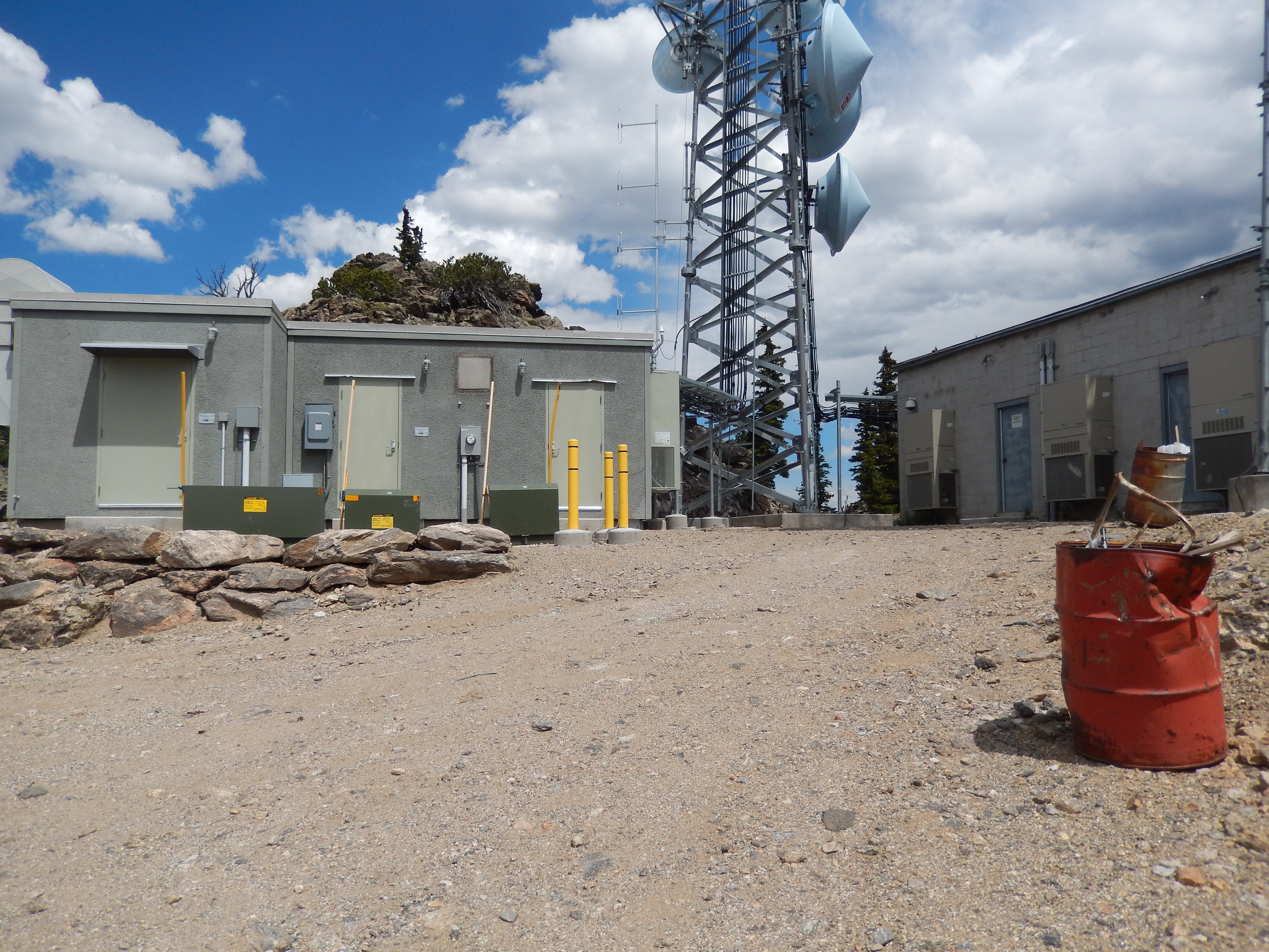
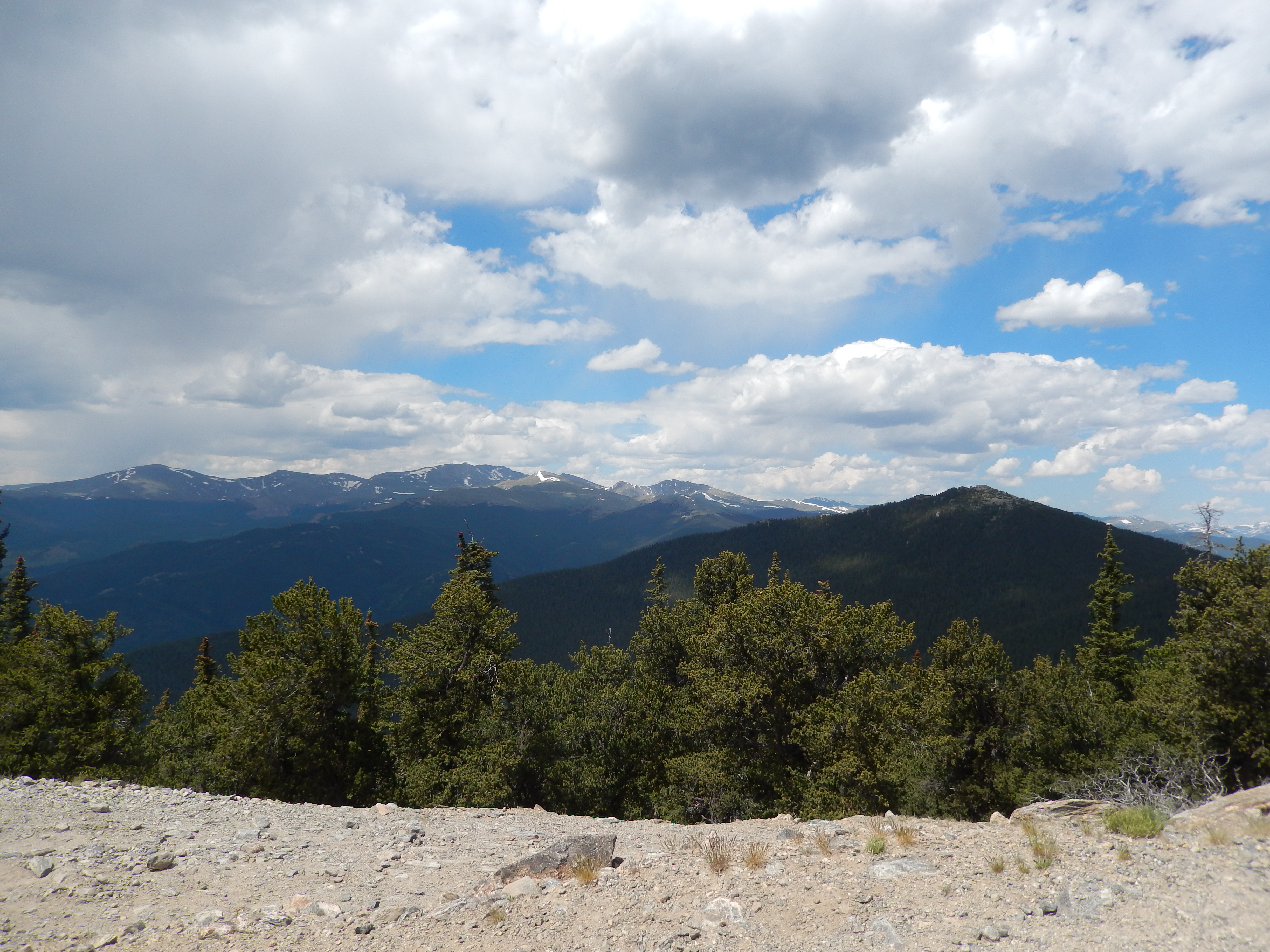
Eventually we got to the top of Squaw and were decidedly underwhelmed… not by the views but by all the industrial towers we went up and around them to see the views but saw the weather coming in and so headed back down. It took us 3.5 miles from the top of Chief to get to the top of Squaw.

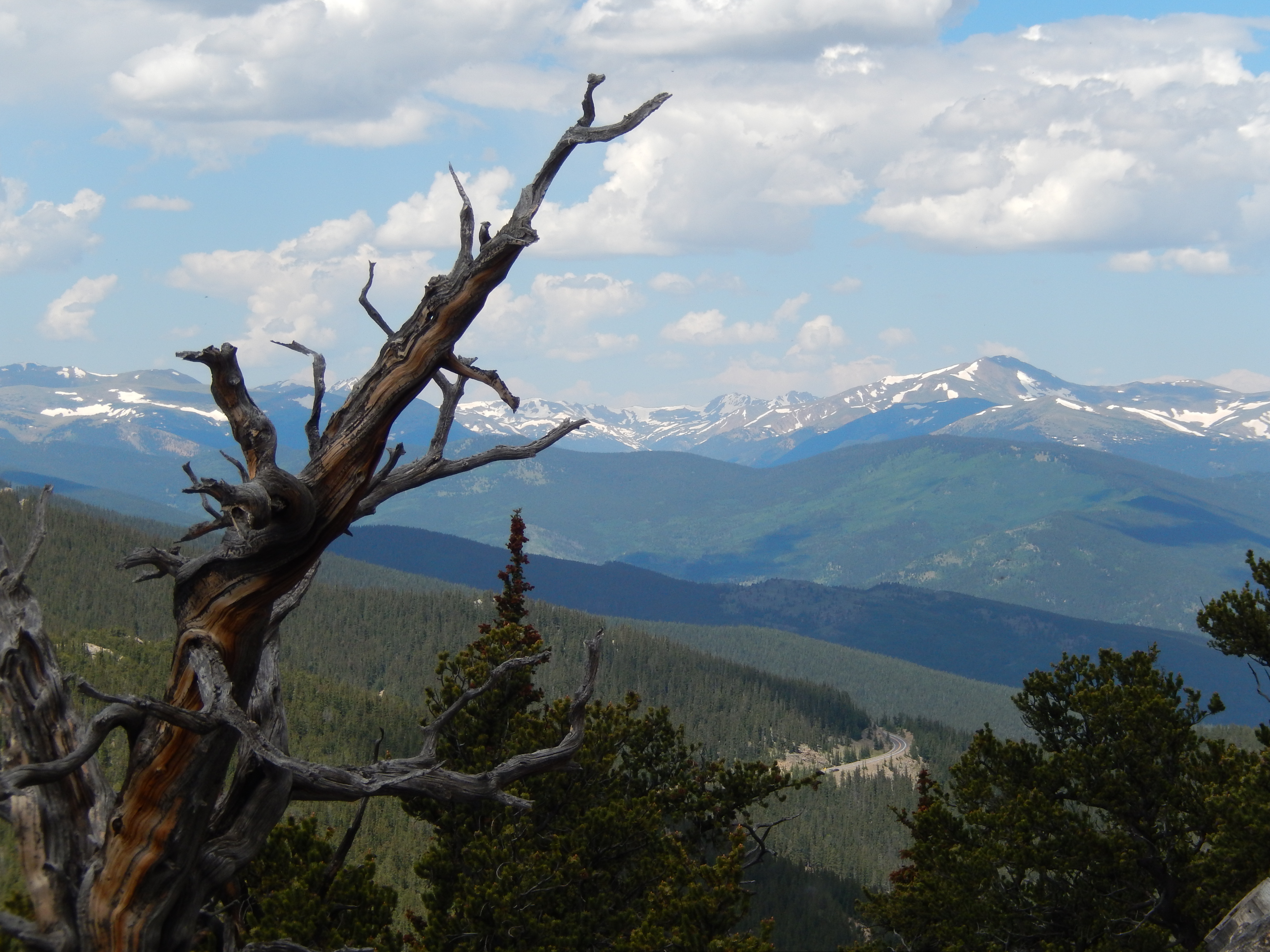
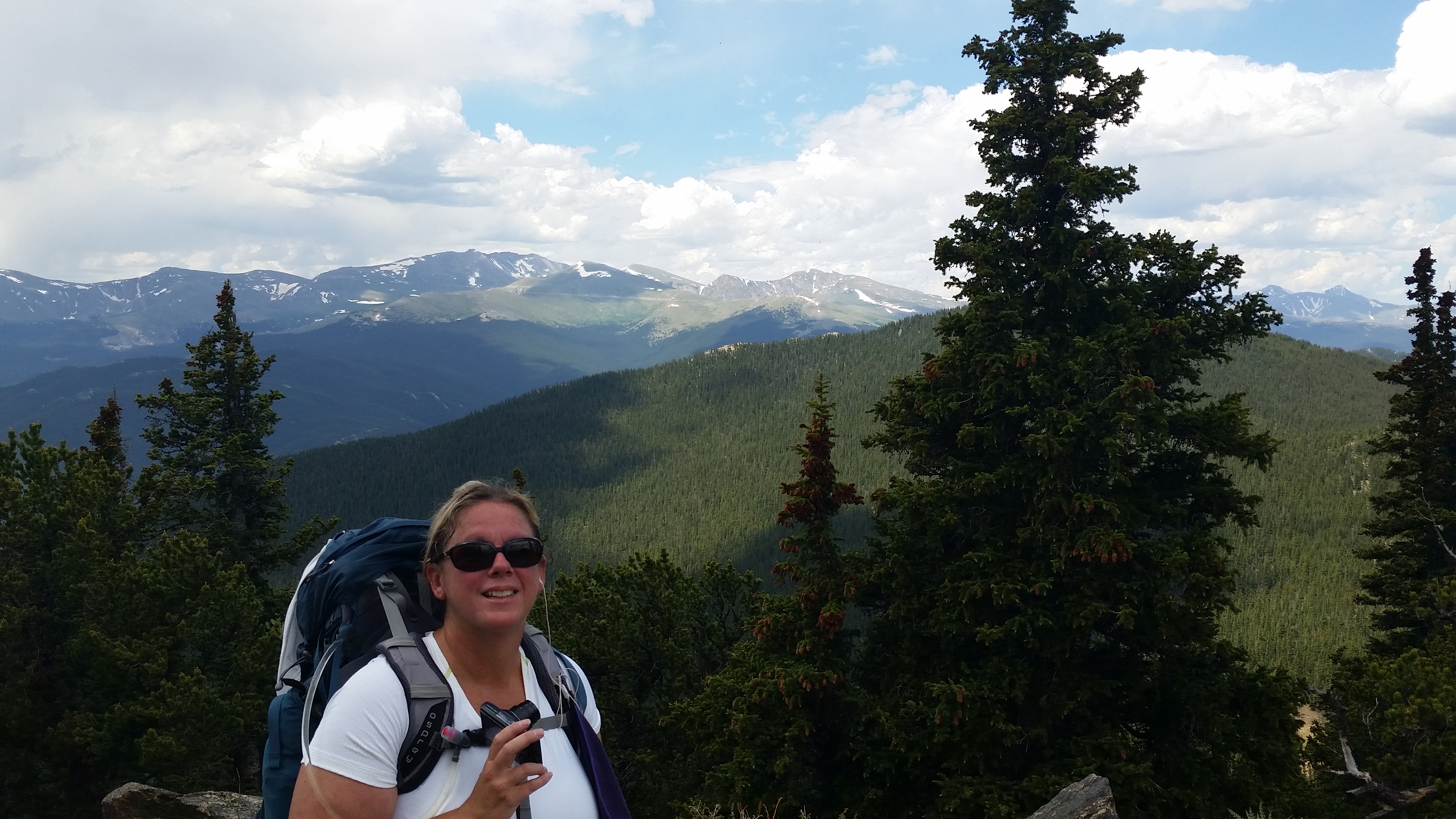
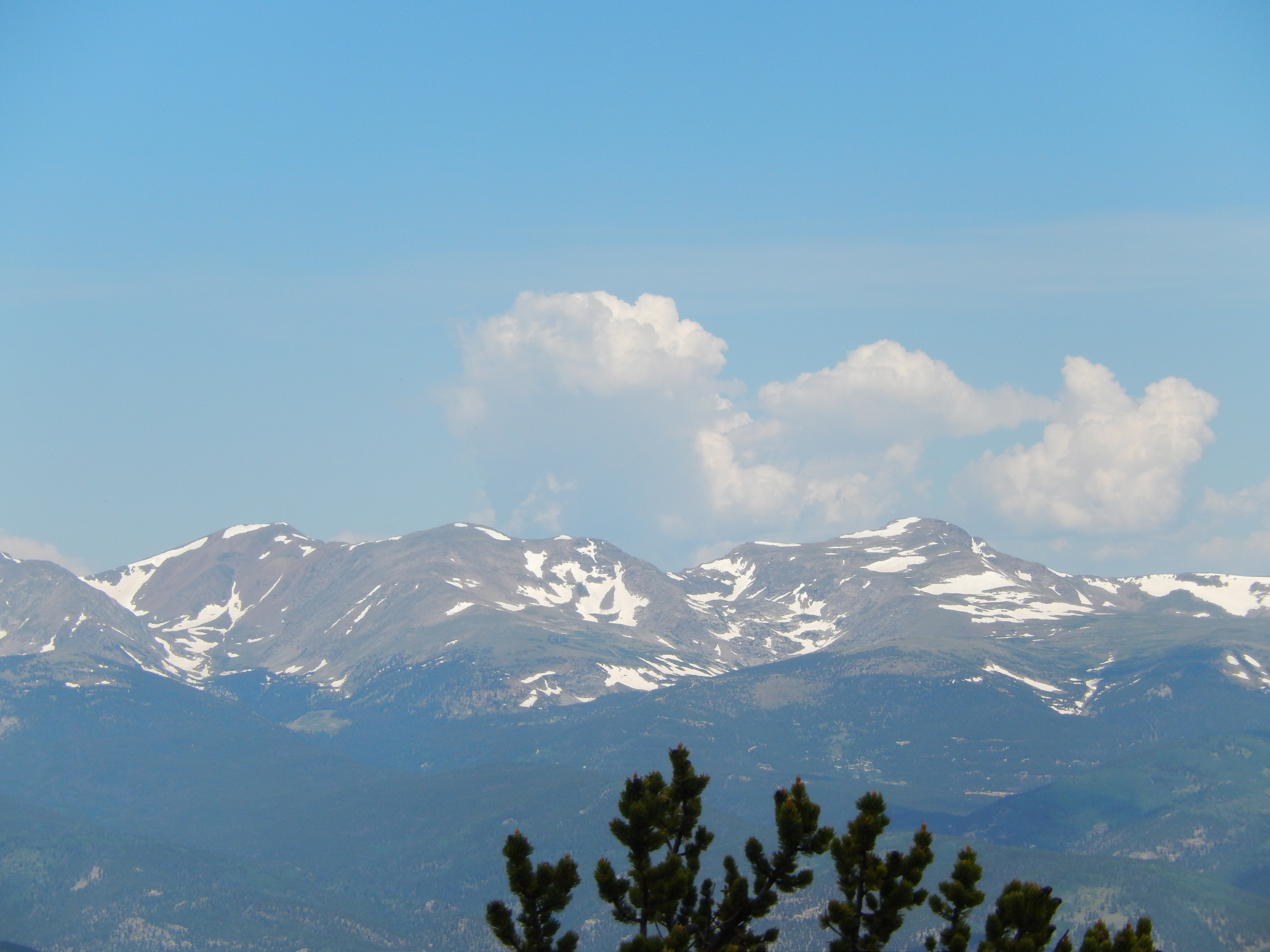
I will tell you that I will only ever do Chief again and have done it once since we did this back in July. I will now always take visitors here because seriously the views are amazing. I never need to see Squaw again unless I decide to rent out the old fire tower. We didn’t bring our good camera with us because we didn’t have high expectations but once we got up to the top of Chief I was so sad that we didn’t! After the directions will be a few of the good pictures we managed to capture before weather moved in.
Directions: From Denver Take I70 west to Evergreen Parkway (Exit 252), go about 3 miles to Squaw Pass Road ( 103). Take it up approximately 12 miles. When you pass Echo Mountain Ski area look for the next pull off the real trailhead is right there.


Lovely views.
Beautiful!!
I’ve never been to the top of Squaw Mountain. We attempted it once but got turned back because of the weather. I was just reading last week that you can now rent out the fire tower and spend the night. I would like to do that sometime. I see it is completely booked until later in the Fall.
I was on Chief when a lovely man was telling me all about it, I have to tell you that now all I want to do is rent it out! Let me know if you score a night or two!
Looking good, Kathy! Way to take on two hikes and crush ’em! Atta girl!!!
LOVE YOU!!!! Thank you!
Those views are awesome – even without the snow!
Have hiked this trail numerous times over the last 15 years and yesterday something happened that destroyed a wonderful day. As my girlfriend and I were just leaving the peak we heard a whizzing sound just a few feet away. It was a bullet whizzing past us. Never in my life would think that would happen. We quickly hiked off the mtn top. On our way down we notified everyone going up. Than another group of hikers told us they had the same experience. I don’t know who is shoting at the trail needs to be arrested.
Holy cow that is very scary! Thanks for the warning, it makes me sad because I really love this particular trail.