
Spruce Mountain Trail> Spruce Mountain Loop> Access Road> Spruce Mountain Trailhead
Starting Elevation: 7127Ft.
Highest Elevation: 7568, for 550 feet elevation gain, but there is some up and down to if you do the loop I think you get closer to 650 ft
Trip Length: Officially 5.5 miles and that is about what my fitbit said too
Trail Uses: Multiuse; hiker, biker and horses
Pets: Dogs allowed on Leash and we did see a sheriff come by at least once to check.
Fees: None
Degree of Difficulty: Easy to slightly moderate
Bathrooms: One well used port-o-potty, keep your own Tp handy it was already out at 11:30AM on a Sunday.
The best part of a long weekend is being able to get in 2 hikes. We were introduced to this hike by my good friend Karin and her husband Doug a few years ago, we went in early spring which was good because there was no one there but not so good in that it was insanely windy and so we avoided the top loop. What a shame that we did because it was spectacular in its almost complete view of the front range and amazing on Sunday.
Let’s talk trail, it is pretty easy to find this trail head and the parking lot has a big beautiful entry sign into the parking lot which is decent size but busy!


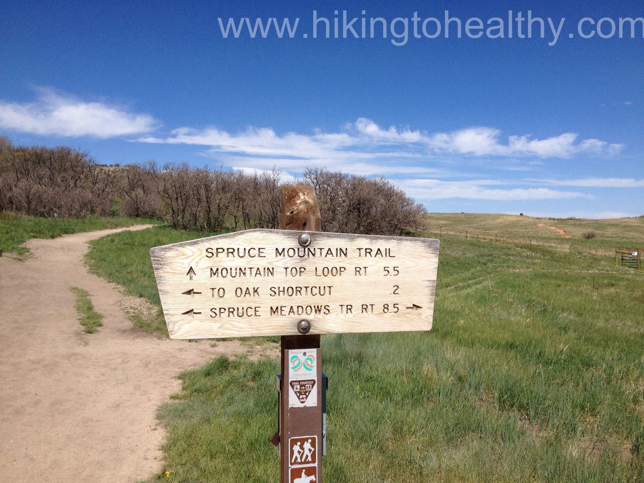
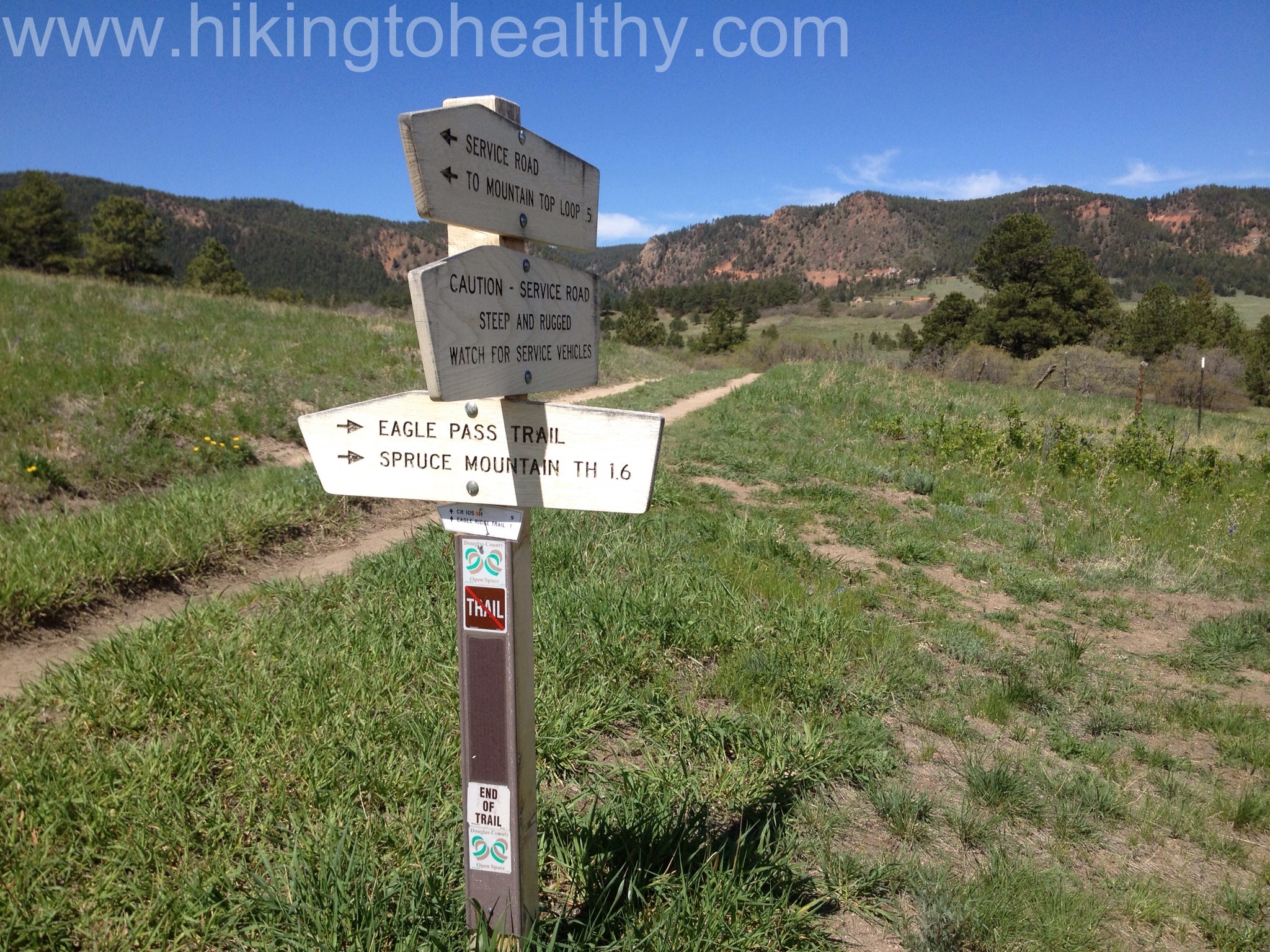
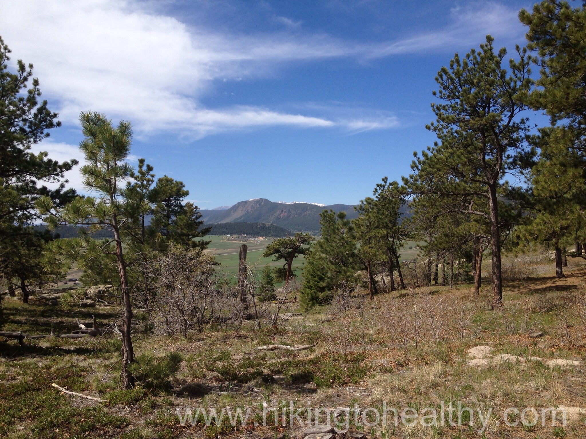
The trail signage is really good here, we did the Spruce Mountain trail which is the route to the left and up from this first marker. It is s nice short climb to the first trial break and there are a bunch scenic views with benches to enjoy them on. It is also a nice place to catch your breath.

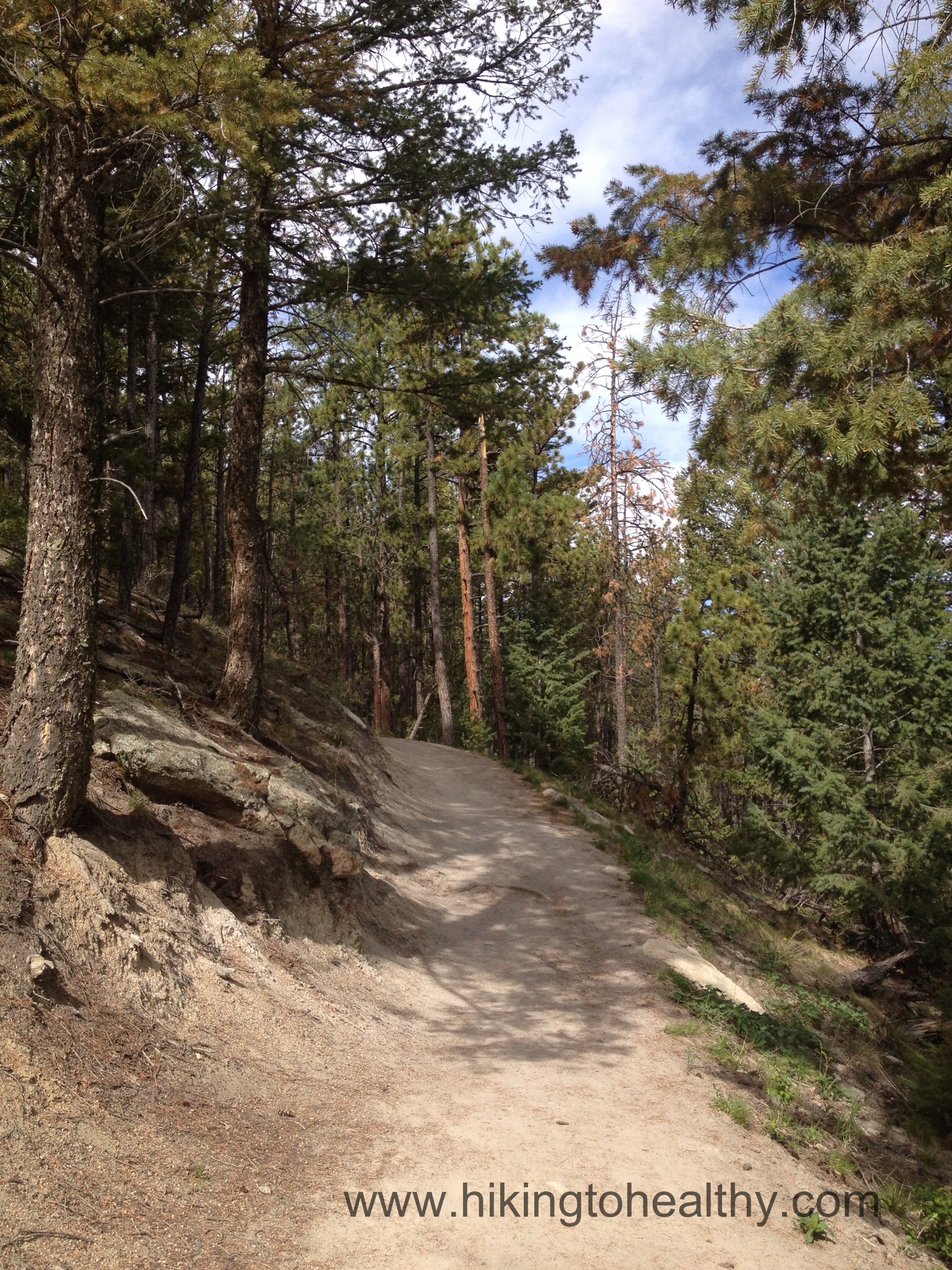
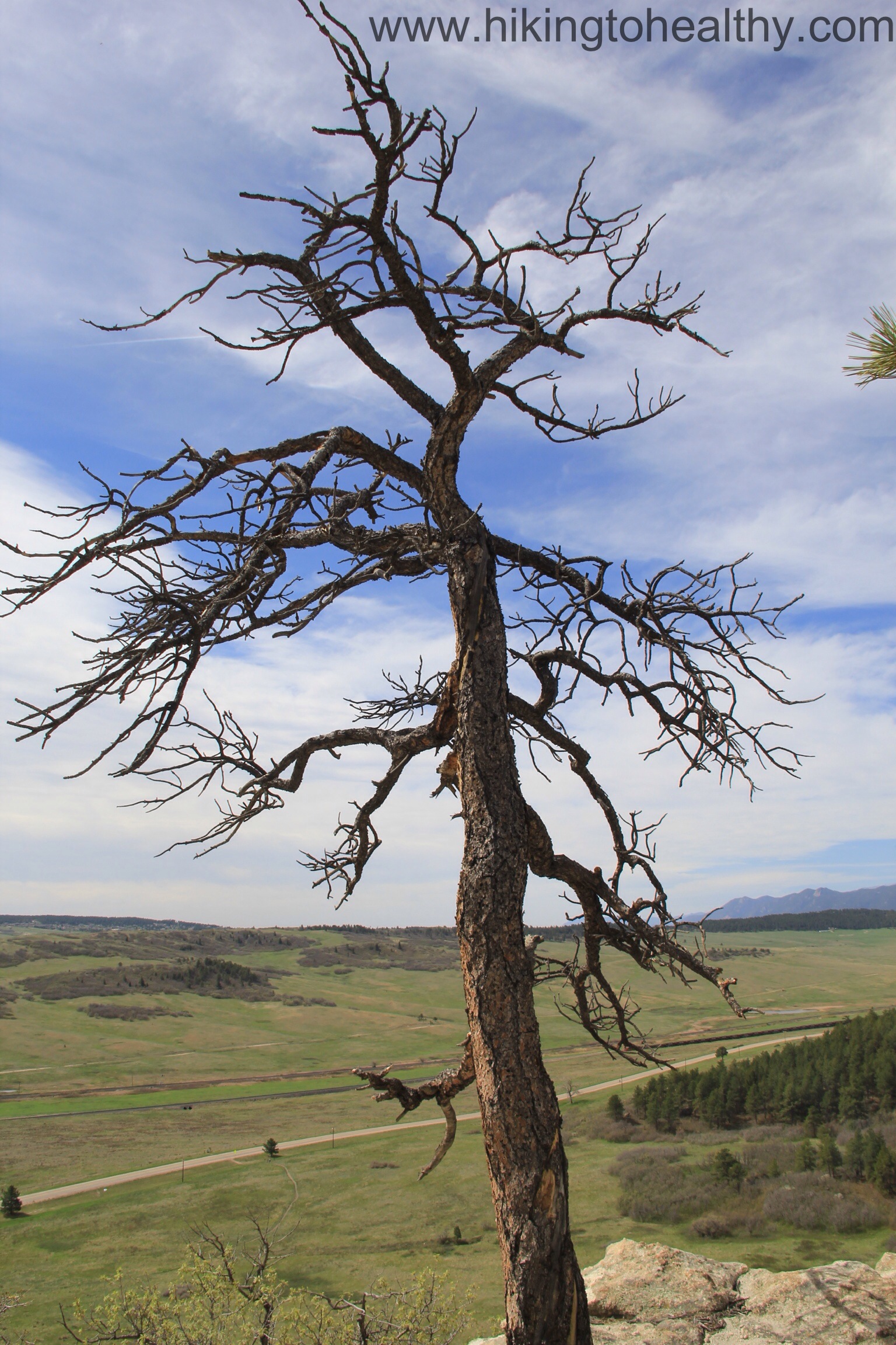
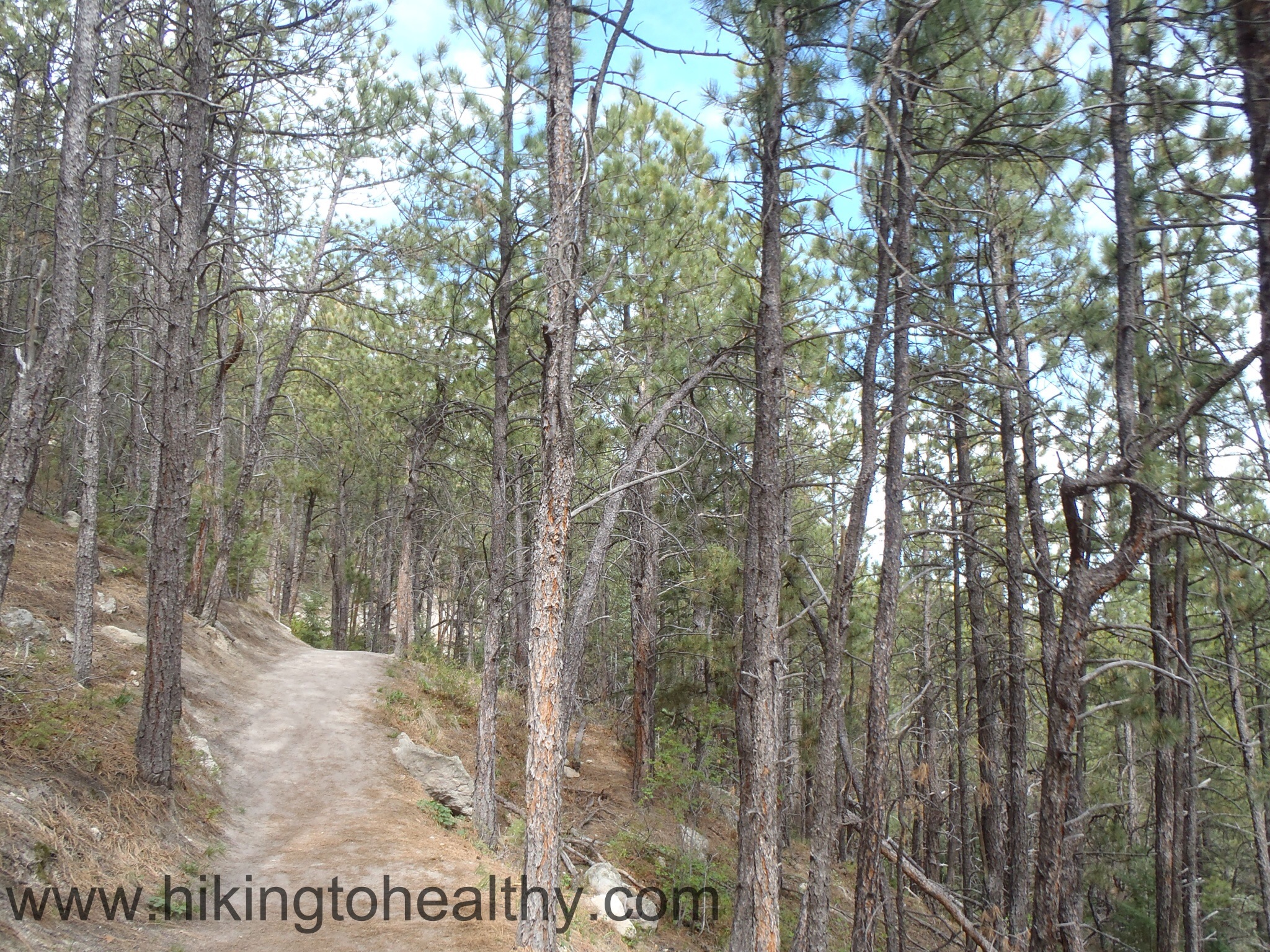
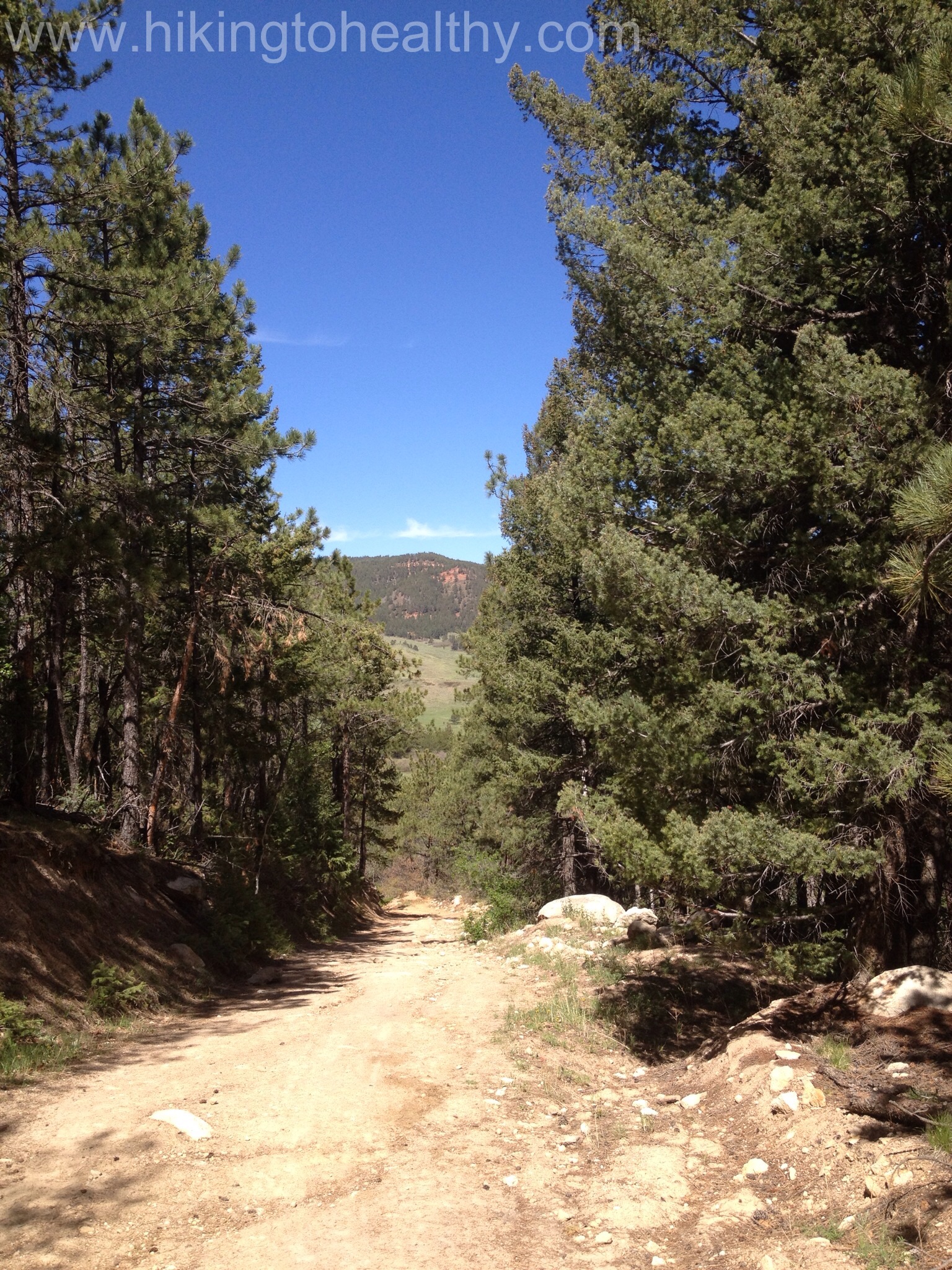
The walk up was mostly covered in pine and spruce with this nice sandy trail consistency with solidness beneath it. It smelled great and was lovely just in general.
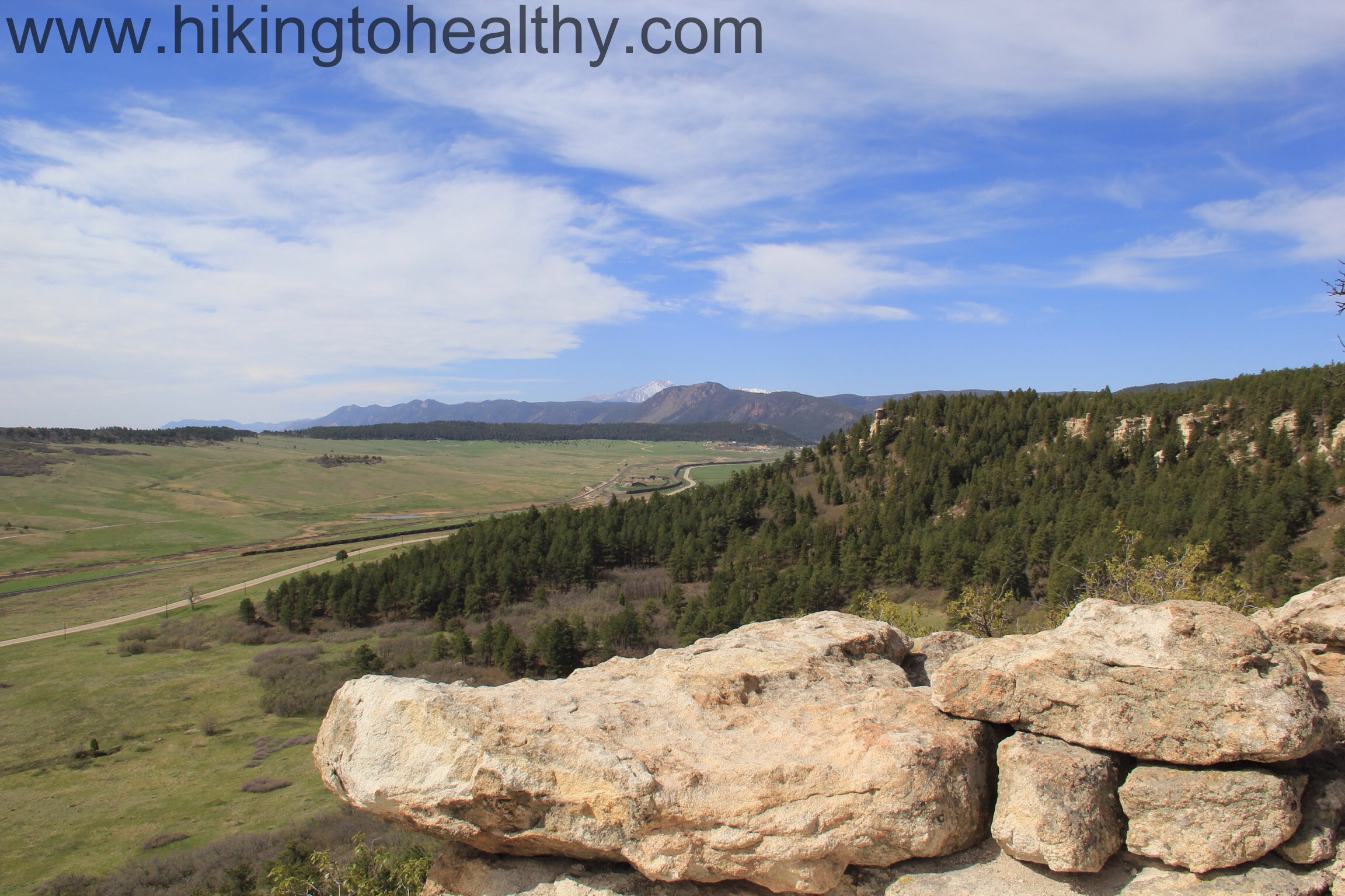
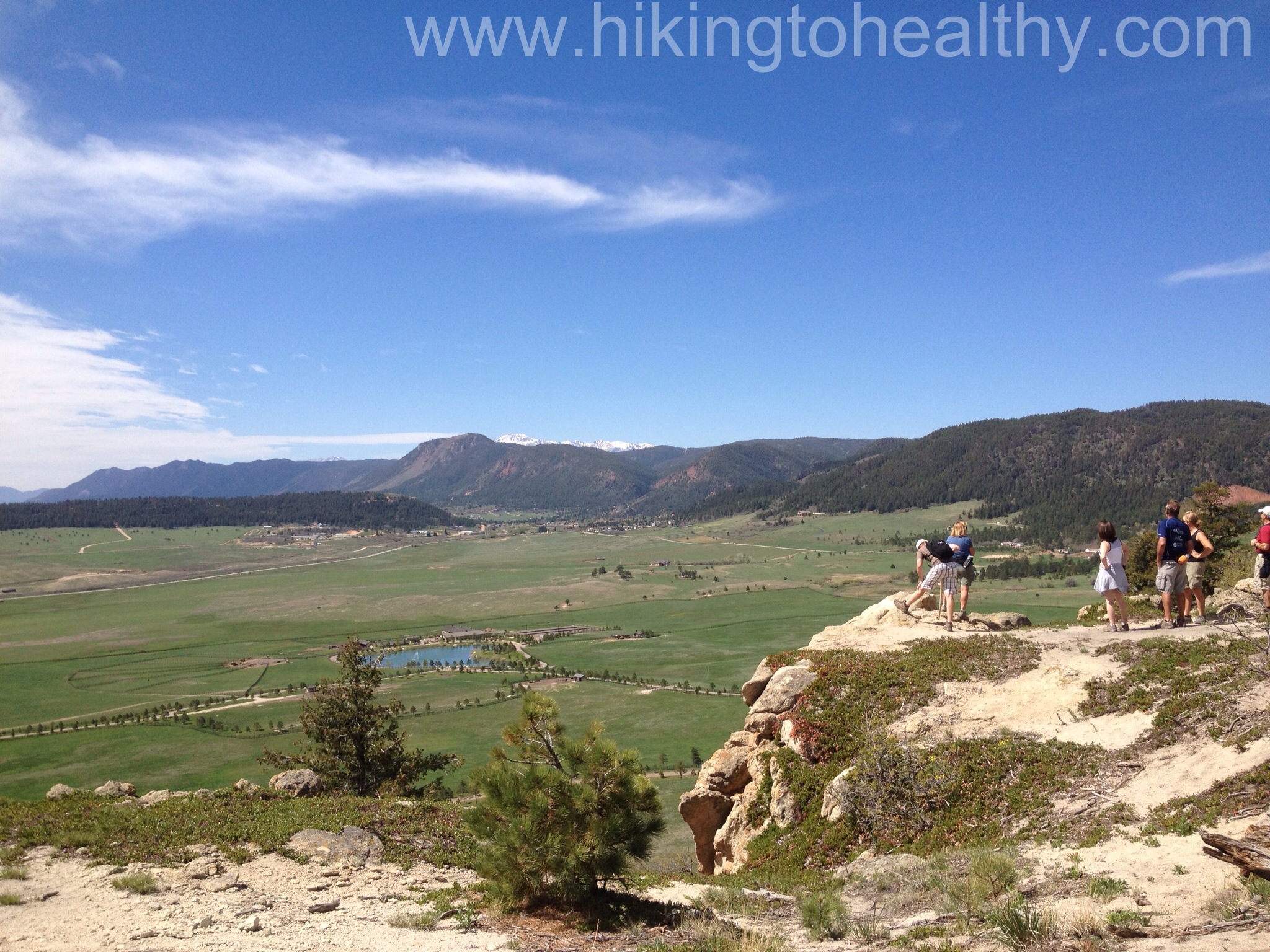
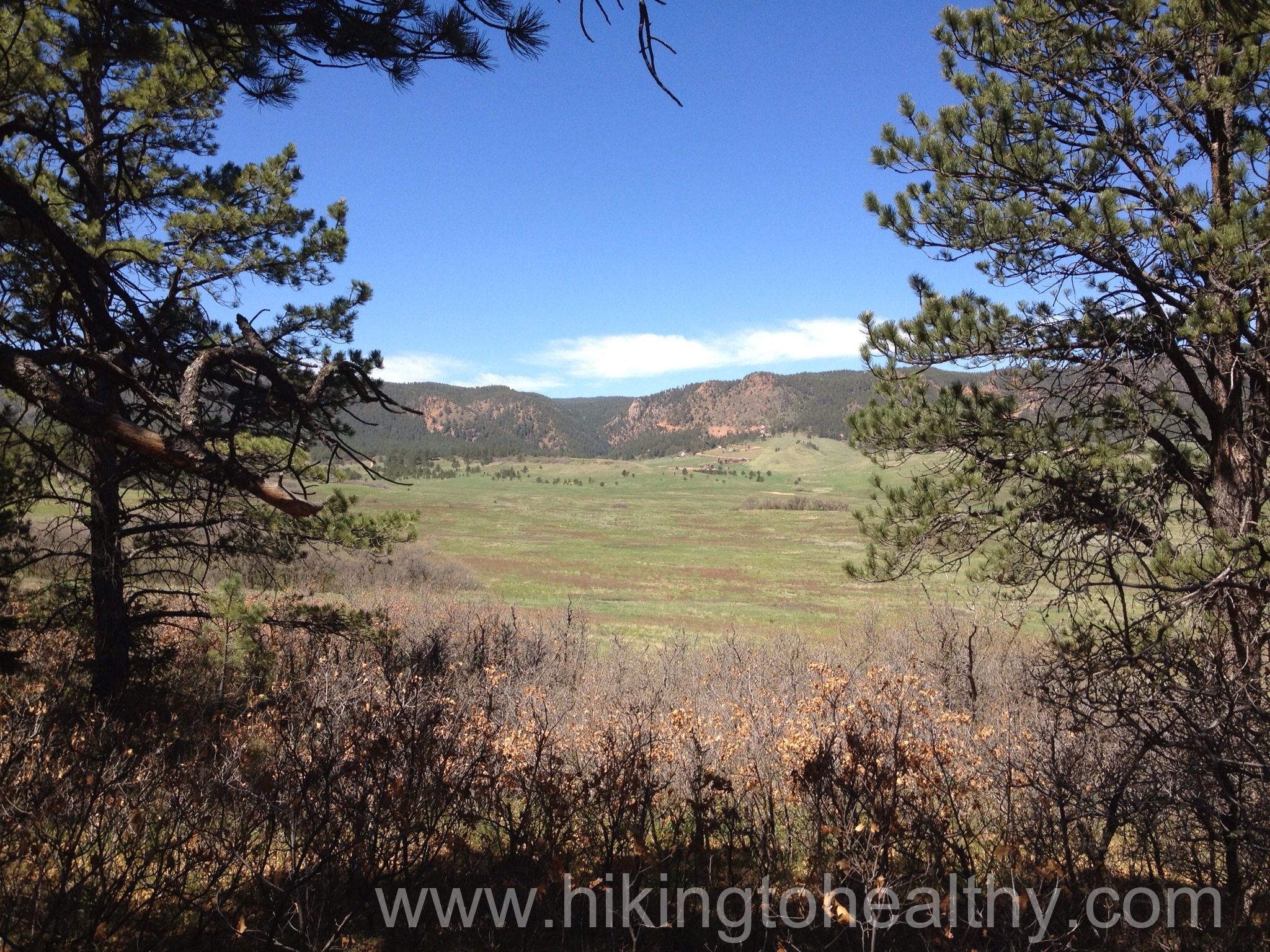
When we got to the top there is was the trail continuing to the right and this huge viewing area to the left and it looked like it made a loop in and out of rocks and trees with benches and lots of opportunities to enjoy the views of the South Front range with some sense of privacy. This place must get pretty busy and there was a nice crowd here on Sunday but not too bad.

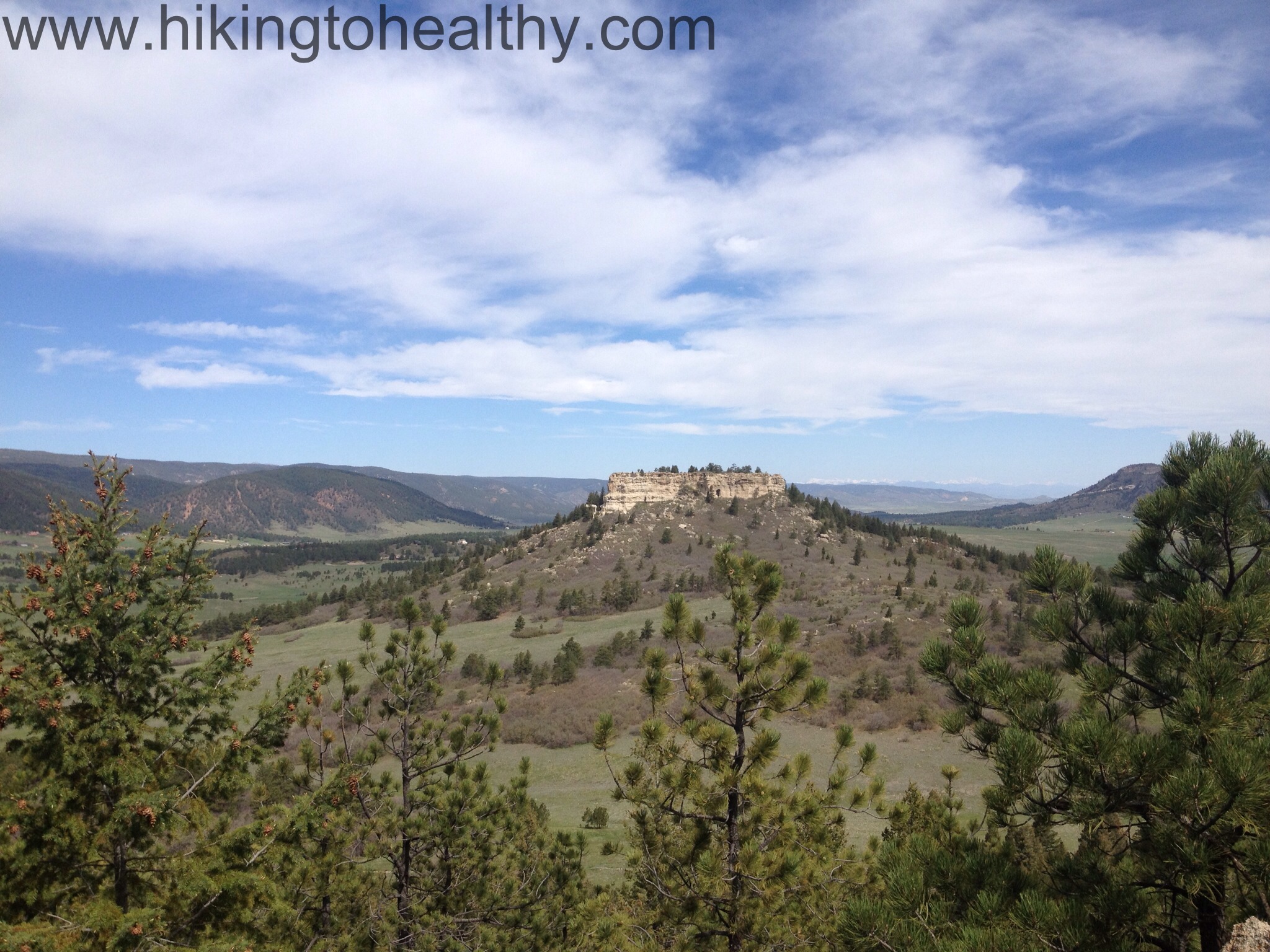
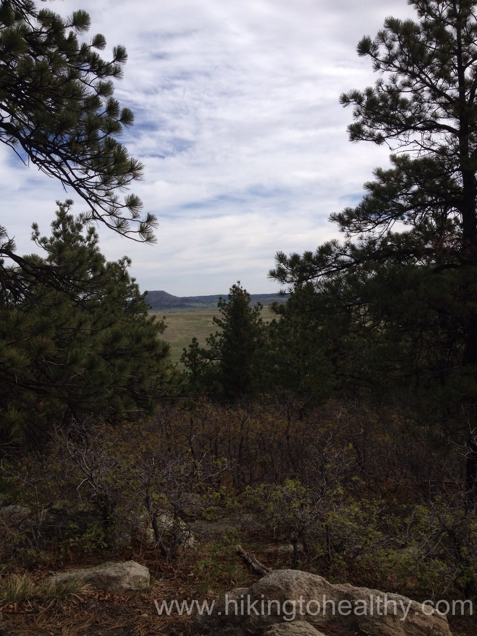
Somehow we got back on the trail with missing how we did it so I will make the guess it is pretty easy to do. We came around to another view-point on the opposite side of the Mountain top so our views were all of the north Front Range and then we got to the next trail break which gave the option of the Mountain top loop or the service road. We opted for the Loop on such a beautiful day with enough wind to keep us comfortable. Here are a series of pictures showing the transition to the loop.


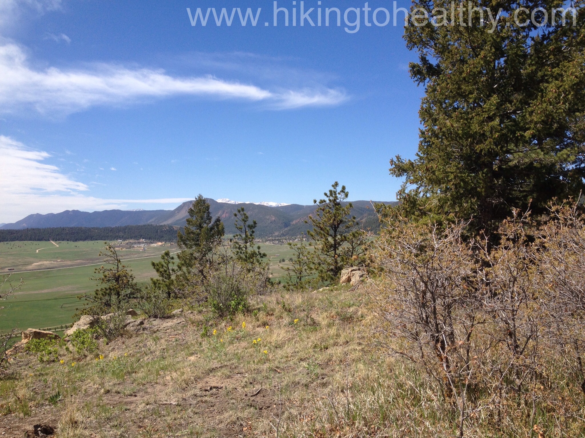
After we went around this corner it was like a museum walking past view points with one spectacular view after the next. It was also being enjoyed by lots of people so we kept going.
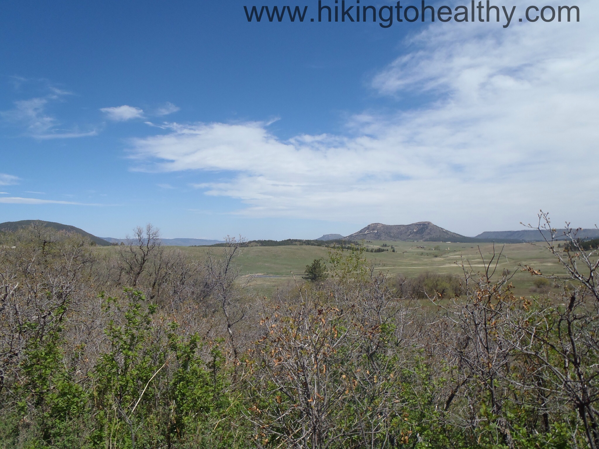
We got this view of directly west from lower down but it was essentially the same:
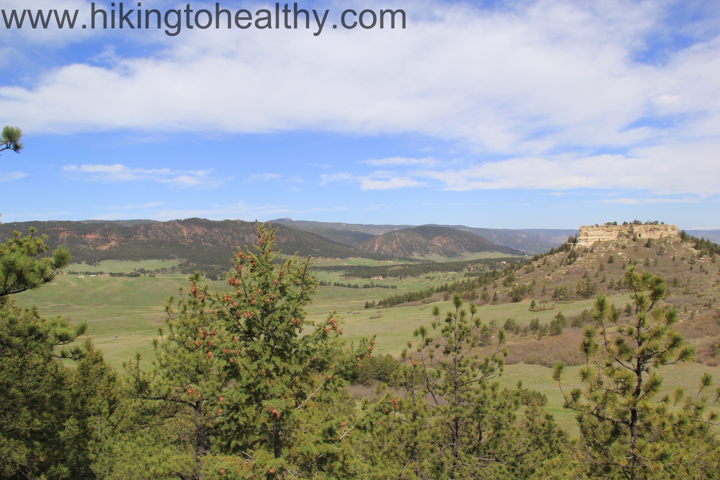
At the end of the loop we took the service road down, which is not a popular choice so we had it almost to ourselves. The service road is ROUGH and steep with huge crevices and I am not really sure how they get any vehicle up there but I know they do…

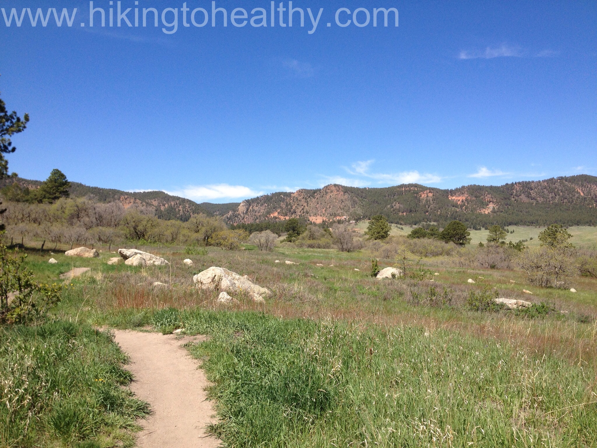
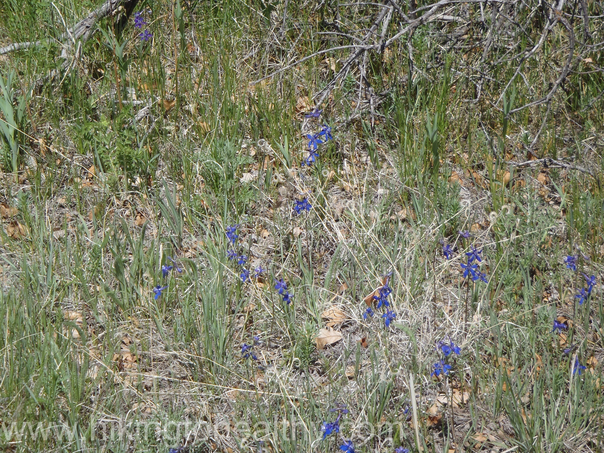
From the bottom of the service road we went right and through a gate and then it was exposed and relatively flat the rest of the way back to the parking lot. It was a warm day and we were slathered in sun block, which was almost not enough. Bring lots of water and wear sunscreen, it took us about 2 hours to complete the whole trail and we were moving at a nice clip. We did stop and take a lot of pictures in that 2 hours too so it is a great relaxing hike, lots of families and lots of all ages, tons of flowers. I haven’t stopped talking about this hike all week and I know my friends are like enough already, but if you find yourself near Larkspur CO hit this trail! After the directions will be some of our favorite pictures.
Directions:
13415 Spruce Mountain Road, Larkspur, CO
From I-25, take the Greenland Exit (167) to the west and travel ¼ mile west on Greenland Road and ½ mile south. Bypass the Greenland Trailhead and continue right on the main gravel road (Noe Road) over two sets of railroad tracks. (If you have a horse trailer or very large vehicle, park at the Spruce meadows parking lot on your left and take the 2-mile trail to Spruce Mountain.) Cars can continue another mile west to Spruce Mountain Road. Take a left and head south for about one mile to the parking area on your right. Remember, cars and light trucks only may park here.


This is a great hike! We did it a little over a year ago. I loved the rocky cliffs along the one side of the loop. Great views!
Yes! The cliffs were spectacular! I should have mentioned them!
Open space, indeed!
Love the open spaces here!!!
thanks for the information. I will check it out when I visit my son in Denver.
I hope you do, it is a beautiful payoff for not a ton of work!
Looks great! I’m now motivated to go outside. 🙂
Yay!
Beautiful! Now I know why my sister would like to move to Colorado.
Janet I honestly don’t know why we don’t have a population problem here. Seriously, it is the best kept secret of the west!