
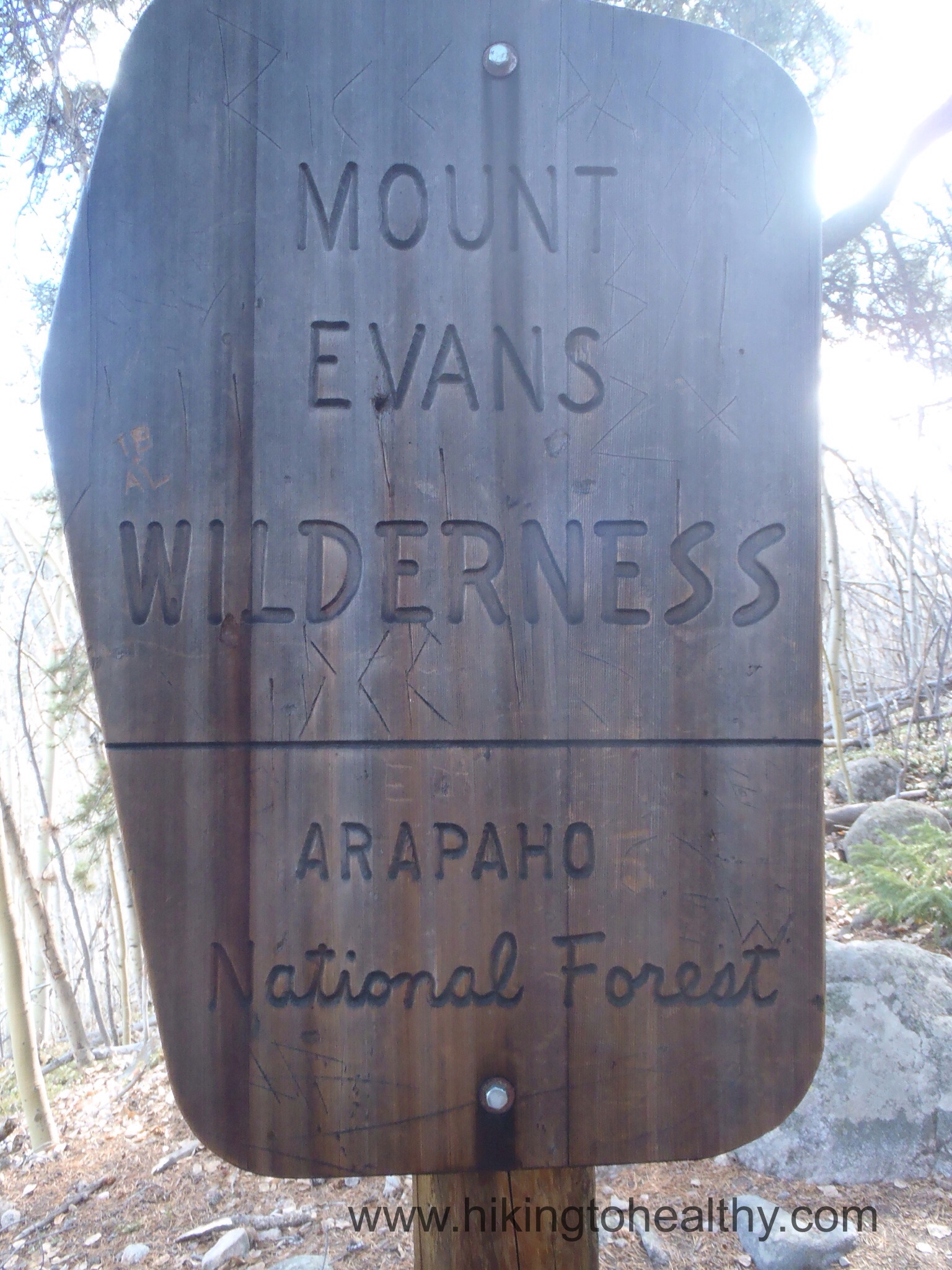
Hell’s Hole Trail #53
Starting Elevation: 9600Ft
Highest Elevation: 11,578 Ft ( total Elevation gain was around 2200 ft.) Hells Hole is actually at 11,200 but we went past and above it.
Trail Length: I read anywhere from 8-10 miles on the accounts of it I could find. My fitbit was close to 10 miles round trip, it too us 4.5- 5 hrs
Trail uses: Hiker, horses & snow shoe
Degree of DIfficulty: Moderate to difficult, mostly because of altitude and length of trail.
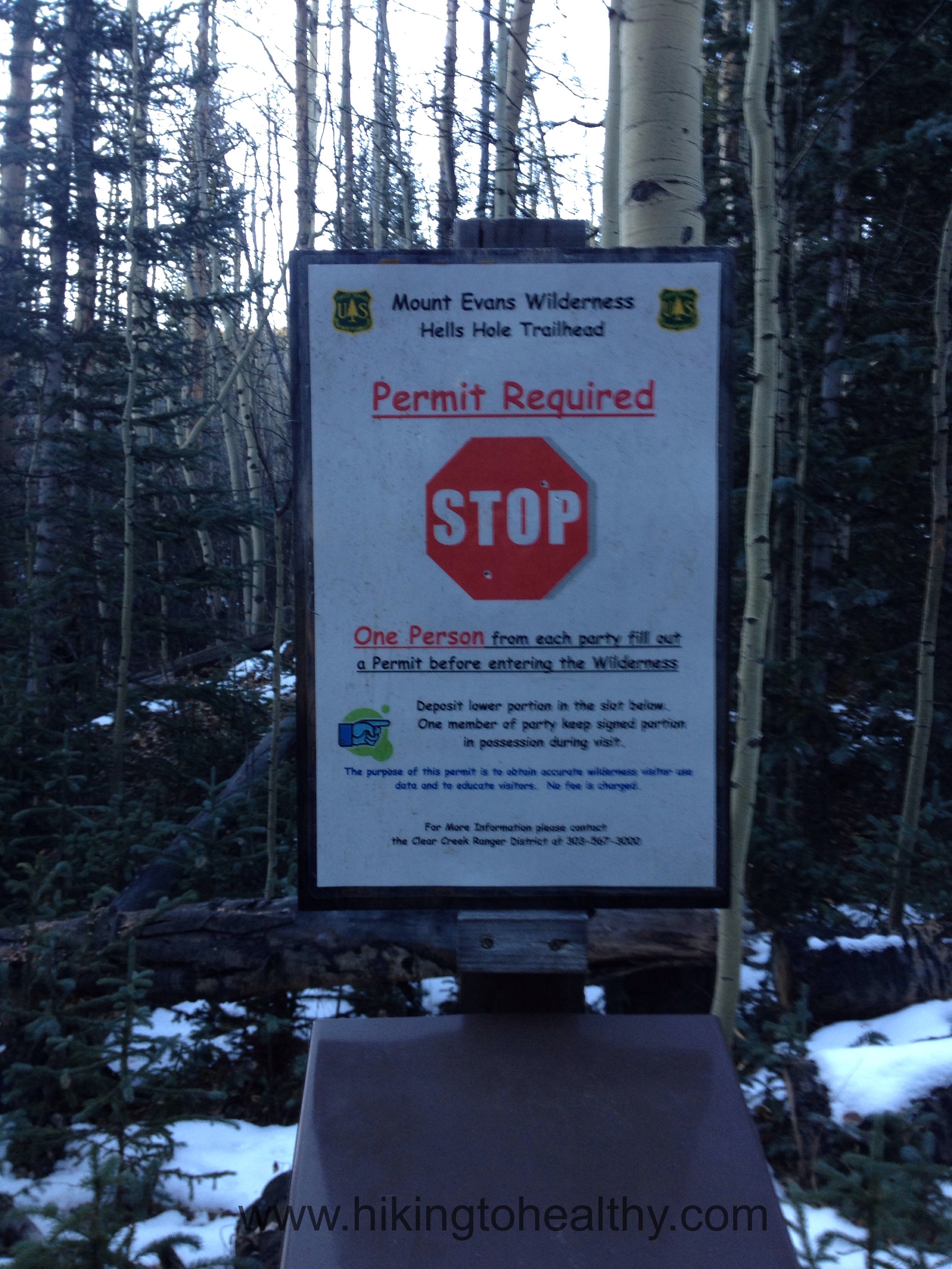
Fees: No fees, but there is a required permit to be filled out on the trail upon entering the Mt. Evans Wilderness
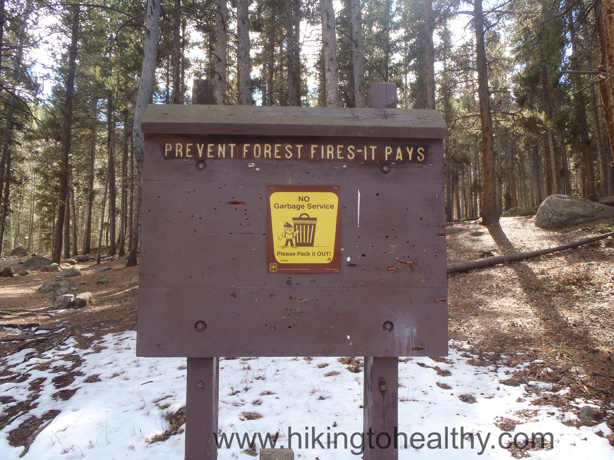
Bathrooms: Yes at the parking lot
Pets: Yes on leash only
A couple of things started coming together for this hike during the week….1 I am running out of new trails to hit through the 3 books I invested in 18 months ago, 2- I wanted to be above 10,000 feet this weekend and finally (and most importantly for selection this week) it needed a Halloween themed name. When I started looking for hikes, I had found a bunch of places listing all the hikes in certain national forests and so I started looking for ones with spooky type names. Hells Hole was perfect and close, now if only we had thought of bringing masks before we started hiking…. Did I ever mention what a Halloween super freak I was?

We got up early even though I knew it meant a pretty cold start ( 24 degrees), I still wanted to start early because I hoped it meant having the trail mostly to ourselves and I can tell you it worked, we didn’t see anyone else until we were well on our way back to the car.


The trail starts out climbing through a beautiful aspen grove, which I have come to love as much without leaves as I do with. I would say that this was by far the steepest climb of the entire hike and lasts for a solid mile.


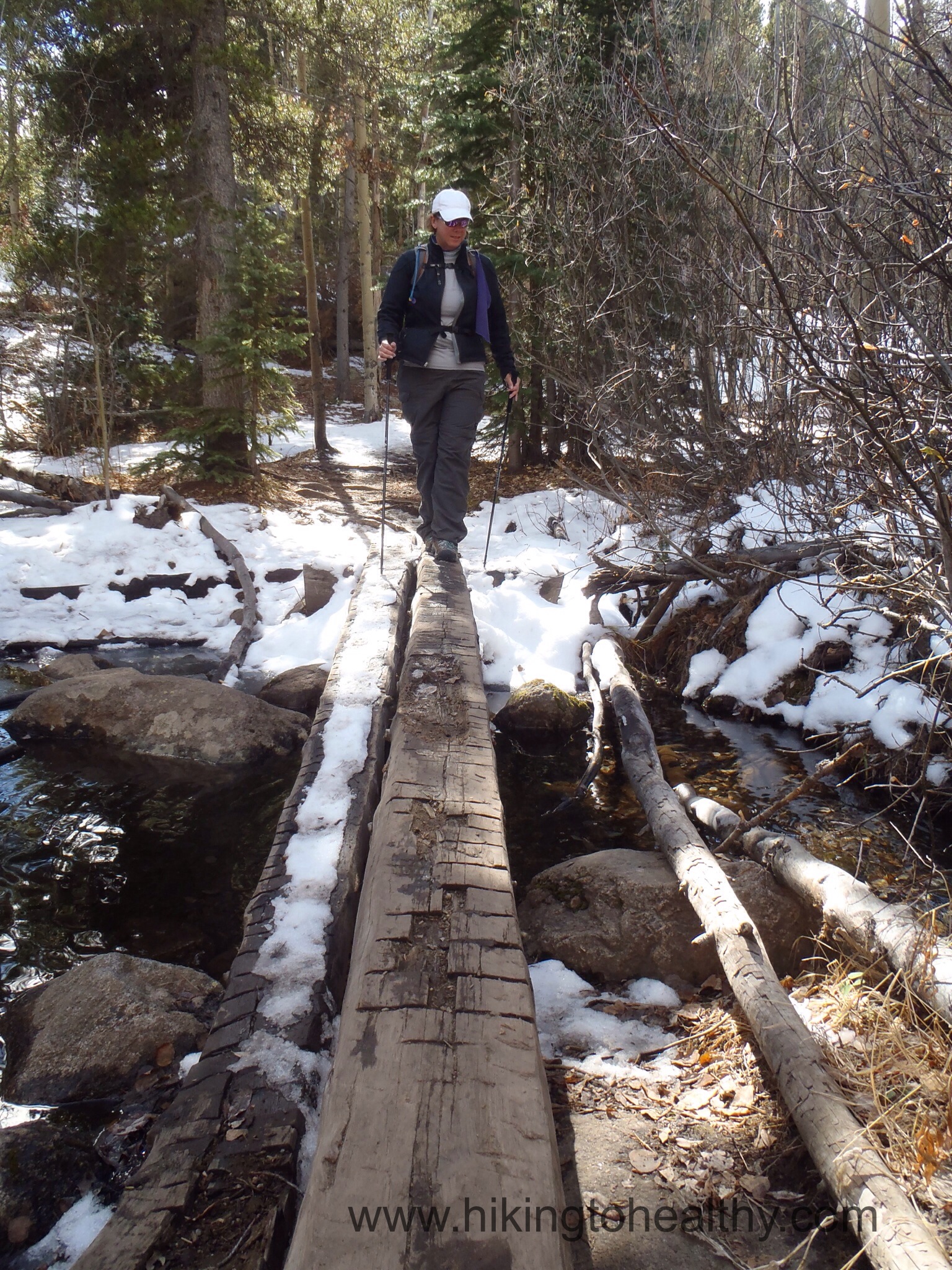
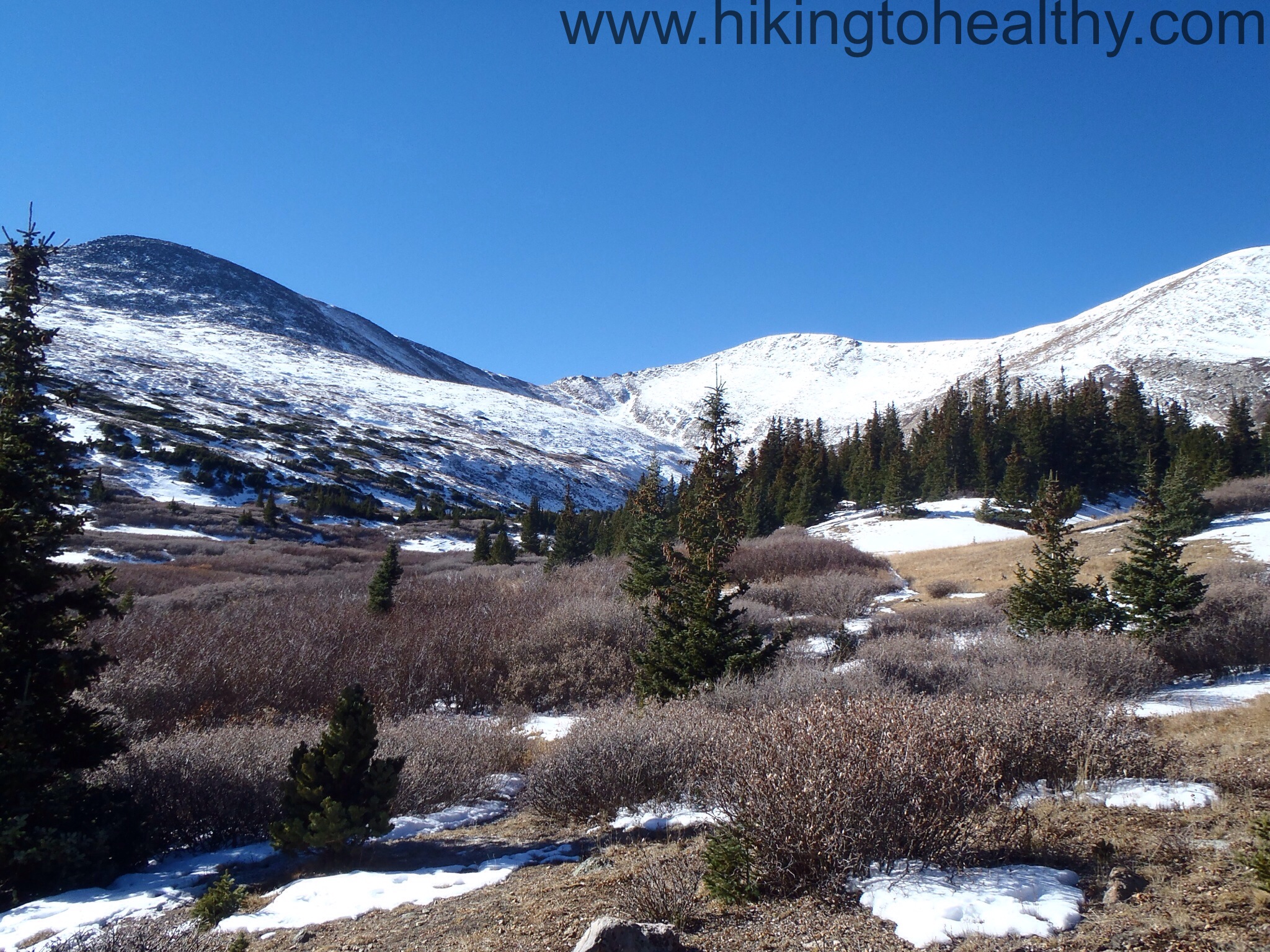
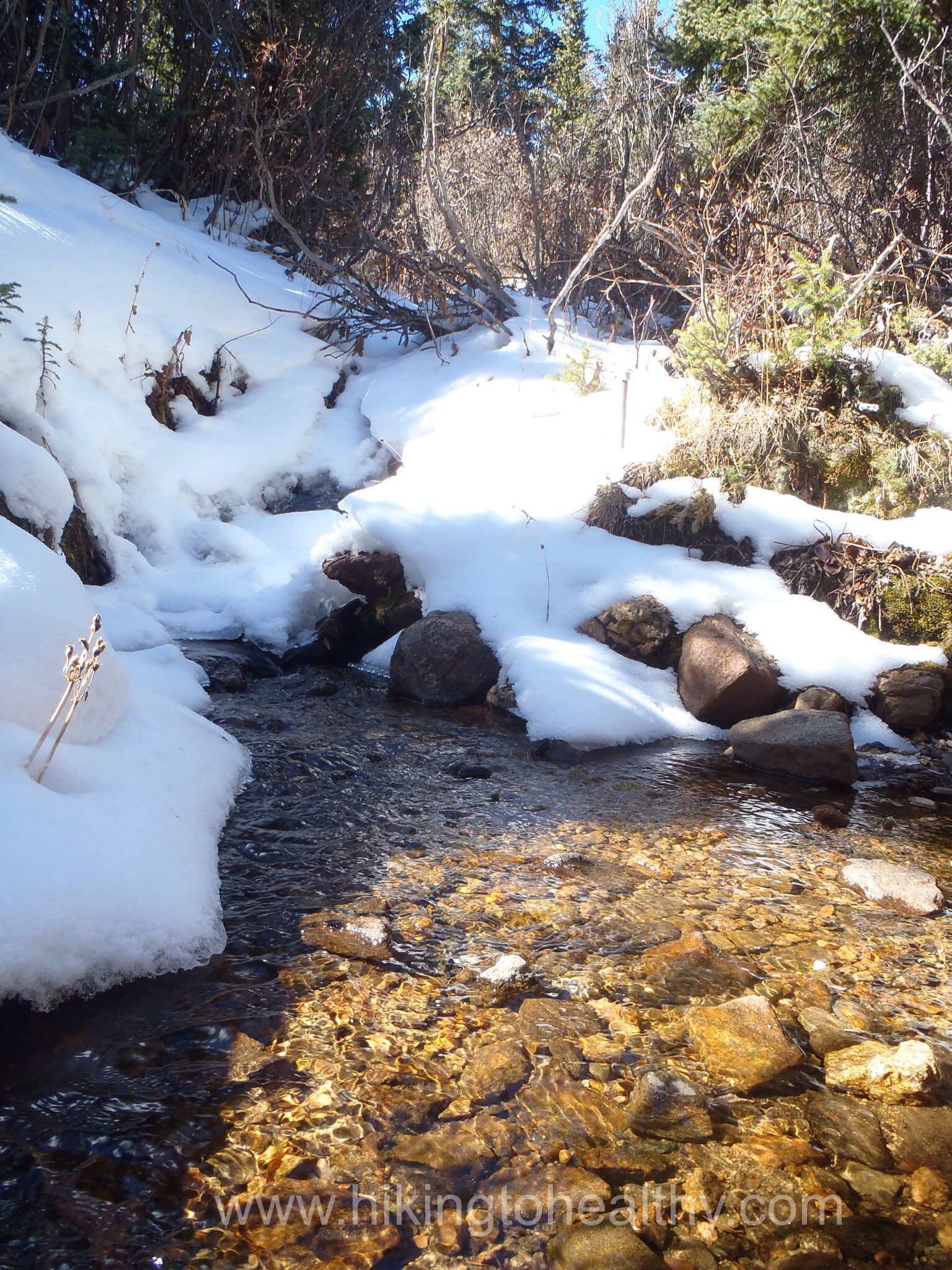
The next 2ish miles climbed through pines at a much milder grade and as the sun started to climb we warmed up a little while the mountains were starting to bask in it, creating a beautiful destination to hike towards. The snow on the ground became more consistent towards the end of the Aspen grove, through the pines it was even more persistent. This brings me to the other great thing about being the first on the trail, we get to enjoy the benefit of first tracks of the day. Which meant no yaktrax or crampons needed for first tracks. Going down was much harder because all that snow had started turning to ice with the other hikers now out on it and the sun starting to warm up everything.


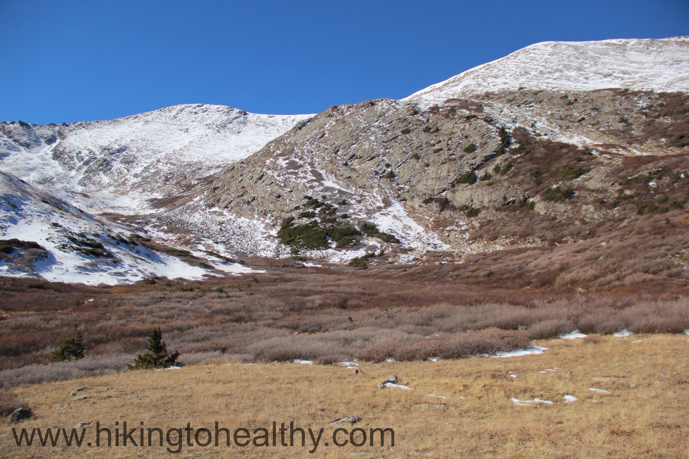
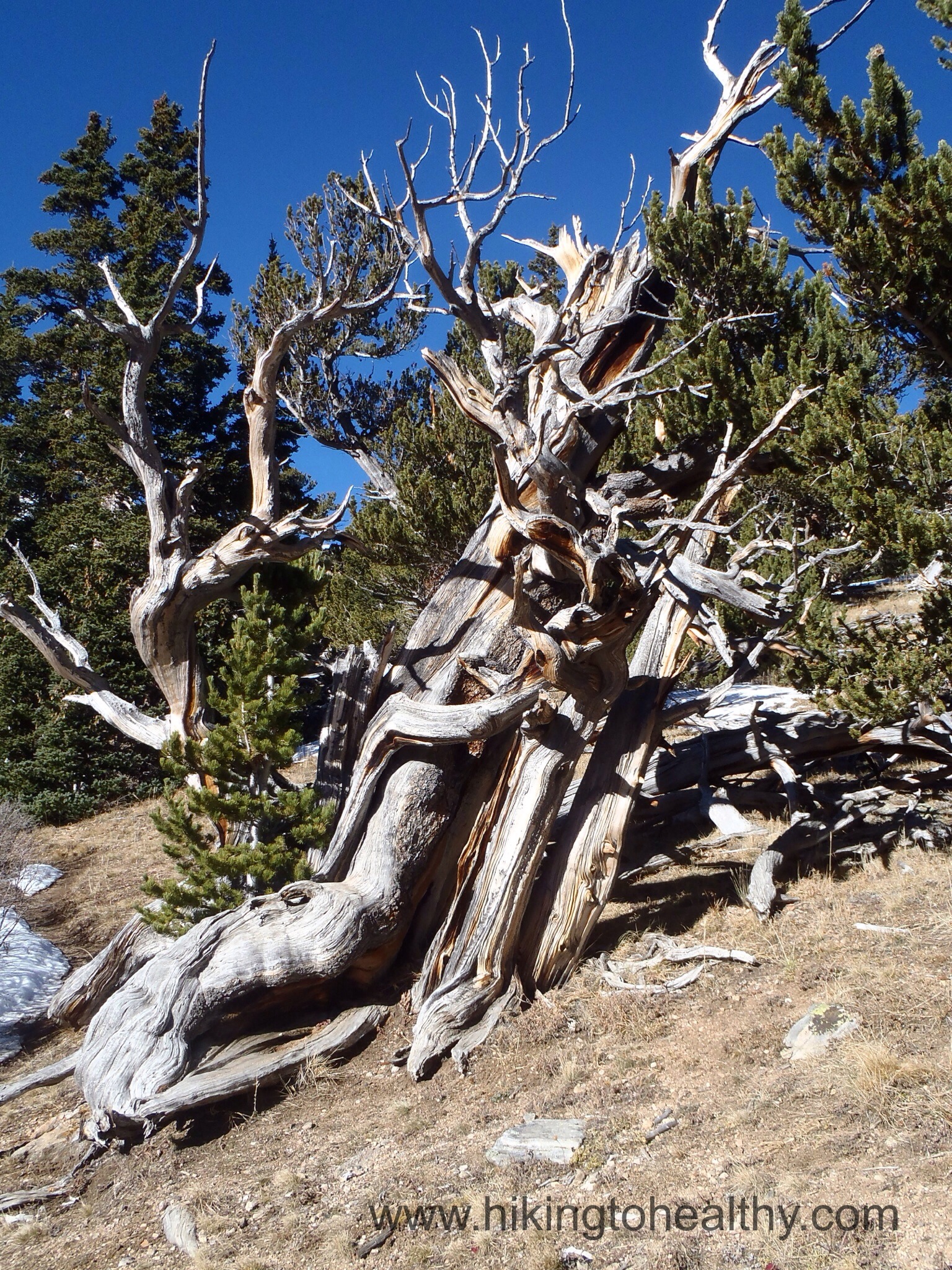
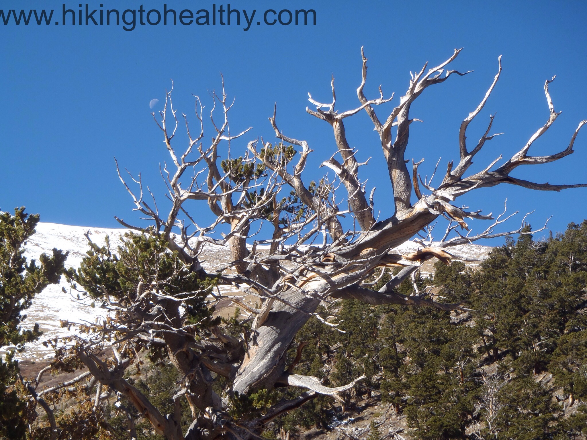
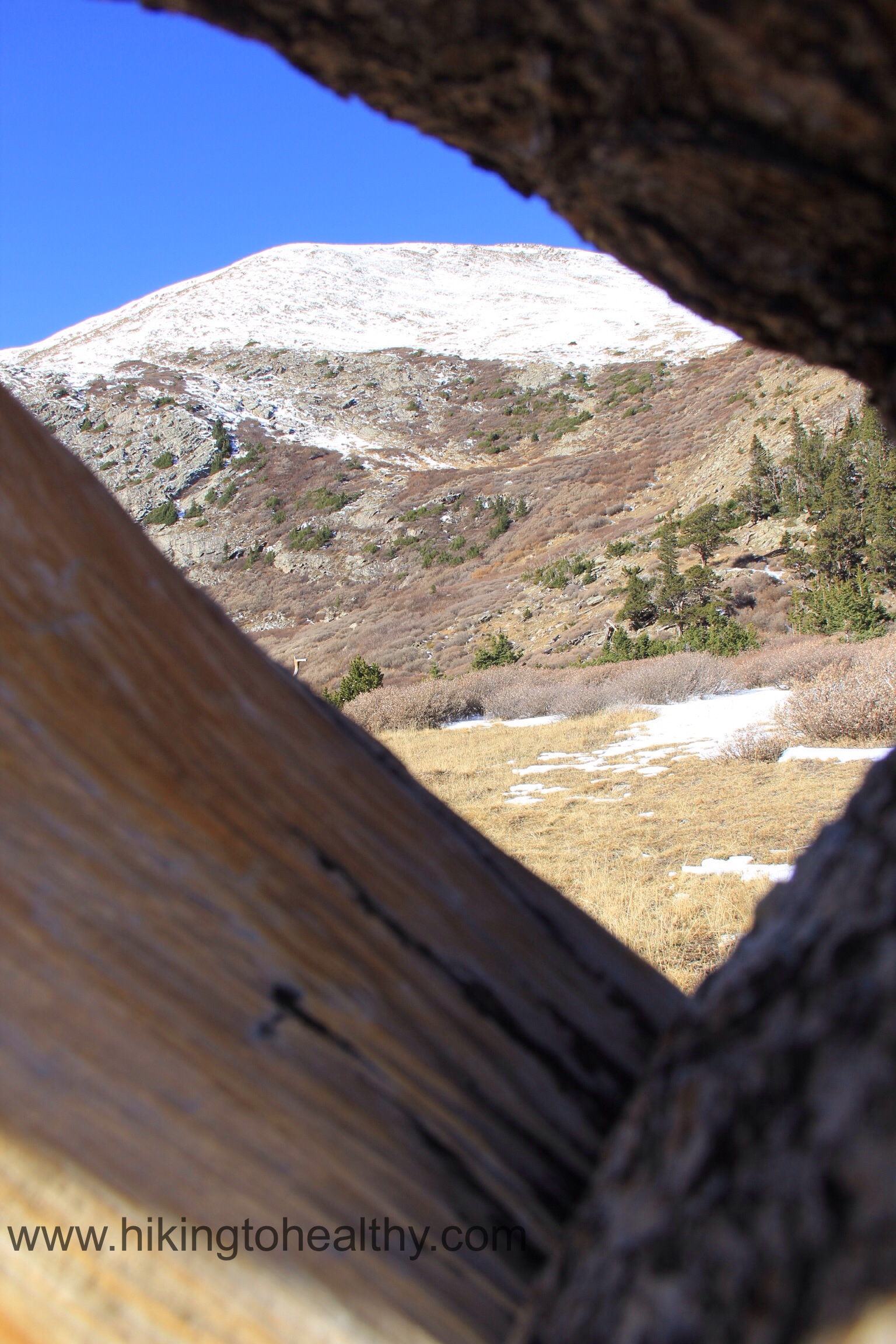
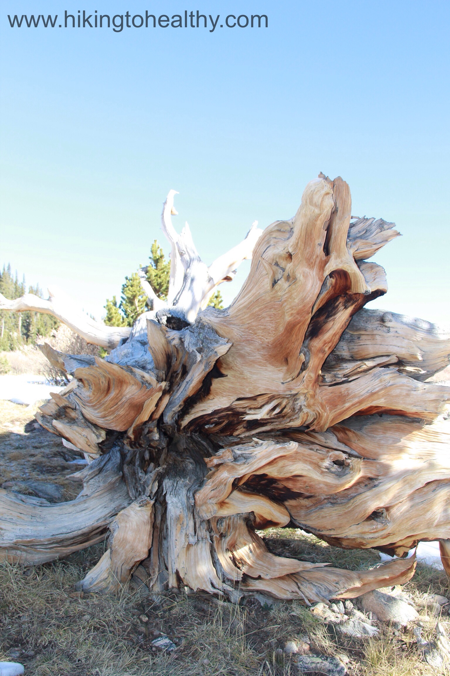
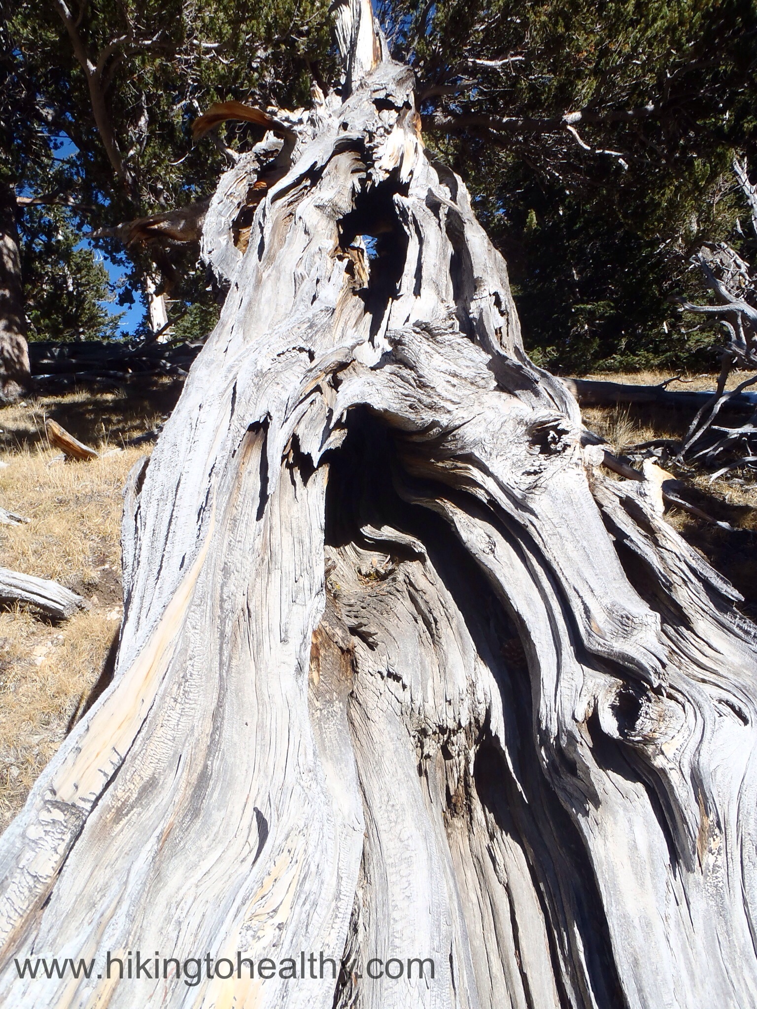
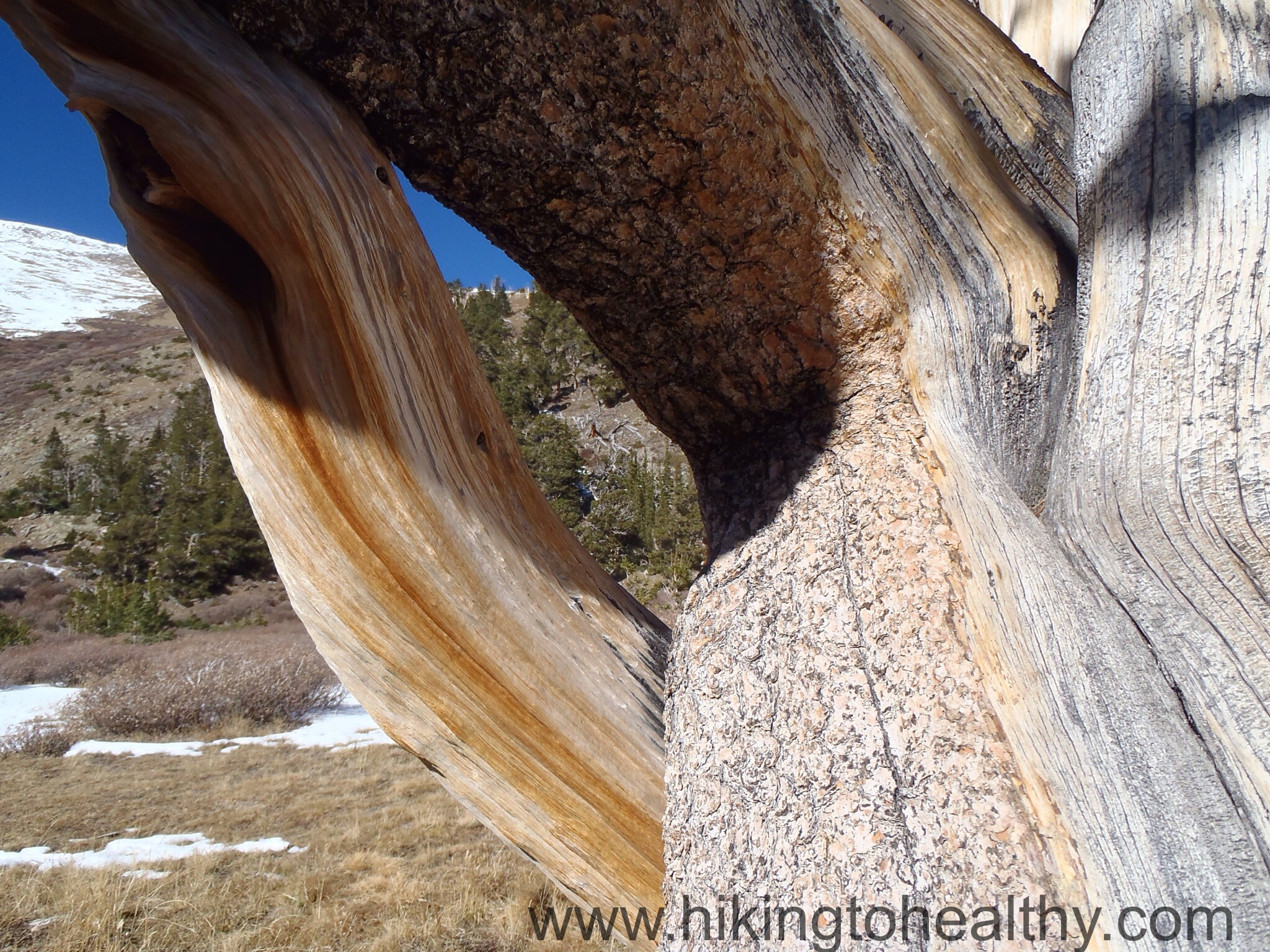
The final 1-1.5 miles we broke out of the trees and moved along the plateau towards Hells Hole when this stunning bristle cone pine grove presented itself. Have you ever seen a Bristle cone pine? I am sure you have, they are those amazing trees that are both living and yet look like they have died in a spectacular display of color with twisted tortured limbs.


I have to say reaching this point was by far the best part of the whole hike, I mean I have seen one or two of these trees before on a hike but I have to tell you this was the biggest most stunning grove of them I have ever seen. I spent an hour taking pictures after we made it to our break point just above Hells hole.


Hells hole was kind of pitiful, it was frozen over and really unremarkable but the bowl we were in with all the Bristle cone pines and the majestic mountains was what made the hike. It was lovely from beginning to end and the perfect way to commemorate the weekend before Halloween!

Once again we met great people on the trail….it was just before we were done when a super nice couple was asking about the trail and what we thought about where it went. Before I knew it we were all talking about Chicago of all things and blogging and how incredibly awesome Colorado is, among other things! Surprisingly James had found my blog while looking for hikes and recognized me from it, how wild is that!?! It was so nice meeting you James and Wendy you are both so inspiring!
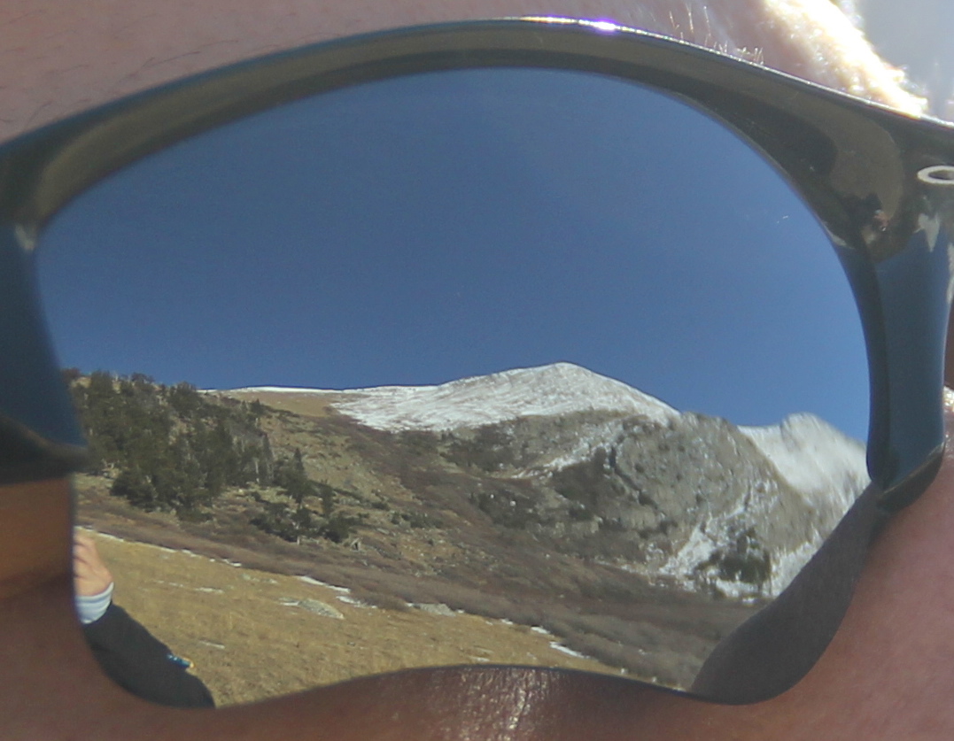
After the directions will be some of my favorite pictures from the hike.
Directions: Take I70 west from Denver, take exit 240- highway 103 at Idaho Springs. Go South on CO 103 from Idaho Springs, at the first Switchback go straight onto Clear Creek County #114 to its end at the West Chicago Creek Campground. FYI the road is dirt but well maintained until maybe the last half mile but it was still in OK condition, it was no problem for my civic.


Omigosh! Great Pics! I can smell the crisp air!
It was wonderfully crisp! I love where I live!!! Thanks for checking blog!
Cool trees! Just the altitude would make this a tough hike…
Oh the tress were awesome!…. I know it is relative but I live at close to 6000Ft and really it was just getting above that 10-11K that was the hardest part other then distance itself. The trail is not too bad after the aspen grove and the climb very gradual.
Love the Hallowean costume photo! Very cool. We don’t really do Hallowean here in Australia so no fun costumes for us 😦 . Haha. Beautiful as always.
Ohhh so sad for you that you don’t do Halloween! I love it!!!! We didn’t get to have a party this year but we still decorated like crazy halloween loving people… Thank you!
Great pictures! We’ve only hiked a short ways up this trail last Fall – still need to complete the entire trail. The Bristlecone Pines are wonderful!
It was surprising, everything I had read made me kinda of have low expectations but it was crazy beautiful! I hope you make it all the way through one day!
It was so nice to meet you both as well! Look forward to running into again sometime 🙂 Great post!
Ditto! I am sure we will meet again!!! Email me any time at hikingtohealthy@gmail.com, I would love to cross paths again soon!
Really enjoyed meeting you, as well!! Absolutely love your site and I think this is one of my favorite posts, especially the pictures. Hope to see you on the trail, again!
-James
Thank you James! We were pretty thrilled too! It was great to get to steal some of your time! I am sure we will meet up sooner rather then later! It was just too much fun for the 30-40 minutes we chatted! Take Care!
I love those big, gnarly trees. Great photos.