

Mason Creek Trail> Border Line Trail> Staunton Ranch Trail
Starting Elevation: 8197 ft
Highest Elevation: 9450 Ft ( Almost 1600 ft total with a little up and down from Mason Creek to Border Line)
Trail Length: 10.6 miles officially and my fitbit was pretty close with right around 11 miles
Trail Uses: Hiker, Biker, Horses
Degree Of Difficulty: Moderate to Difficult: mostly due to length.
Fees: $7 a day or $70 for the annual Colorado State Park Pas… we have the pass
Bathrooms: Yes at every parking lot
Pets: Yes- dogs allowed as long as they are on leash.

We have been super enjoying all the snowshoeing opportunities these past 2 months but to be honest I feel like we are totally out of shape. None of our snowshoes were very long or had a ton of elevation gain, we stayed up highish but didn’t climb a ton. I was starting to worry that all that stamina we had fought hard for might be gone. That’s why we went back to Staunton State Park on Saturday. This park is just beautiful, the trail options make it easy to challenge yourself or quickly escape if you bit off more than you can chew.

The other driver to get in as many miles as possible on Saturday, was the spring snow storm expected for Sunday. The mountains were predicted to get a foot or more of snow and we here on the Front Range 3-6 inches so we had to make a bang on Saturday. I am pretty sure everyone in Colorado had the same goal for Saturday as Spring fever has officially set in!
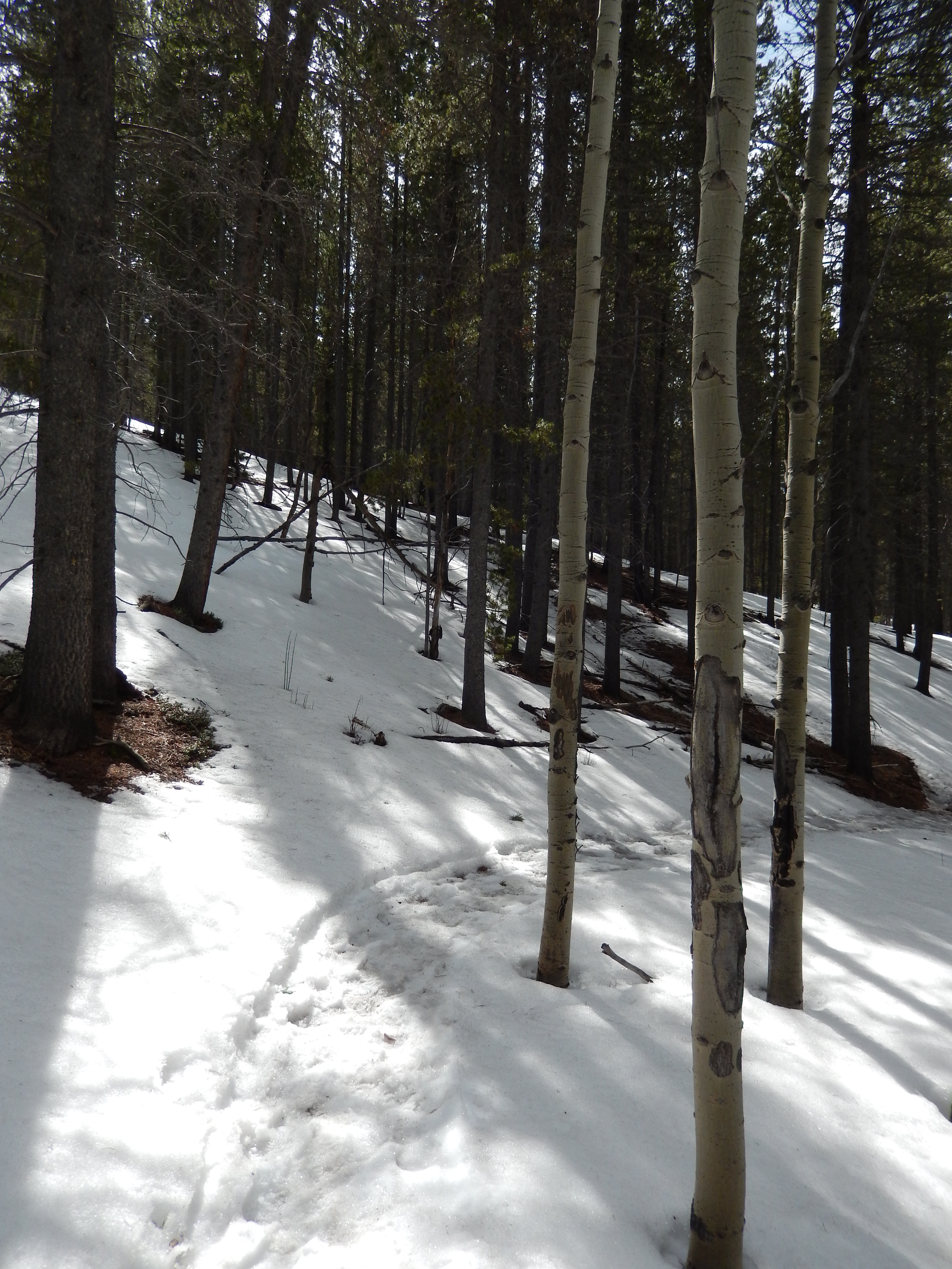
We started out on Mason Creek Trail and at first it was straight forward so we cruised through the 2.2 miles without blinking an eye. It was wild flying through this part when the last time we attempted it in the snow it took us forever! I am torn which I liked more. It is beautiful for sure, but I think I might actually like a snowy Mason Creek ( our first hike details here) a little more… but I need to see it in summer. It wove beautifully along the creek which was babbling in and out of ice and snow. We crossed it a few times and once again I was so impressed with how they planned this state park, everything is so well thought out! Overall the trail mostly climbs and the last half mile or so declines to the trail break.


When we got to the trail break, we had a choice to do just 7 ish miles or push on and try for the 10.3 miles. If you get here and want the shorter route take Old Mill, it is just .9 miles to Staunton Ranch and then 1.7 to the parking lot. The old original Mill is here too, surrounding by fencing to protect it but it was cool to see.


We took Border Line and decided further was going to work… honestly I felt good and just doing the whole original planned loop felt really good.
From here it means climbing again and the first mile is straight up but not a super steep grade or anything plus it is a lot of switchbacks.

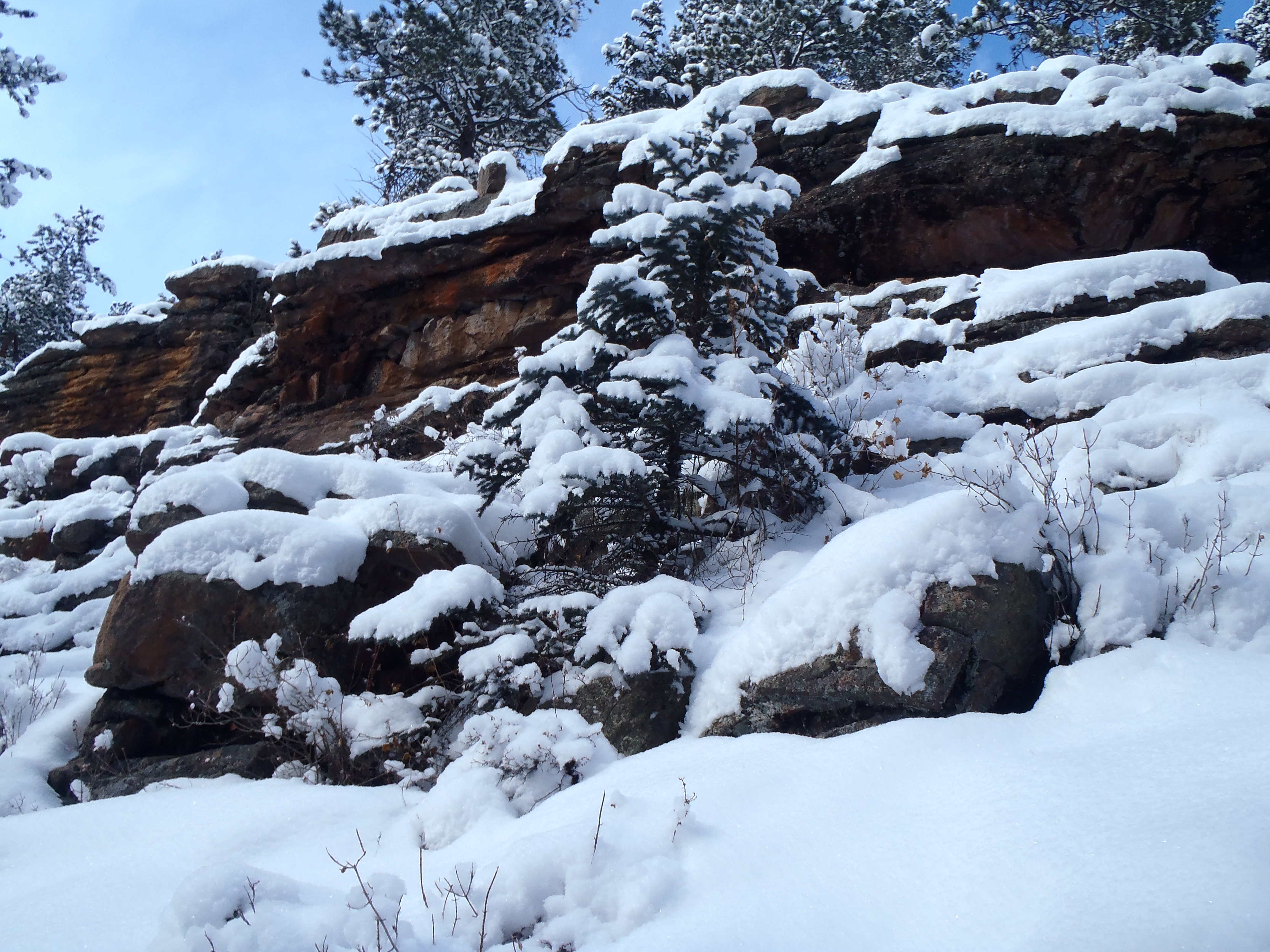
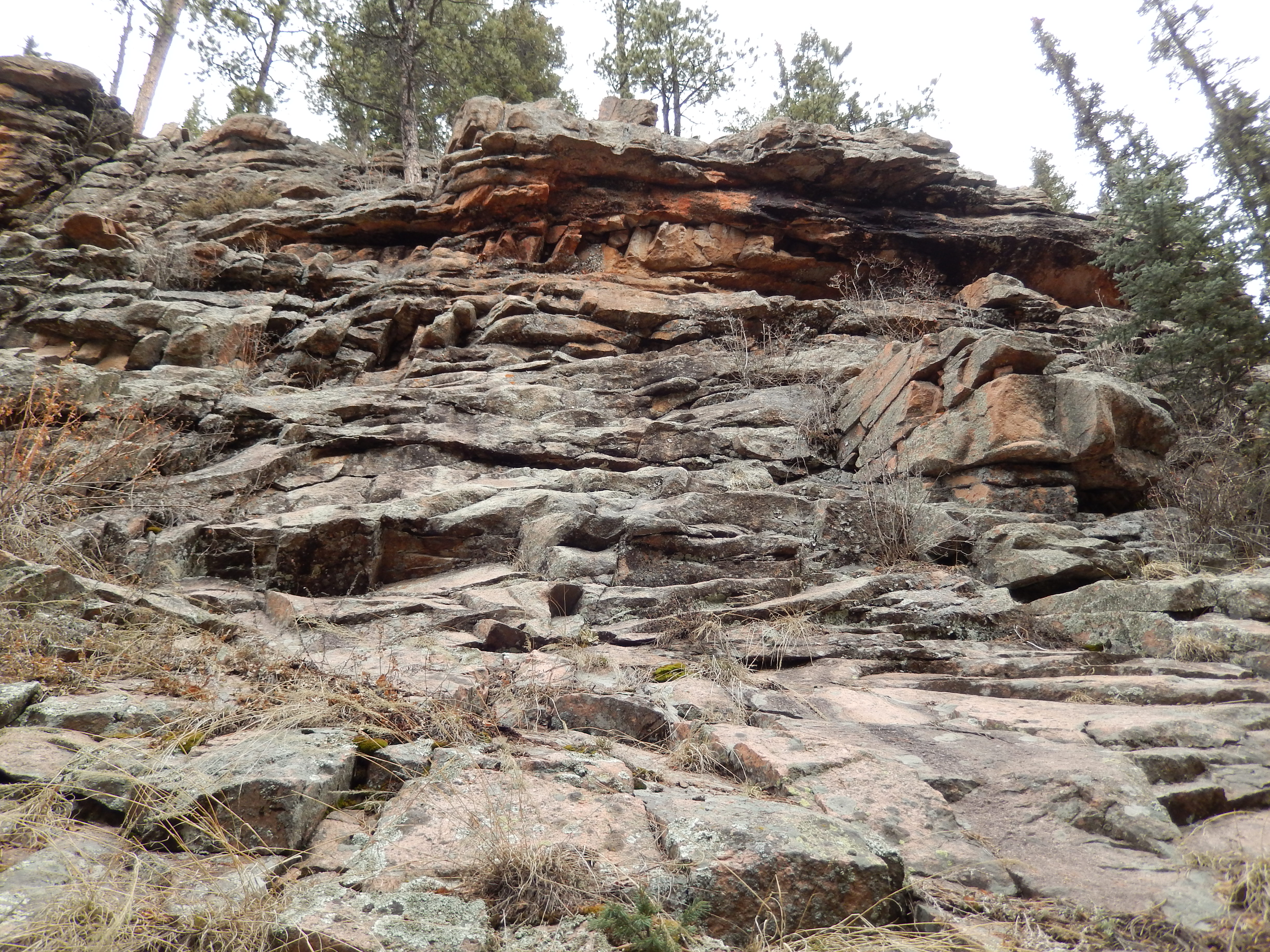
I was loving the views as we climbed, all the beautiful rock faces we saw as driving to the parking lot were right there…..spectacular.


We got to the Staunton view-point after a mile on Border Line, it is a little offshoot from the Border Line trail and we took it knowing it added .2 miles to our overall hike. I am so glad we did, the views were perfect. It would have been better had the sky been cloudless but there is something about the moodiness clouds add that make it a sight to behold! It is just .1 miles to the official view and then we kind of adventured to this other outcropping and got 180 degree views of everything….. I super love Colorado.


From this point we climbed a little more and then it was straight down to the Staunton Ranch trail.


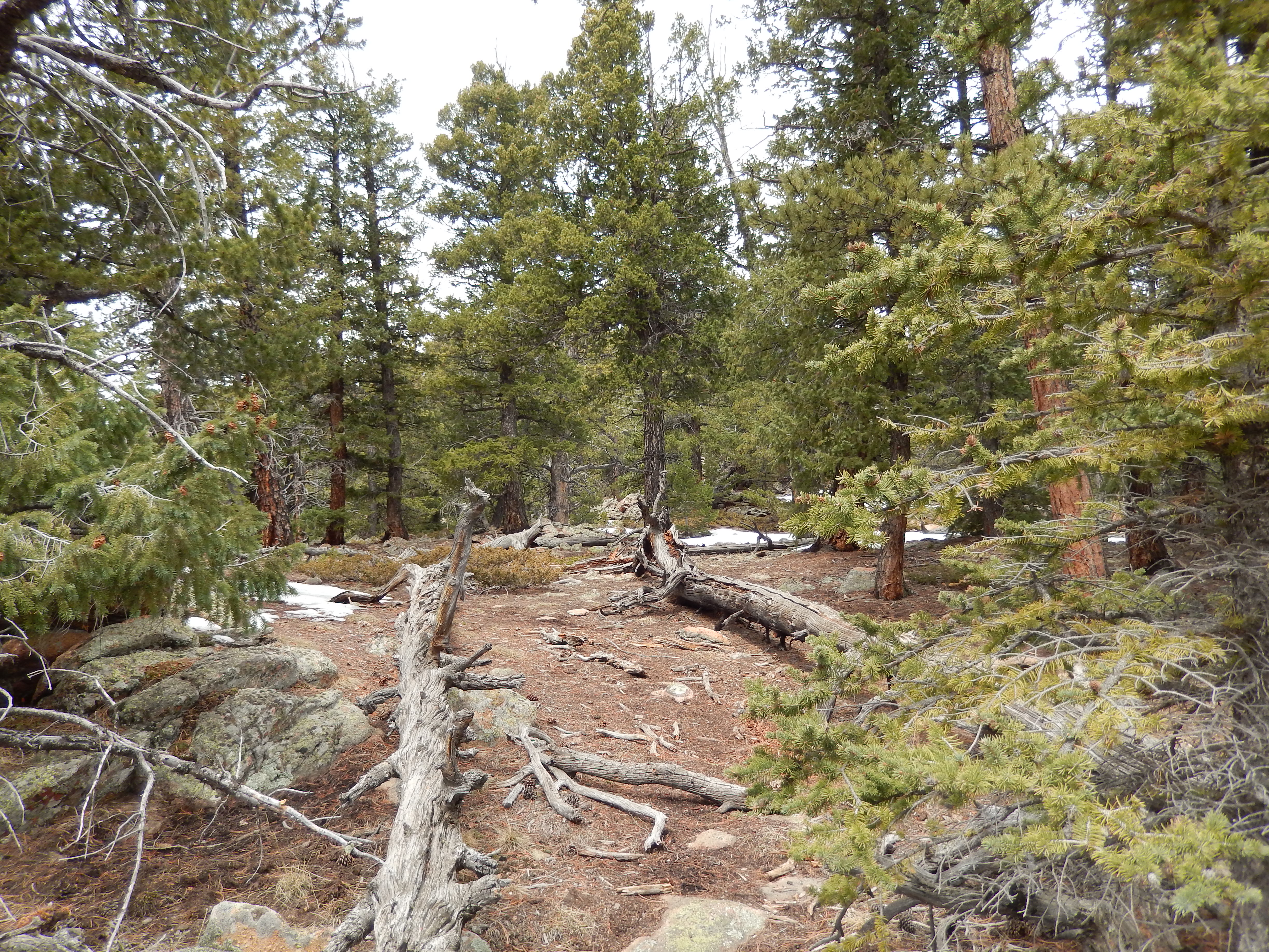
The Staunton Ranch Trail does a little up and down throughout and overall it is the easier stretch of the hike, just 3.3 miles of a stretch so be prepared if you do this loop. I will admit the last 2 miles were a struggle for me on Saturday, my feet and legs were protesting the whole way but it felt great to get our original goal accomplished.
I am excited for the next hike, the weather is changing and so am I…. I am struggling with my healthy part but I am so looking forward to so many new hikes. I want to be higher sooner and the snowshoes helped with that, we are comfortable at 10K already, thank you snowshoes!!! Now I need to get better at carrying my snowshoes so we can be good at 11k, 12K, 13K and finally some 14k. As always after the directions will be our favorite pictures…
I Hope your spring also started beautifully, so now just get out there and hike where ever you are!
Directions: Take US Highway 285 south to Shaffers Crossing, about 6 miles west of Conifer. Turn north on Elk Creek Road and follow the signs 1.5 miles to the park entrance


Super pic of Pike’s Peak!
thanks! I didn’t capture how awesome it looked and wished I had my good camera…
Amazing capture of Pike’s Peak, Kathy! And you are definitely pushing yourself with a 10+ mile hike! That is killer!
Thanks, my camera didn’t do it justice it was like a glowing beacon the whole hike! The mileage was good I think I need to work on climbing more again!
We haven’t hiked the Mason Creek Trail yet. Thanks for sharing – we’ll have to get to Staunton and do it soon!
I think you will like it!