
Mason Creek Trail
Lowest Elevation: 8200 ish feet
Highest Elevation: 9300 isn feet( Total Elevation gain 1100Ft)
Trail Length: we were shooting for 7-9 miles, what we got was 6 miles round trip.
Trail Uses: Hiker, Biker, Horses and in winter snow shoe and cross country skiing
Degree of difficulty: Moderate
Fees: $7 a day OR $70 for the state park annual pass.
Bathrooms: Yes at the parking lots
Pets: Yes, Dogs on Leash only.
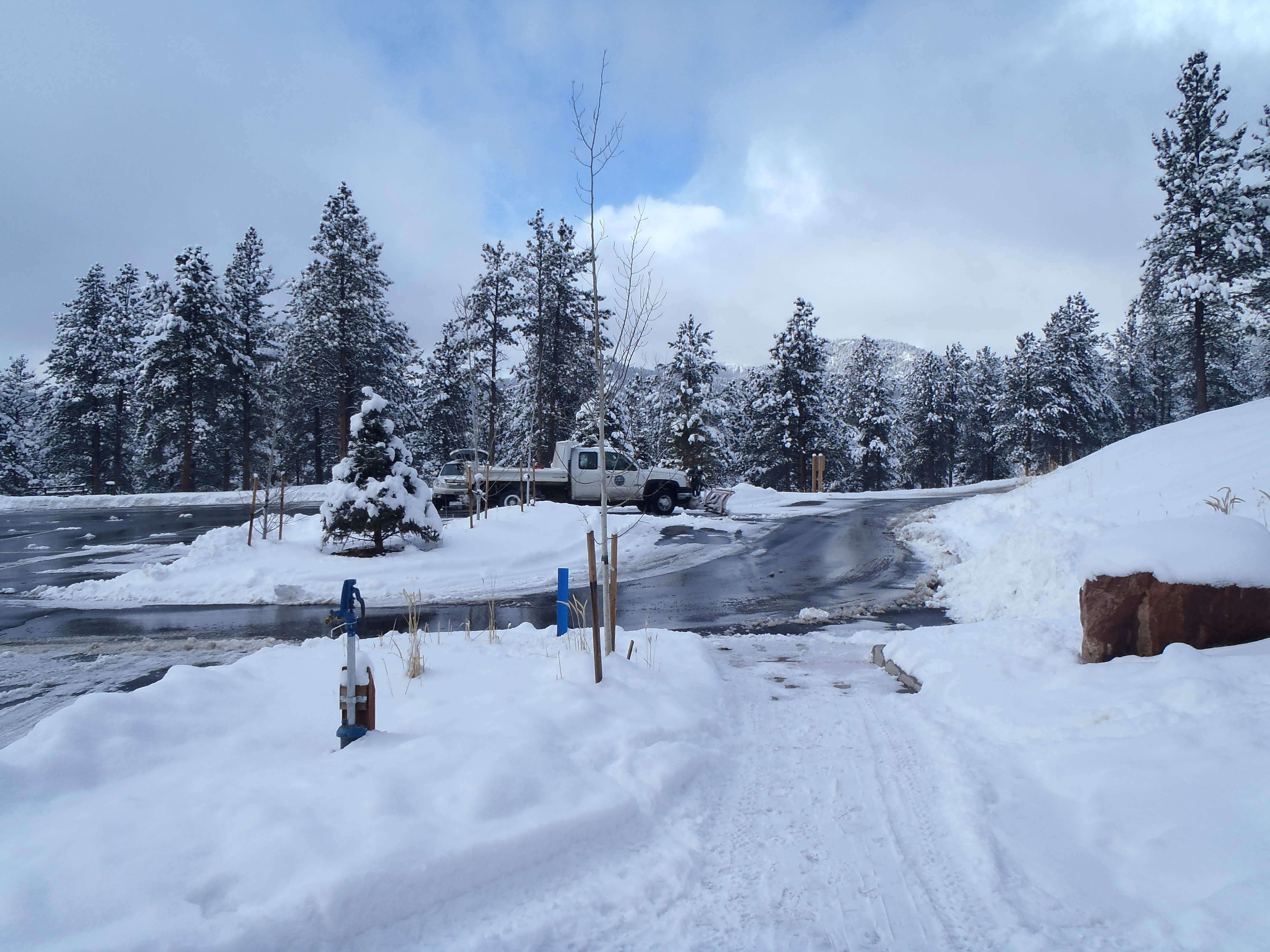
My biggest challenge after going to sea level is always getting my altitude lungs back, this past weekend I only had this one chance to get back up to 9,000ft in prep for our snowshoe this upcoming weekend. I had decided that Staunton State Park would be great to revisit as there were so many trails we didn’t yet explore and the trails we had done were pretty tame with altitudes between 8000-9500FT. What I hadn’t planned for was the 1-2 feet snow that started falling in the high country the 2 days before our hike and was set to continue through Saturday afternoon.
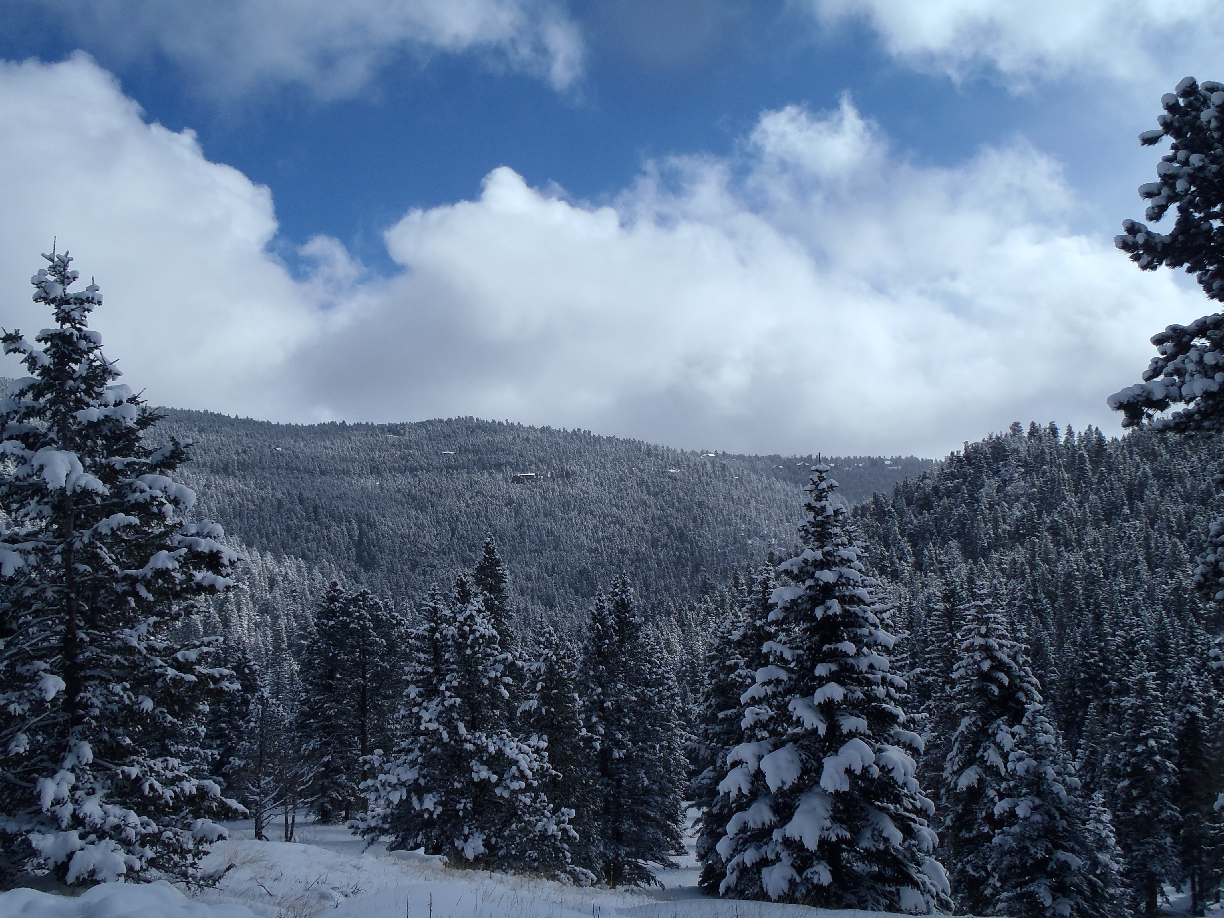
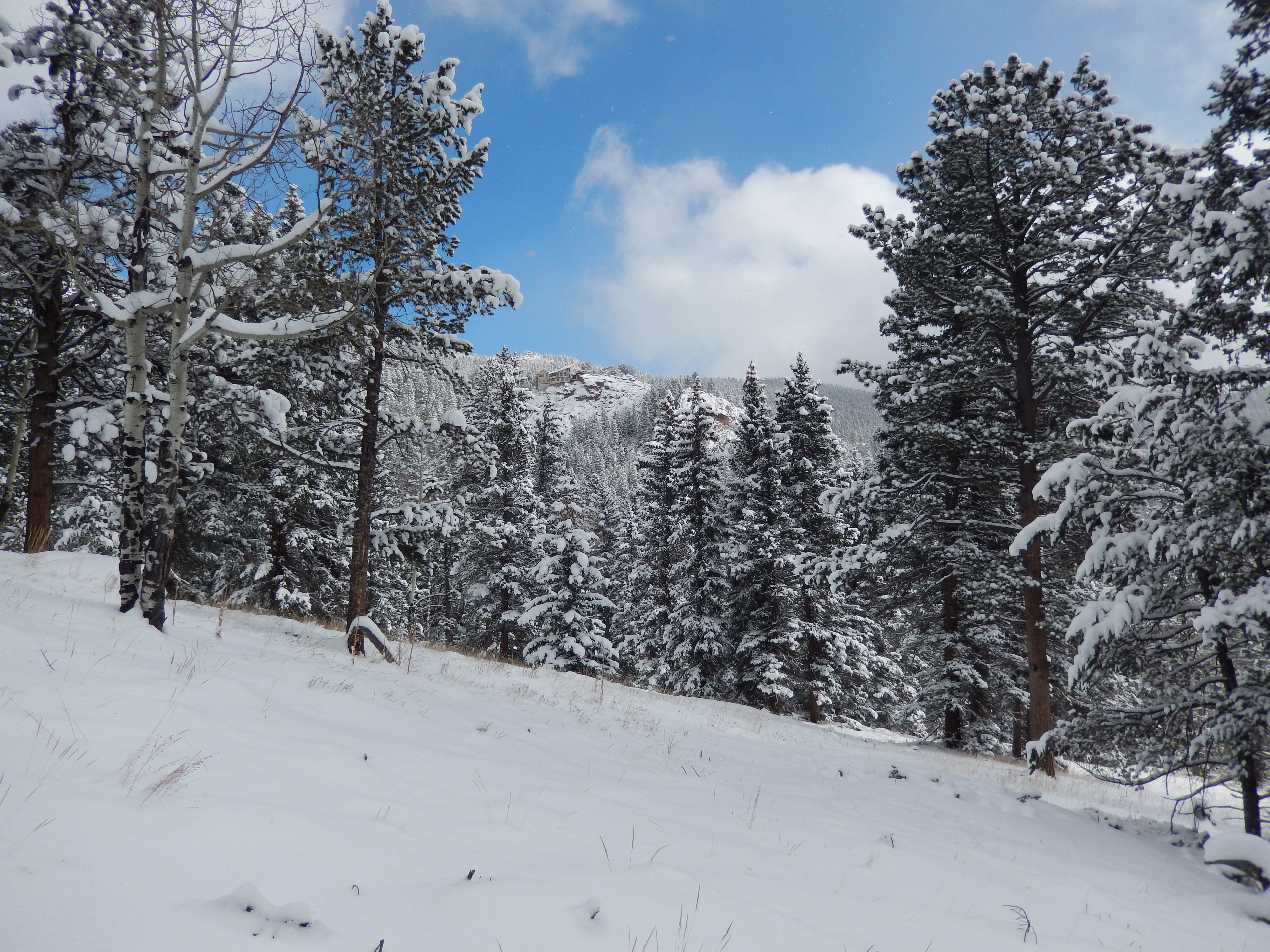
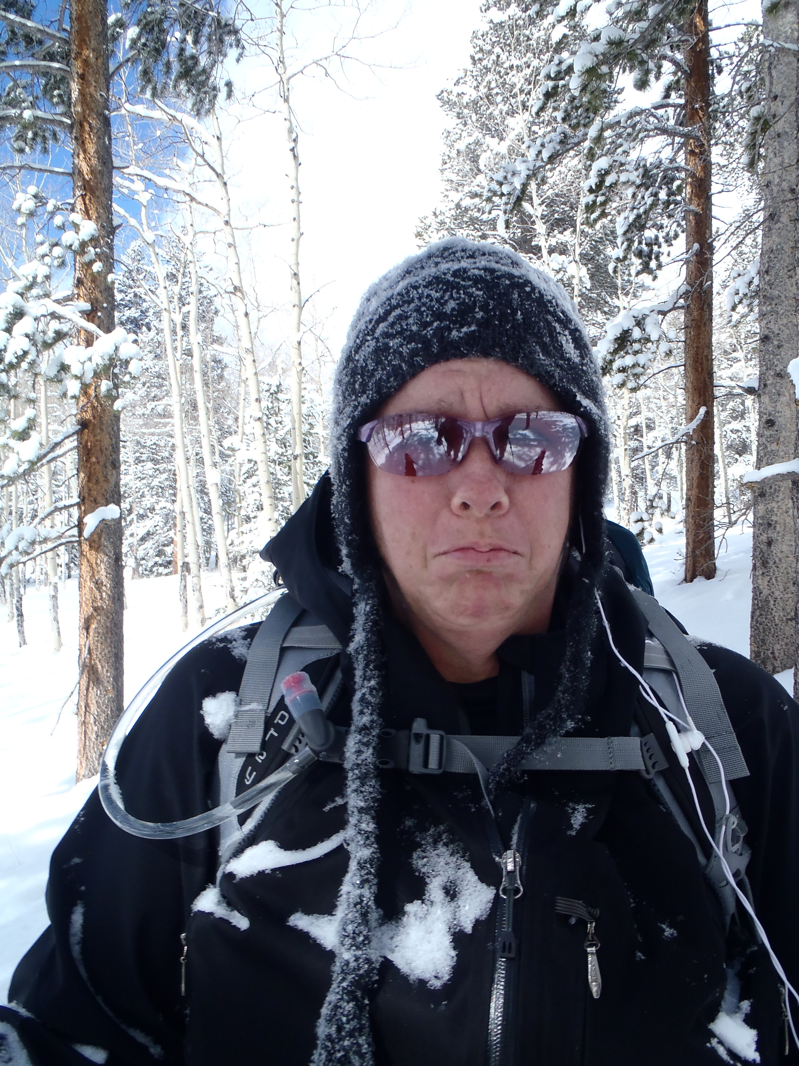
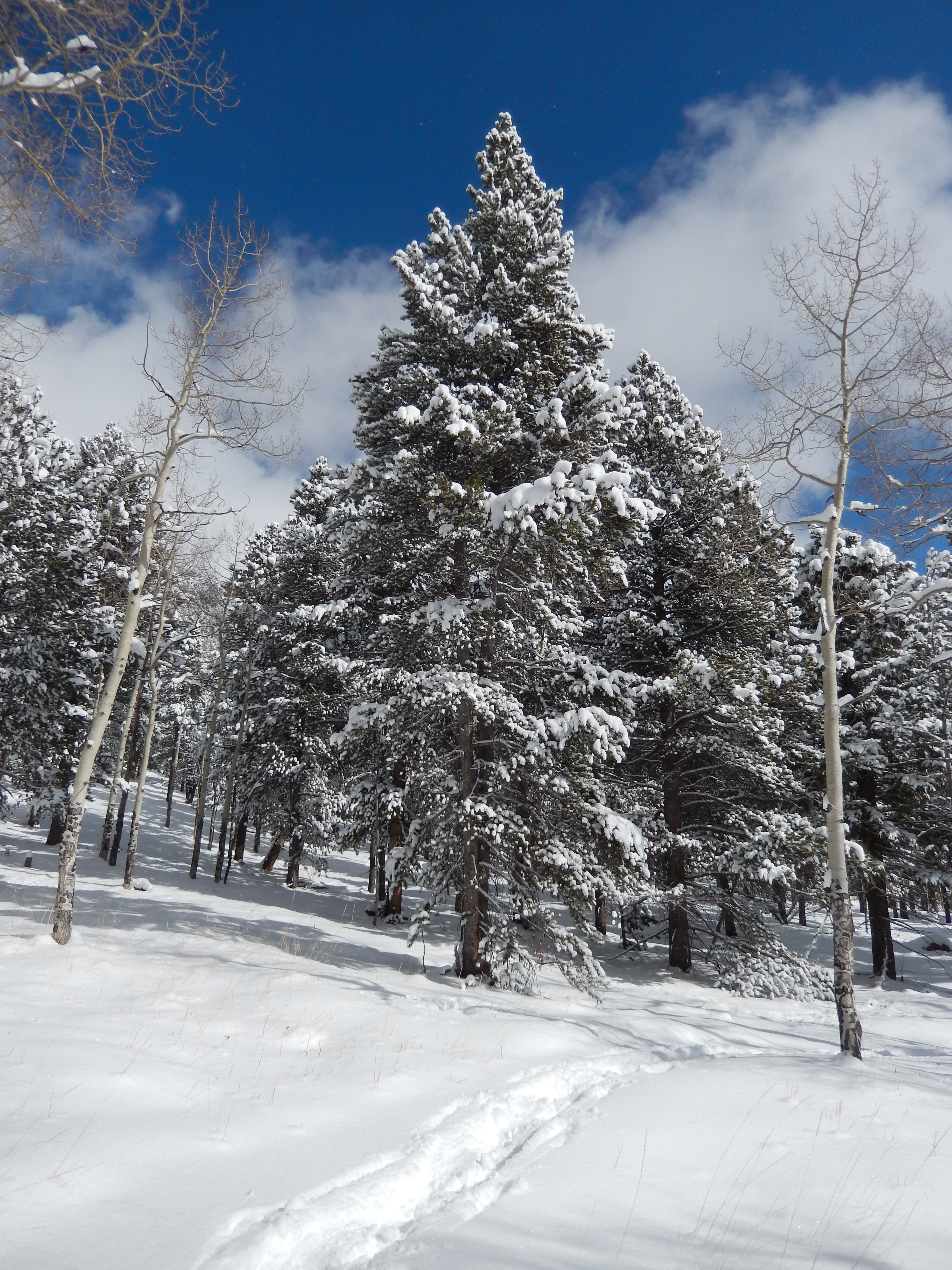
When we got to the trail head around 9AM, there was just one other car and we had passed a group of snowshoers who had not yet started their journey. As we bundled up, I will admit I was a little put off by how much snow I was seeing… I had somehow convinced my self that this area wasn’t hit as hard as other mountain areas. The bonus to that snow, everything was stunning! The sky was becoming more cobalt blue than cloudy, while it was still snowing with clouds moving and changing like crazy.


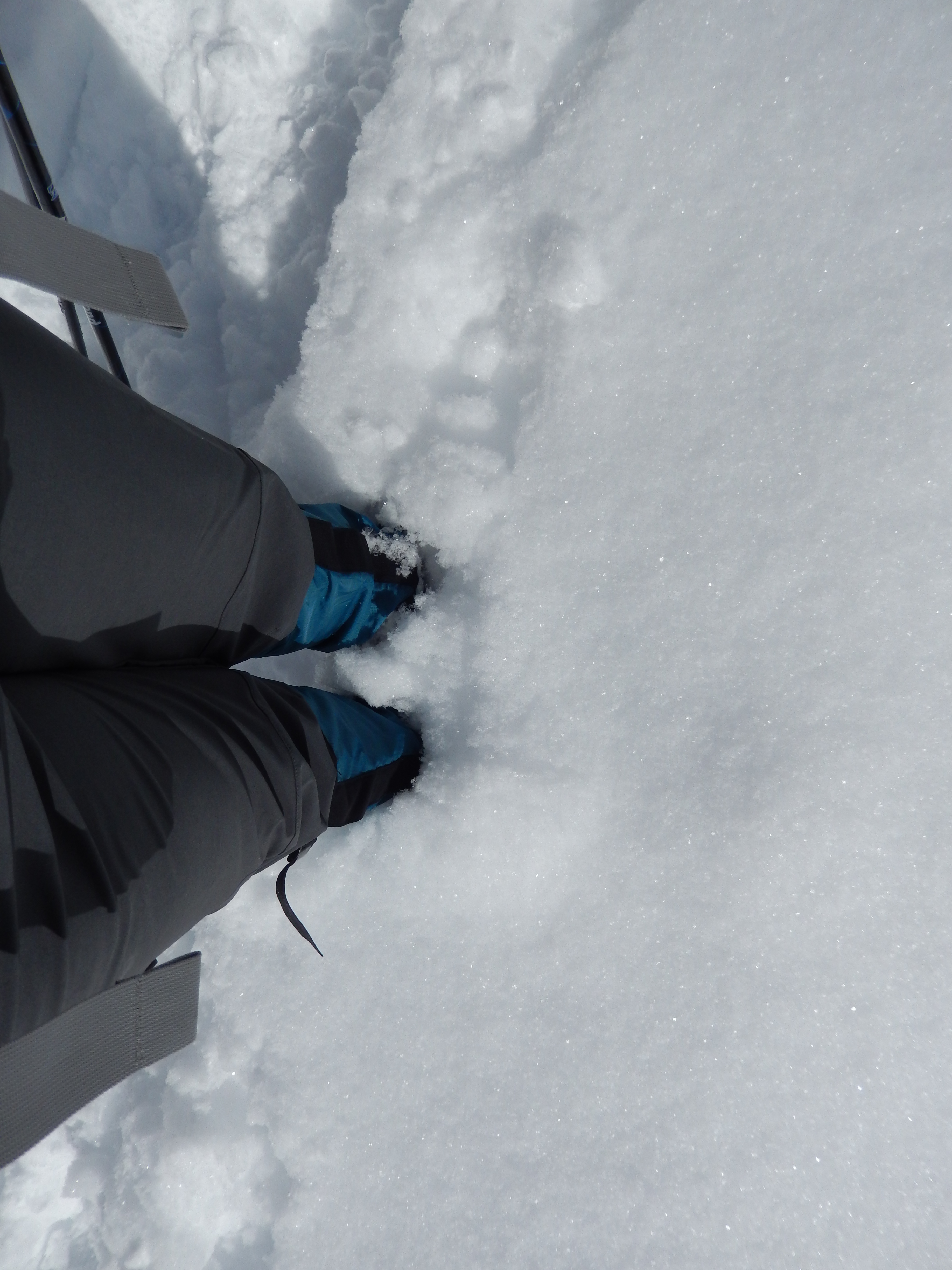
We started out pretty optimistic that we would be able to hammer out 11 miles, but planning on only doing 7-9 and it seemed possible that first quarter-mile. Then we had to start pealing off layers and at the same time the snow shoeing group passed us. They all looked so happy and fun. At this point the trail was somewhat broken in with traffic from either super early morning users or the day before, so there was only a couple of inches to really deal with.
As we moved on, I took a turn at being in front because I want to make sure that I take equal time in finding the path and getting us to our destination once we start backpacking. It wasn’t long before we passed the snowshoers as they peeled off layers. I didn’t think much of it at the time and just kept plowing through.
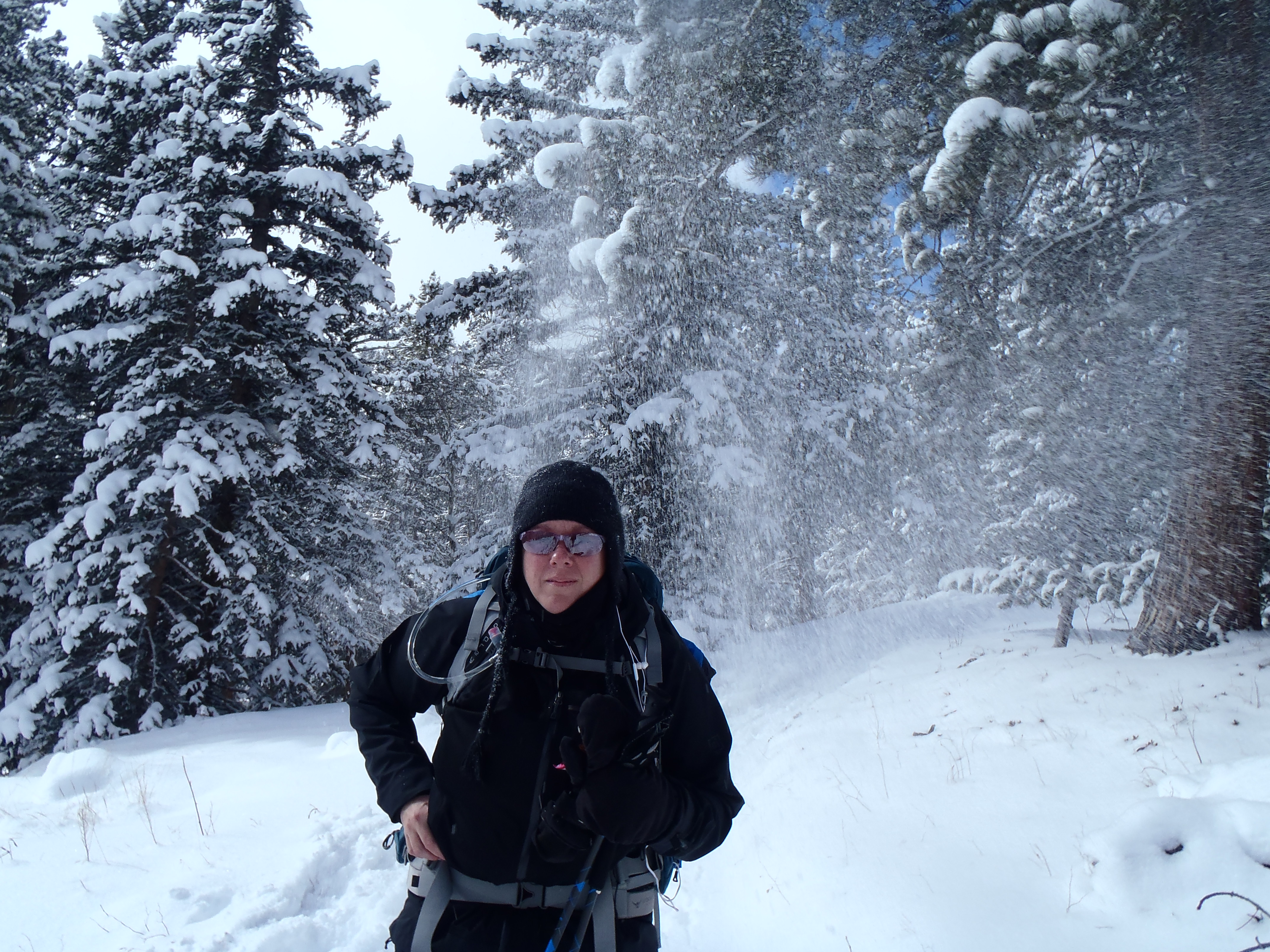
We really started to climb about half a mile after passing the group and then slowed down. The snow was much deeper, no one had come this way in a while, likely since before the storm and under the snow was not so fun ice. It was hard work! The trail moved along a nice ravine, the trees were heavy with all the snow but crazy beautiful…We pulled over to peel off another layer and the group of Snowshoers were there again. I was thrilled no more breaking trail for us…but then they stopped….right next to where we kindly pulled off the trail…. and waited. I admit at first I was wondering why they wouldn’t want to get ahead of us, but it turns out they didn’t want to break trail either.


I will tell you that this felt like the longest 2.25 miles I had ever hiked and when at just over 2 hours we hit that trail marker for halfway on the Mason Creek Trail. I started laughing, knowing we would be lucky to make the shorter loop I had planned, let alone do anything more than 7.5 miles. Oh and clearly at the halfway sign was where everyone had been turning around, there were NO trail prints after this sign.

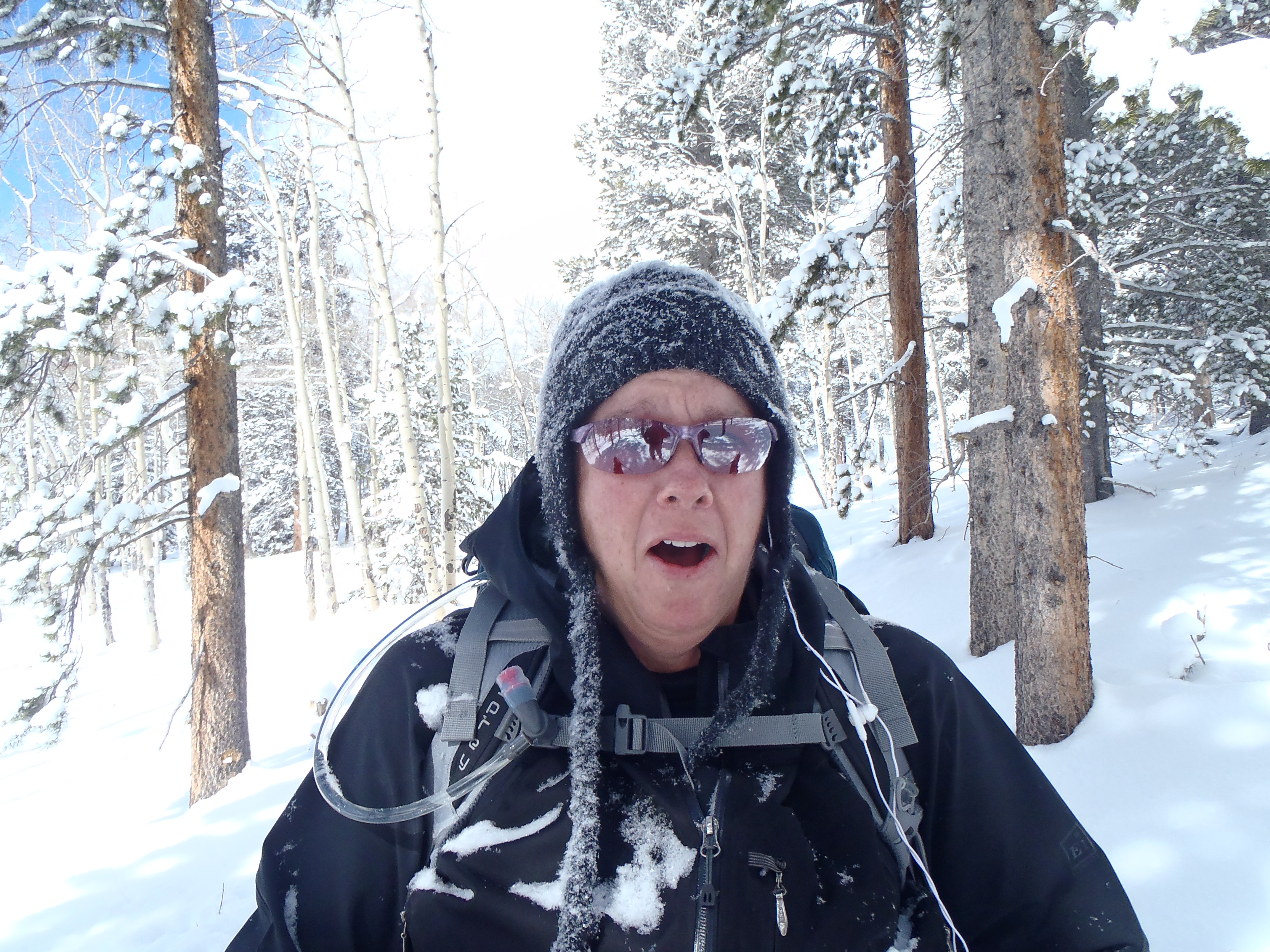
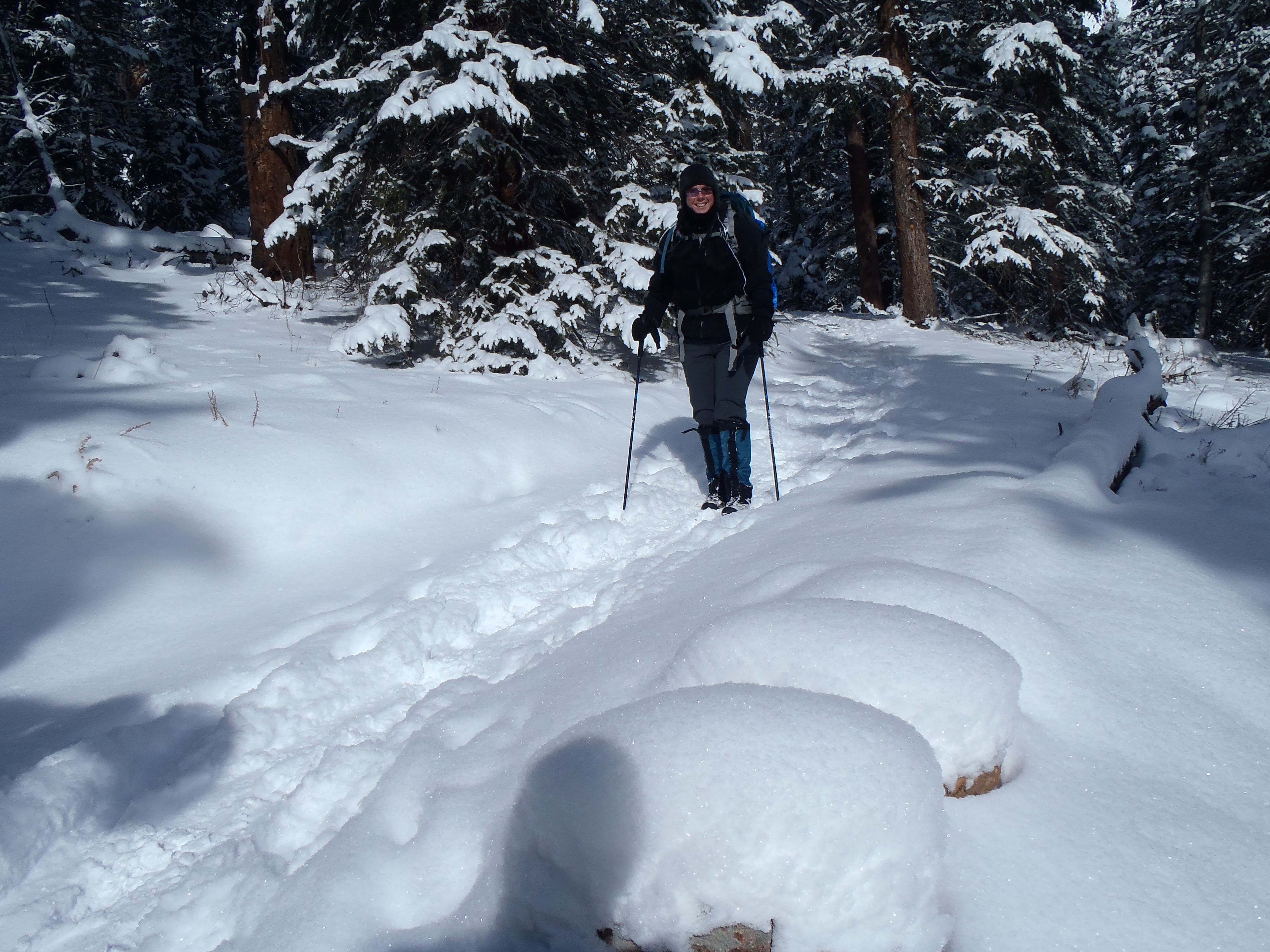
We went just 3/4’s of a mile further and my legs were straight up jelly mush, we were taking pictures of a pretty aspen grove(aka – catching our breath) when I had a heart to heart with myself. If my legs were in this shape and we weren’t even half way through, how likely was I to hurt myself if I continued on. It was then that I called the hike and we headed back. I am glad I did, as on the way back down I did indeed fall but it wasn’t too bad.The best part of the day was insane beauty all round us! We had moody skies with breathtaking blues, grays and whites. The snow-covered surroundings made me feel like we were in a fairy tale of some sort, we even had some serious snow fall as we were hiking at one point. And the treevalanches ( when the snow all falls off of a tree for no apparent reason) were fun to try to catch with the camera… until one caught me… all down my back …. with all my base layers showing since I was so hot from the climb and trail breaking. Surprisingly Aaron caught it on film…


After 4 hours of hiking just 6 miles we headed home a little defeated and a lot worked out, we wimped out our Sunday hike and just enjoyed the sore muscles from Saturday. After the directions are some of our favorite pictures from the day.
Where ever you are, I hope you get out and hike soon!
Directions: Take US Highway 285 south to Shaffers Crossing, about 6 miles west of Conifer. Turn north on Elk Creek Road and follow the signs 1.5 miles to the park entrance


Beautiful pictures with all of the snow! Makes me want to get out and do some snowshoeing!
Thank you! We are pretty excited for our guided snowshoe this weekend, especially with all the snow in the mountains lately!
One of our favorite trails in the park! In the summer little Mason Creek cascades next to the trail as you work your way through the thickly wooded spruce and fir section. Tiny waterfalls, shady, nice resting spots. It is a great trail. Next time you reach the second aspen grove, look for all the signs of bear claws up on the trees. This is the area our resident black bear family resides and their cubs learn how to escape danger via the aspens. Thanks for cutting the path. Sandy and I will head up there and see if we can take it a bit further!
It was beautiful!!! I cannot wait to do it again in every season! There was another couple who snowshoed right past us a few minutes from when we turned around. I am not sure how far they went but they made great time!
Gorgeous hike, Kathy! Love the look on your face after the treevalanche hit you. 🙂
The treevalanche was a both hilarious and sucky but fortunately I prefer to laugh! It was a great day to bel ut there hiking!
We trudged thru some snow up at Mt Charleston today. Made a short hike take forever! 🙂
ugh! snow is wicked like that… but for the record…snowshoes ROCK!!!
Can’t wait to read about your snow shoeing adventures.
I was in northern New Mexico this week and did some cross country skiing. You’re not kidding about having to adjust to the altitude! Now that I’m back on the prairie, I may run like a Kenyan for a few days!
When I go back to sea level I am like an energizer bunny!
I recovered pretty fast this time which was so good! Did you love New Mexico?
LOVED northern New Mexico. It’s one of my favorite states. I love the variety of the landscapes there. It was nice to be in the mountains again.