
Turkey Trot Trail -> Castle Trail -> To the top Parking lot and then back down the Castle Trail -> Turkey Trot Trail
Starting Elevation: Approximately 6400
Highest Elevation: Approximately 7600
Trip Length: 8.2 miles based on the trail map, my fitbit said 10 miles. It took us approximately 3 and half hours.
Trail Uses: Turkey Trot is hiker only, but Castle is Multi-use Hiker, Biker, Horses (Oh and a crazy person going down on a unicycle.)
Fees: None
Rating: Moderate – difficult due to length and steady incline
Bathrooms: Yes at each parking lot.
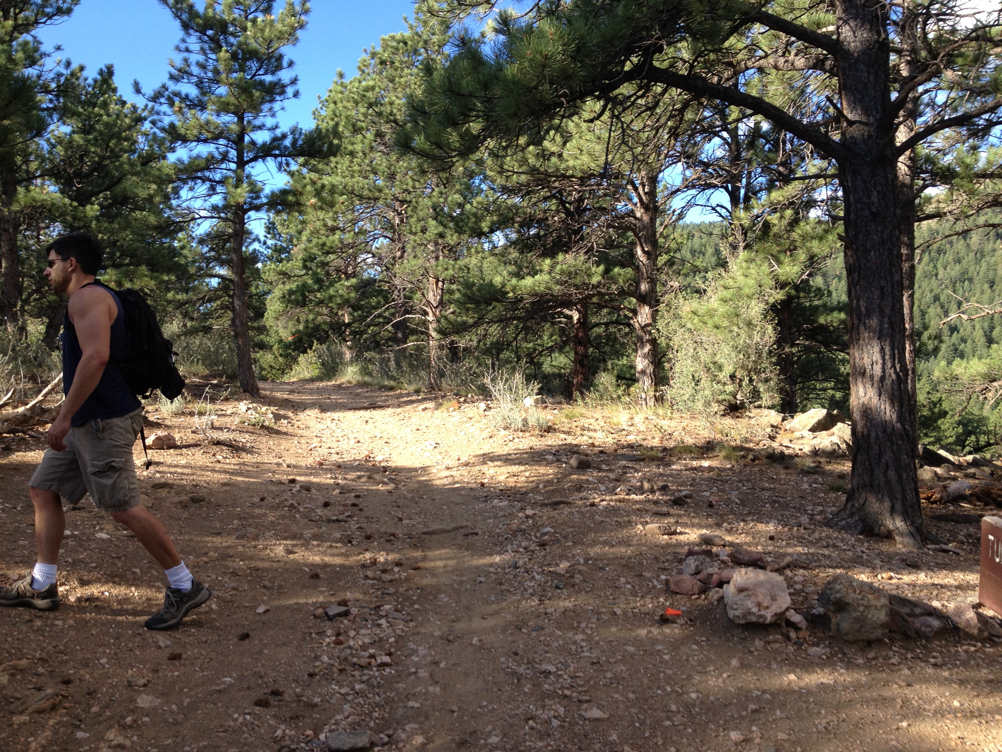
This hike is right outside of Morrison and you can see Red Rocks clearly as you climb Turkey Trot. We started at the East Parking lot

It was going to be insanely hot on the day we did this hike, so we got to the trail head at about 7:15 AM….Just as all the people who were doing the race were starting warm up. Its my luck lately, there was a 15K race that morning. So we started as quickly as we could up Turkey trot:

We were hoping that maybe the race would use the Castle trail and we were right, only they started an hour after we did so when we got to the trail turnoff for the Castle trail we were right in the middle of their ascent. If this ascent is not your thing, you could make a complete loop by heading down Castle trail for an almost 3 mile hike.

Once we got onto the Castle trail, the incline was a little tougher on this part, but the views were beautiful

And after we let a few more runners pass us, we were treated to an amazing sight on the rocky, technical path…..there was someone coming down the path on a unicycle, seriously a unicycle. We had to stop in our tracks and stare, if only I had been quick enough to take out my camera or phone to get official proof. I am sure it is a sight I will never see again.
We climbed up the trail to this trail spike off and then it evened out a little bit:

We stayed Castle trail past Walkers Dream and climbed a little higher where the views were even better up here and most west-facing. There are even ruins up here from an old ranch, but right at that spot in the path there was a water station for the race so we just kept on moving:

Were almost to the top and most of the runners had passed us, finally, we continued up to the Parking lot up at this part of the open space ( to use the bathroom). Enjoyed the view for a little bit and then started back down…..As it turned out we timed it perfectly so we were headed back down with most of the runners ( sigh):

This is a great hike, although pretty exposed so in the summer it best done early in the morning or early evening. There are a whole set of trails at the top parking lot, and they attract a lot of people and seem to be mostly easy with maybe a few moderate trails. I am pretty sure if you don’t end up here on a race day going from the bottom parking lot up, the traffic is usually light and maybe you too will see the guy on his unicycle ( still amazed).
We will definitely come here again, I think it will be better in spring or fall possibly even a good winter path given the sun exposure.
How to get there:
West Trailhead 21004 Mount Falcon Road, Indian Hills CO 80454 To access the park, take the Indian Hills turn-off from U.S. Highway 285, follow Parmalee Gulch Road for 5 miles to Picutis Road, then follow the signs to the west parking area. East access 3852 Vine Street, Morrison CO 80465 is available from Colorado Highway 8 south of Morrison. Turn west on Forest Avenue and north on Vine Avenue.

4 thoughts on “Mt. Falcon – Jefferson County Open Space Hiked 7/28/12”