

Continental Divide Trail to> Mines Peak Road> Mt. Flora Trail > Traverse to Mt. Eva
Starting Elevation: 11,315 Ft
Highest Elevation: 13,132 Ft ( We had a total elevation gain of approximately 2800Ft)
Trail Length: Officially, if we had finished 10 miles. We Turned around about a mile short of Mt. Eva so officially we got 8 miles but my fitbit said we got about 10 miles anyway. We spent 5 hours hiking total.
Trail Uses: Hiker only after the road
Degree of difficulty: Strenuous – Mostly due to Altitude & Length
Bathrooms: There is one at the Berthoud Pass parking lot, but keep extra supplies handy, it is popular.
Pets: Dogs are allowed on the trail but they must be leashed.
Fees: None

We did Mt. Flora ( Details here) last September, it was our first and only 13er and a huge achievement for us. Unfortunately it was also our last because snow moved in, then moved in again and again. We are really close to our planned 14er and so this seemed like a good way to visit Mt. Flora again and do additional peaks, elevation gain, mileage while getting progressively higher in time to do our 14er next week. I read about this trifecta of peaks in my Colorado Mountain Club book, we had already done Mt. Flora so seeing the other 2 peaks felt right.
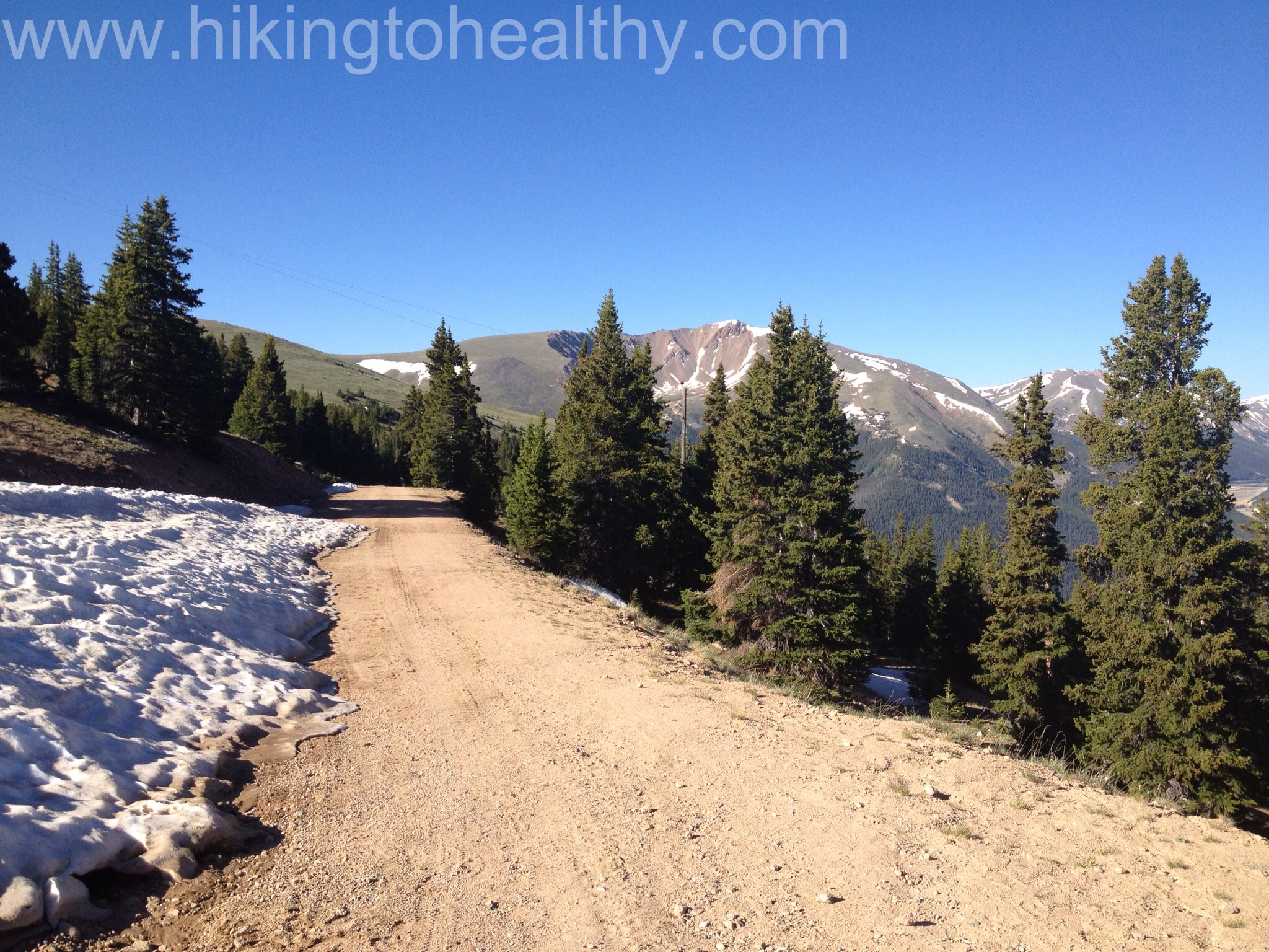
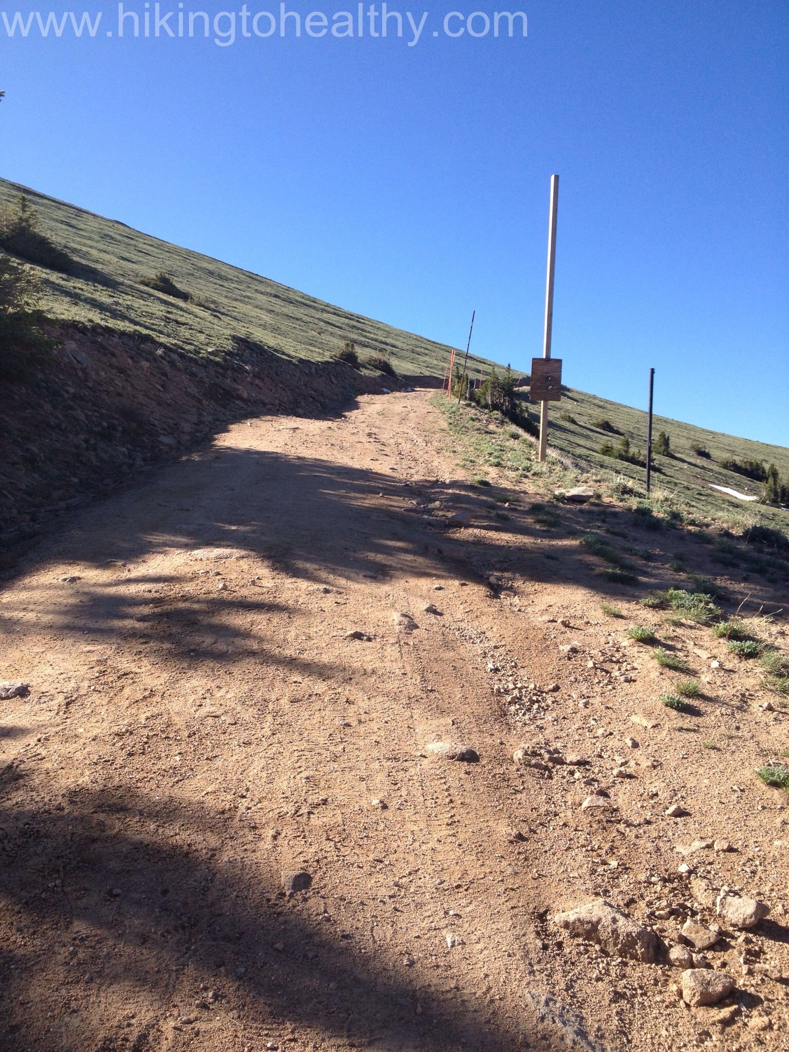
We started a little later than we wanted to at about 8AM but jumped right in, we cranked it up Colorado Mines Peak road in just 50 minutes. That is 1178 ft of elevation gain in just 1.3 miles.

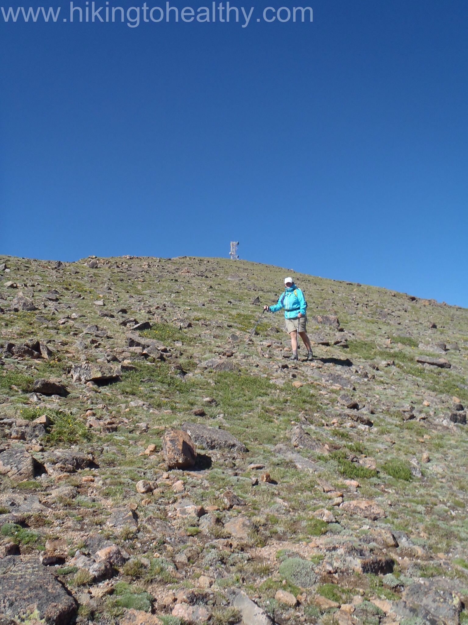
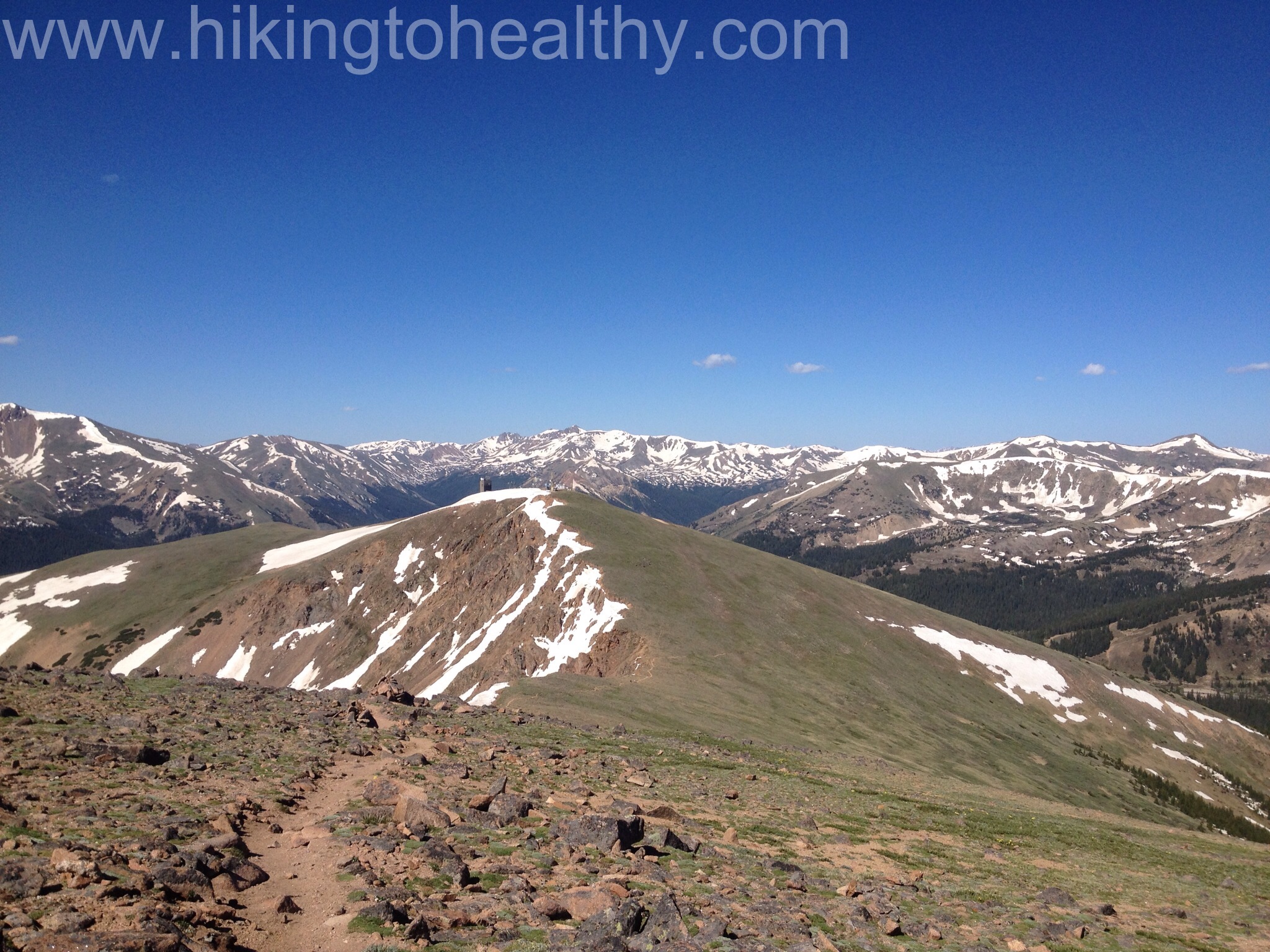
The top of this peak is not very exciting as it is full of buildings and antennas, but the views are beautiful. We didn’t spend too much time here but still managed to not find the official path down to the Mt. Flora trail so we just went down close to the ridge line since we could easily see the trail below. On the way back from Flora we clearly saw the correct path coming off of Mines, if I had to guess it is straight North from the main road once you get to the top.
It was is almost a 40o ft decent, and the wall of snow hanging off of the ridge line was impressive.

We pretty much had Colorado Mines peak completely to ourselves up and then again down, but as we were going down to Flora we could see 3 groups of hikers on that trail already. As we started on the Mt. Flora trail we keep our aggressive pace and in no time we made it to the top. At the point we hit the top of Mt. Flora we had been hiking for 2 hours 20 minutes, 25 minutes less than it took us last time and we had already added elevation and mileage to our hike.

Again we didn’t spend too much time on Mt. Flora as we were anxious to get over to Mt. Eva and to us it looked way further away then 2 miles.


There is no defined path to Eva you just follow your eyes over to it, we kinda went up 2 un-named peaks and then followed a couple cairns down the ridge line, again. Each one looked like an inverted path below but when we got there we were oh that makes sense and moved onto the next one. It took us an hour to work our way almost a mile over and when we looked over to Eva it still looked more than 2 miles away.
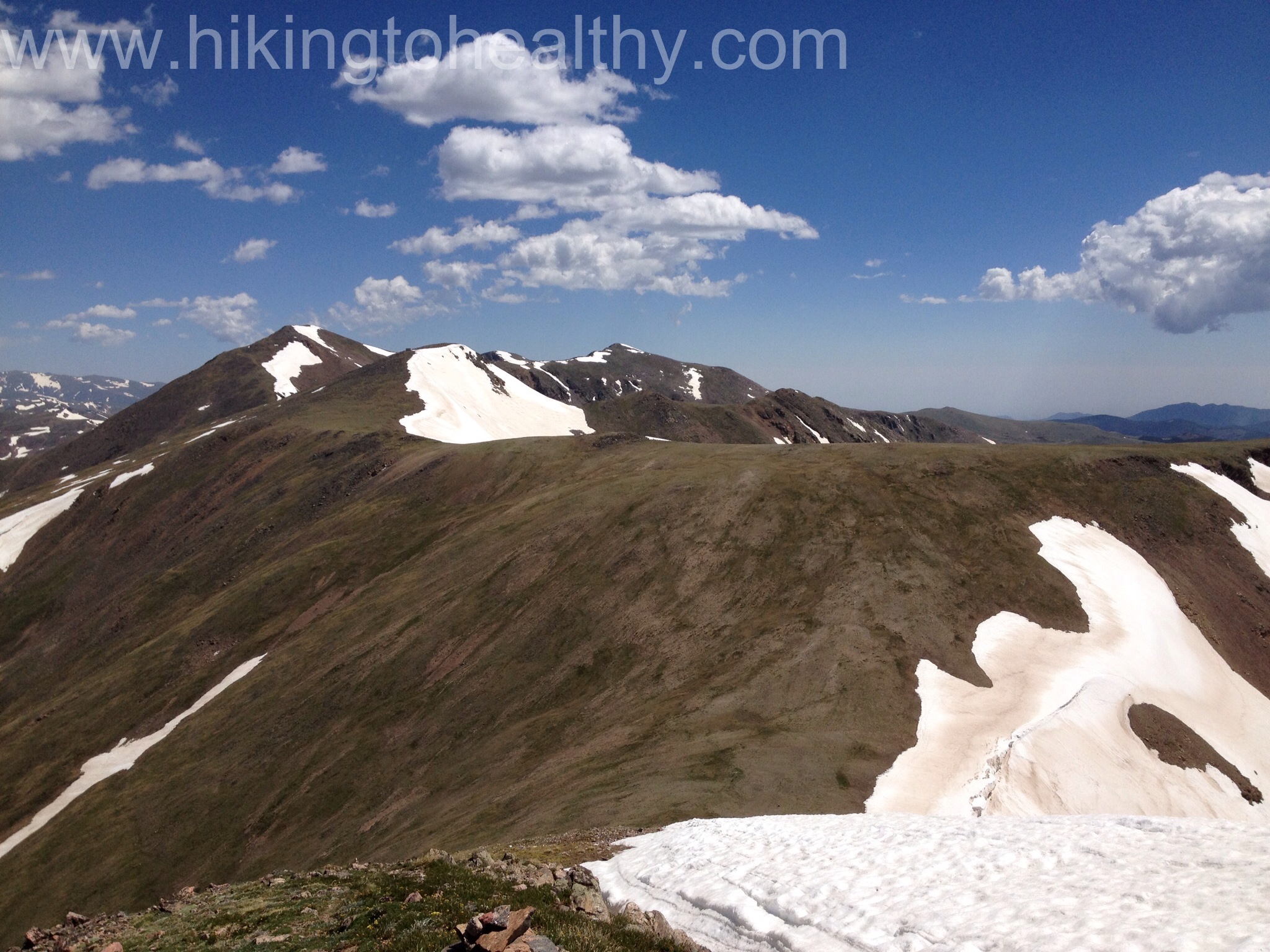
It was a tough call at this point, the way down looked REALLY challenging then having to come back up 6 hours into a hike seemed not the smartest for us. The wind had picked up and the smoke from all the wild fires was building up more, we decided that we would turn around and try it another day. We climbed back up to Flora even though we could have easily cut it off to get back to the parking lot, we just wanted a little extra mileage and elevation.
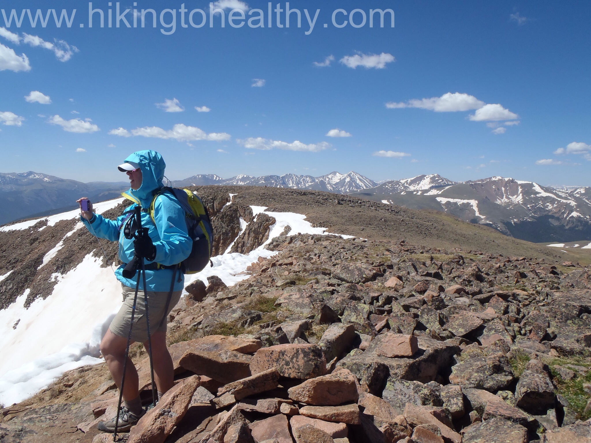
We felt great on this hike, the altitude was a factor but only in the beginning and then as we came to the top of Flora. We really moved faster than I felt we have for some time. On the way back down we encountered one snow field on the Mt. Flora trail and we were able to walk around with a little work.
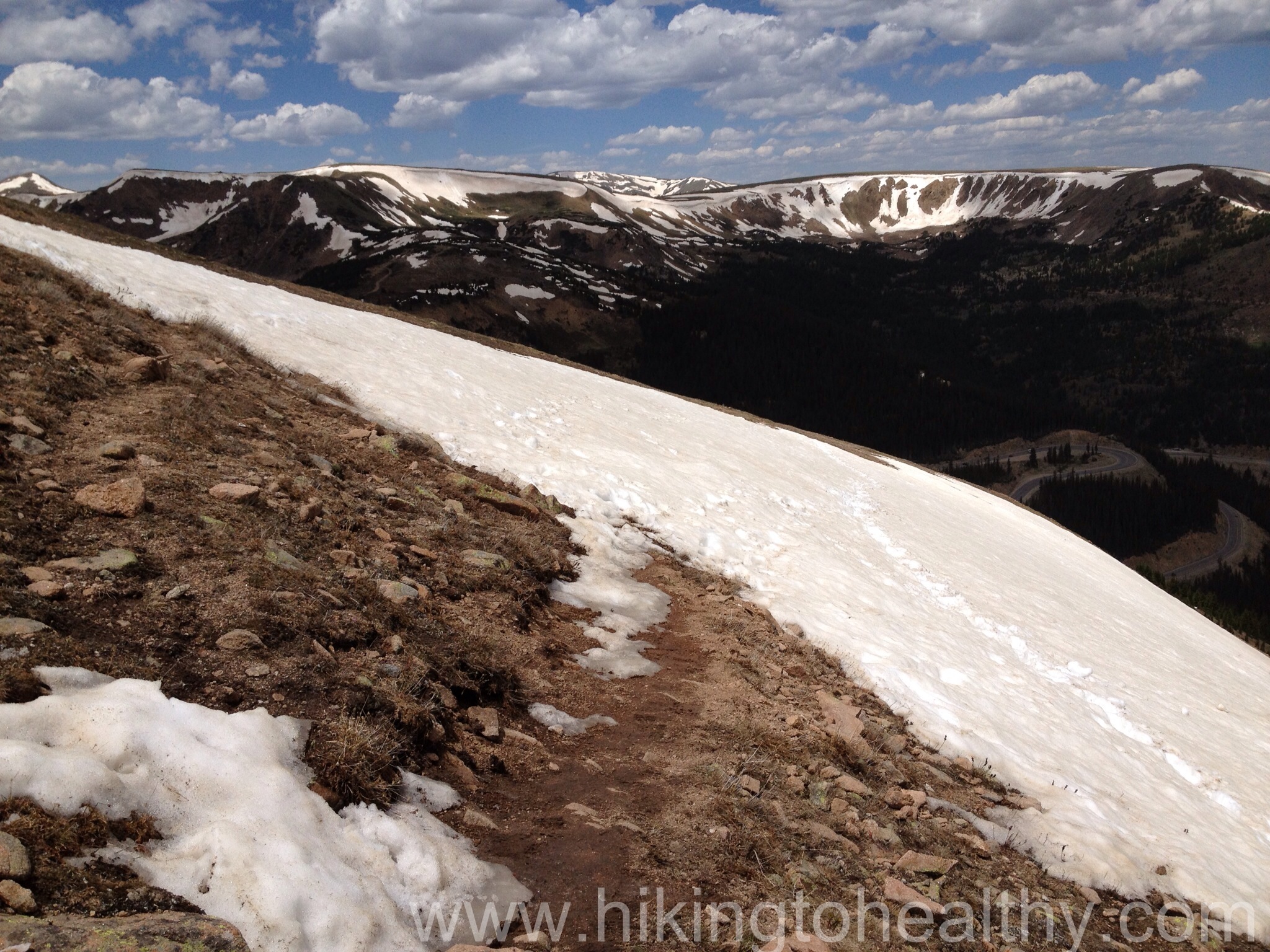
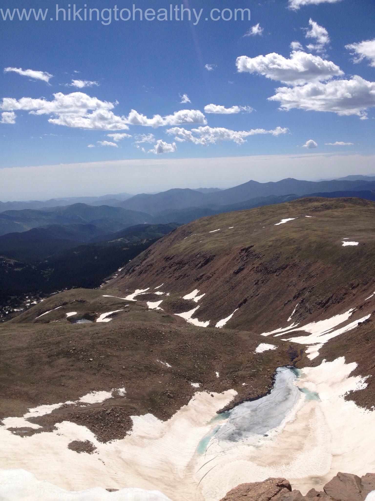
This is a great hike and one I know we will do again and again. We felt awesome in the way we climbed and how quickly we moved, so much better than the first time we did this hike. One thing I want to note is that this trail is a busy one and mostly above tree line, opportunities to relieve yourself are VERY tricky and use lots of sunscreen ( just sayin). After the directions will be our favorite pictures from the hike. The ones with the shadows are from Colorado Mines peak.
Directions: Take I-70 west to exit 232, US 40 west. Follow US 40 for approximately 14.4 miles up through Empire to the top of Berthoud Pass. You will see Berthoud Pass Trailhead Parking lot there on your right and you are at the trailhead.


Reading this, and knowing your long-term goal was to bag a 14er summit, I’m here to tell you that based on what you did on this hike you are ready. Have a great ascent, go get that summit!
Yay!!! Thank you!!
Wonderful photo-journal of your hiking journey. Beautiful captures showing those rich summer colors in the Rockies on a fair day. You guys truly are hiking to healthy – you look great! Keep on. Love this blog!
Thanks Mike! It is a beautiful hike!
Oh and ditto on the mountain flora, some of the most unique and colorful flowers, mosses, and miniature plant structures in the world.
I am constantly amazed at all the different flowers we see on each hike!
Amazing ! Just amazing. I am thinking this is the best Post ever!!!!!
Wow! Thank you Bob! That is so nice to say, it was a great hike!
I love these blog write ups covering such an amazing place. This is the kind of scenery we see on TV over here – to be able to actually walk in it must be a true pleasure!
It is Rob and exactly why we moved here! But if I were honest I think the same things about your hikes and the beautiful pictures you post!
This is awesome! Very inspirational to us. Thanks for sharing
I hope you check it out, it seems like you both have been hitting a lot of the same trails we have been drawn to, I think you would like this one for sure!!!
Looks like the weather was perfect! Great pictures!
It was perfect! Thank You!