
Starting Elevation: 10,075 Ft
Highest Elevation: 10,221 Ft
Trail Length: We did a total of 6.5 miles round trip but you can take this trail all the way to Frisco for 10 miles one way.
Trail Uses: Hiker, biker, cross-country skiing, snowshoe,
Degree of Difficulty: Moderate to difficult depending on how far you want to take it.
Fees: None
Bathrooms: None at the trailhead but the Grand Lodge on Peak 7 is a resort right next to the trailhead and does have public bathrooms
Pets: Yes – I think they are supposed to be on leash but there were some(most) not on leash

Three years ago we impulsively bought a time share in Breckenridge and because we have spent that money I make sure to always take advantage of it when I can. They offer something called bonus time to owners, which means when the resort isn’t full they sell the rooms for a third of the cost they normally are. This past weekend was one of those weekends there was availability via bonus time and on top of it if we sat through another sales pitch, we got the room for 2 nights for $38. Needless to say we took advantage of the deal. The best part of the stay is that this trail we wanted to do is right next to the resort…. well that and the hot tubs.


The not so great part is the resort allows pets and guess where everyone comes to walk their dogs…. this trail head, where apparently none of them ever bother to pick up after their dogs. It was a poo minefield for the first quarter-mile, it was actually hard to miss stepping in it all while walking through this first section.
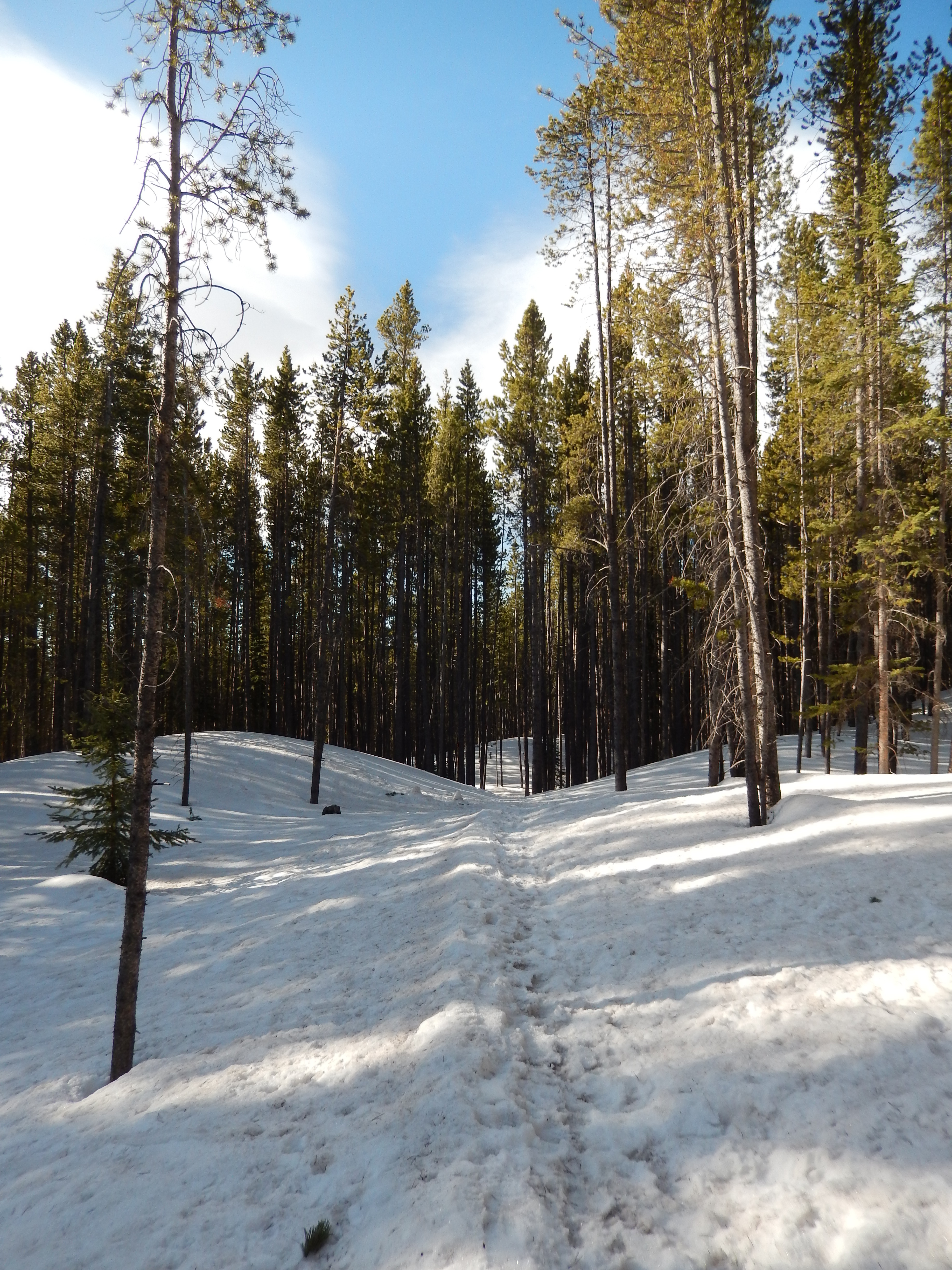
We were out on the trail just 30 minutes after we got up, at 7AM. The snow was icy and stable so all we needed for most of the hike was traction devices. The sky was the most beautiful blue, I don’t think the day could have been more perfect for us to be out hiking. After the poo-field, the trail goes up a little, then down a little then up and down some more. Nothing too crazy but a good workout on snow and ice regardless.
We came to this road a little less than mile in, but the trail was well-marked on the other side.

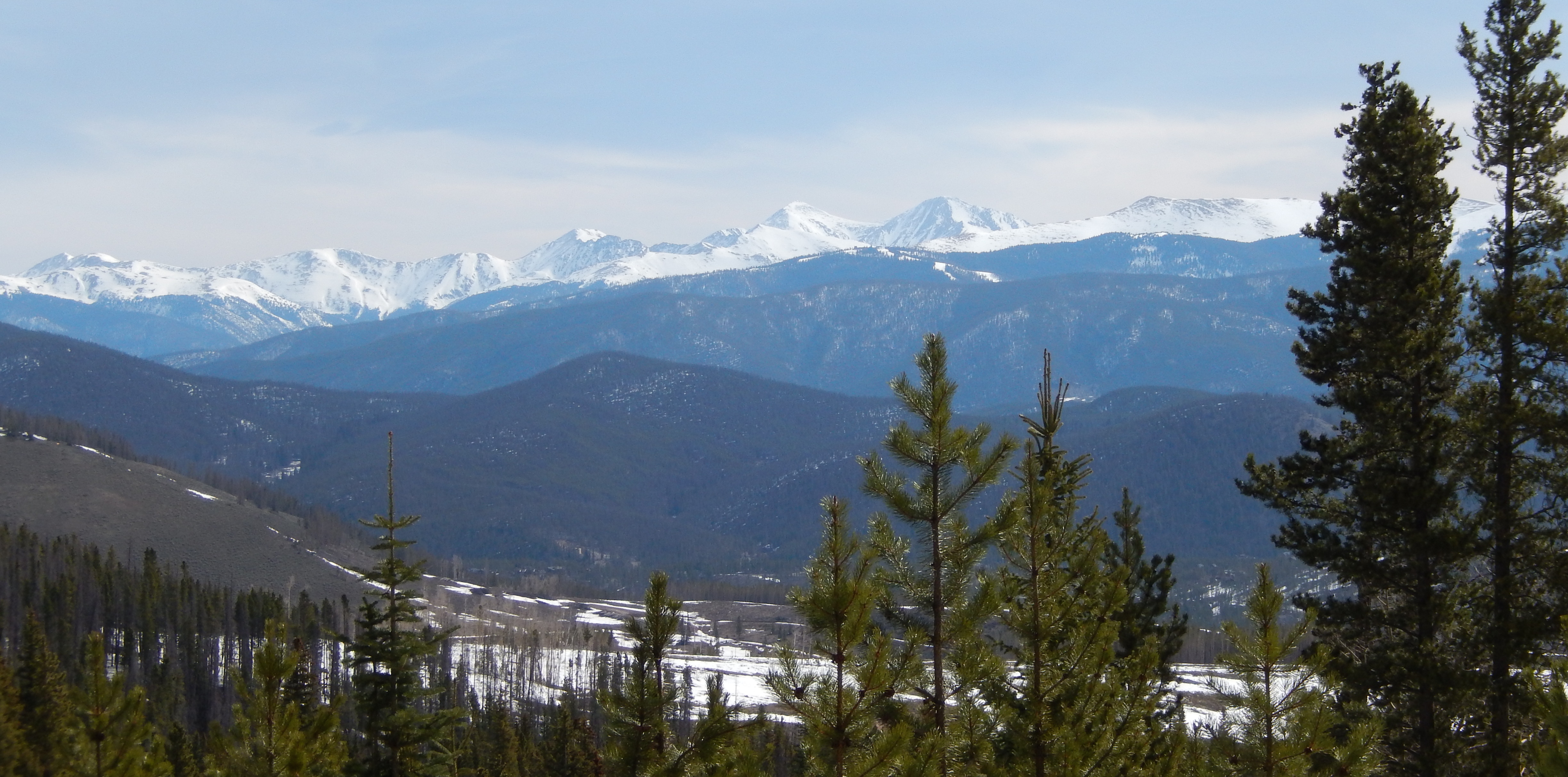
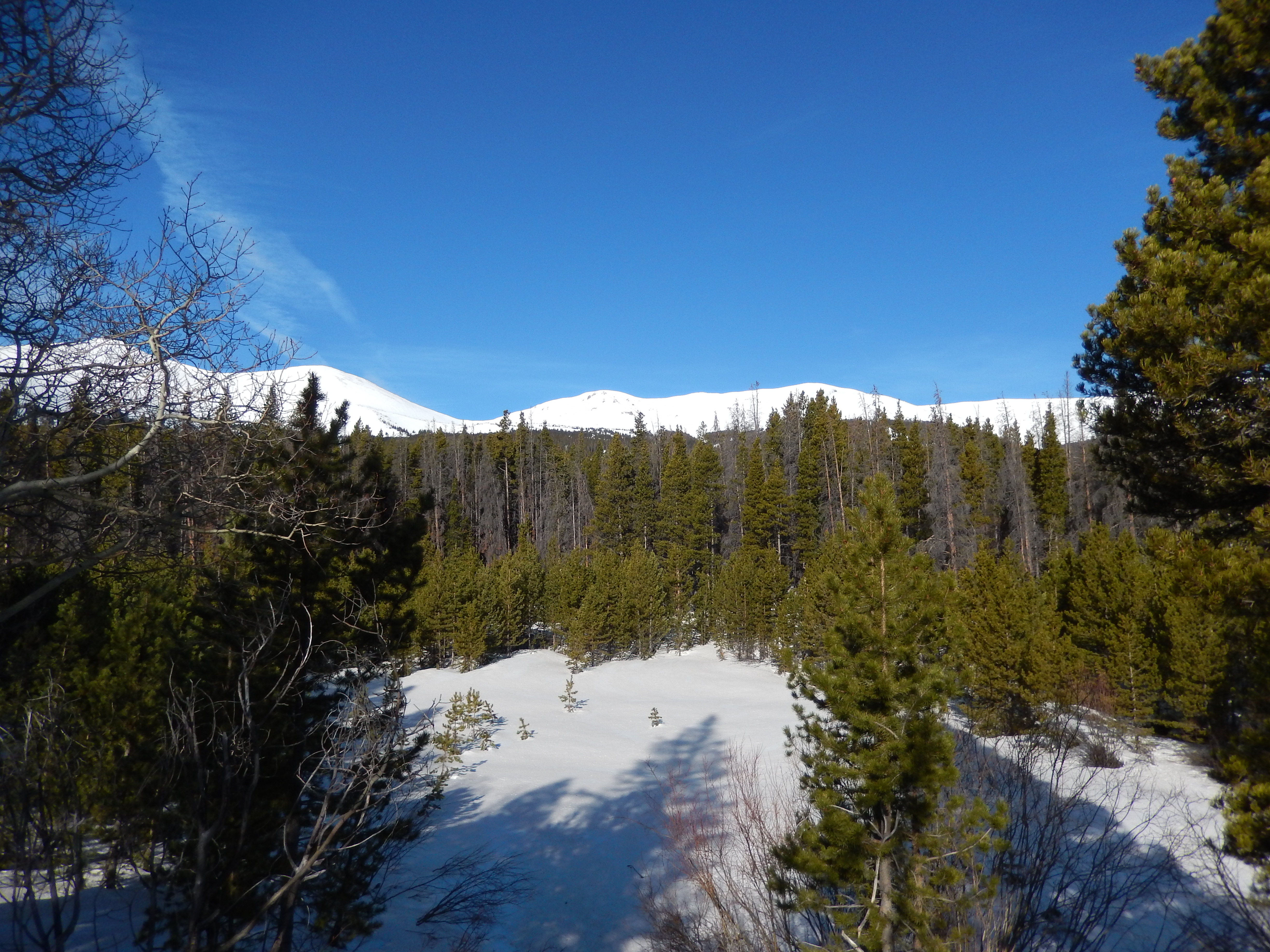
It isn’t far from this junction that the views just open up on both sides of the trail.
We started to hear the melting snow all over and then we crossed over a snow melt stream, this one is the first of 3 or 4 we would cross from this point forward and while the picture doesn’t quite capture it, we are 4-5 feet above the stream on snow

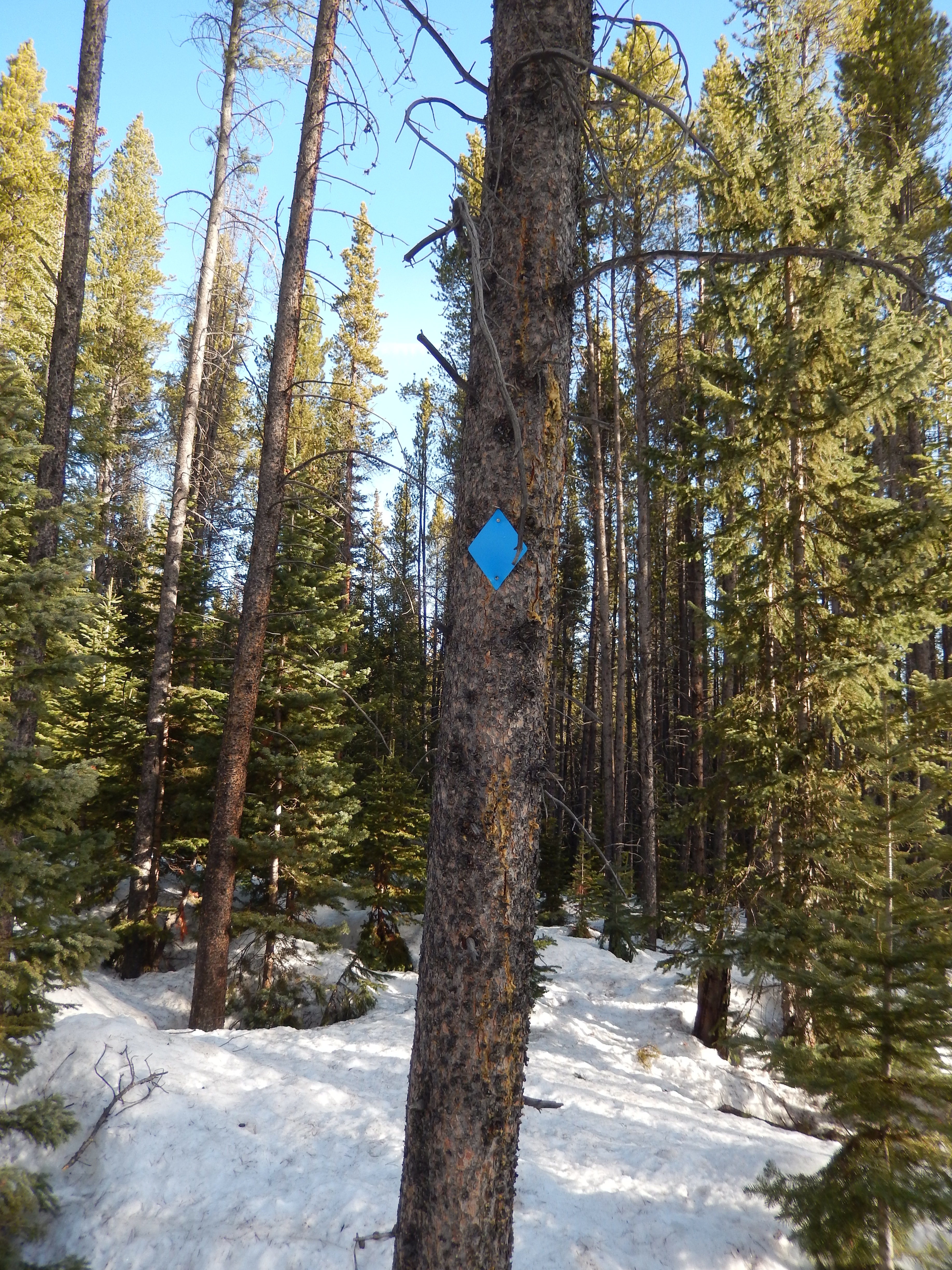
It was just after this we ended up on a Nordic Center snowshoe trail, which threw us because we didn’t remember seeing a trial break. Fortunately, I had sort of remembered from our snowshoe at the Nordic Center(snowshoe details here) that there was one part of the trail system that merged with the Peaks Trail so we kept moving forward and kept an eye out for a blue diamond. I do have to say when it went off on its own there was absolutely no snow the way it went, I was a little jealous, I am definitely done with snow.


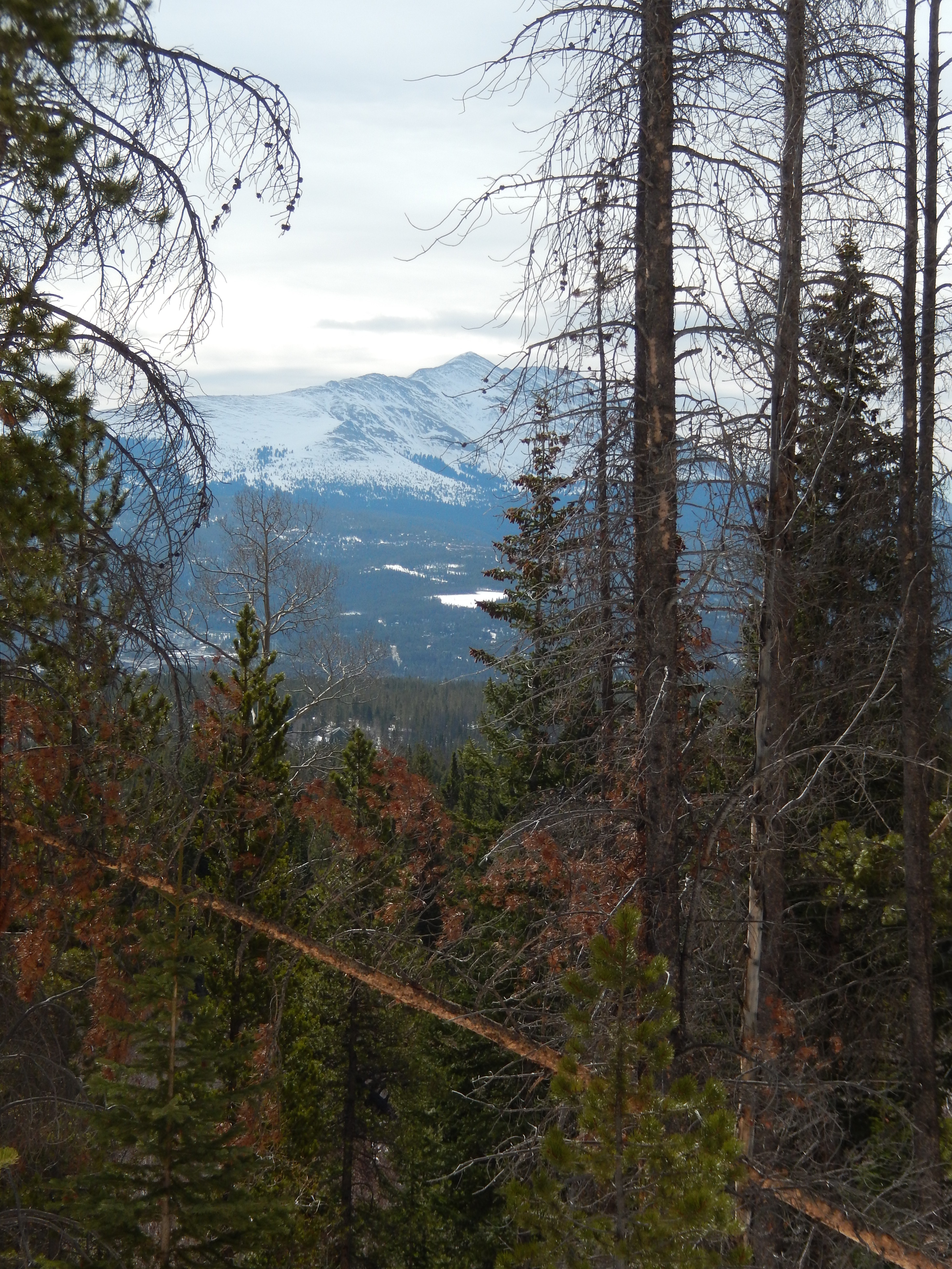
We continued on and got the absolute best views of the day in the next section which was pretty flat until it started to descend to the three mile marker and this beautiful pool about 6 ft below us but the picture doesn’t show how high the snow was.


We felt really good and almost went further but we didn’t want to go too far and then spend hours post holing back to the trailhead. Instead we decided to turn around and promised each other to walk the 2 miles down to town for a little extra movement. We did walk those 2 miles to town and around town for a total of 12 miles over the course of the day which isn’t too bad.
This trail was spectacular and I cannot wait to try it in the summer or fall, the trees were perfect, the views amazing and frankly I would love to say I walked to Frisco on it. You can really get out of it whatever you want, just make sure to go a mile to a mile and half in so you can see the best views possible,
I hope whatever your plans are for the weekend, they involve hiking!
Directions: from I70 to Breckenridge take 9 to Lincoln/Ski Hill, turn right. Take Ski Hill for approximately 2 miles to Grand lodge on Peak 7 – drive just past the Resort and follow the road, as soon as it is unpaved you will see the trailhead on the left.


Gorgeous! This post makes me want to head to he forest!
It was one the prettiest forest hikes I have done in a while, it felt like I was in a fairytale!