
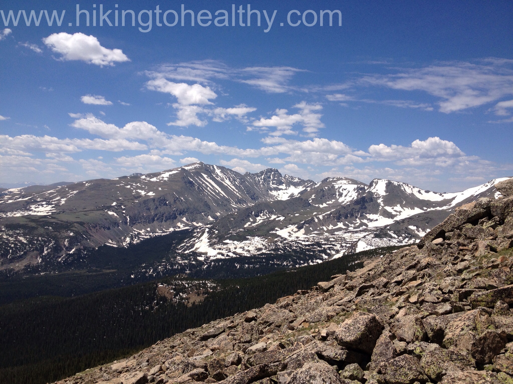
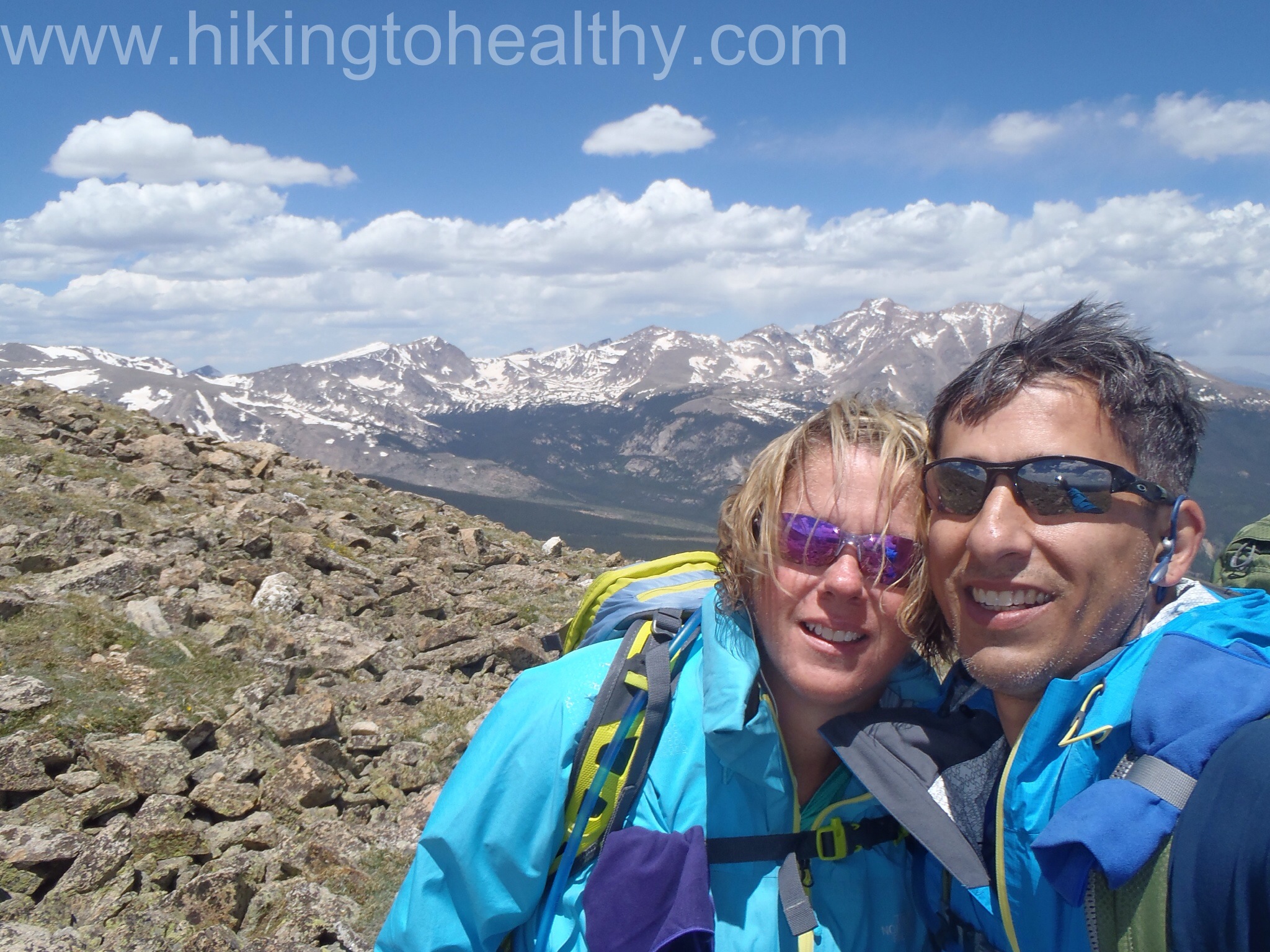
When we finally got to the top of St. Vrain mountain, the views were really breath-taking and if the wind hadn’t been so bad we would have spent a lot more time up there. We knew there was a chance of a storm rolling in so we kept a close eye on the clouds moving our way as the wind actually picked up in intensity. At one point I seriously thought I was going to get blown over.
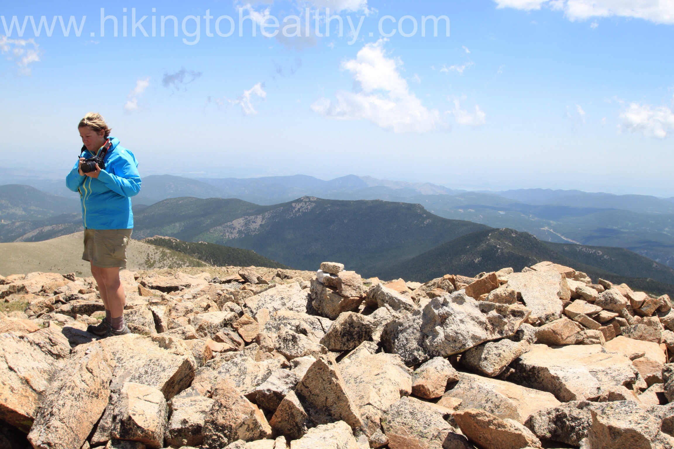
We took just 20 minutes of resting at the top and immediately started down. If I was worried when I was climbing up the summit, going down I was incredibly nervous with how steep it was especially after falling the weekend before on the hike down off of Twin sisters. Aaron told me to just take my time and follow him as much as I could. We were also kind of following the couple who was in the wind shelter with us, they mentioned that following the border posts was supposed to be the easiest way down. We were all of the mind that going down a slightly different way then how we went up might be a better idea and at first it was.

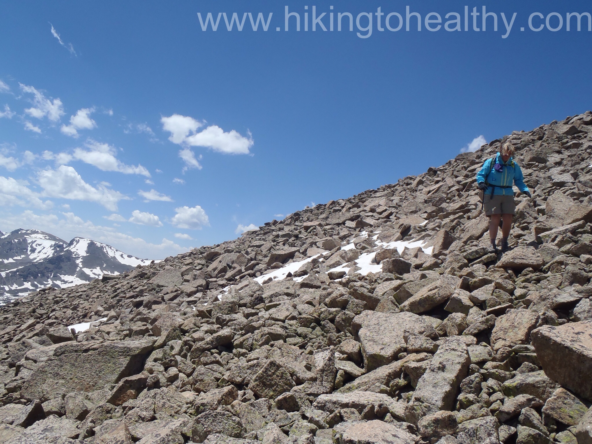
But we wanted to get around the snow field at the base of the summit climb and from up top it looked possible so we started heading right while they went left. It took me longer to get down from the summit then it did to go up, for like the first time ever. When we finally got to the bottom I was thrilled when we saw the trail that goes all the way past the mountain onto other trails and eventually the Continental Divide Trail, it was way south of the where we had turned up the mountain. As we tried to get around the snow, trees and bushes we were moving downward and further down then we expected. We weren’t getting any closer to our route down and the snow field was worse in this direction, ie the snow was deeper then we were tall. We decided that the smart thing to was to get to a trail entrance of the snow field and try to get across it safely to get back on trail. Neither one of us said anything to the other, but we knew that if one us went through the snow here there wasn’t much we would be able to do to get out or help the other because it was so deep at this part of the crossing. Needless to say we didn’t take out a camera to capture it all. We moved quickly and as lightly as we could, in short order we were back on trail.
Now things were changing very quickly, the dark clouds were rolling in fast over Long’s Peak, Mount Meeker, Lady Washington and building in over us while the sun was baking us. Suddenly Aaron started to slow down and I couldn’t figure out why when he tested his blood, he was pretty low with insulin on board. This was not a good time to stop and deal with it but we really had no choice, so in between he sugar feeding frenzy I got these pictures of the storm coming in.


He was such a trooper and started moving as soon as he could so we could try to get off the pass before the storm started while I looked for places we could take shelter or at least not be the highest point on the pass. I was pretty sure we were going to get soaked. Surprisingly the storm completely passed us by.
We were both spent now 6.5 hours into the hike with more than halfway down still to get through. We moved slowly but did keep moving, we passed about 6 or 7 groups of hikers just starting up and I bet they were treated to a beautiful sunset. The snow fields we crossed earlier were melting and much harder to get through the runoff deeper. Despite all that we were insanely proud of what we had accomplished because it proved to us both that we had come so far from last summer and told us we could do so much more!
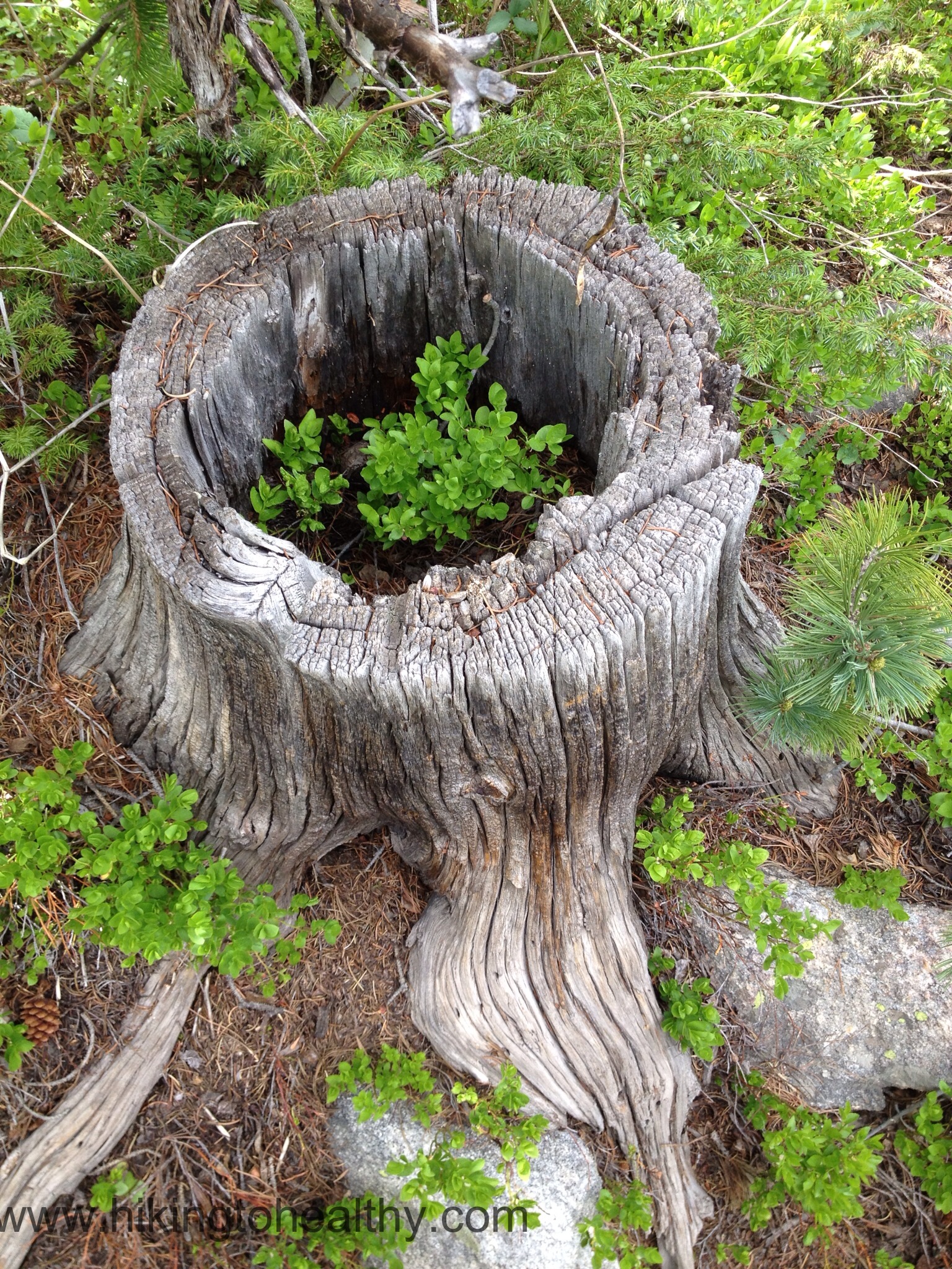
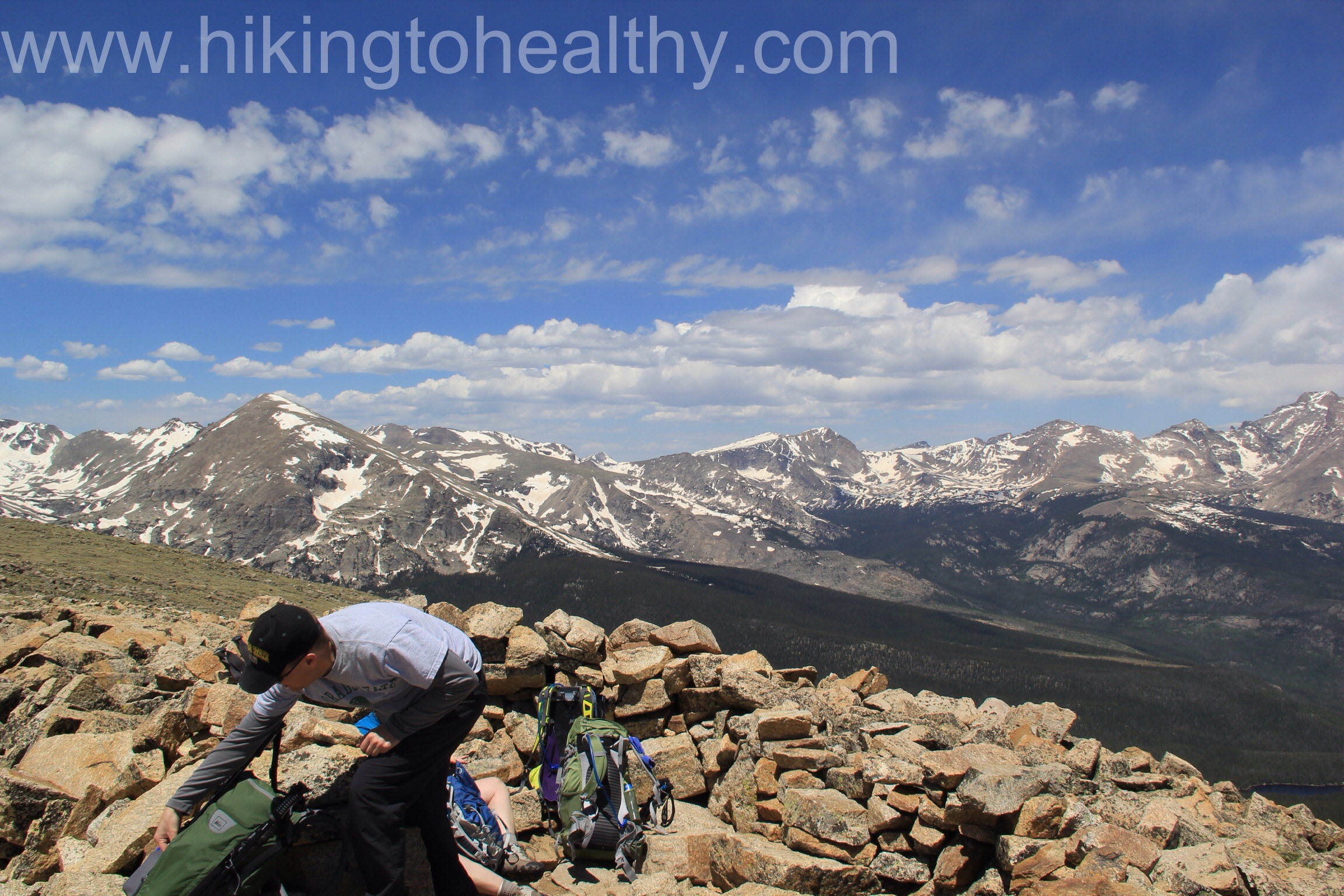
There are those moments on the way down where you see stuff you don’t know how you could have missed on the way up, like this:
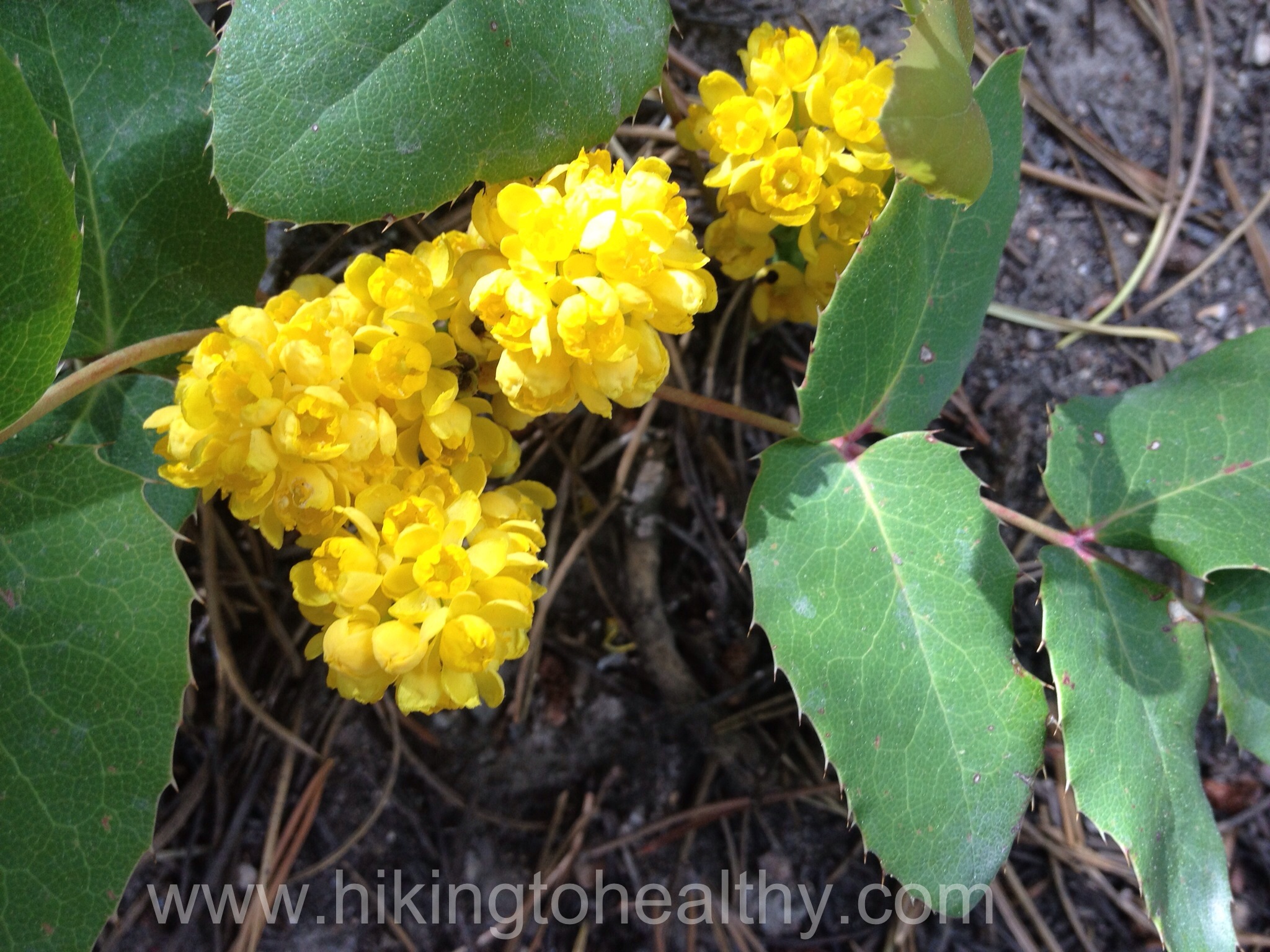
And the bottom part of the trail was a bloom with these flowers:
We were probably about half a mile from the end when came across the final group of hikers we would see. They casually asked if we had made it to the top we were excited to say yes and then she said so how long did it take you like 2.5 hours, because I have done this before, that’s how long it took me…. I was a little crestfallen when I answered, oh um we started at 8AM ( it was 4PM ) I started making all these excuses as to why we took so long but stopped, who cares how long it took us, we finished and that is all that matters. We walked up to the parking lot and saw our wind shelter buddies just getting into their car, it lifted our spirits because they needed 8 hours too and were like 15 years younger than us.
Things you should keep in mind when you do this trail:
1. It takes a long time to complete and if you start the same time we did you will be in the direct sun as you climb from the East to the West. Then when you come back down from the West to the East, the sun is still beating on you be liberal with the sun block and wear a hat. My sunburned scalp is mad at me.
2. Bring lots of water as we ran out of our 100 ounces just as we walked up to our car. We also always have a water filtration system with us just in case, this is exactly the kind of hike we carry it for. Plus we always have more water in our car.
3. Brings lots of fuel to keep you going over the course of the whole hike, we were moving for almost 8 hours straight that is a crazy amount of energy to expend and you need to be able to keep going.
4. know the weather and watch the sky, you do not want to be on the mountain or the pass when weather changes.
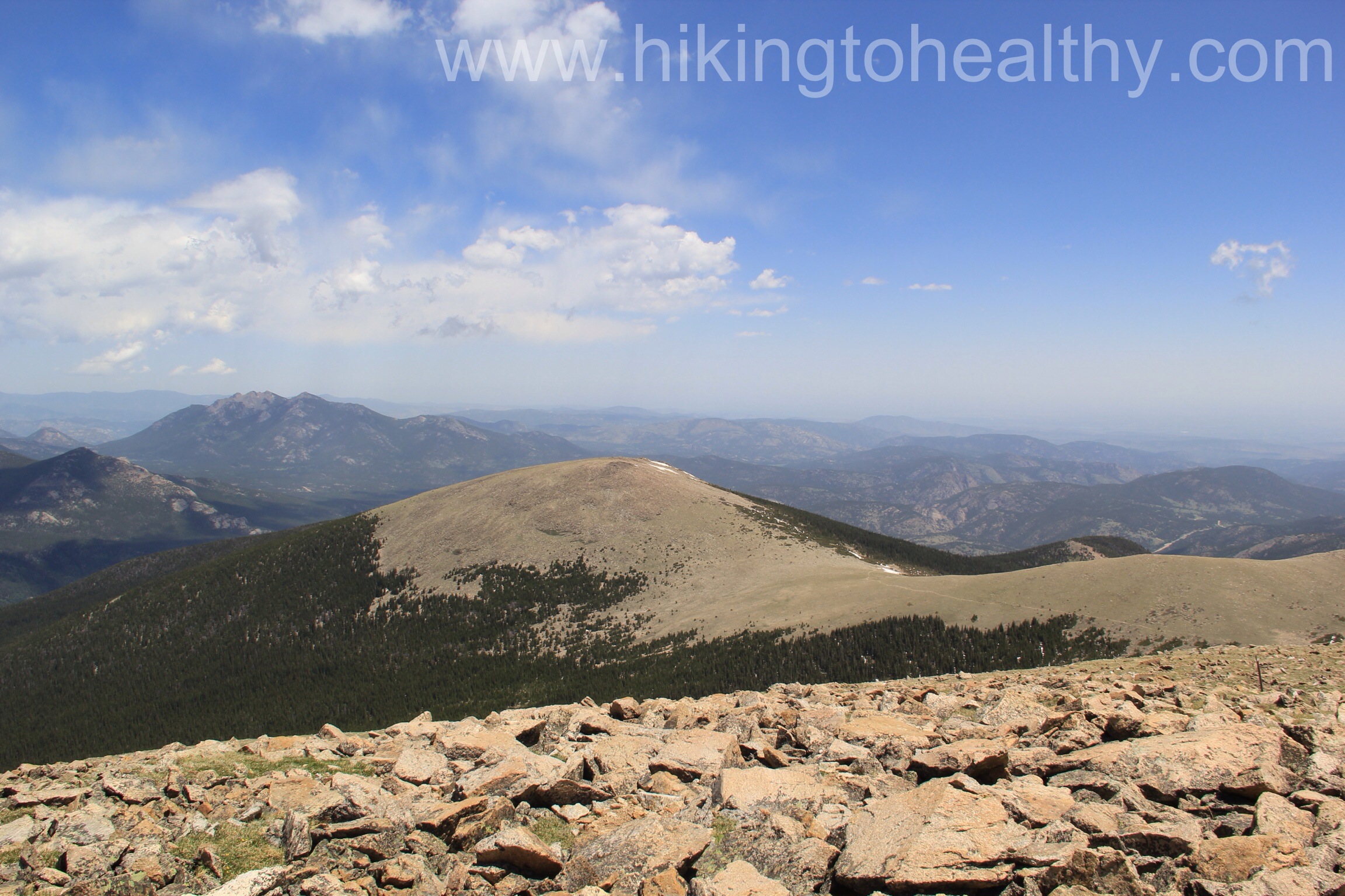
Even if the Mountain itself looks too daunting do this hike to the pass, that alone is worth it. You don’t get the amazing 360 views you can from the top but pass views are spectacular on their own. Here are the rest of my favorite pictures, I hope one day you find yourself able to try this hike it will be worth it.


I know I’ve said this to you before but this is a beautiful trail and countryside. How wonderful that you both can take advantage of it.
We are so thankful that we can advantage of it too! Every hike makes us love this state more! Thanks for checking it out!
Those boulder fields look scary! That is something I will most definitely have to build up to. You guys are amazing, and the pictures are just great!!
Thanks Karin! We definitely felt like we accomplished a lot with this hike!
Never had to deal with real snow – it sounds a little daunting. As for speed of ascents, it is meaningless. The ultimate goal is to have fun and stay safe. To do both, you have to go at your own pace. 🙂
Absolutely gorgeous photos. I’m ready to jump in the car and head north!
You should! The views are transformative, honestly my first time here I was 23 and I could never shake it which is why I moved here 7 years ago. I know your life is in flux right now, so as soon as you can enjoy this beauty!
That’s how I feel when I go to Wyoming or Utah, like it’s my “true home.” I would love to live there, but as long as I can visit I’ll be good with that. And I agree about nature and beauty being “transformative.”