
North Table Loop ( Jefferson County Open Space)
Lowest Elevation: 5850-ish Feet
Highest Elevation: 6500-ish feet (we went up and down a few times so the overall elevation gain was 900-ish feet)
Trail Length: Officially 7.5 miles via a full loop and my fitbit wasn’t too far off at just over 8 miles. It took us almost exactly 3 hours to complete
Trail Uses: Hiker, Biker and Horses and rock climbing cliffs ( at least 3 designated areas)
Degree of difficulty: Moderate but mostly due to length and the initial climb but the trail is very nicely planned the declines and inclines (mostly except the first one) seem mild and easy to conquer.
Bathrooms: At the trailhead and so nice, brand new and super clean….as I stepped towards the toilet a fan went on, I don’t know if it was a heater or just ventilation but I was impressed.
Pets: Yes – But Leash only.
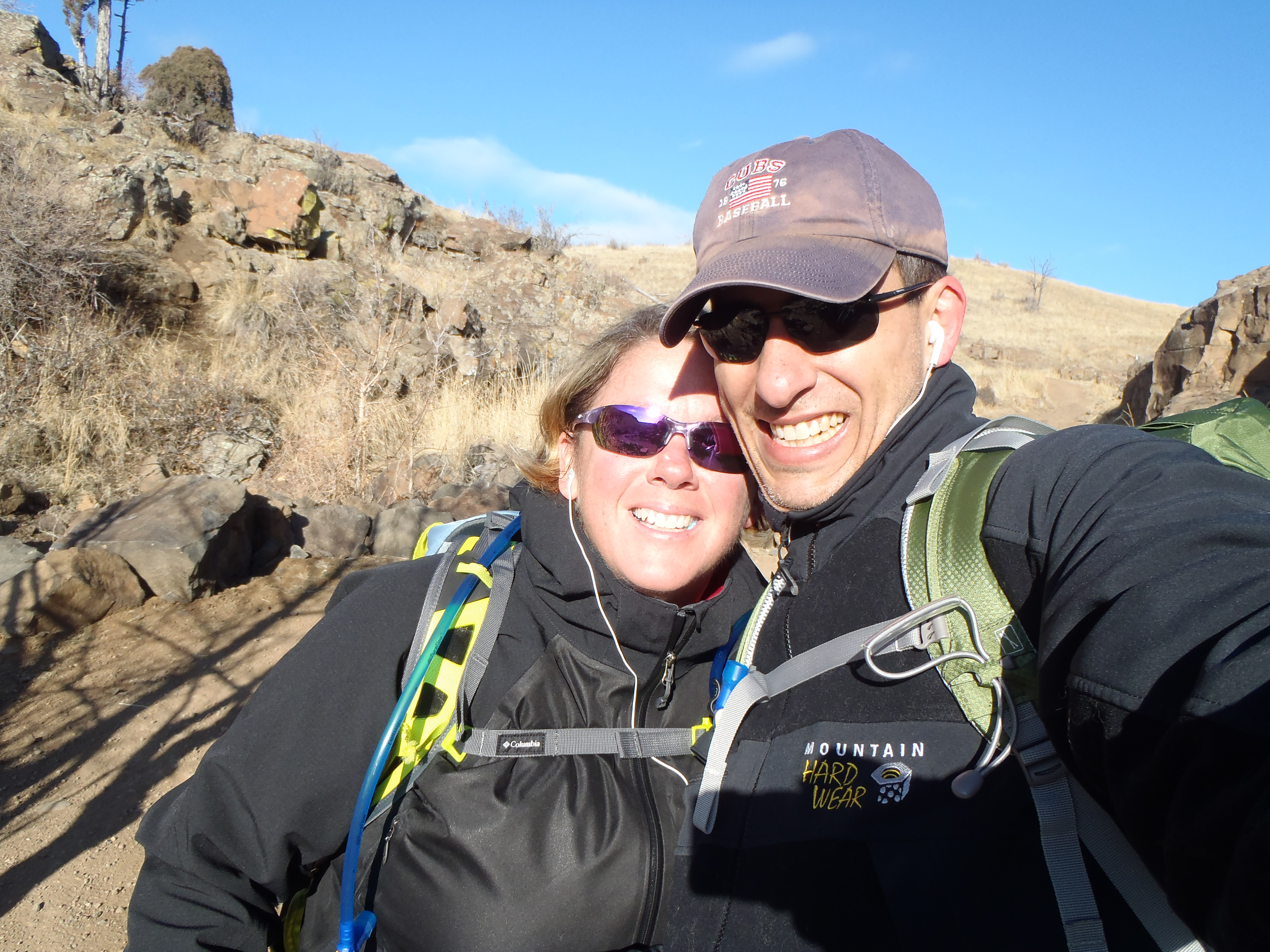
Today’s hike was one I learned about from my hiking super hero friend Wendy. She said that it is a staple for her and her husband on bad weather days and when they want to focus on inclines. Not because the whole park has hard inclines but the first one is a killer and so they just go up and down it to help them get in shape….after hitting it myself, she has once again cemented her reign as my hiking superhero! I have been holding it in my back pocket for a bad weather day and today was supposed to be a bad weather day here, so all week this is the trail I prepared for us to do. It was supposed to start snowing around noon and continue to Sunday, then 1, then 4……it actually started at 2 but then it only lasted for a sneeze, which is way too bad because we desperately need it here. I guess the good thing is the mountains were supposed to get the majority of it and I think their storm at least came through.
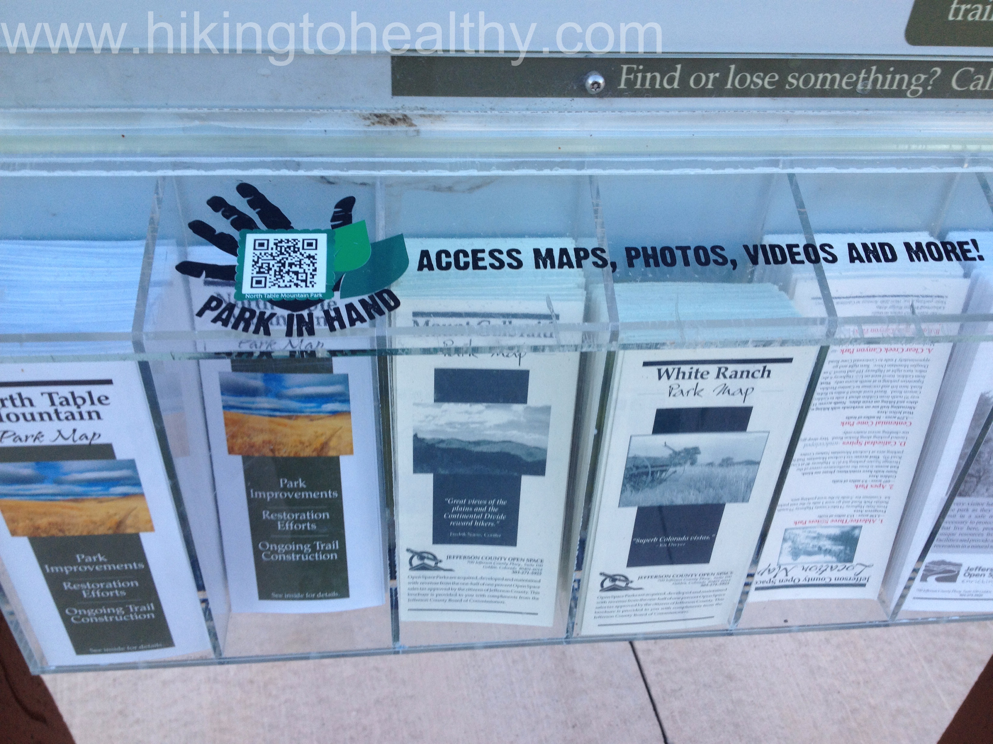
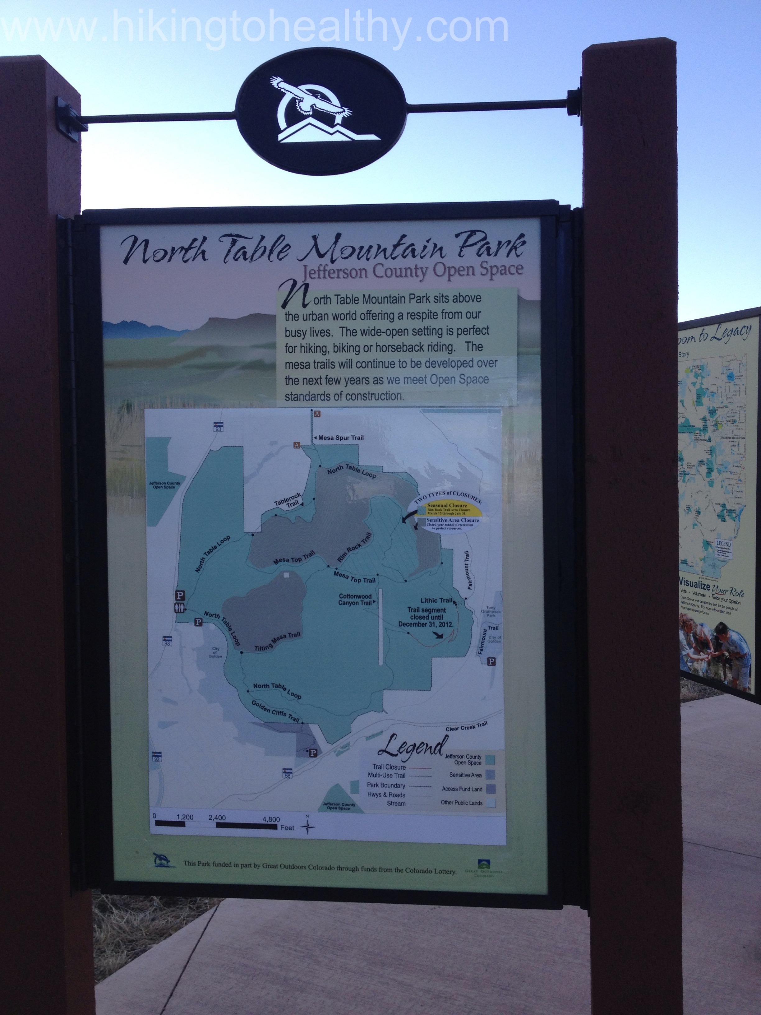
As we went to grab a map and a surprise to me, they had it app enabled so that you can scan the code and have the park details handy on your phone….strangely I haven’t downloaded the bar code app so we went old school and just took the brochure… But I thought this was so cool! I love how the Boulder and Jefferson county open spaces are on top of social media and smart phones!
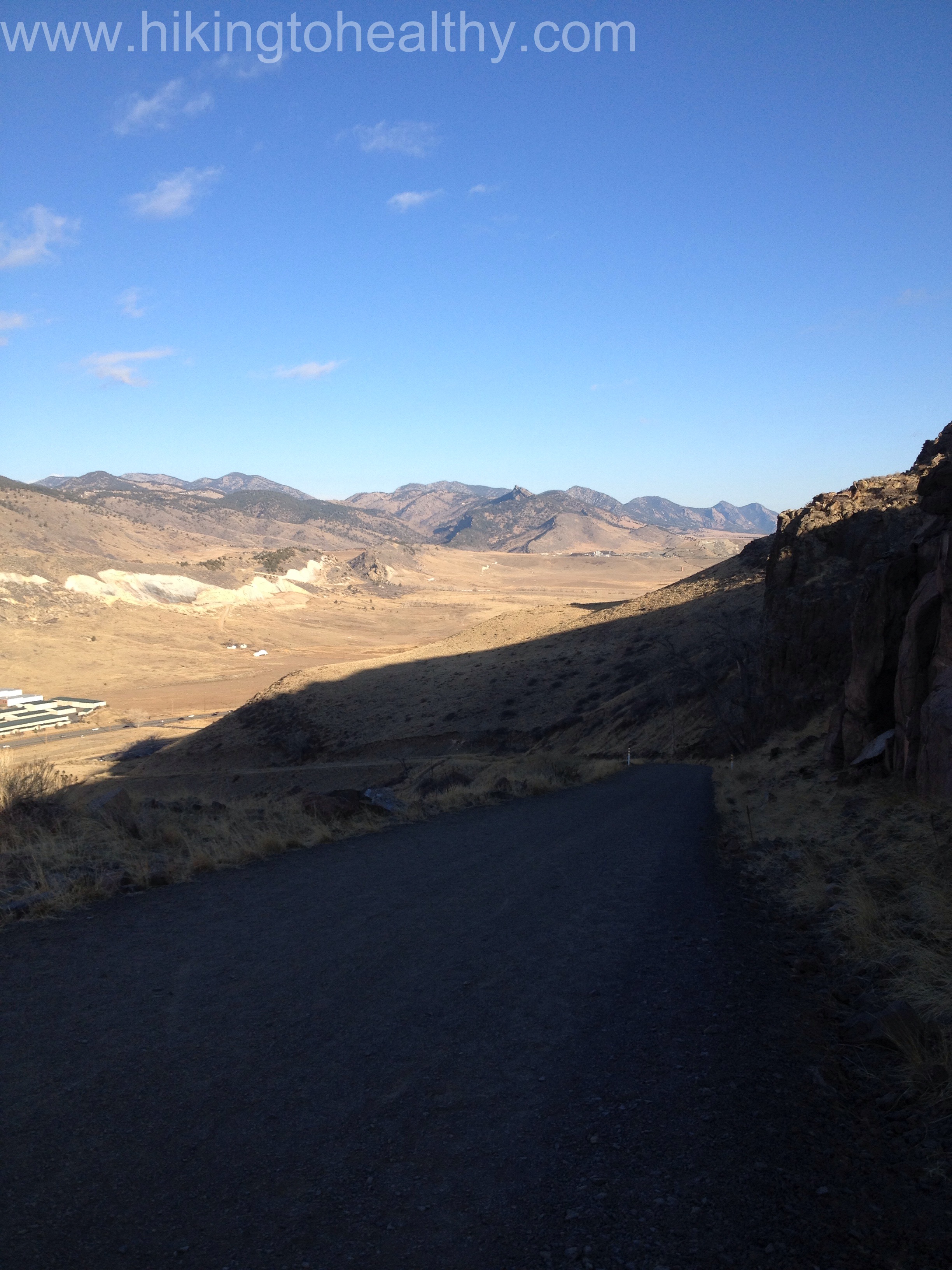
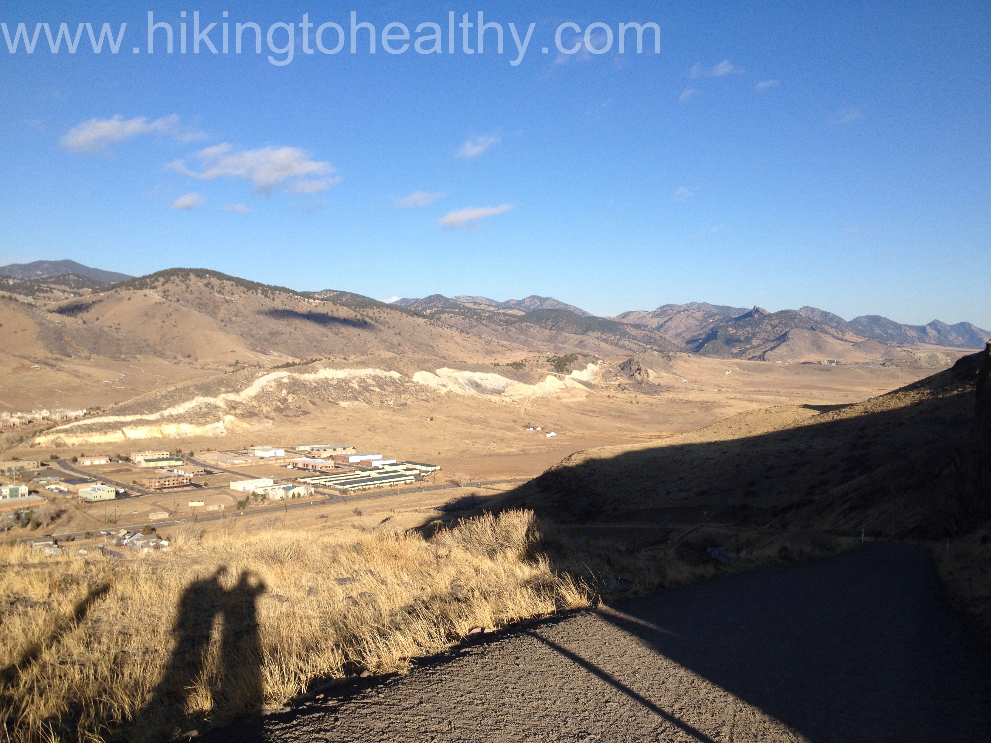
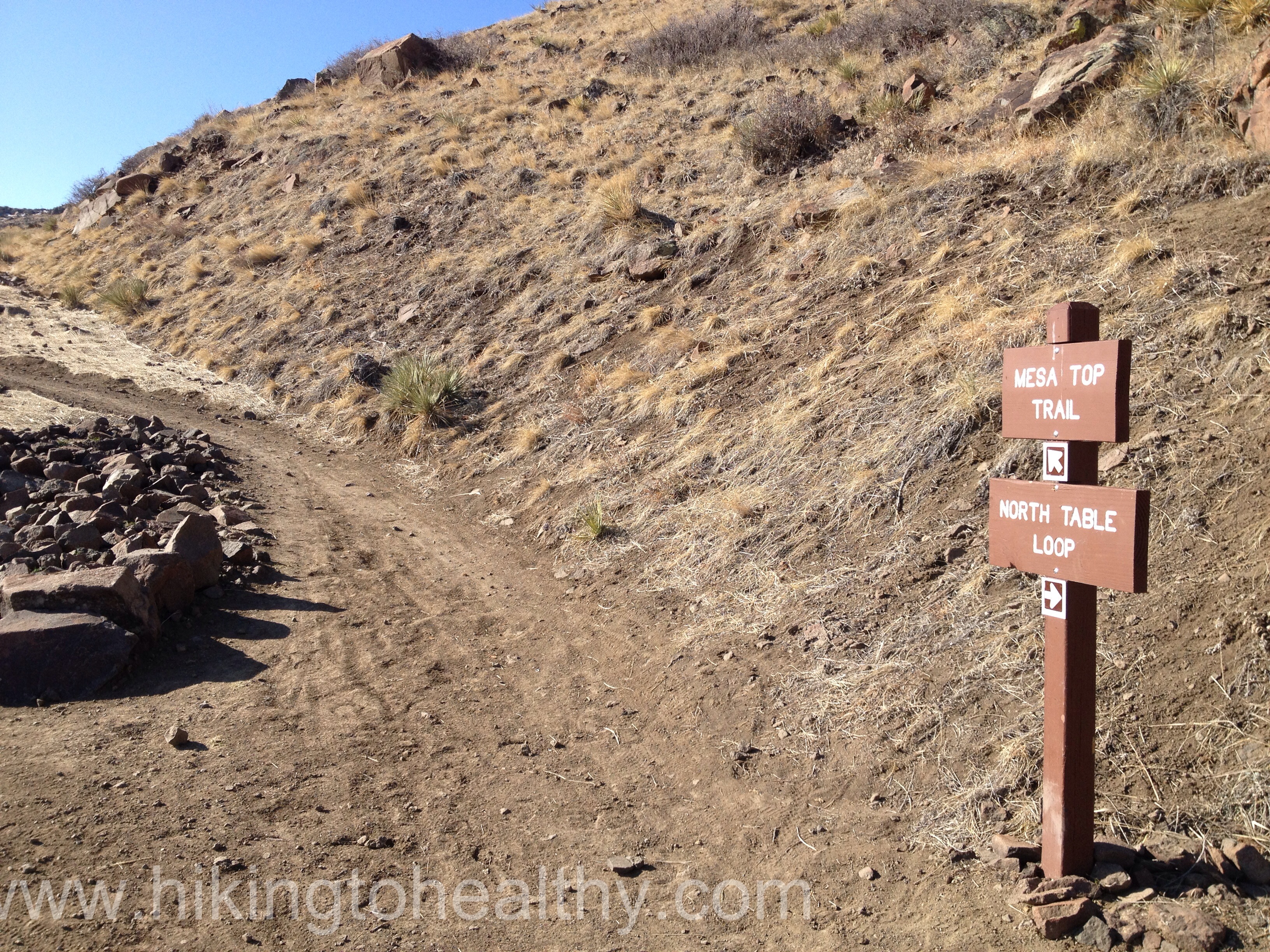
Let’s talk trail, we did the whole North Table Loop which starts right at the parking lot. You can grab it 2 places but either way you are making the climb so like ripping off a band-aid we took the trail that starts right at the park map and heads south. We huffed and puffed and struggled up an almost 500 foot elevation gain in just under a mile, it is definitely a calf and butt burner. Usually this would have me concerned about the rest of the trail but in fact I knew already this was the hardest part but maybe still harbored a little doubt.
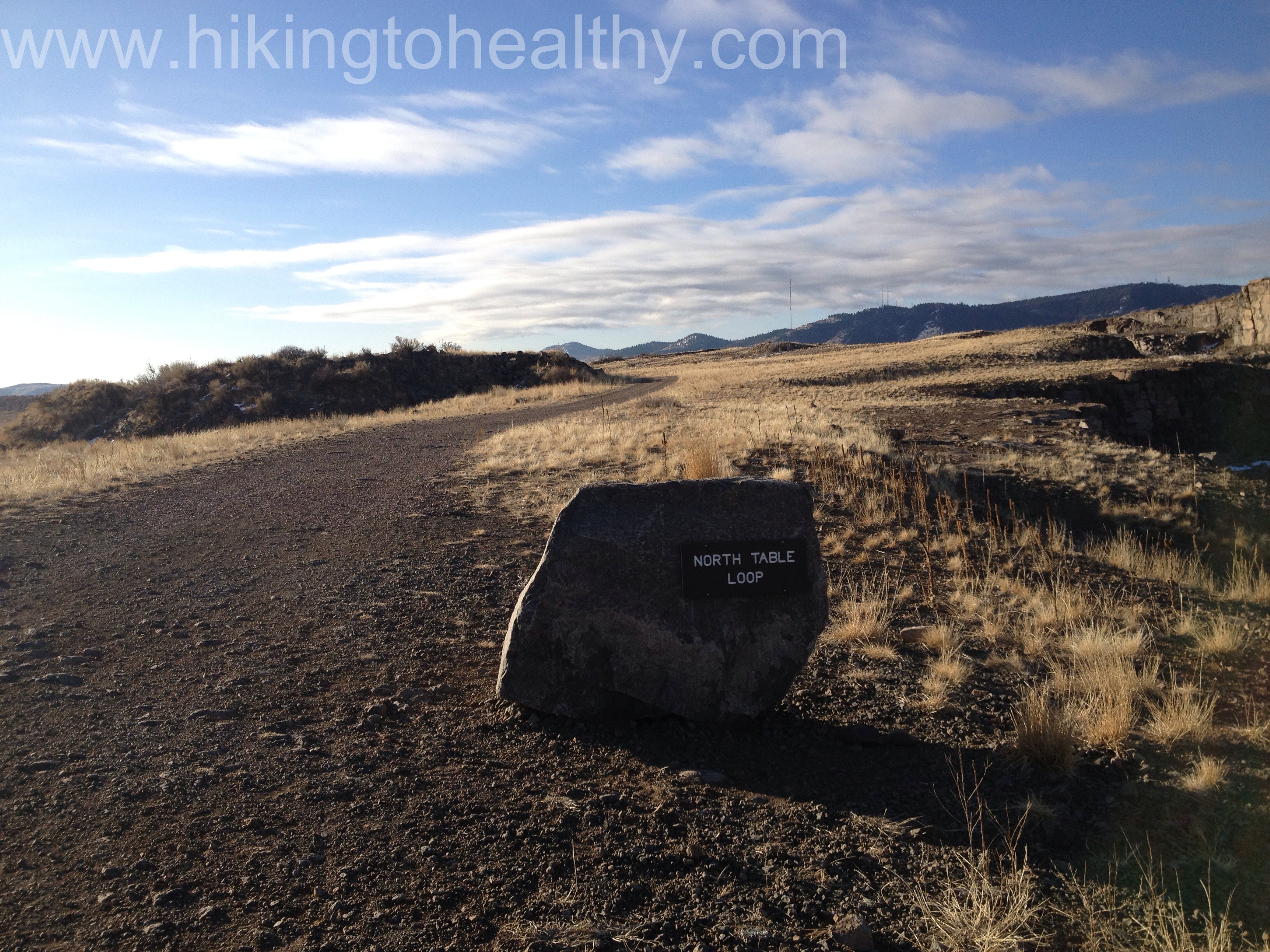
This trail was recently lengthened, and it looks like they updated everything but I liked this part the best, half the trail markers are on rocks and the North Table Loop is incredibly well-marked so getting lost is impossible. After climbing up initially, there is then a very slow descent that is just lovely.
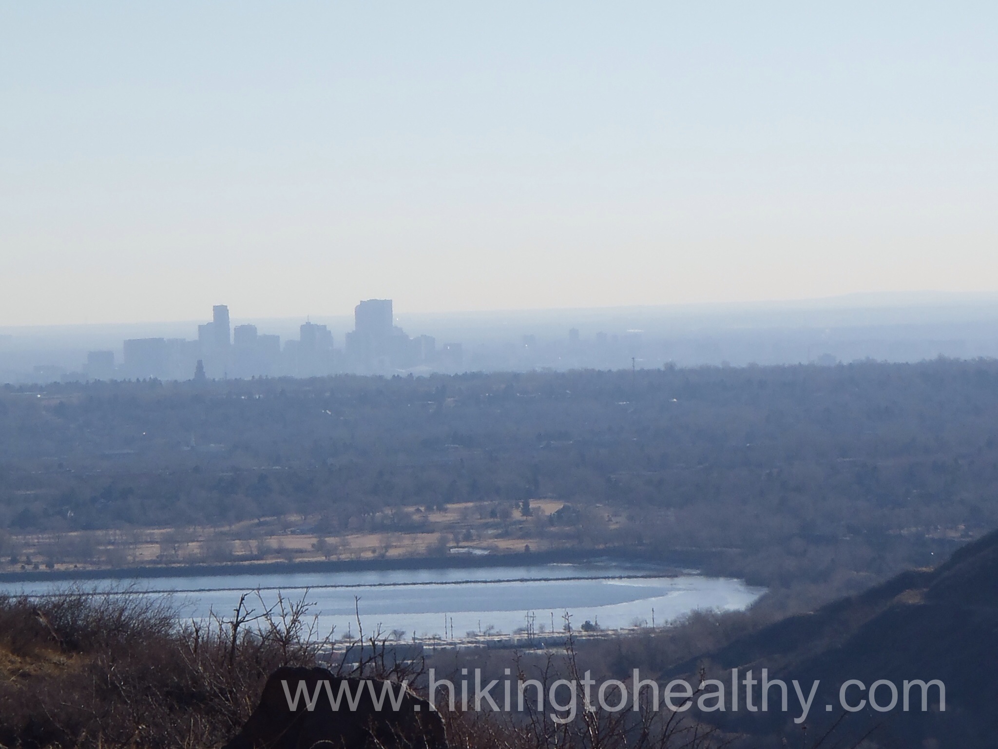
As we came out of this beautiful canyon we started getting views of Coors Brewery and then Denver in the distance and for some reason today there was a bizarre fog/smog early in the morning surrounding Denver so my picture wasn’t great but this is exactly what it looked like to us too.
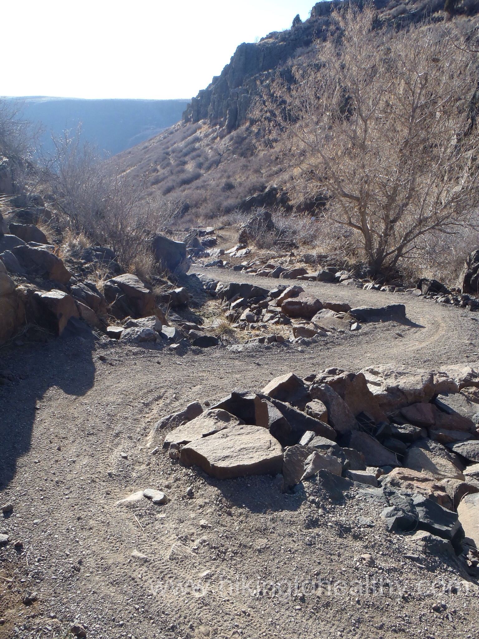
The trail itself goes from a wide road to a single track and back again which was nice because passing was easy and there were sections we could walk side by side.
If you want to cut the trail down to just 5 miles you can take the Mesa Top trail back to the parking lot, otherwise keep on the North Table Mountain Loop.
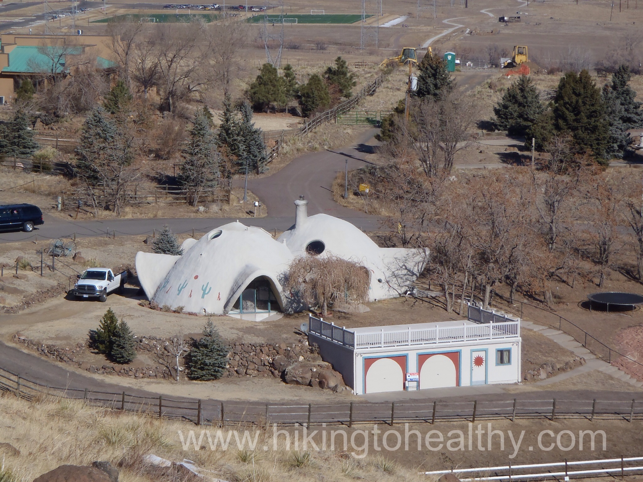
As we came around the Mountain it got decidedly residential but still very beautiful, I couldn’t help but grab a picture of this house it was so interesting and it kinda made me think of a Hobbit hole…..
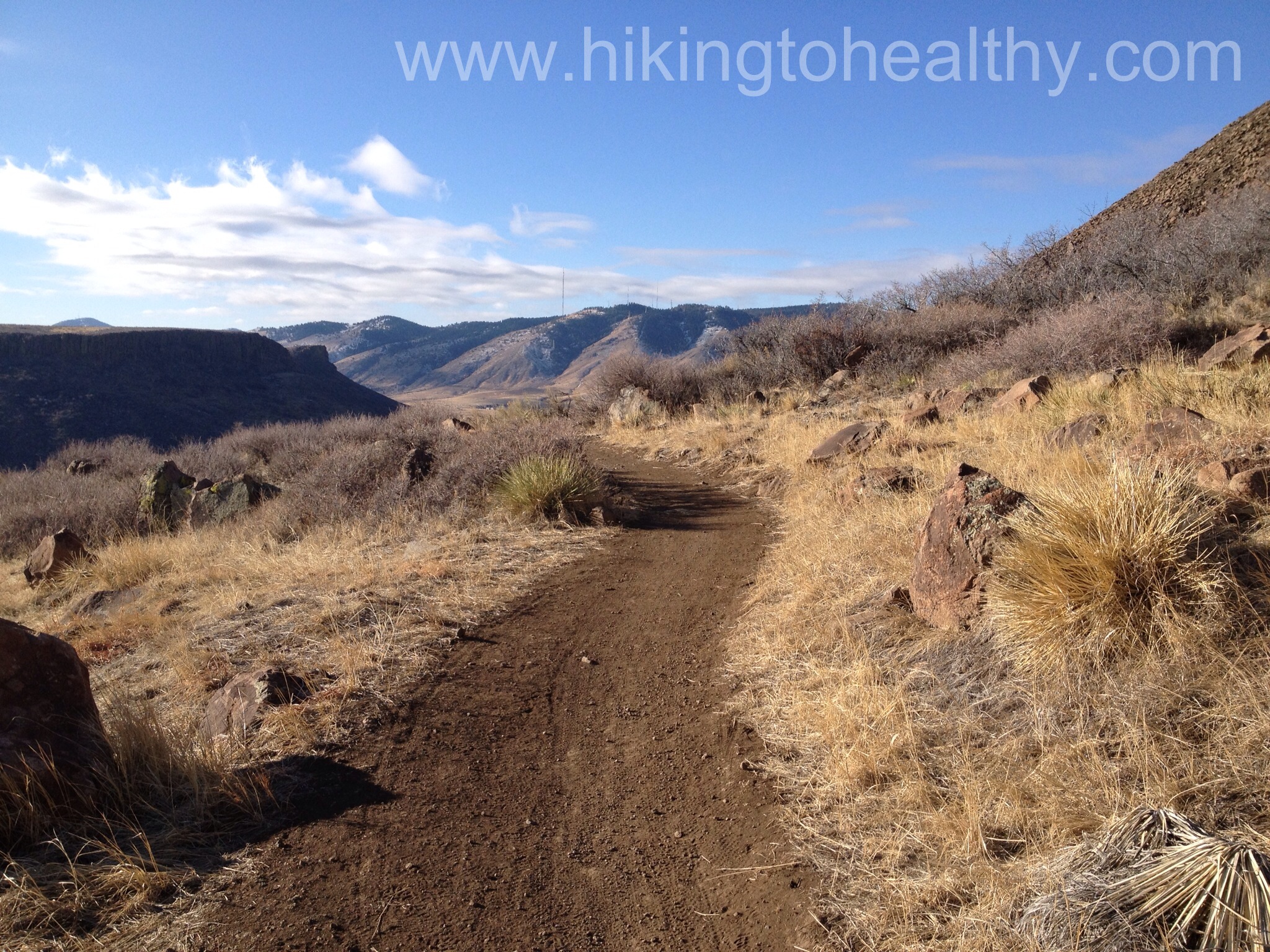
And then the views of the front range just took over, we saw where we hiked the weekend before in front of the flatirons and way northwest.
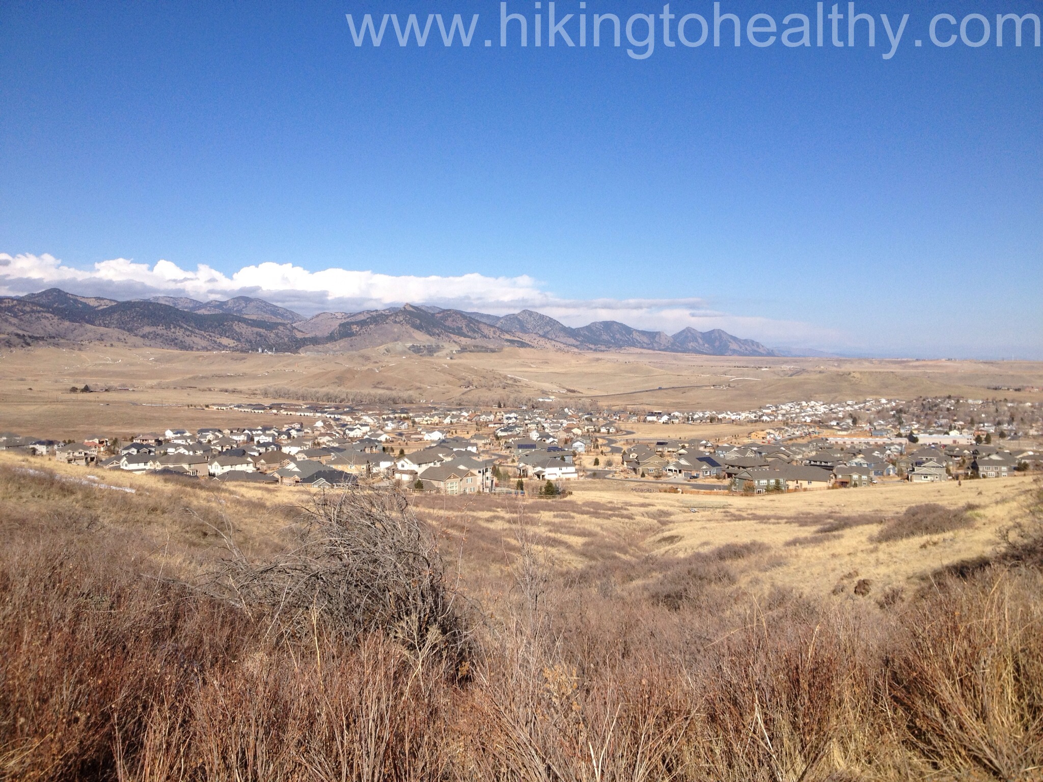
Then Southwest as the storm clouds started rolling in.

This is the worst part of the trail in the last 2 miles there is a brief stretch where you walk past these power lines and man were they crackling

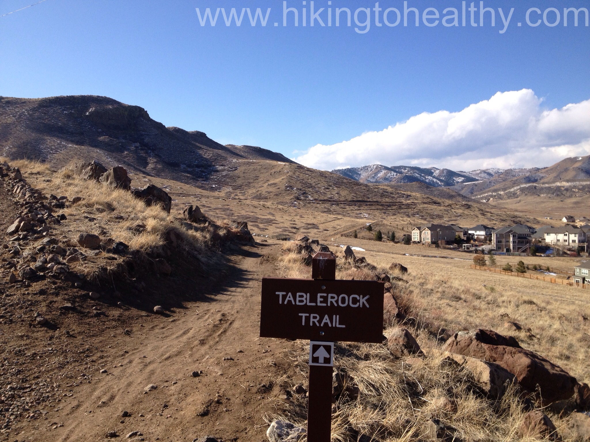
Just before the second power line tower is the last trail break and then it is not long before you get back to the parking lot. It is an alternate to the final small incline to the end of the trail, plus residential access we decided it would be awesome to have this park be your backyard it was perfectly challenging and beautiful.
We were surprised at how much we liked this trail, I will admit that the residential views were a little concerning at first but the overall views of the mountains west, north and south not to mention the beautiful views of Denver and Golden, put it all to rest. We encountered moderate traffic, mostly bikers and joggers and everyone was so nice and friendly such a refreshing change from last weekends bizarre meanness. I had expected there to be a lot more people there since the new section just opened a little over a month ago but it wasn’t too bad although I am sure it was because of the uncertain weather expected for the day. One other thing worth mentioning is this trail is entirely exposed, there are almost no shady parts which means it is HOT trail in the summer so go early or late and slather on the SPF! There is also a seasonal closure fast approaching on the Rim Rock trail 3/15- 7/31 as it is a nesting ground for cliff nesting birds. This is a new favorite for us so I hope you check it out if you get the chance.
Directions:
4758 Highway 93, Golden CO 80403
The trailhead is north of Golden on State Highway 93, just north of Pine Ridge Road. There are six dedicated spaces for horse trailers. Left turns are not permitted when leaving the parking lot and turning onto Highway 93.

So lucky to be there. I have to drive 200 miles before it is not flat flat flat.
I know!!!! Its a good thing we threw caution to the wind and moved here, best thing I ever did!!! But soon you will be in the thick of it relishing every minute of your journey!!!
I am also trying to hike to get healthy.
Yay! I find doing something I love has made it so much easier to stay motivated! Every week I think about the impending hike and if I can do it and that keeps me moving! Good Luck and thank you for checking out my blog!
Oh! My old back yard. A great evening after work option. Watch out for rattlers up there. They love it up there. Happy hiking!
Heather! I was wondering, Deer Creek is another good place for them and this reminded me so much of that hike! You mentioned Centennial Cone in the past did you summit or just take the path around, I am trying decide if I should check it out and the to summit or not?
You certainly did choose a great spot for a hike.
It was surprisingly beautiful, but so much of Colorado is!
Another great blog, my friend! I’m living through you, I hope you know. Love the comment about your hiking super hero!!
Thank you for reading Karin, it means so much to me! Glad you like it!
I like the picture of the city in the distance…very cool. So funny that even in nature we need our smart phones 🙂
I know! I am pretty addicted to my phone although some things need to be old school….